Trail Overview
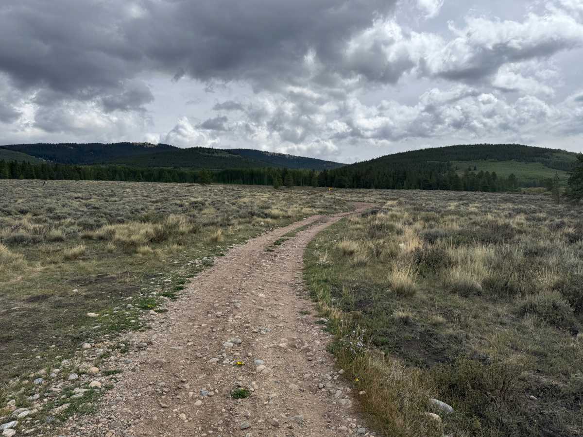
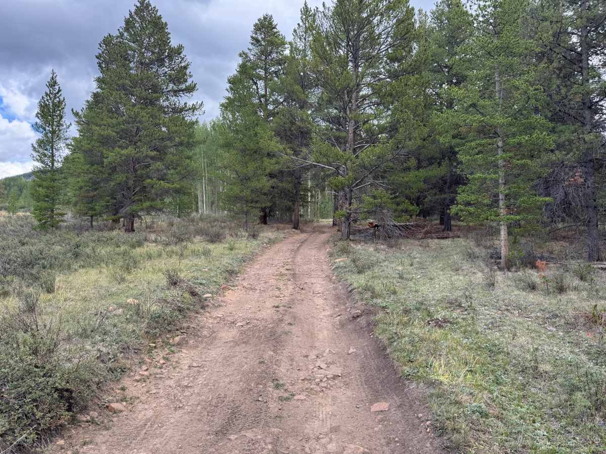
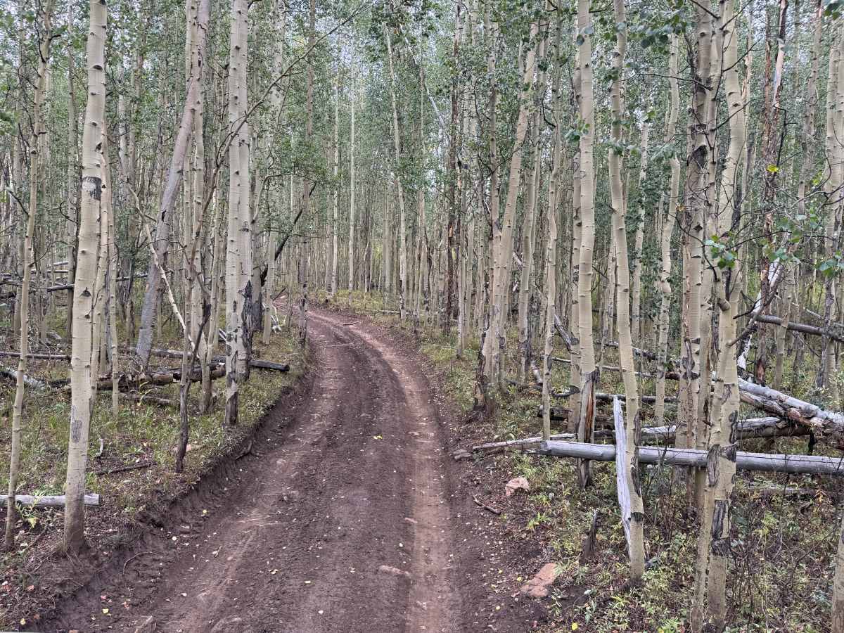
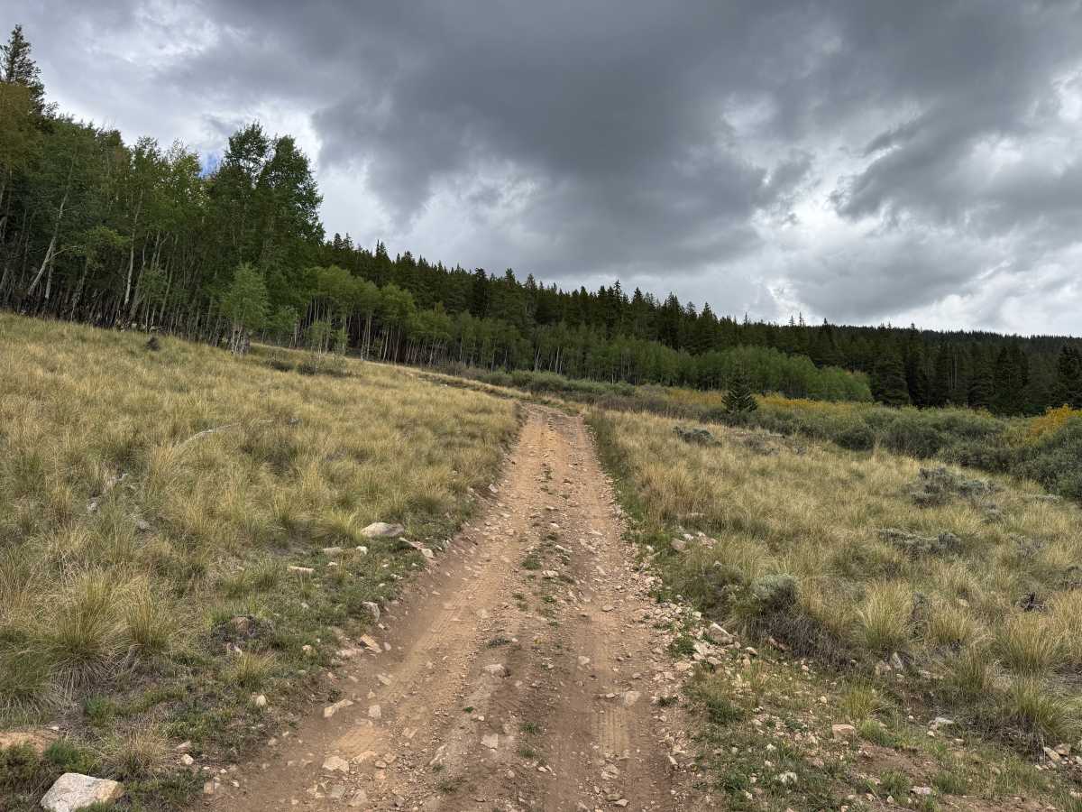
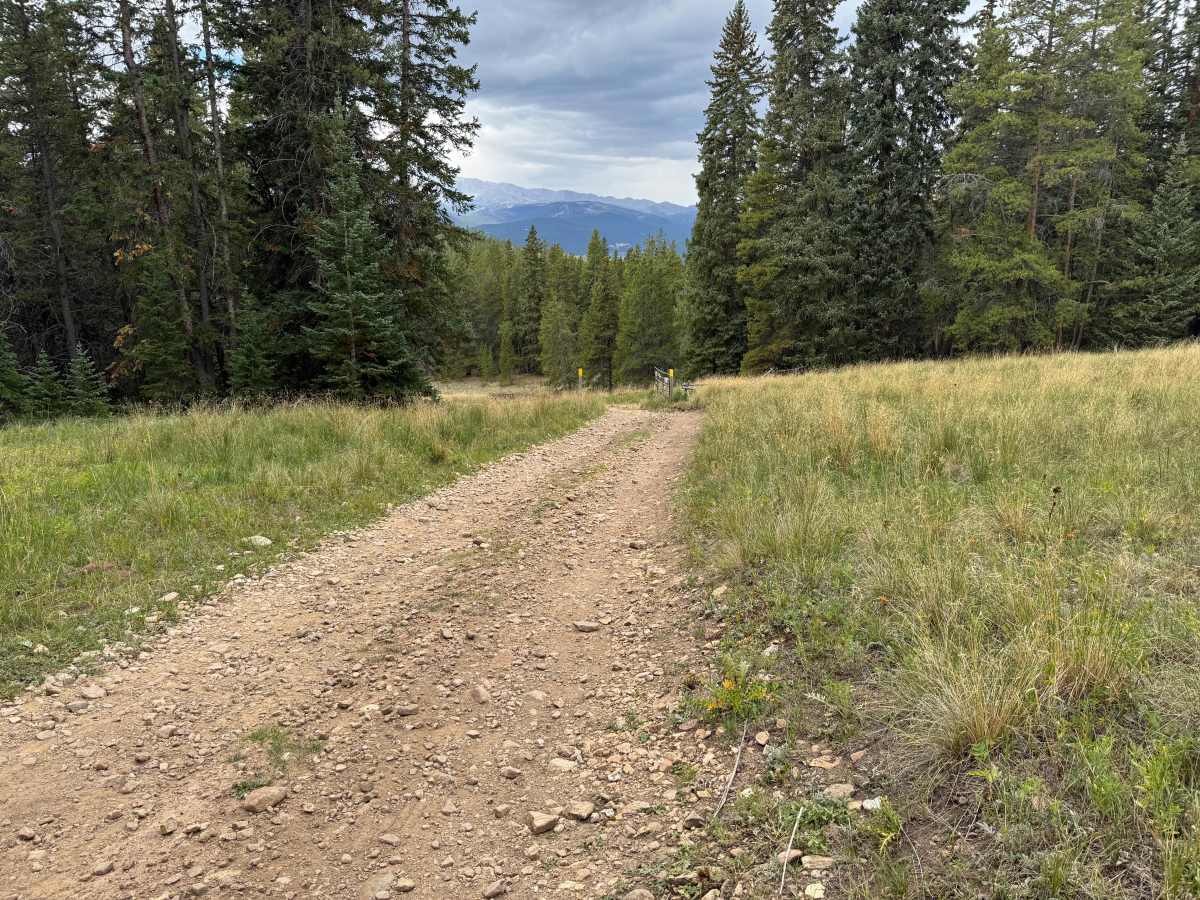
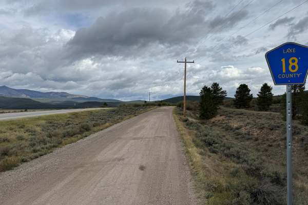
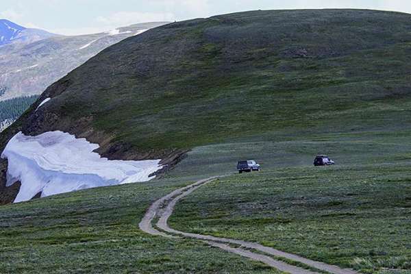
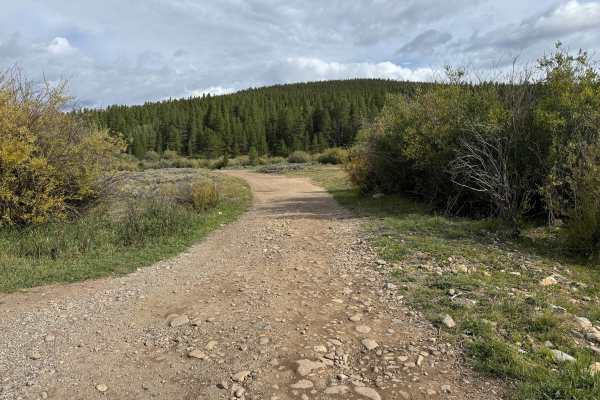
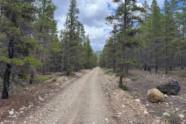
This route travels across a mix of open sagebrush meadows, grassy clearings, aspen groves, and sections of dense pine forest. The trail surface varies between packed dirt and stretches covered with loose and embedded rocks, with shallow ruts and uneven areas along the way. Most of the route is approximately one vehicle wide, although the open meadows provide additional room in some areas. The route passes through several large stands of aspens before returning to thicker forest, making this a scenic route during the fall. There are no major technical obstacles, but rain can leave the dirt sections muddy and slick. Be aware that this route has a seasonal closure to all motorized vehicles from December 1 through June 30 to reduce stress on deer and elk during the winter and reproduction seasons.
Difficulty
The route consists primarily of packed dirt with scattered loose and embedded rocks, shallow ruts, and minor uneven sections. Mud and slick conditions may develop after rain, but there are no significant ledges or technical obstacles.
History
The mountains north of Leadville have a long history connected to mining, transportation, logging, and early settlement. Tennessee Pass became an important transportation corridor through the mountains, while mining activity throughout the Leadville region resulted in numerous roads being constructed to reach mines, claims, camps, and other industrial sites. Railroads also played an important role in moving people, supplies, and ore through the region. Remnants of old roads, mine workings, structures, and other historic sites can still be encountered throughout the surrounding mountains.