Trail Overview
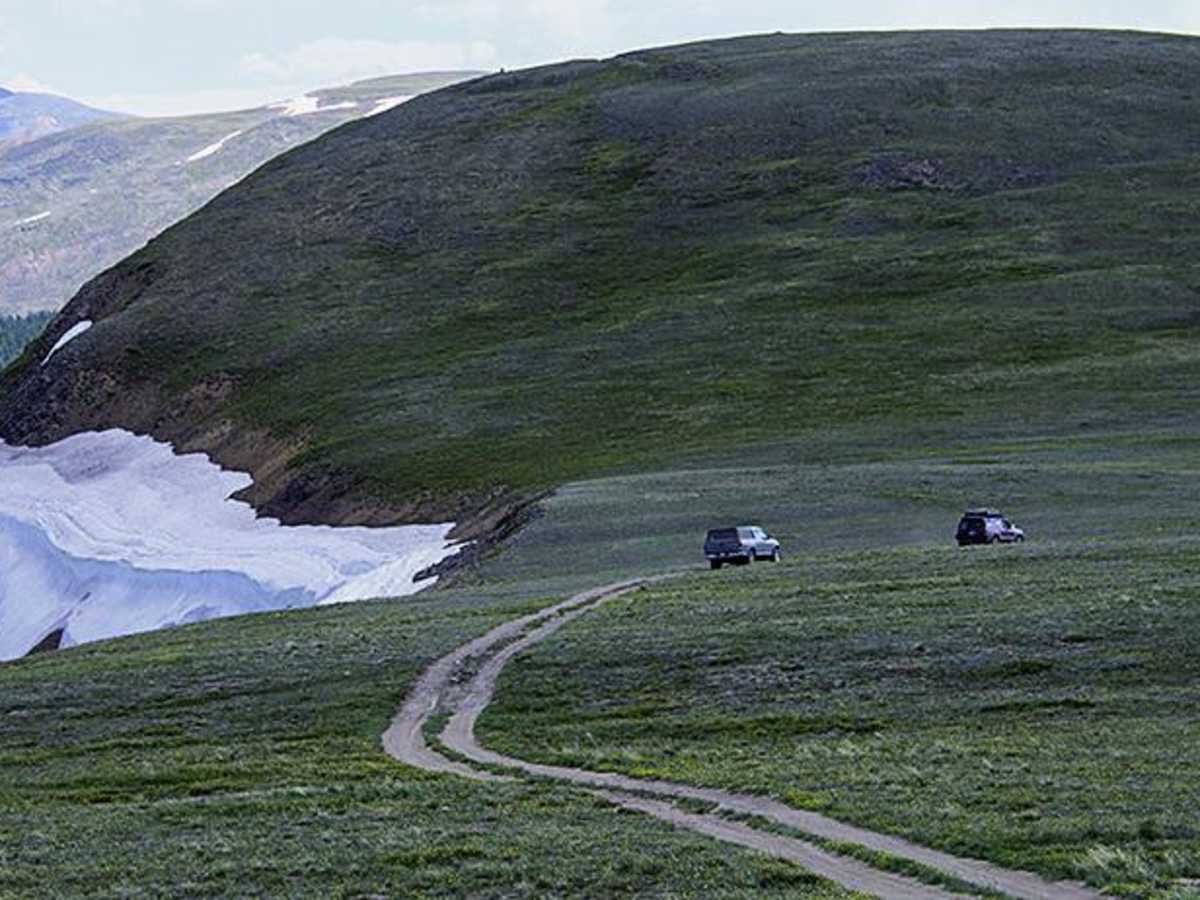
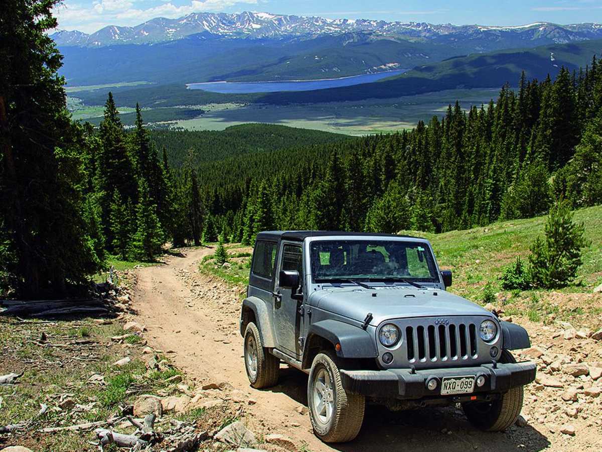
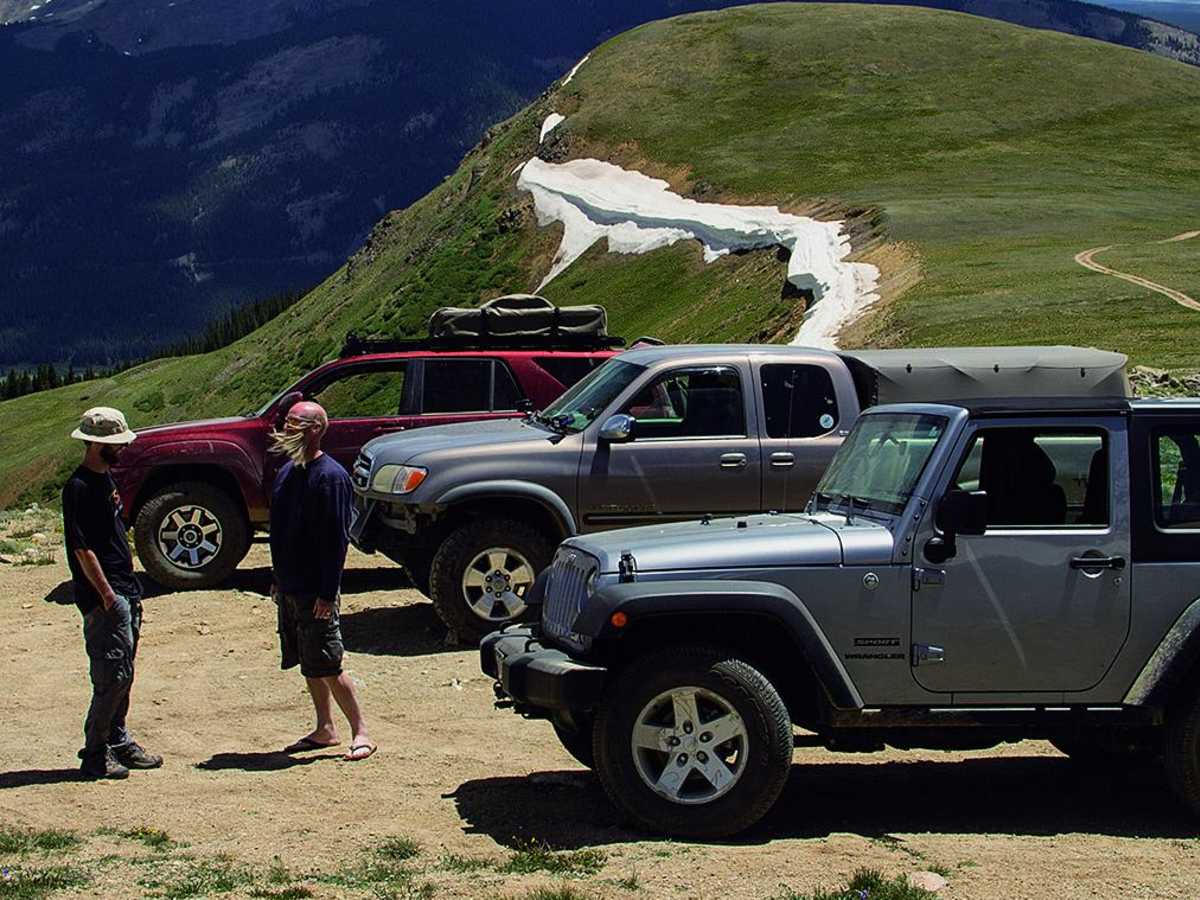
Mount Zion is an exceptional route for intermediate four-wheel-drive enthusiasts looking to experience high-altitude Colorado vistas without extreme difficulty. Spanning roughly 6.4 miles north of Leadville, this trail climbs from 9,966 feet to a peak elevation of 12,311 feet near Buckeye Peak, delivering over 2,700 feet of cumulative elevation gain. Drivers will traverse Forest Service Road 109 and Forest Service Road 189, with Mount Zion situated just over halfway through the journey. Along the route, expansive panoramas of the historic town of Leadville and Turquoise Lake present excellent photo opportunities.
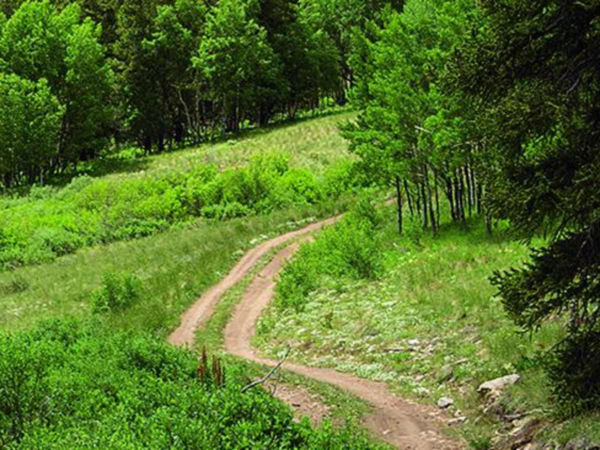
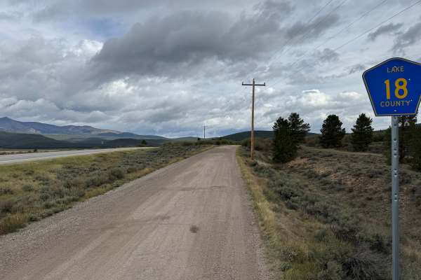
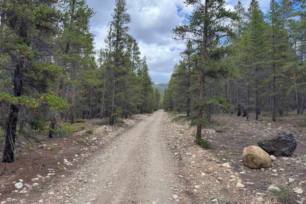
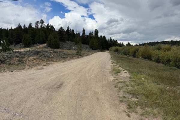
Rated as a moderate level four difficulty, the trail features a steep, rocky, and loose hill climb that requires careful tire placement, though stock, high-clearance four-wheel-drive vehicles with experienced drivers can successfully navigate the terrain. Accessing the trailhead involves driving north from Leadville on Highway 24, staying left where Highway 91 branches off, and turning right onto an unmarked dirt road 1.4 miles further. While Forest Service Road 109 remains open year-round, Forest Service Road 189 is closed seasonally until June 30 due to snowpack and environmental protections, making late summer the ideal time to complete the full route. Dispersed camping spots are tucked away in the pine trees just past where the two forest roads split.
Difficulty
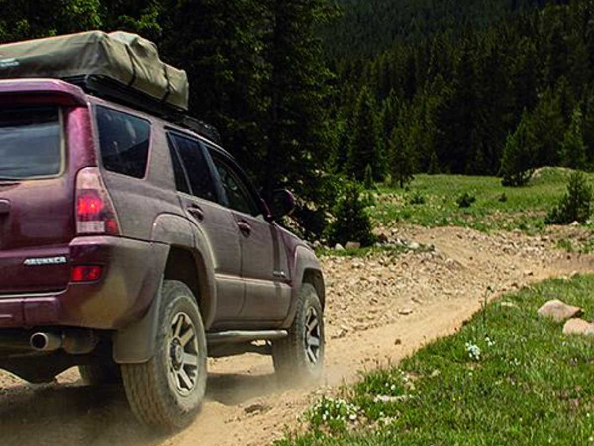
Moderate. Last time we drove this trail, it was fairly easy due to recent maintenance. This time we encountered a steep, rocky, loose hill that we rated as moderate. Most stock, high-clearance 4x4 SUVs should still be able to handle this trail with an experienced driver.
Access Description
Forest Service Road 109 is open to vehicle traffic year-round, while Forest Service Road 189 is subject to a seasonal closure and remains closed until June 30. Dispersed camping is permitted further back in the forested areas once Forest Service Road 109 splits to the left.