Trail Overview
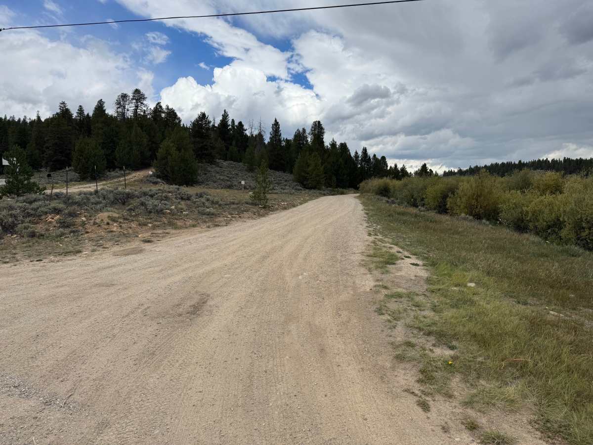
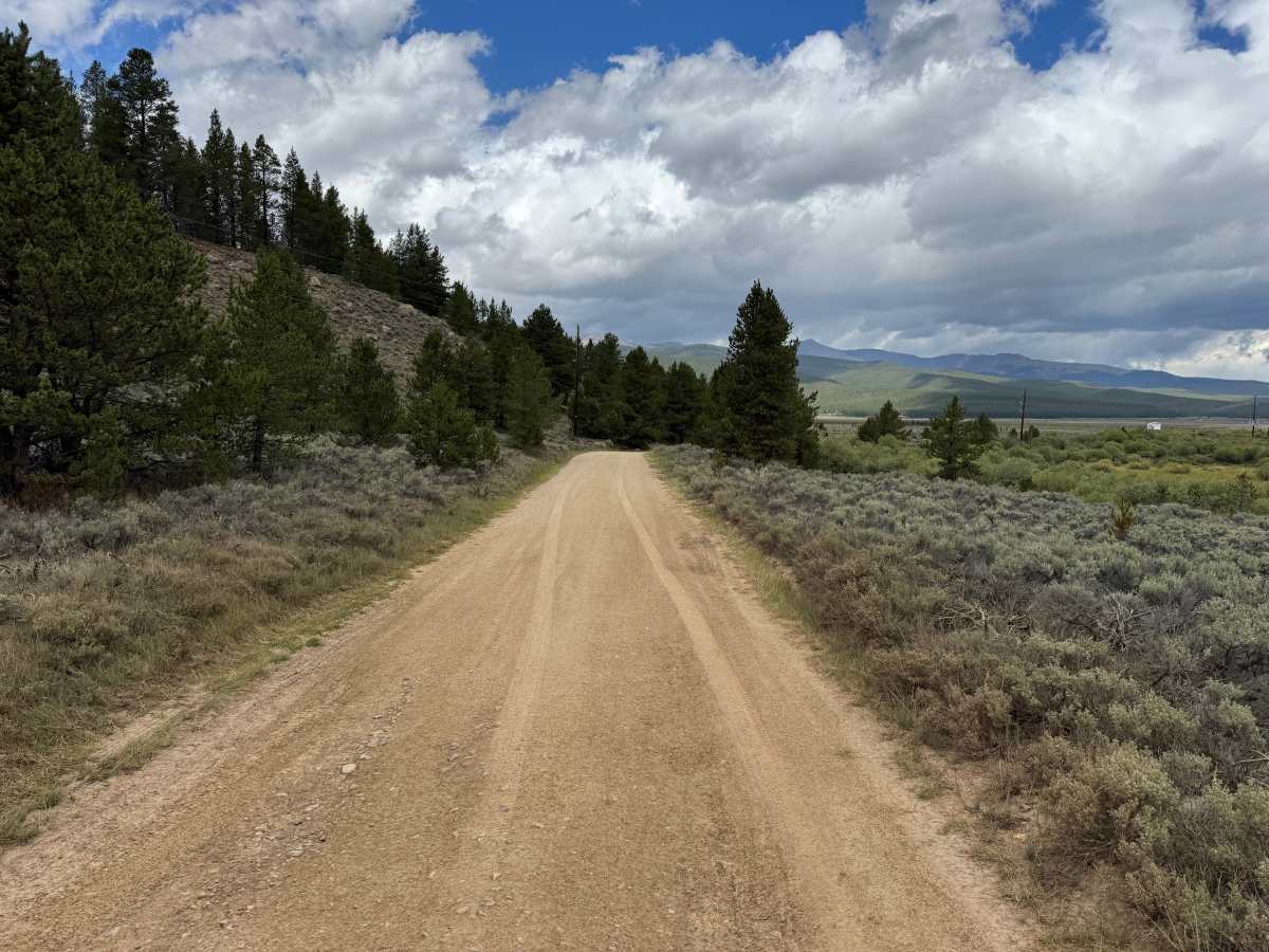
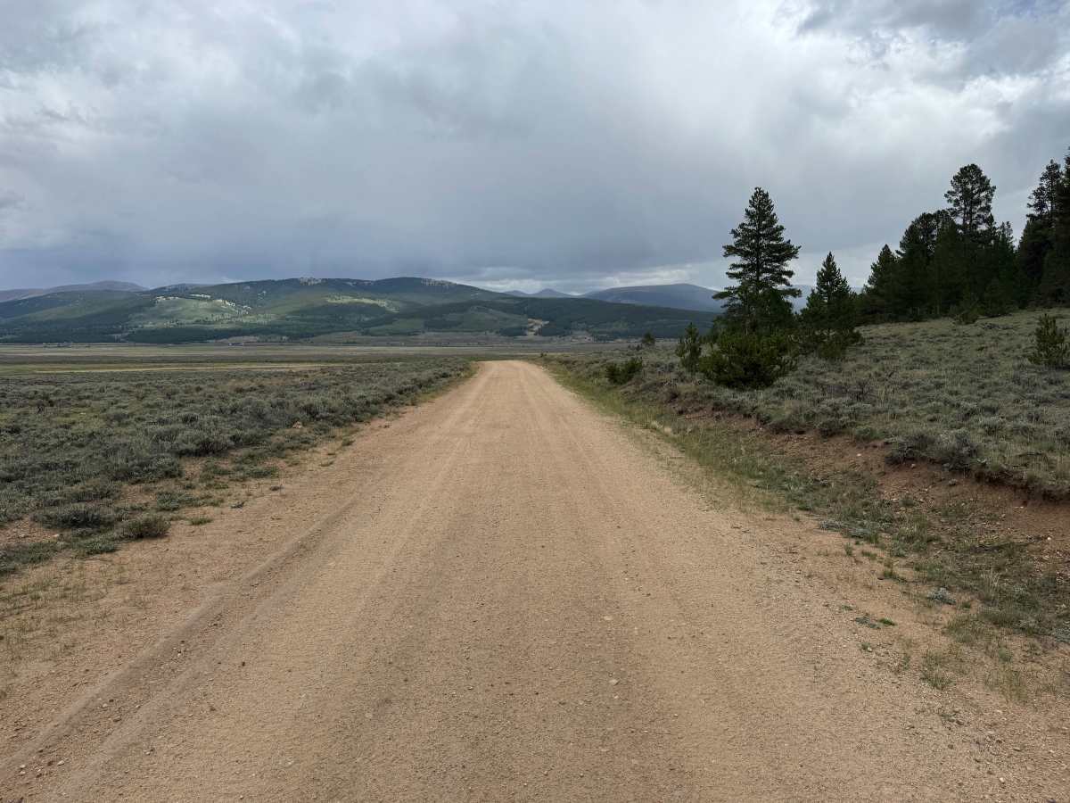
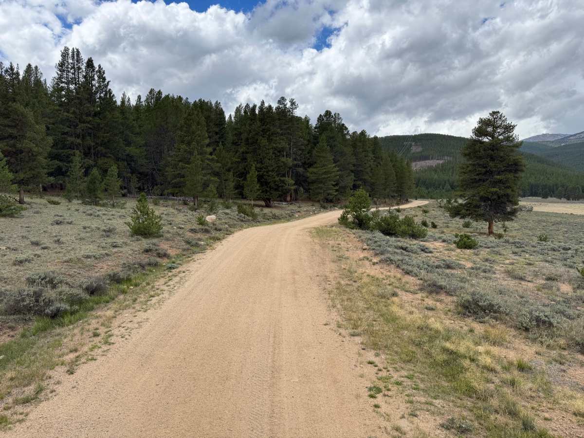
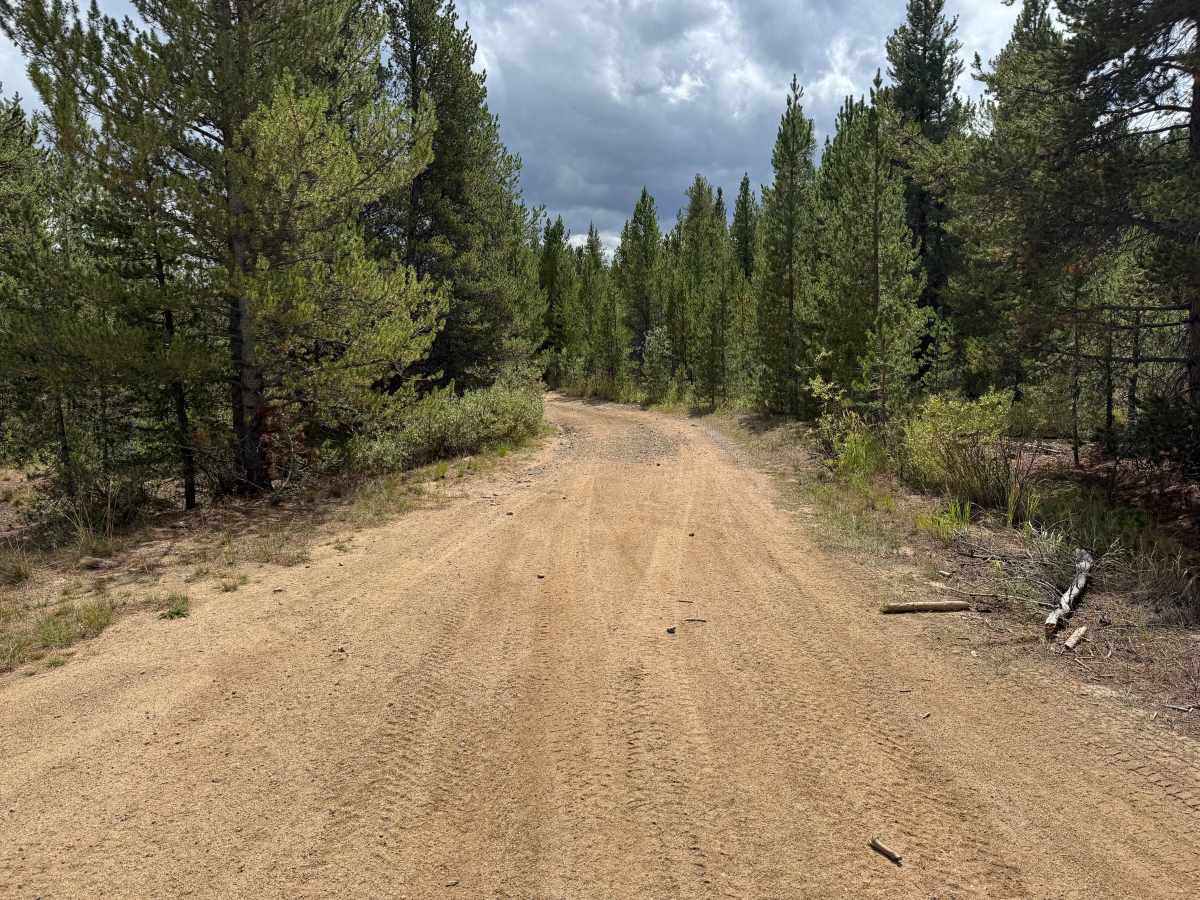
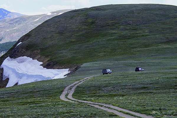
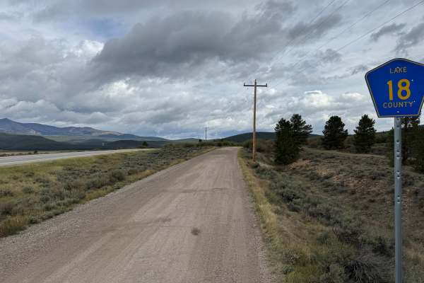
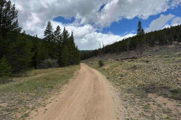
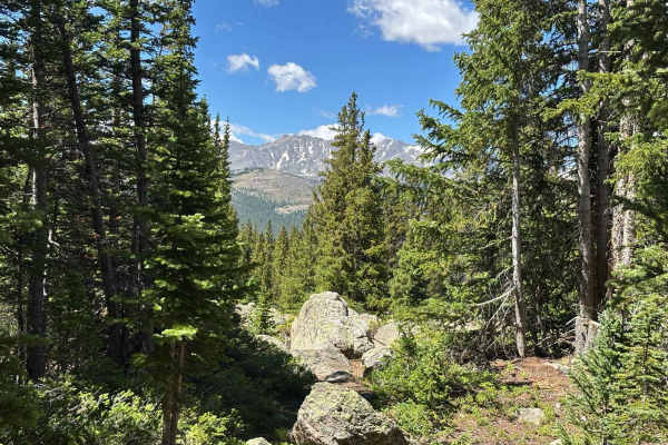
This route is approximately 1 vehicle-wide through most sections and travels across open sagebrush terrain before entering thicker pine forest. The road has a mostly smooth dirt and gravel surface with occasional potholes, shallow whoops, and scattered loose rocks, but there are no major obstacles along the way. Several dispersed camping areas can be found near the route before the surrounding vegetation becomes more heavily wooded. Once in the forest, the road narrows somewhat as trees and brush grow closer to the edges. The route also passes through areas of open terrain that provide views across the surrounding valley and mountains. You will eventually reach a gate with private property posted on both sides of the road. Please respect the landowners and remain on the designated route while traveling through this section.
Difficulty
The route is mostly smooth dirt and gravel with occasional loose rocks, shallow whoops, and potholes. There are no major obstacles or technical sections, although the road narrows somewhat through the wooded areas.
History
The mountains surrounding Turquoise Lake are closely connected to Leadville's mining and transportation history. Mining activity brought roads, trails, settlements, and transportation routes into the mountains west of Leadville during the late 1800s. The area around Hagerman Pass also became an important railroad corridor when the Colorado Midland constructed a route across the Continental Divide. Remnants of historic mining activity, old transportation corridors, structures, and other evidence of the area's early development can still be found throughout the surrounding mountains.