Trail Overview
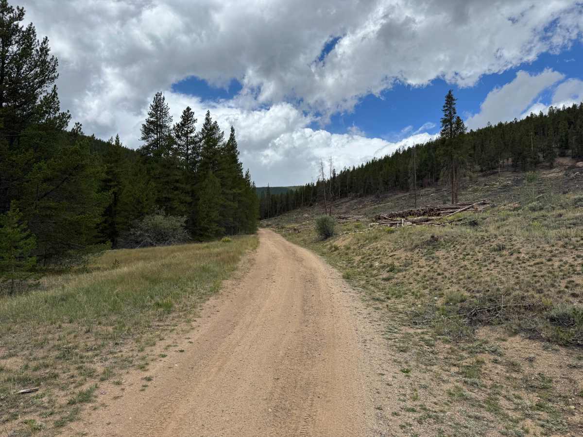
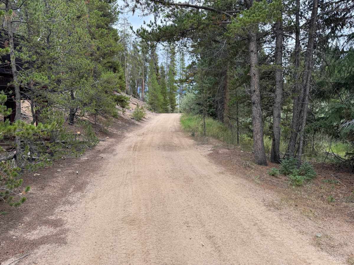
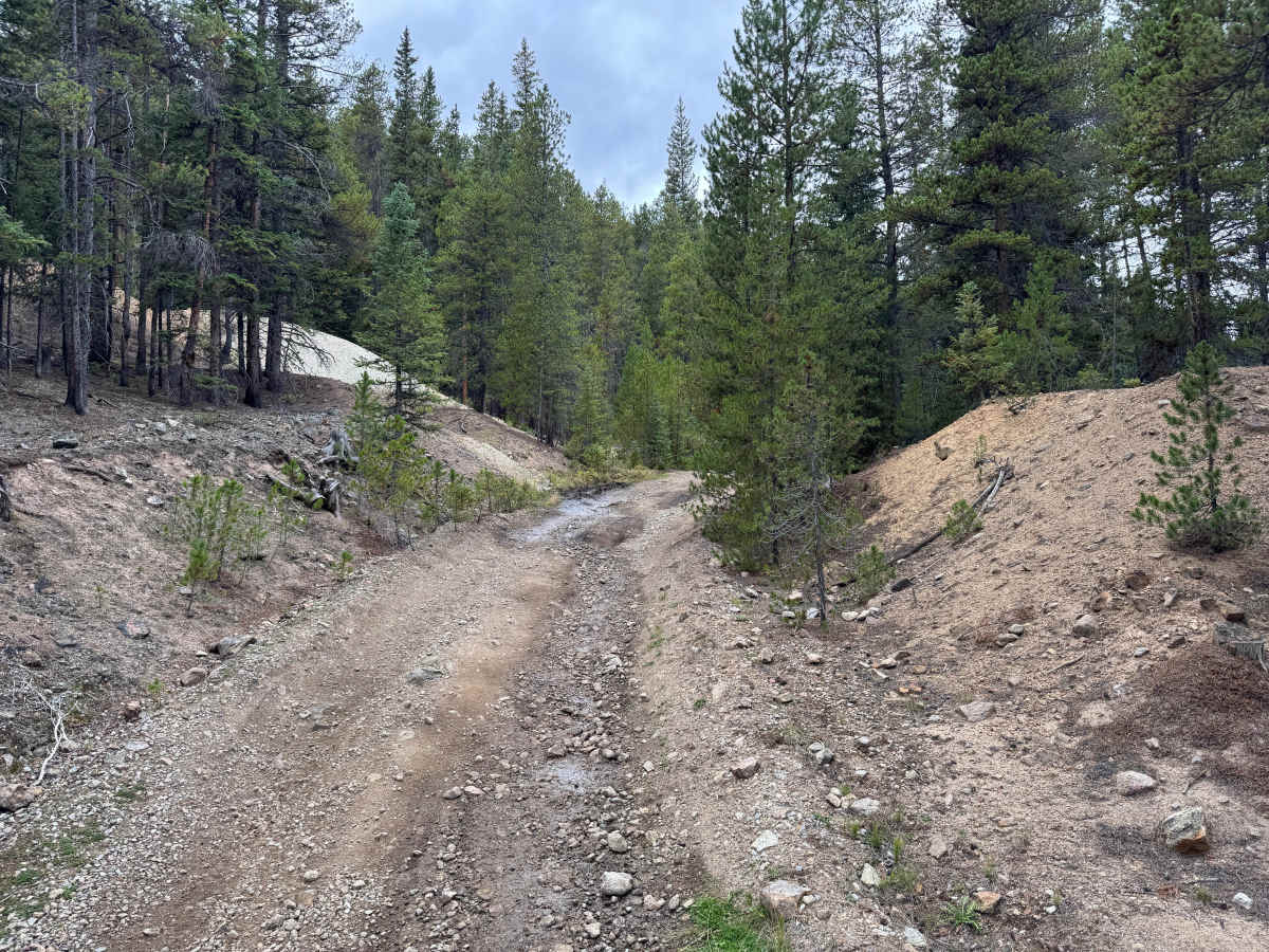
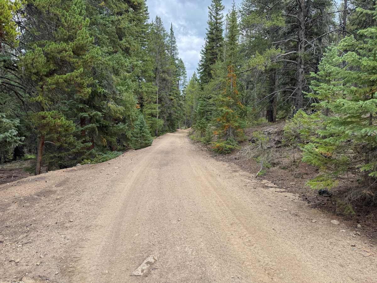
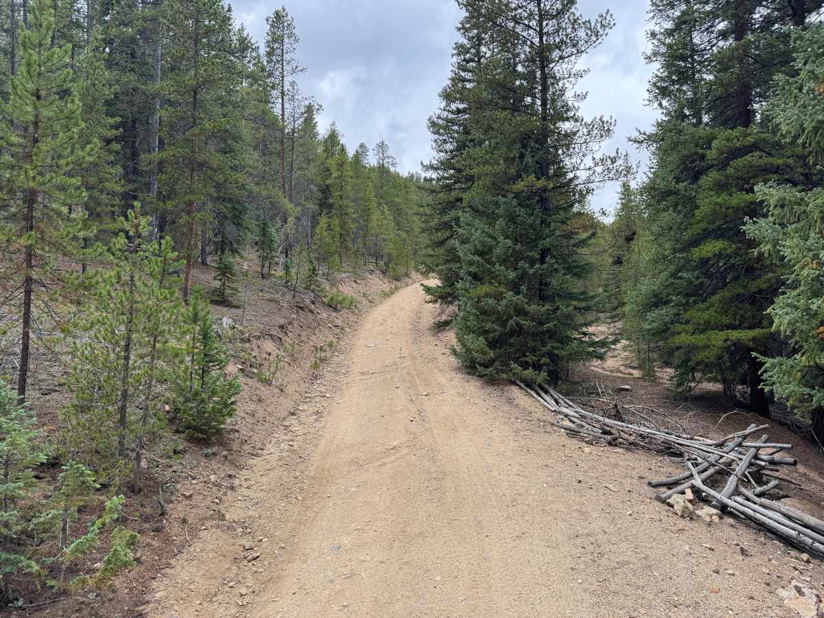
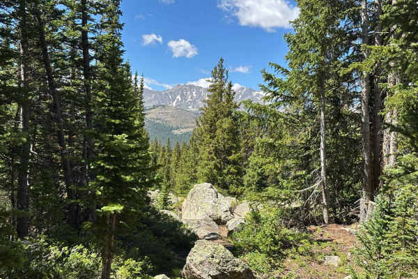
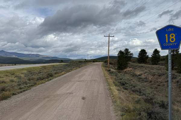
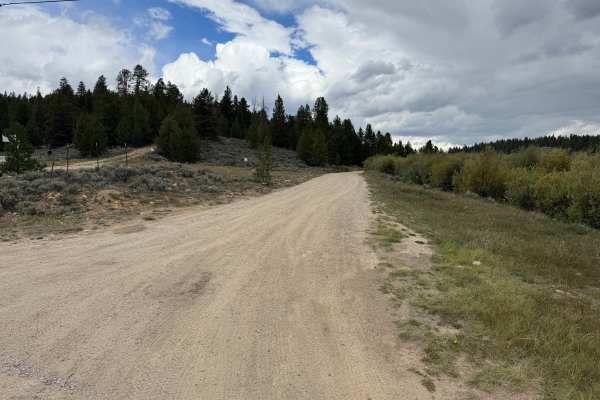
This route travels through the forested mountains near Turquoise Lake on a mostly dirt and gravel surface. The road is generally wide and well-maintained, with sections narrowing as it winds through dense pine and evergreen forest. The route travels through rolling mountain terrain with gradual climbs and descents but no major obstacles. Open hillsides occasionally break up the dense forest and provide views of the surrounding mountains. Remnants of the area’s historic mining activity can also be found along the route, including deteriorating wooden structures and old workings tucked into the trees.
Difficulty
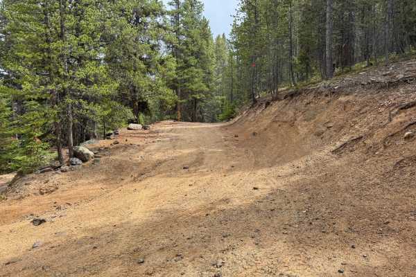
Mostly smooth dirt and gravel with scattered loose rocks, shallow ruts, minor erosion, and occasional rough sections. No major obstacles or technical sections.
History
The mountains surrounding Turquoise Lake are closely connected to Leadville's mining and transportation history. Mining activity brought roads, trails, settlements, and transportation routes into the mountains west of Leadville during the late 1800s. The area around Hagerman Pass also became an important railroad corridor when the Colorado Midland constructed a route across the Continental Divide. Remnants of historic mining activity, old transportation corridors, structures, and other evidence of the area's early development can still be found throughout the surrounding mountains.