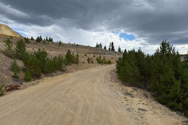
Trail Overview
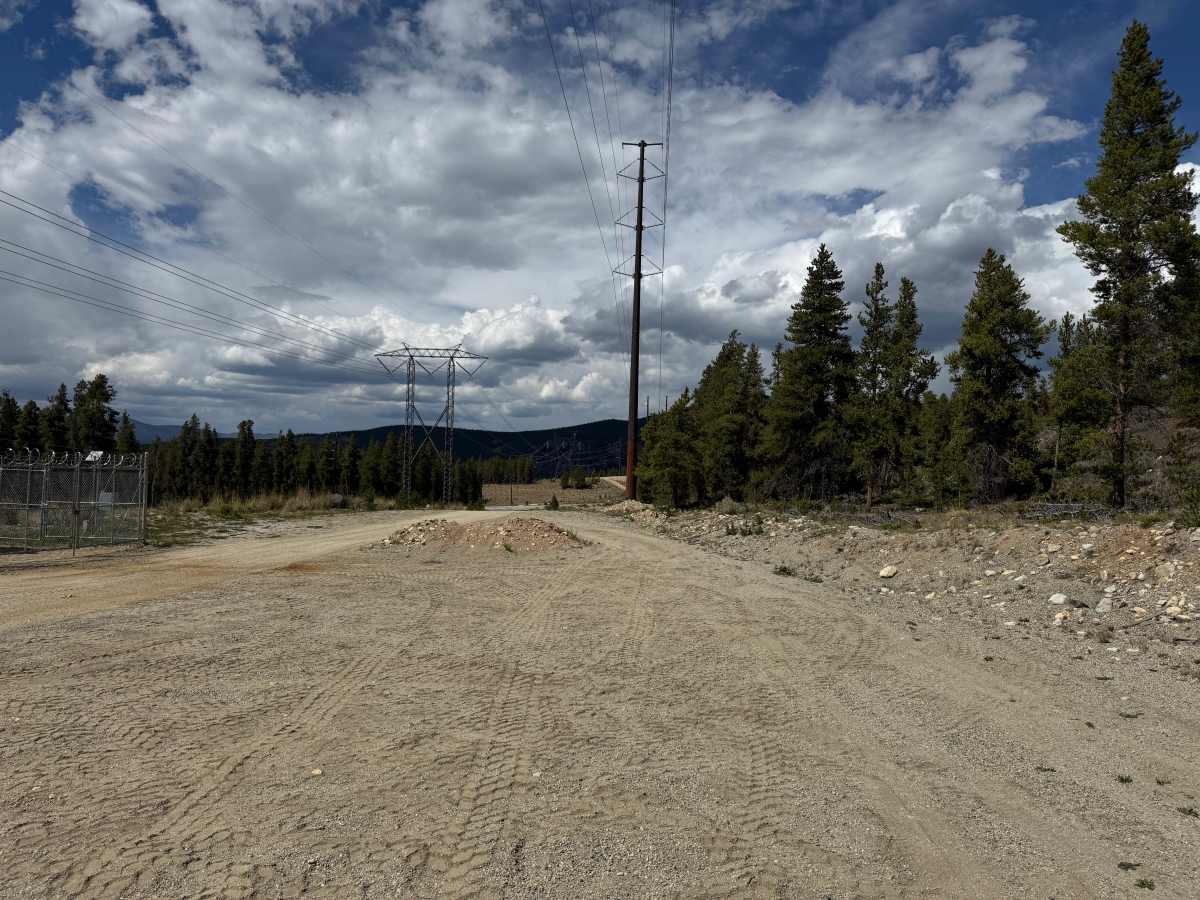
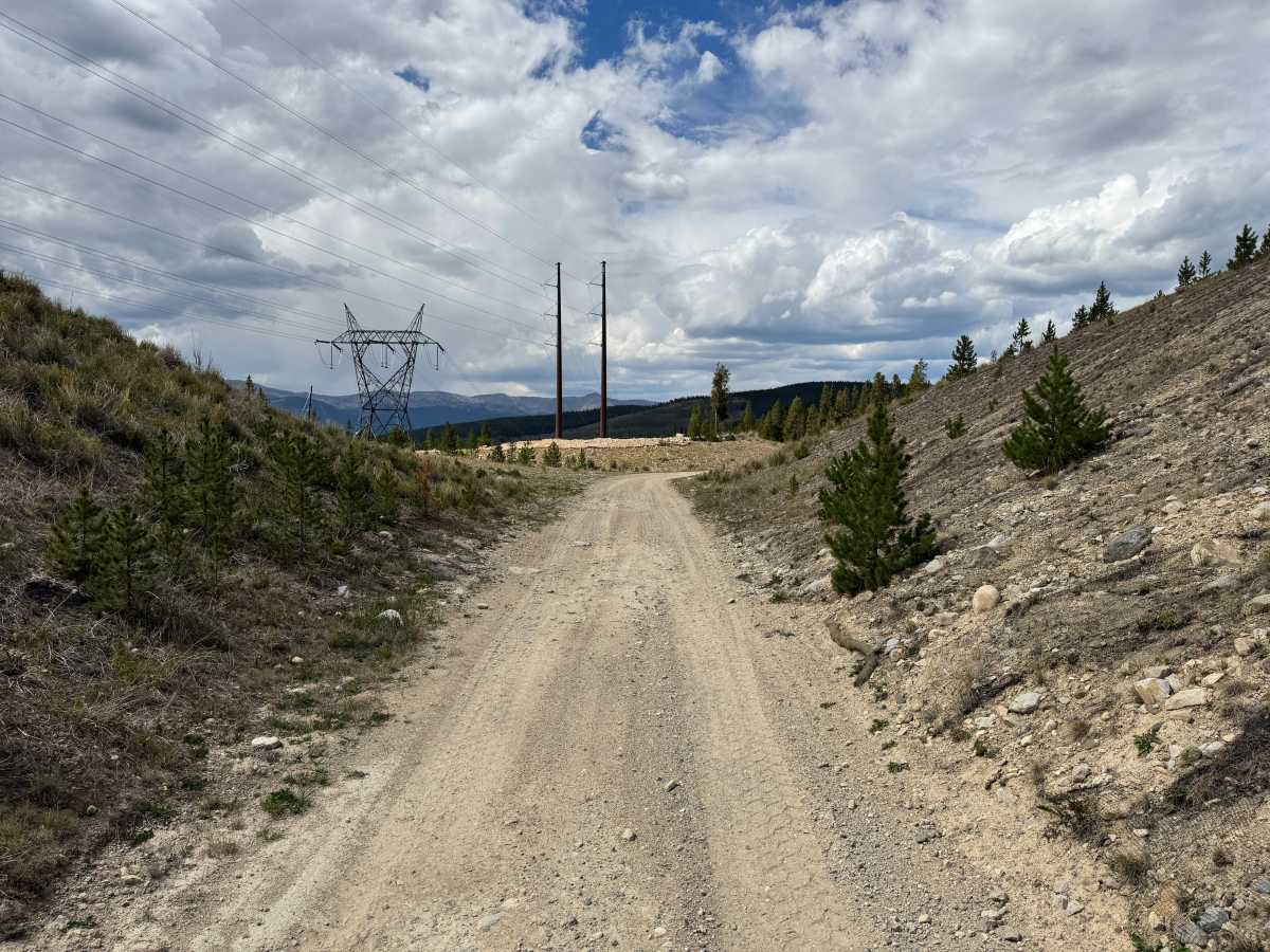
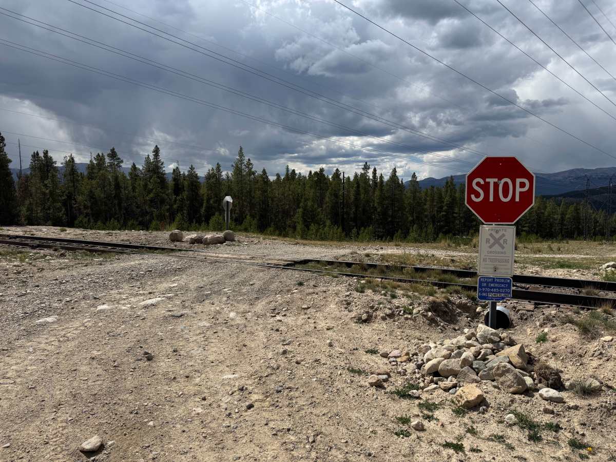
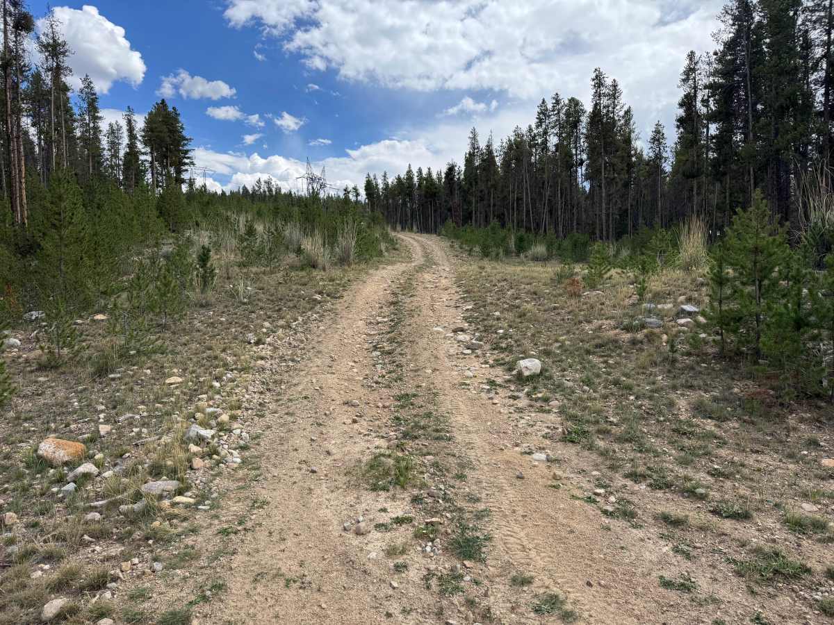
This route connects to Highway 91 before climbing uphill alongside the powerline corridor. The surrounding terrain transitions between open powerline clearings and forested areas with pine trees, young conifers, grasses, and low vegetation. The route also crosses the Leadville Southern Railroad tracks at a marked crossing. Use caution at the crossing; stop and look both directions for approaching trains before proceeding, as trains cannot stop quickly.
Difficulty
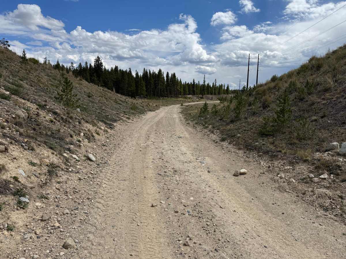
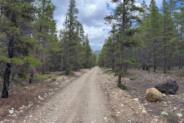
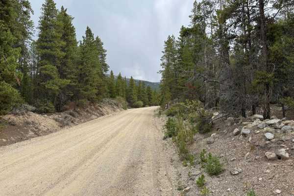
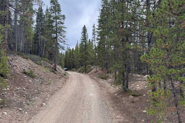
The trail consists primarily of dirt and loose gravel with scattered rocks up to approximately 6 inches tall, minor washouts, and some erosion. A somewhat steep grade adds to the difficulty, with a low range helpful for maintaining control while climbing or descending. Ground clearance is recommended for the rockier sections, but there are no major technical obstacles.
History
Leadville's surrounding mountains are heavily connected to Colorado's mining history. Mining booms beginning in the 1860s transformed the area, with gold, silver, lead, zinc, molybdenum, and other minerals driving development over different periods. Many roads and routes throughout the mountains originated as access to mines, claims, settlements, and other industrial sites. Remnants of this history can still be found throughout the area, including mine workings, foundations, structures, and old transportation corridors. Leadville was also once home to the Unsinkable Molly Brown, who lived in the city during its mining boom and met and married J.J. Brown there. Doc Holliday also called Leadville home during the 1880s, spending time in the city's saloons and gambling halls during one of its most colorful periods. Leadville itself is recognized as a National Historic Landmark District.