Trail Overview
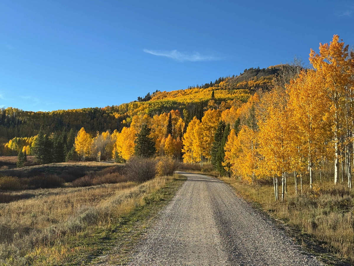
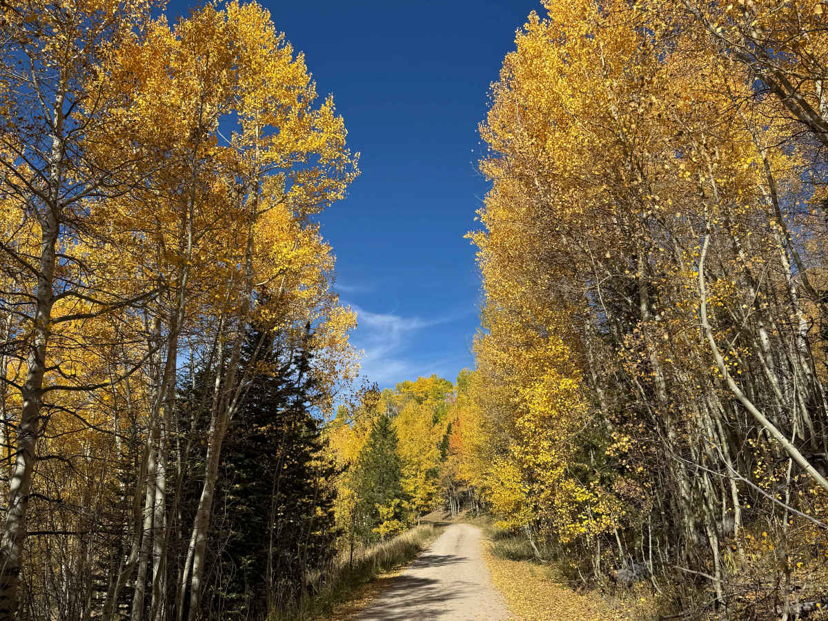
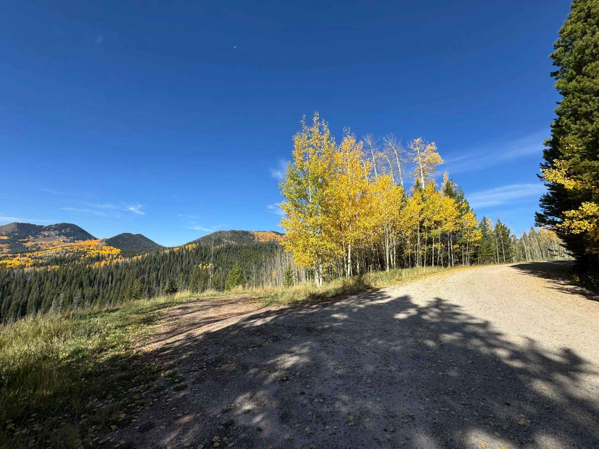
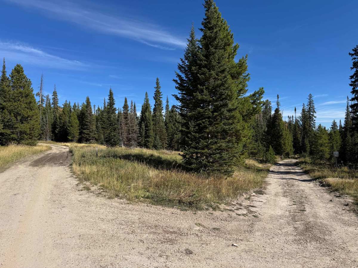
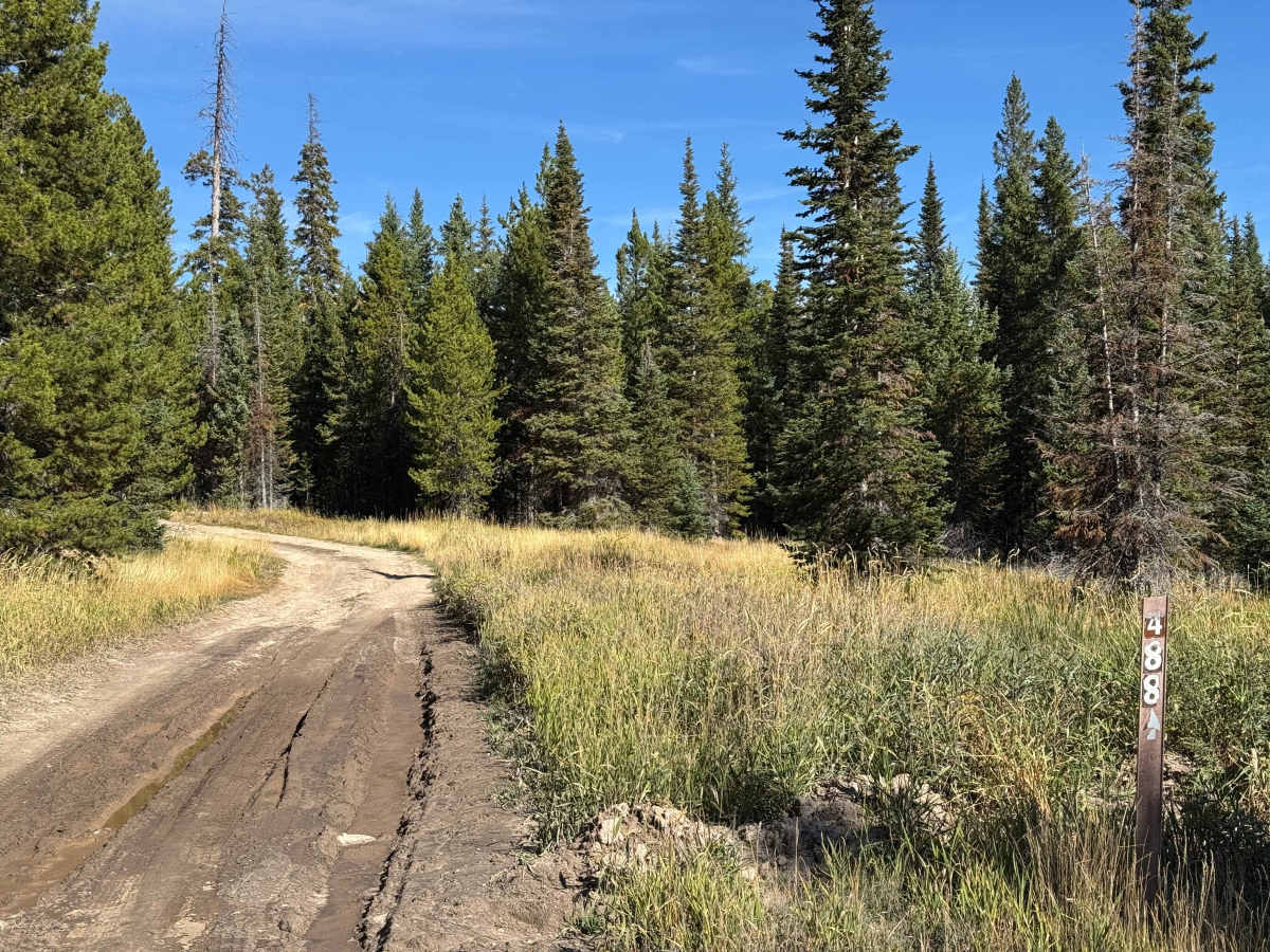
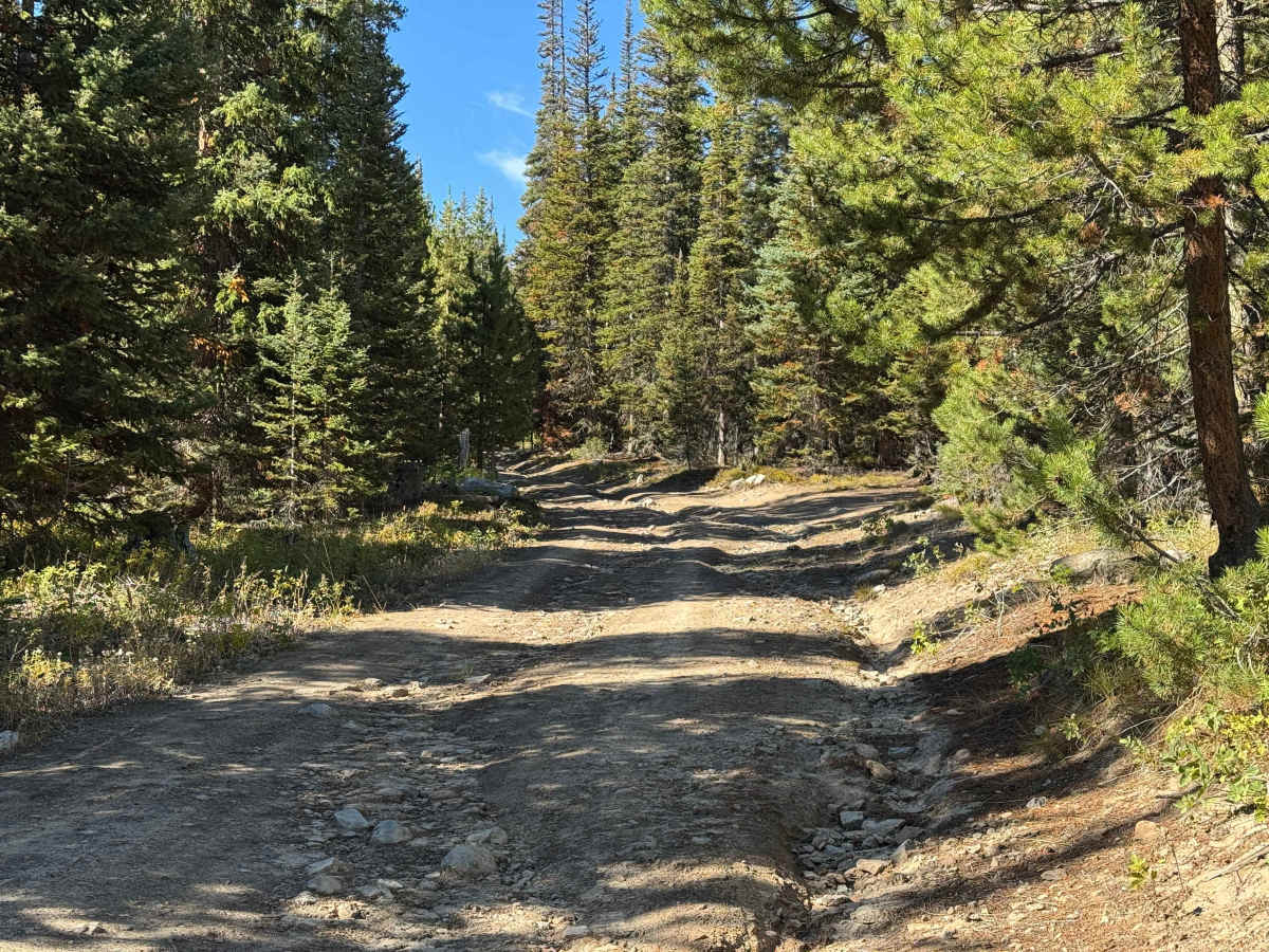
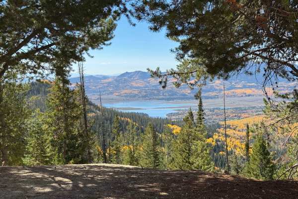
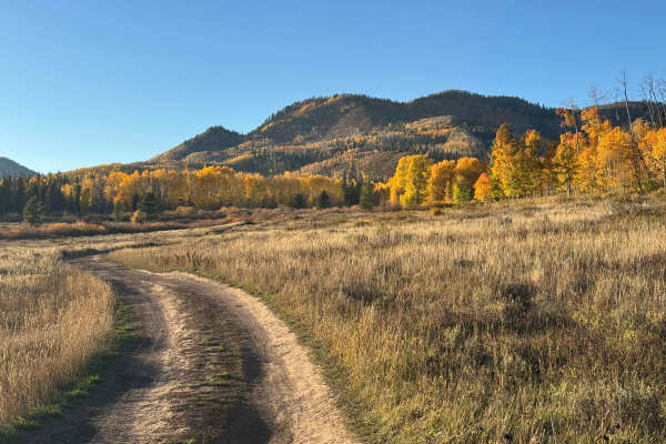
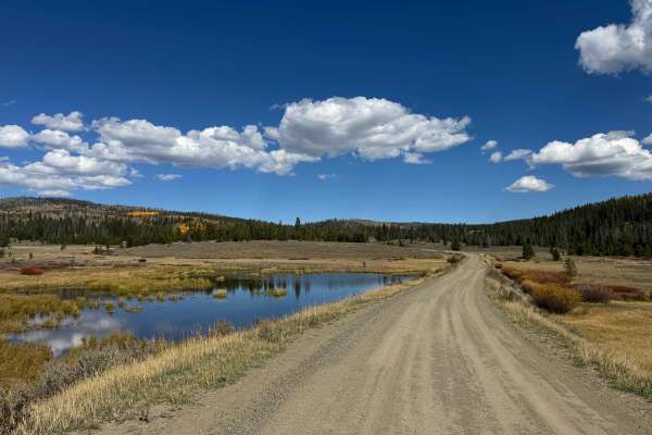
Once you turn off the paved road onto this trail, you’ll begin on a well-maintained gravel road that gradually transitions to dirt as you climb. Mapped in the fall, the route is especially scenic, with beautiful views of the changing foliage throughout the drive. Along the initial section, you’ll pass five or six excellent vehicle-accessible campsites before the road becomes steeper and develops more pronounced ruts. After passing Smith Creek Road, the trail changes significantly from an easy route suitable for virtually any vehicle, with or without 4WD, to a Level 3 route featuring deeper ruts, exposed rocks, and increasingly challenging terrain. The trail continues to become progressively steeper and more technical, but well before reaching the end, several large deadfall trees currently block the route, preventing further vehicle travel.
Difficulty
The first half of this route is well-maintained and relatively easy for any vehicle. Continuing past Smith Road, the trail becomes narrower and increases to a Level 3 rating, with sections featuring ruts more than a foot deep, some of which may be filled with water and mud. The trail continues to become progressively steeper and more challenging as you climb, with additional obstacles along the way. However, unless you are traveling with a crew equipped with chainsaws to clear the numerous large deadfall trees, vehicle travel is unlikely to continue much beyond the point where this route is currently marked.
History
The history of trails in this area goes back well before modern Forest Service roads. Early transportation routes often followed Native American and wildlife corridors, natural passes, and the easiest terrain through the mountains. As mining, ranching, and settlement expanded during the late 1800s and early 1900s, these paths developed into wagon roads, freight routes, and livestock trails. The Lamb Trail near Steamboat was used to move sheep toward market, while the Wyoming Trail served ranching and sheep-driving operations between Wyoming and the Yampa Valley. The arrival of the railroad in 1909–1912 greatly expanded access and helped drive the development of mining, ranching, and tourism. The Routt National Forest itself was established as the Park Range Forest Reserve in 1905 and renamed the Routt National Forest in 1908. Many of today’s roads and trails are essentially modern versions of these historic transportation corridors.


 Offroad