Trail Overview
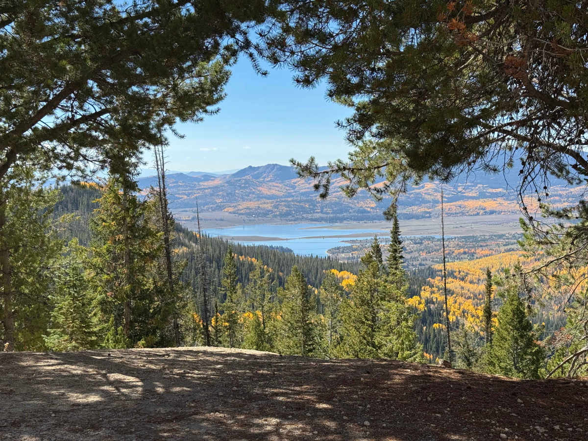
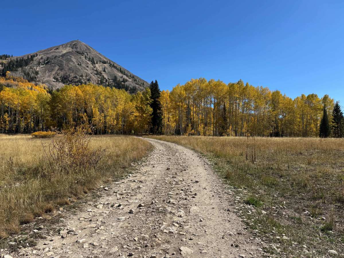
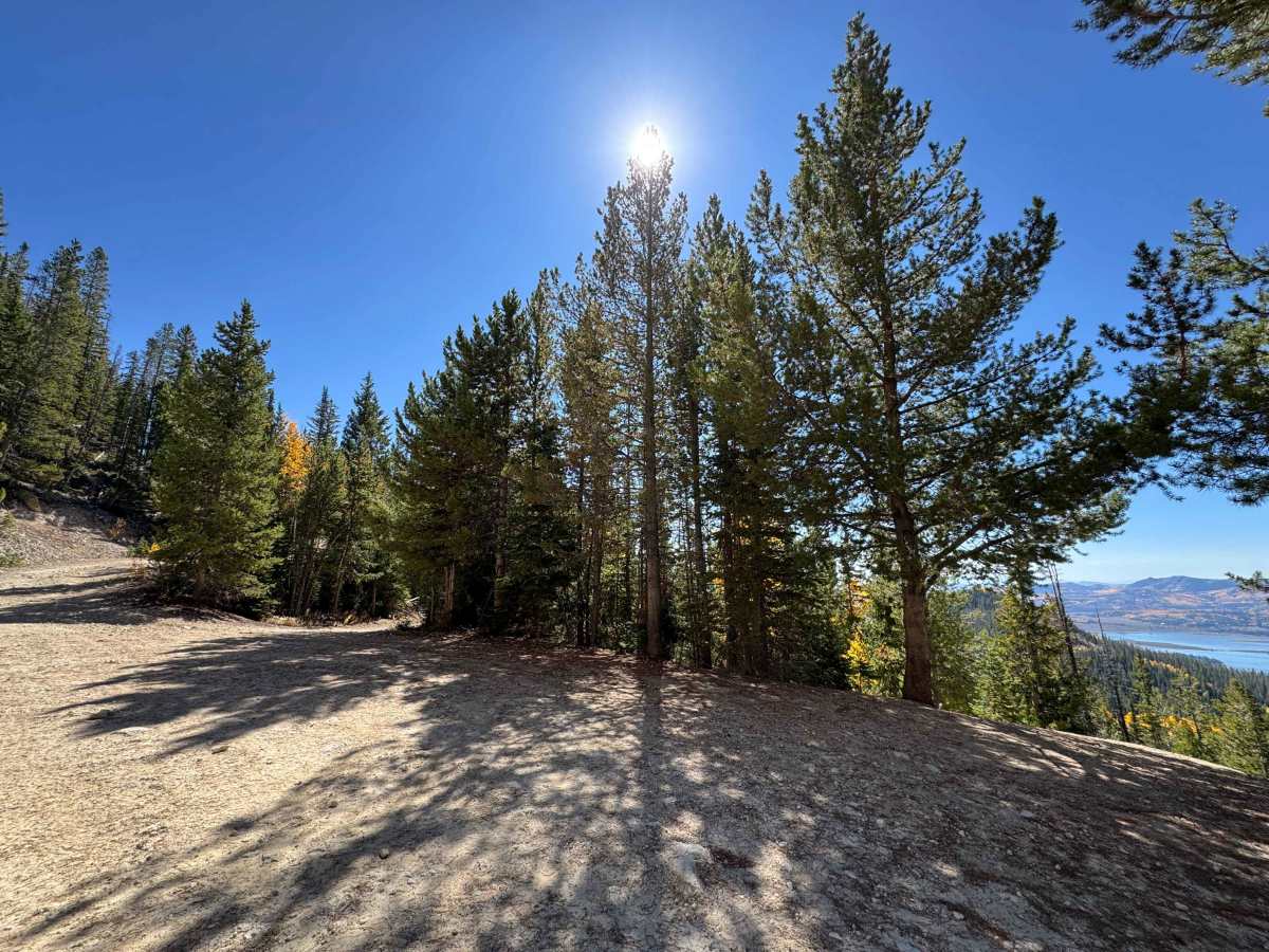
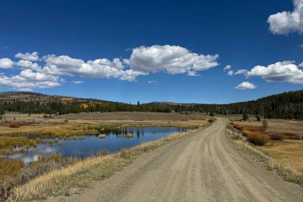
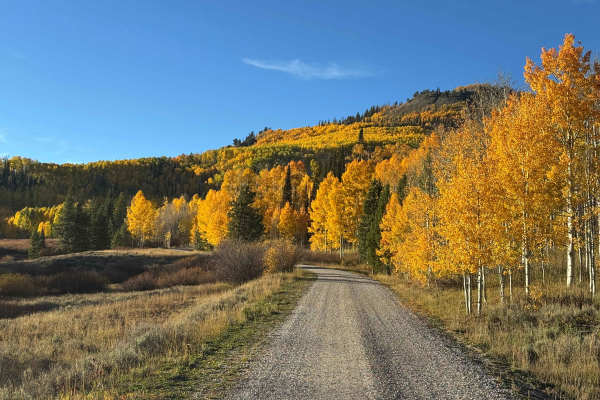
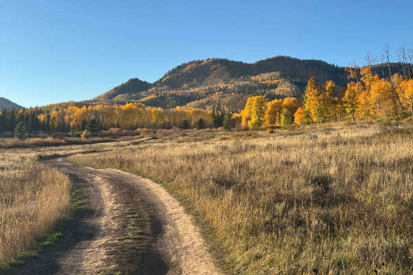
Leaving the highway, this route begins on a relatively narrow road marked with signs warning of rough and narrow conditions ahead. Despite the warning, the first mile or so is accessible to larger vehicles, including big rigs, although drivers should expect some potholes and a few chunky sections of uneven terrain. Farther along, the route crosses a sizable water crossing that is typically less than a foot deep, depending on recent weather. Beyond the crossing, the road opens into a large scenic meadow before beginning a gradual climb toward the midsection of Hahns Peak. The route alternates between rocky stretches and smoother sections as it winds through the high country. Views of the surrounding mountains are spectacular, and wildlife encounters are common, with deer, elk, and other species frequently seen along the road. Sage grouse are also particularly common in this area and can often be spotted along the route. After skirting around Hahns Peak the trail ends where it connects with Twin Saddle Road.
Difficulty
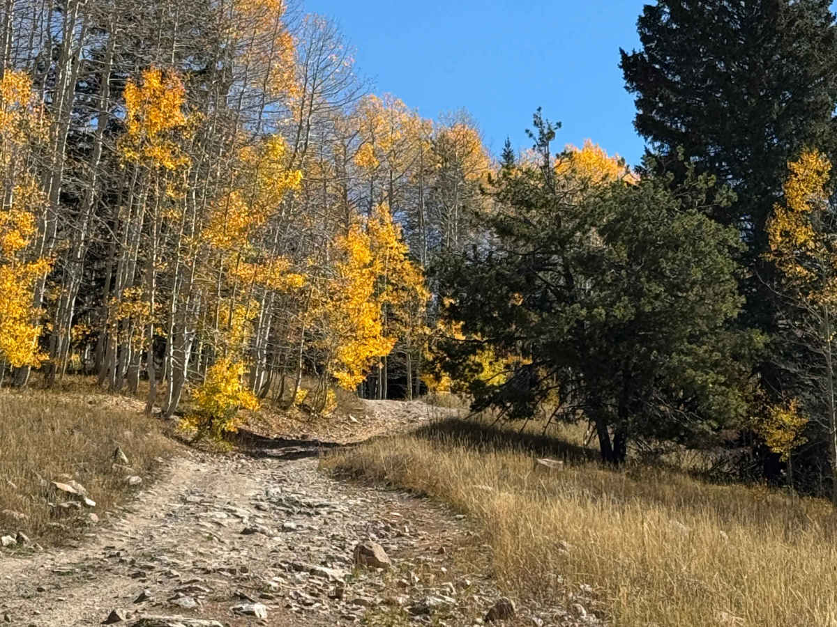
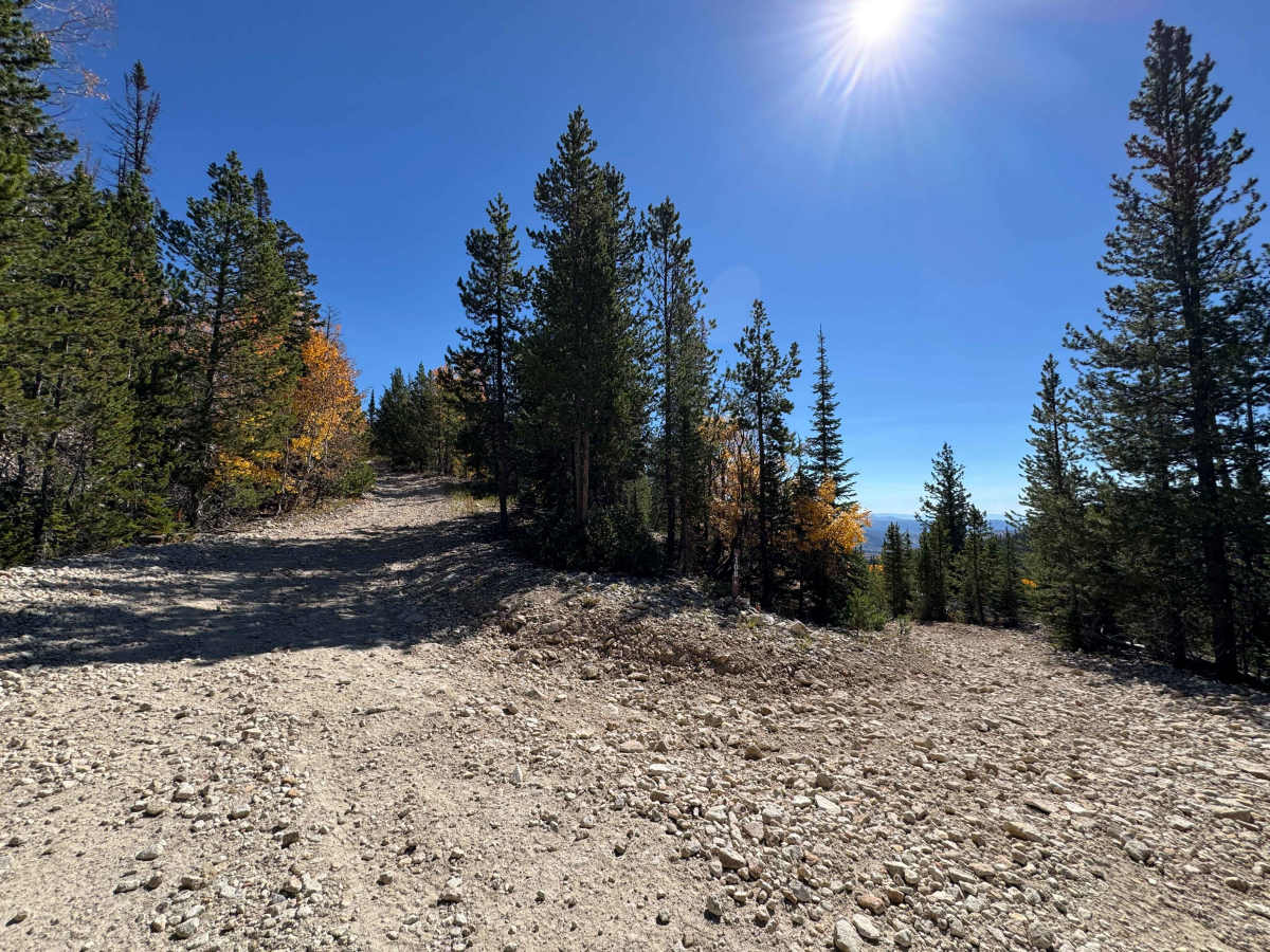
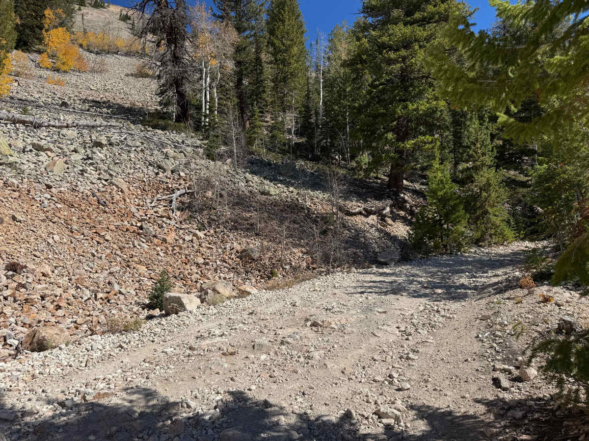
In dry conditions, this is not an especially difficult route, but drivers should still use caution and pay close attention to wheel placement. Several sections contain embedded rocks, some of which have sharp edges that can create clearance or tire hazards. The climbs are generally firm with good traction and are not particularly loose through most of the route. As you approach the upper portion of the trail and the endpoint, however, the surface becomes noticeably looser, requiring more careful throttle control and line selection, especially on the steeper sections.
History
The history of trails in this area goes back well before modern Forest Service roads. Early transportation routes often followed Native American and wildlife corridors, natural passes and the easiest terrain through the mountains. As mining, ranching and settlement expanded during the late 1800s and early 1900s, these paths developed into wagon roads, freight routes and livestock trails. The Lamb Trail near Steamboat was used to move sheep toward market, while the Wyoming Trail served ranching and sheep-driving operations between Wyoming and the Yampa Valley. The arrival of the railroad in 1909–1912 greatly expanded access and helped drive the development of mining, ranching and tourism. The Routt National Forest itself was established as the Park Range Forest Reserve in 1905 and renamed the Routt National Forest in 1908. Many of today’s roads and trails are essentially modern versions of these historic transportation corridors.