Trail Overview
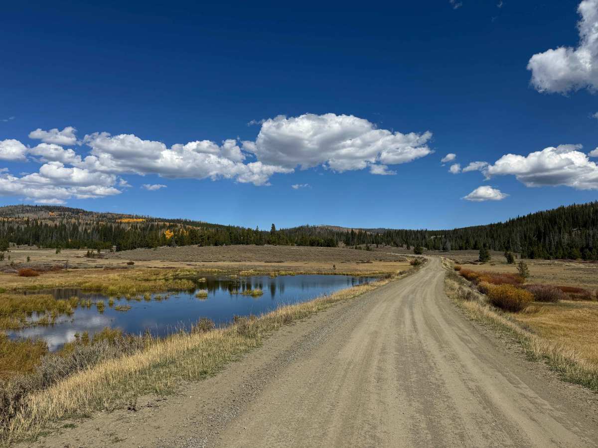
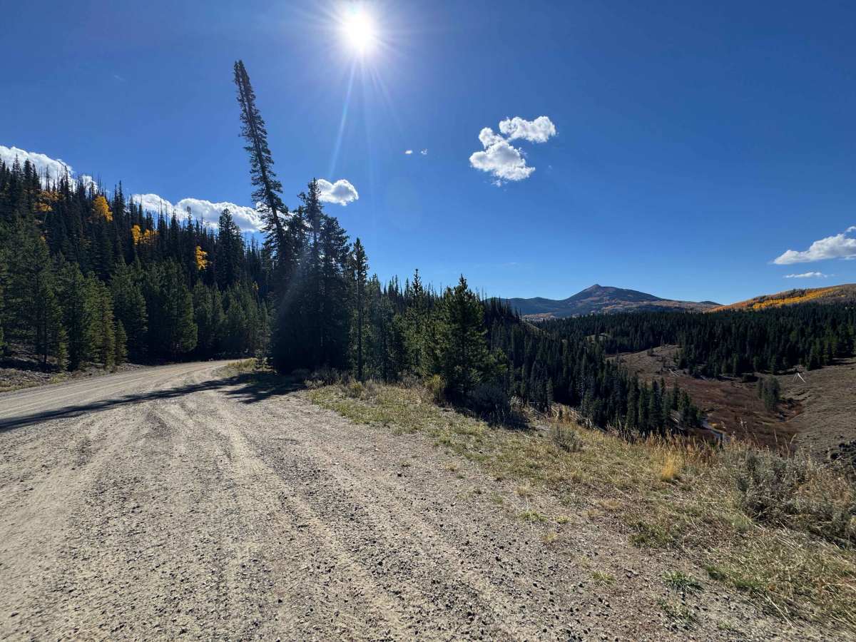
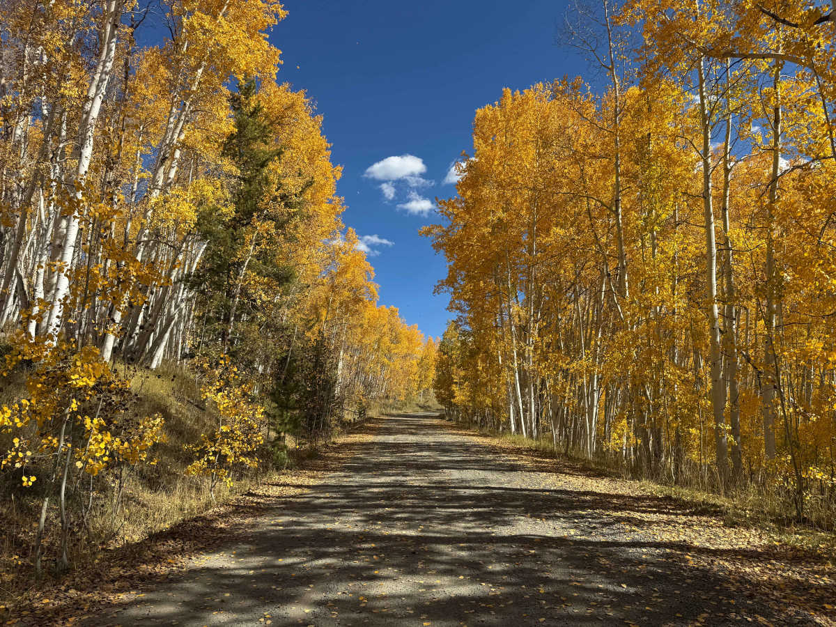
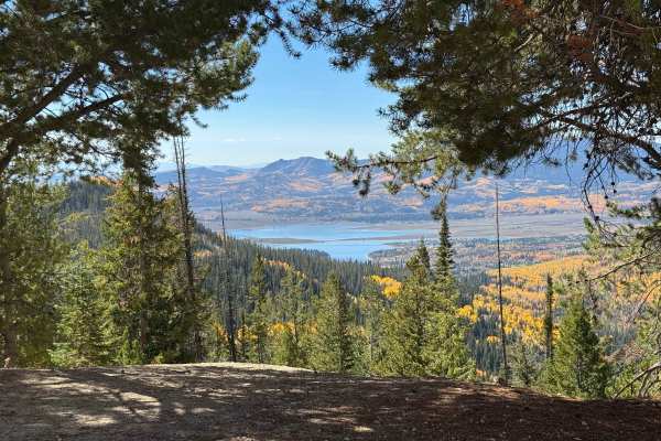
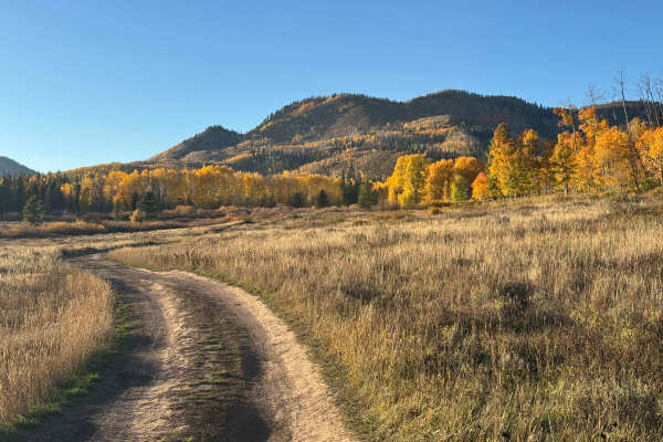
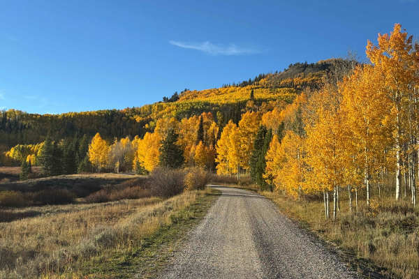
This very popular route begins near the point where the pavement ends. USFS 550 is a well-maintained Forest Service road that travels through some of the most scenic mountain terrain in the area. After passing the large park area, the route winds through a combination of gravel and dirt, eventually reaching the Colorado-Wyoming border. During the winter months, this section is groomed for snowmobiling, while warmer weather opens access to roughly 20 additional trails and routes branching off along the way. The drive offers beautiful mountain scenery, numerous opportunities for wildlife viewing, and several places to fish, including Whiskey Creek and other nearby waterways. There are also several excellent dispersed campsites, some equipped with fire rings and a few with toilets. Mapping ends at the Colorado-Wyoming border, but travelers can continue into Wyoming to explore the extensive network of roads and trails beyond.
Difficulty
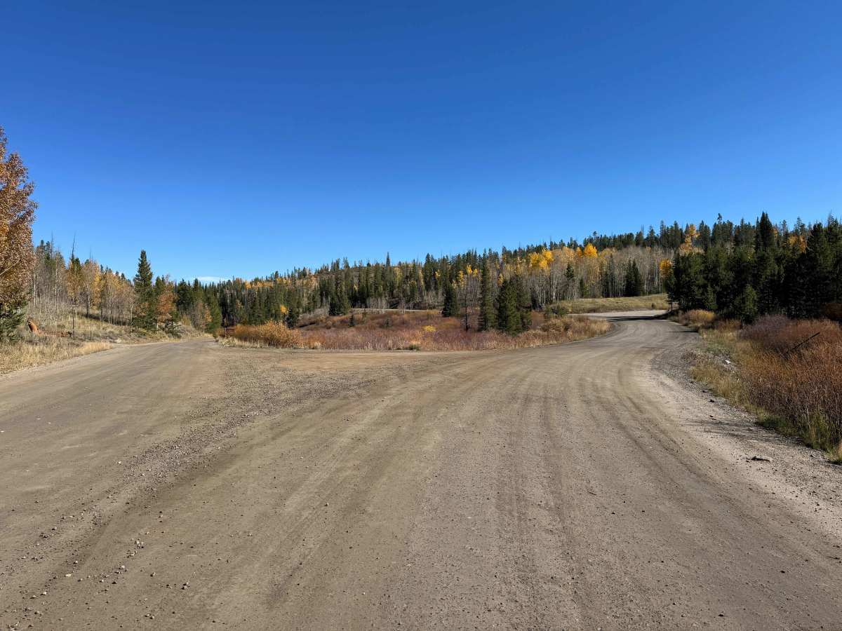
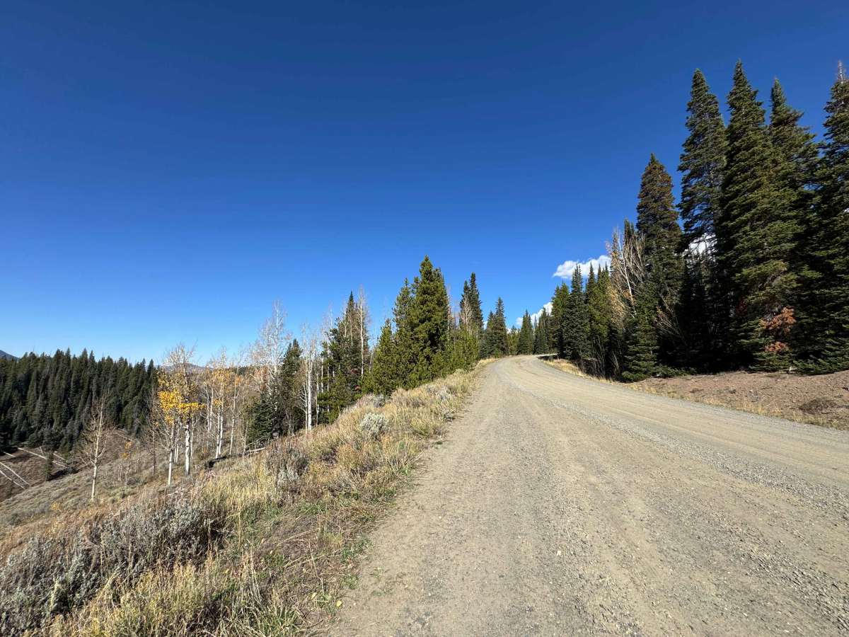
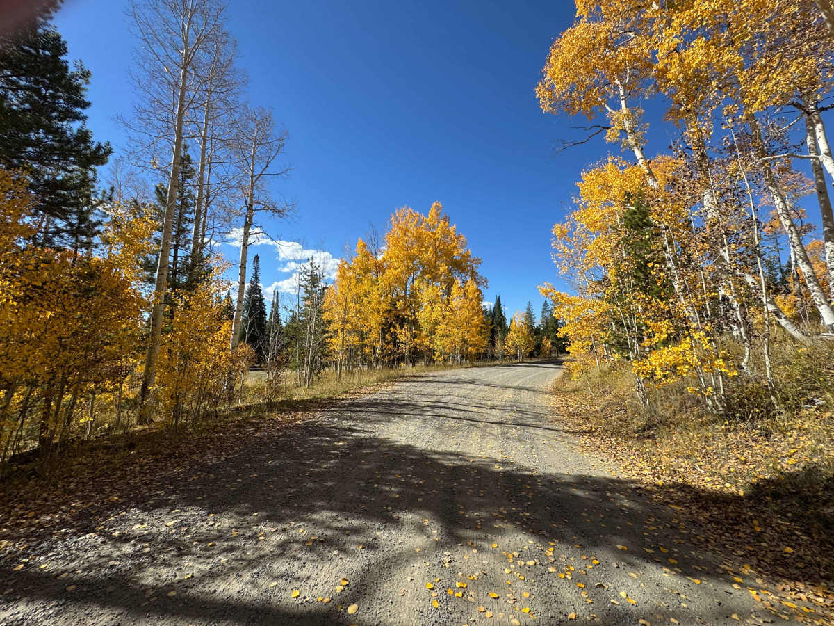
This is an easy, well-maintained road that is suitable for nearly any vehicle under dry conditions. The road surface is generally smooth and predictable, with few obstacles or challenging sections along the route. Of the roads in this area, this is by far one of the best-maintained, making it a good choice for drivers looking for a straightforward and enjoyable route through the mountains. Conditions can change with weather, so expect the possibility of mud, standing water, or other challenges following periods of rain or snow.
History
The area north of Hahns Peak has a history closely tied to the late-19th-century mining boom in the region. Gold and silver discoveries around Hahns Peak brought prospectors, miners, merchants, and settlers into the remote mountains, with nearby communities such as Columbine developing to support the mining population. Columbine was established in 1881 and served as a supply center for miners working around Hahns Peak. As mining declined, the region gradually shifted toward ranching, timber, recreation, and Forest Service management. Evidence of the area’s early settlement remains today, including the historic Hahns Peak Schoolhouse, built in 1911 and used until the 1960s.