Trail Overview
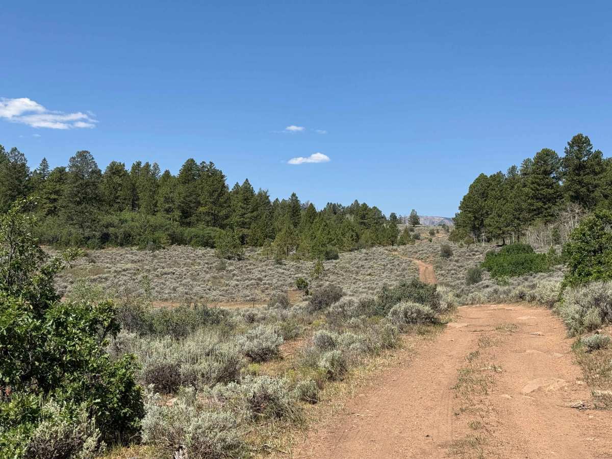
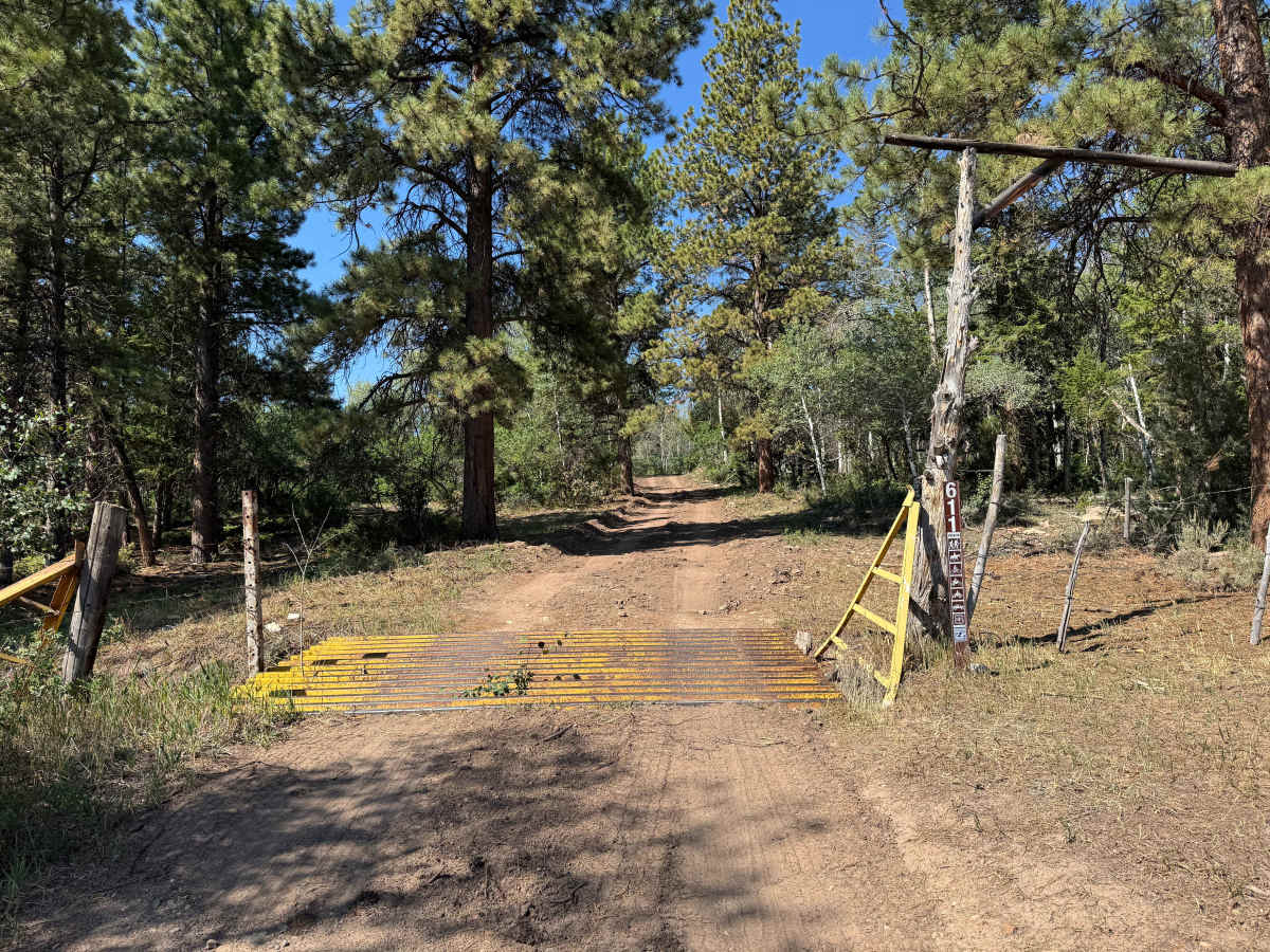
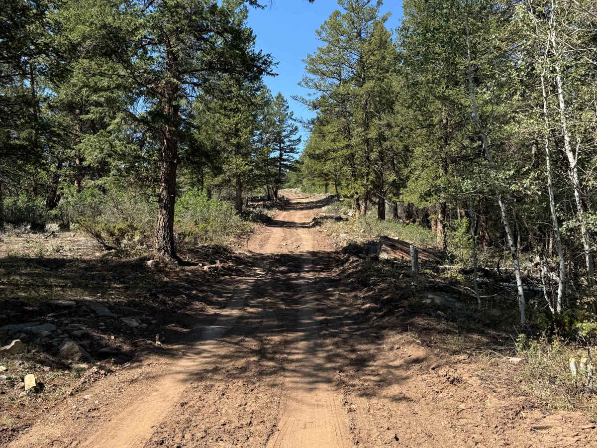
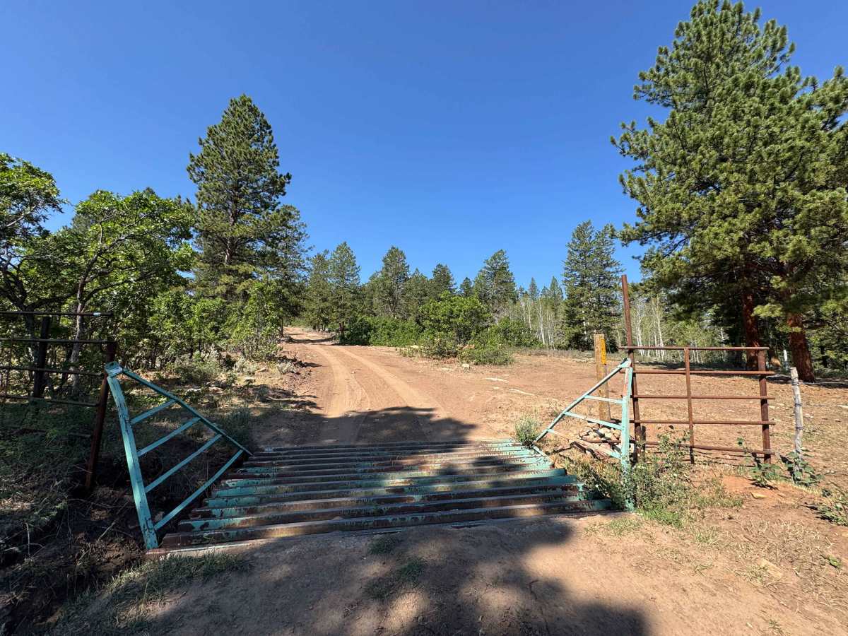
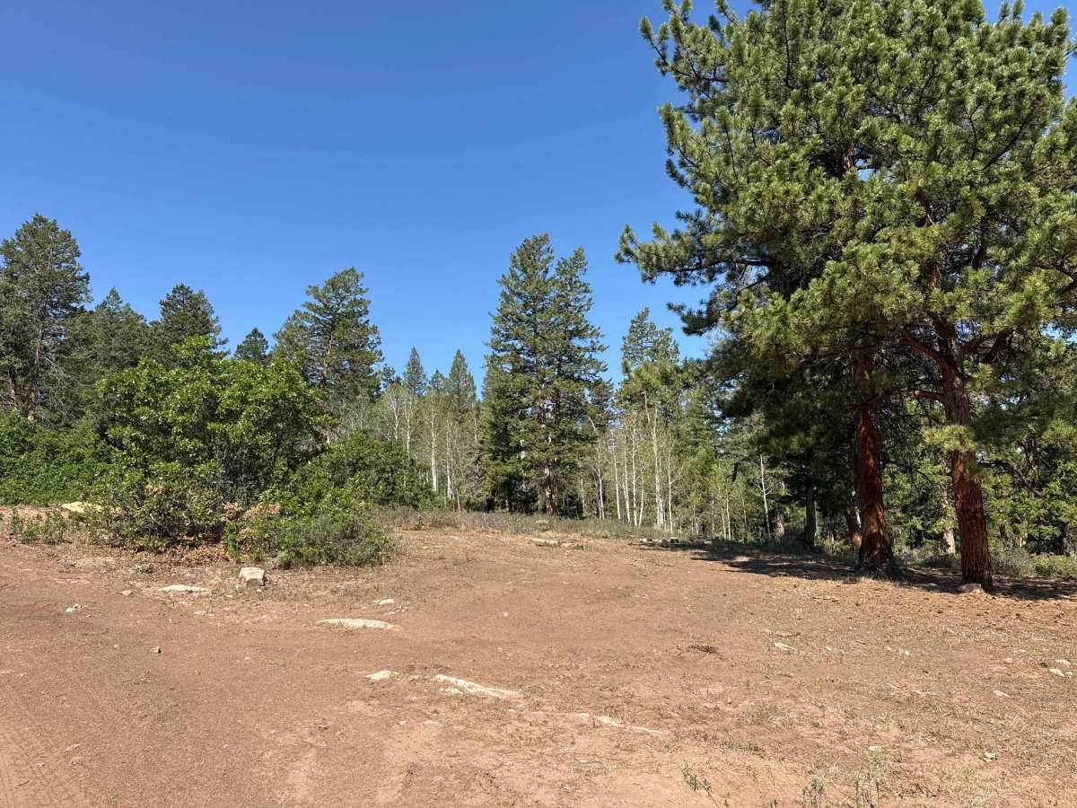
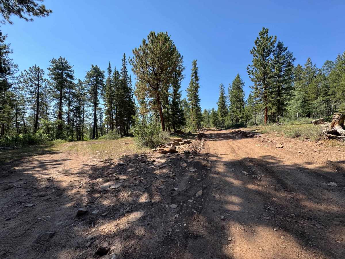
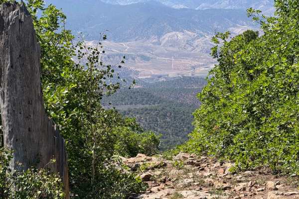
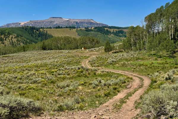
This scenic USFS trail winds through a beautiful pine forest and offers several excellent dispersed campsites, making it an ideal destination for a relaxing day trip or overnight stay. The first mile has recently been widened and improved by heavy equipment, leaving the surface rough and chunky despite the increased width. Beyond the work area, the trail becomes smoother and more enjoyable as it continues through the forest, passing several spur routes along the way. The out-and-back journey ends at a locked gate marking the boundary of a designated wilderness area, where motorized travel ends and the trail continues only for hikers and horseback riders.
Difficulty
This trail is not particularly difficult in dry conditions and is suitable for most vehicles with good ground clearance. However, after rain or during wet conditions, the trail can become significantly more challenging, and 4WD is strongly recommended to maintain traction and safely navigate muddy or slippery sections.
History
The Derby Creek area has a rich history rooted in ranching, transportation, and public lands. Long before European settlement, the valley was traveled seasonally by the Ute people, who hunted and camped throughout the region. By the late 1800s, ranchers established cattle operations along Derby Creek, using its dependable water supply to support livestock and irrigate nearby hay fields. Many of today’s BLM and Forest Service roads began as wagon routes connecting ranches and summer grazing allotments. Today, the area remains valued for its scenic landscapes, abundant wildlife, and outstanding opportunities for off-road recreation, camping, and hunting. (dnrweblink.state.co.us)