South Derby Creek

Total Miles11.7
Technical Rating
8Difficult
Best TimeSummer, Fall
Trail TypeHigh-Clearance 4x4 Trail
Accessible By
Open Trail Map

Trail Overview

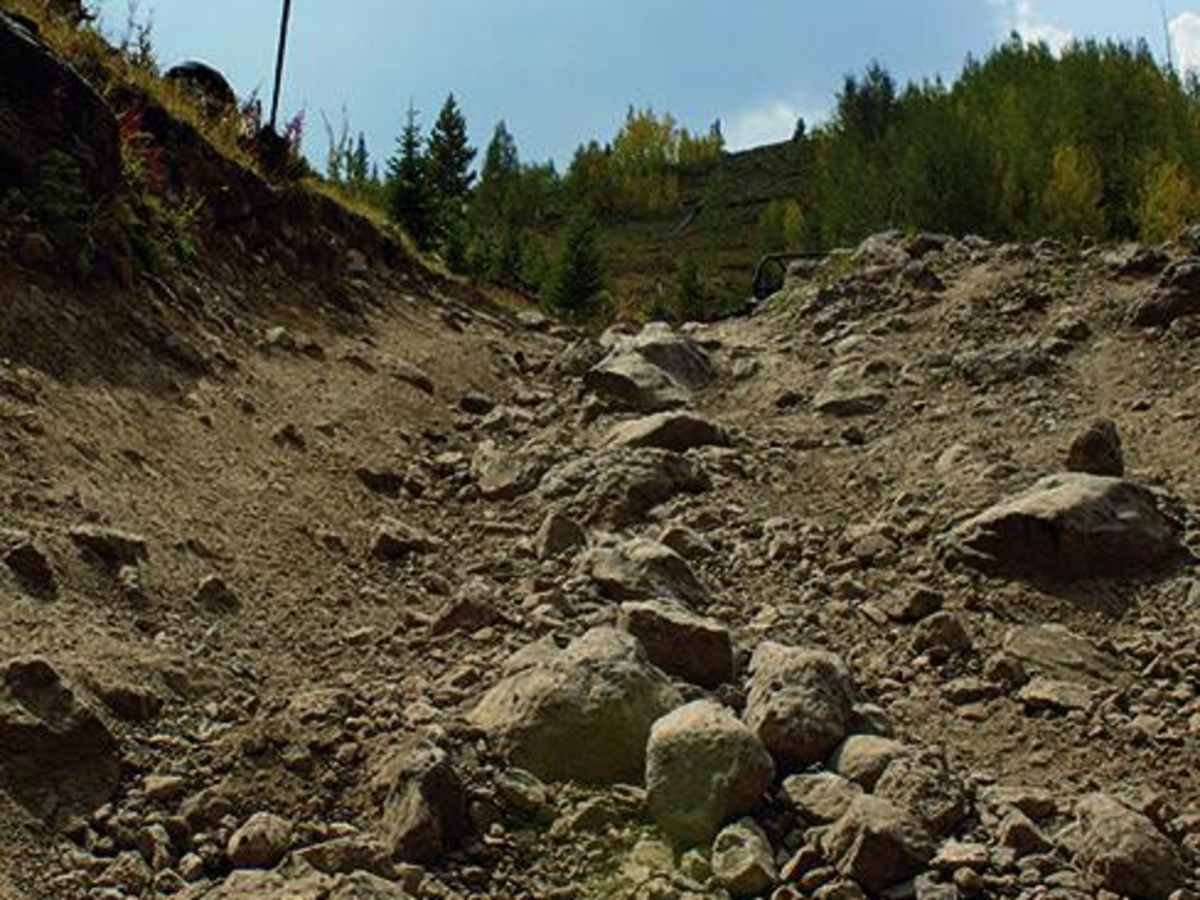
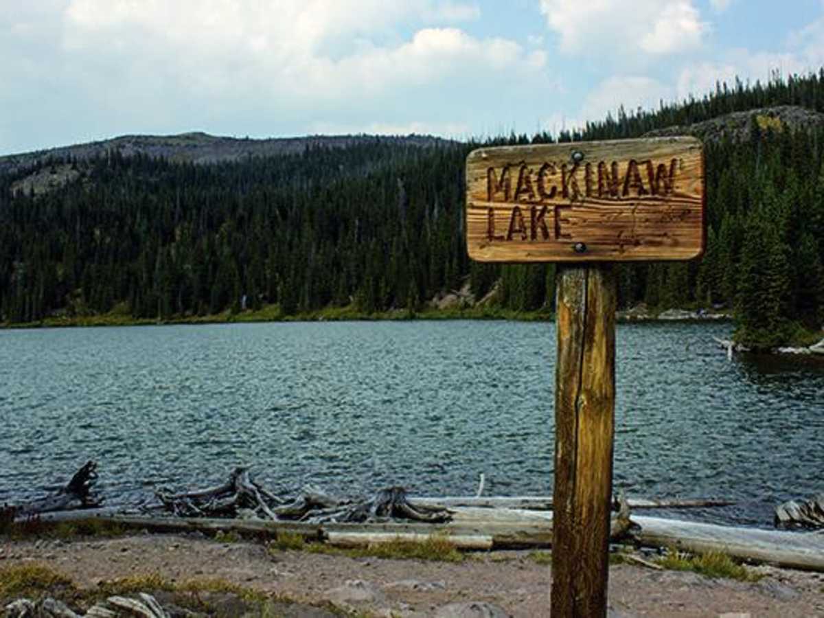
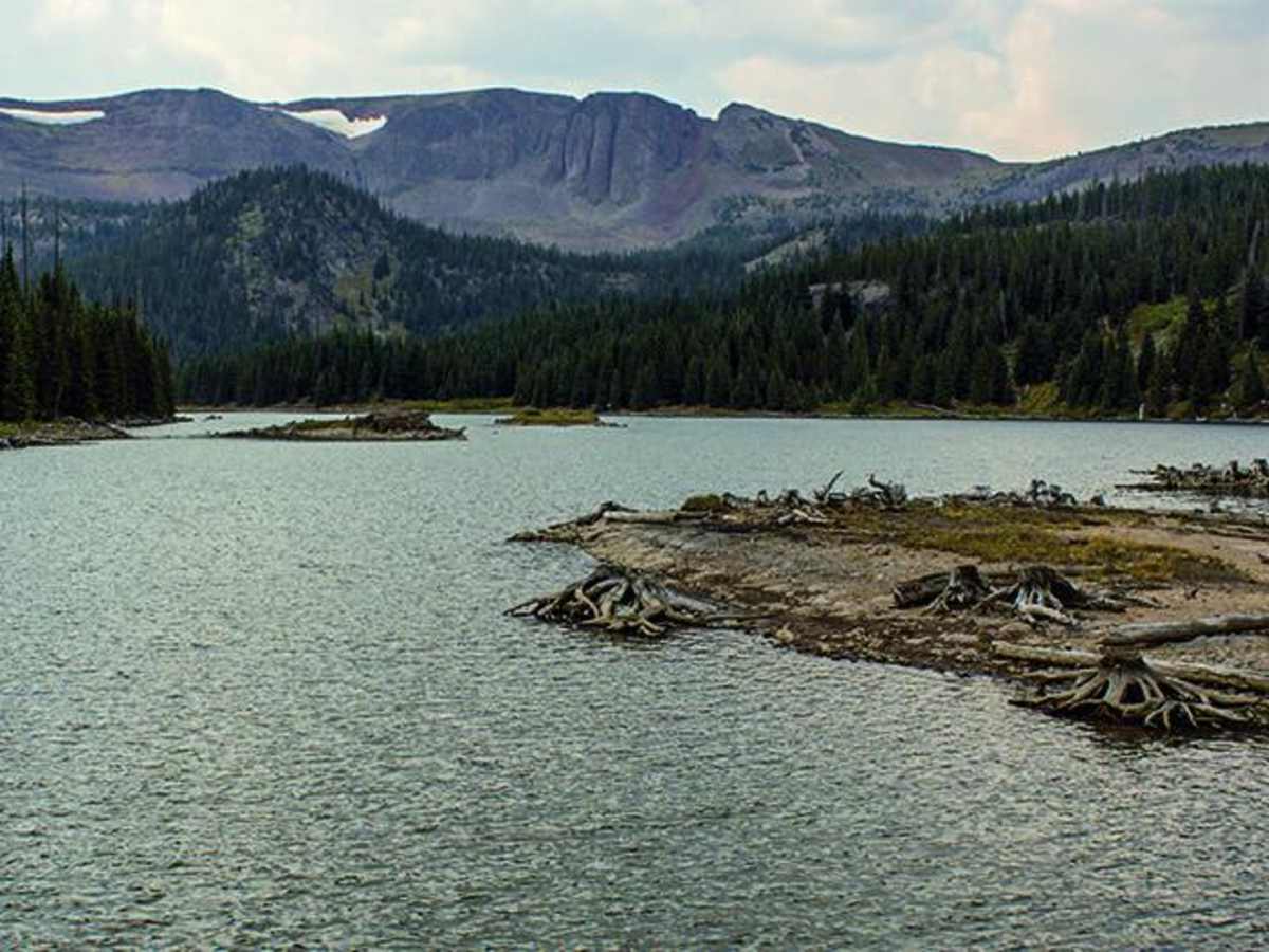
South Derby Creek is a challenging, high-clearance adventure designed for experienced drivers seeking a rugged, slow-going trek up to stunning mountain lakes and panoramic views. Stretching approximately 11.7 miles, this route climbs steadily from 8,261 feet to a peak elevation of 10,814 feet, gaining over 3,300 feet of elevation along its relentless, bumpy path. The journey kicks off with a busier section near the trailhead that quickly thins out as the trail ascends deeper into the backcountry, making it an excellent multi-day destination for dispersed camping and alpine exploration. Drivers will need a capable, high-clearance four-wheel-drive vehicle or robust SxSs to handle the demanding terrain, as stock or oversized vehicles are highly discouraged due to the tight and technical nature of the path. With a technical rating of 8, this route demands careful wheel placement to overcome steep rock ledges, loose rocky climbs, and deep mud holes that become especially prevalent after the second waypoint. The primary surface is extremely uneven unpaved dirt and rock, transforming into a treacherous, slick, and impassable hazard during wet weather with slippery, side-hill sections that can slide vehicles off-track. Seasonality is a major factor here, with the trail typically opening in mid-May and closing by mid-November depending on high-altitude snowpack. To access the trailhead, travelers take Interstate 70 to Dotsero at Exit 133, head north on Colorado River Road for 21.7 miles to Burns, turn left on County Road 39 for 6.5 miles, and then make a left onto South Derby Road.

Photos of South Derby Creek

Difficulty

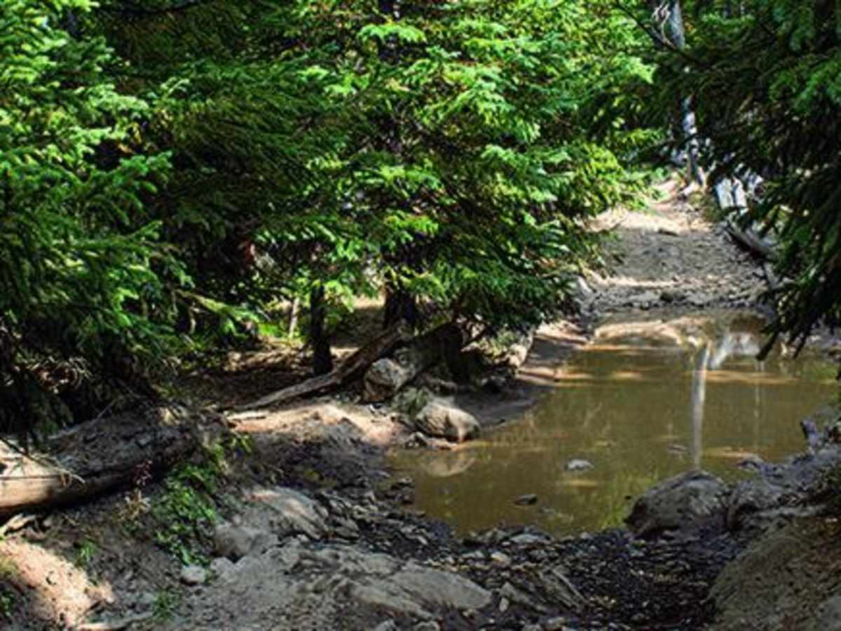
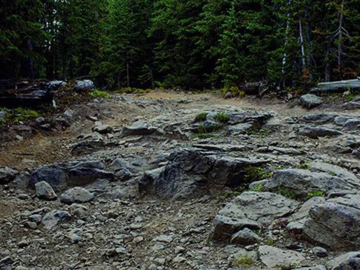
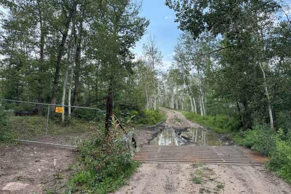
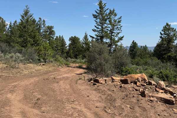
Difficult. Slow-going, relentless bumpy terrain with occasional short sections of smooth two-track. After Waypoint 02 trail has rock ledges, loose rocky climbs and several mud holes. When wet, the trail is impassable with slippery, side-hill spots. Not recommended for stock or oversize vehicles.

Technical Rating

8

Status Reports

Add Status Report
Scott Adams
Aug 04, 2026
2025 UBCO Work Bike
Open
Normal
With the exception of the beginning of the trail, the original post remains accurate. Be aware that heavy equipment is currently widening and improving the first mile of the road. During construction, this section will likely be soft, loose, and more challenging for motorcycles and lighter vehicles. The current plan is to improve only the first mile of each trail in the area to provide better access for logging operations. Also, expect heavy weekend traffic. The parking area had approximately 20 vehicles with trailers on both Saturday and Sunday, so the trail can become quite busy during peak times.
JB LEACH
Jul 30, 2025
2023 Rivian R1S
Open
Muddy/WetRough/Deteriorated
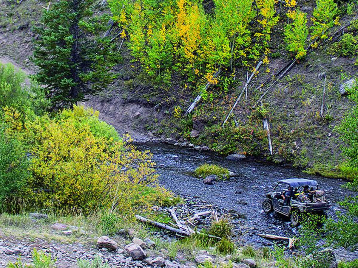
This can be a pretty spicey drive in when things are wet and muddy. When we drove it rained a good deal and looked like it had been raining for a while up high. There are two, steep and rutted hill climbs after the stream crossing that require lockers, good tires and ground clearance to make it up. The trail gets progressively more technical after Emerald Lake with ledges, rocks, deep mud-holes and plenty of things to smash your rocket planels on. This trail isn’t an 8 like most claim… when dry. It’s a different beast when wet. We had it both ways, wet and muddy on the way in and dry a few days later on the way out. I definitely wouldn’t want to drive out of there when it’s muddy. Controlling your speed down those two hill climbs in the mud would likely be impossible and end up in disaster with your ride wrapped around a few trees. Keep an eye on the weather.
Micah McFeaters
Jun 16, 2025
Open
Trail is super rocky, but was open all of the way to the upper two lakes where the trail ends. The Camping is beautiful up there but getting there may cost you a kidney. Not sure why this is rated an 8 for difficulty though, maybe for a stock Subaru without lockers, & there was no obstacles. I would rate this trail a high 4 maybe a low 5. I had to run the whole thing in 2 wheel drive to get back to camp after breaking both front axles on Tie Rod bender which is a true 8 difficulty trail.
mark wirth
Jun 06, 2025
Open
Muddy/WetRough/Deteriorated
Mostly rocky and some deep ruts. There is a section that is slippery mud. Had to turn around. No rocks to grip and no trees to pull from. Possible maybe with chains. Toyota Tacoma TRD with lift.
Caleb Gillan
Aug 10, 2024
Open
Rough/Deteriorated
Ever Leon
Jul 06, 2024
Open
NormalDustyMuddy/Wet
Stephen Lawrence
Oct 01, 2023
Open
Rough/Deteriorated
Dickey Karlis
Jul 30, 2023
Open
Rough/Deteriorated
Mike Suhadolink
Jun 24, 2023
Open

South Derby Creek Trail can be accessed by the following ride types:

  • Single Track
  • 50 Inch
  • 60 Inch
  • High Clearance

Access Description

The route is typically open from **mid-May to mid-November**, entirely dependent on high-altitude snowpack. A high-clearance **four-wheel-drive** vehicle or **SxS** is required. This trail is highly discouraged and not recommended for stock or oversized vehicles. Wet weather can render the route impassable due to slippery side-hill spots.

South Derby Creek Map

The onX Offroad Difference

onX Offroad combines trail photos, descriptions, difficulty ratings, width restrictions, seasonality, and more in a user-friendly interface. Available on all devices, with offline access and full compatibility with CarPlay and Android Auto. Discover what you're missing today!

Open Trail Map