Trail Overview
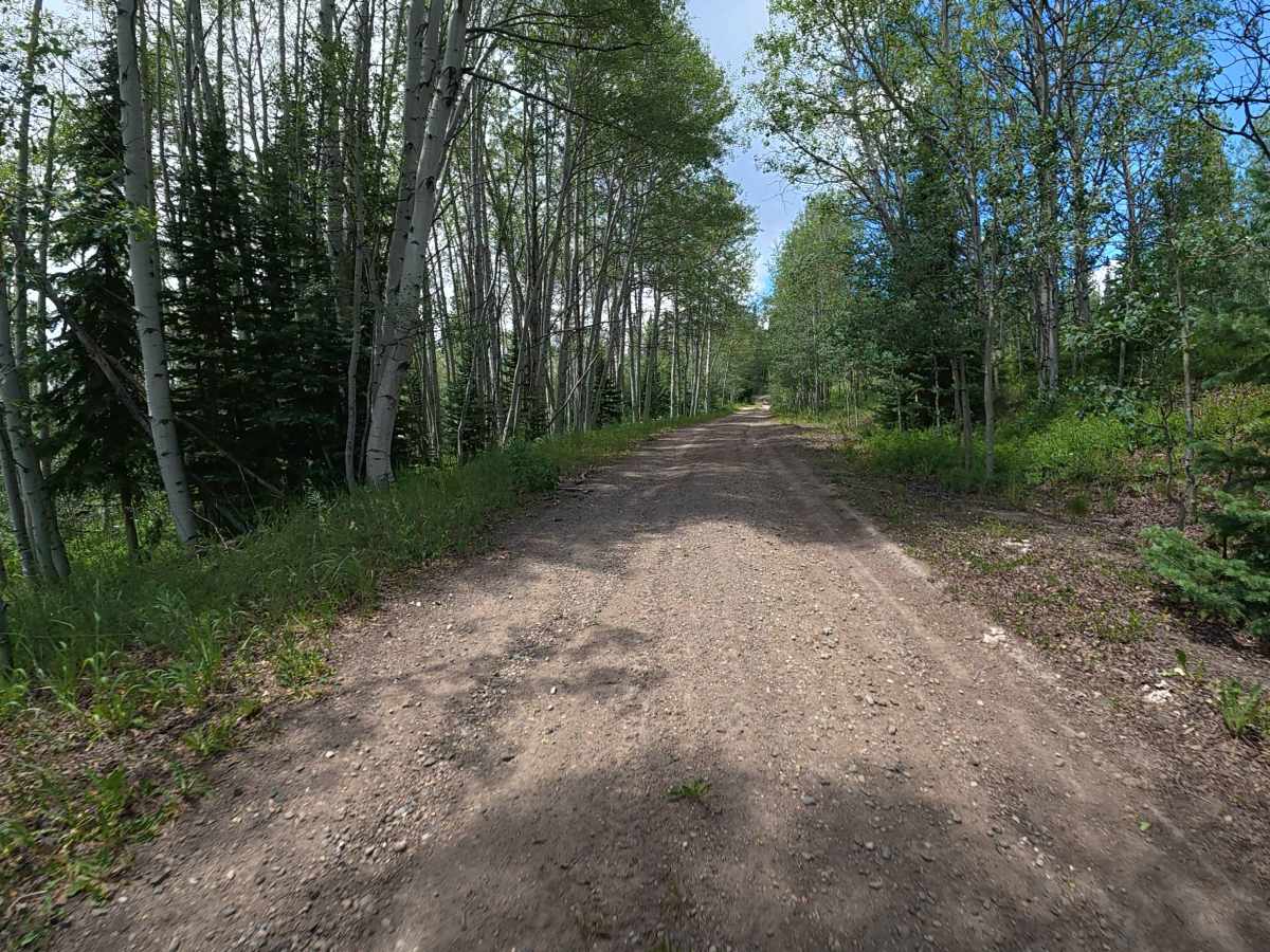
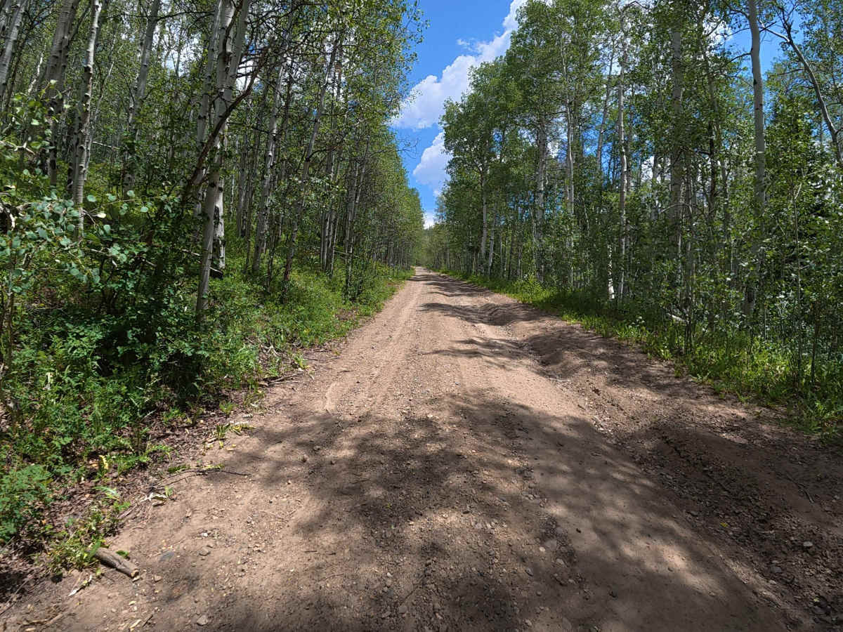
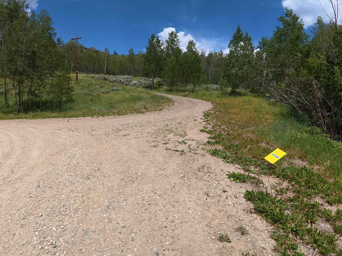
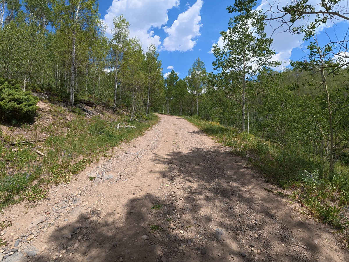
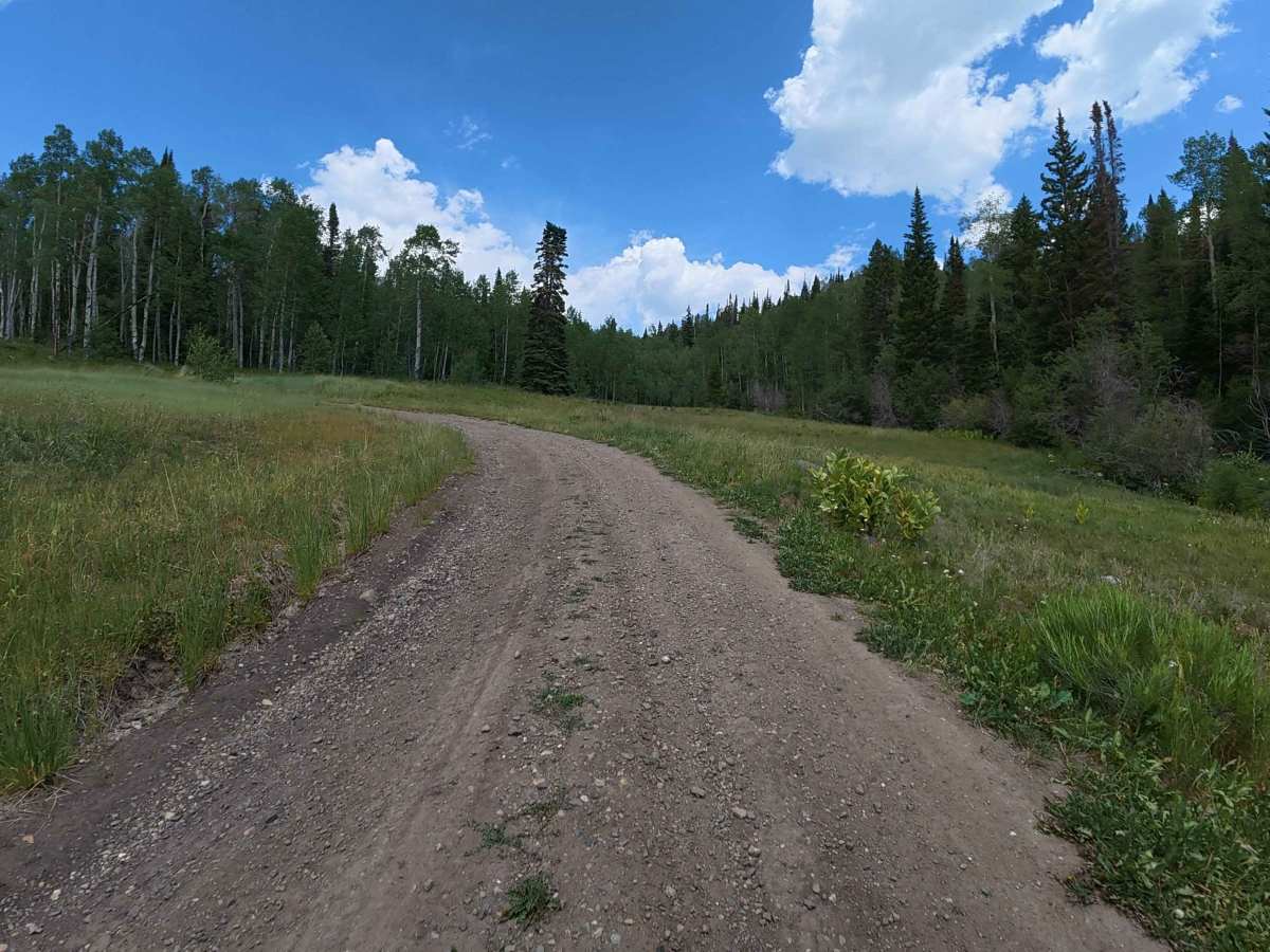
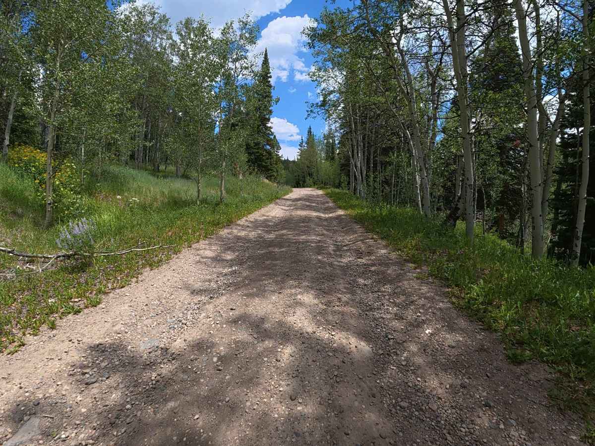
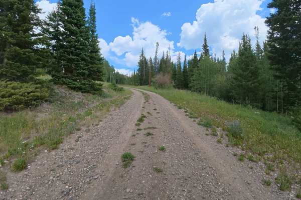
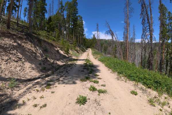
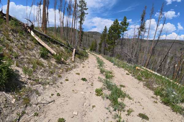
The County Road 216 trail is a highly engaging, thoroughly scenic mountain climbing route that branches directly off the well-traveled Grouse Mountain Trail. Immediately upon entering this trail, adventurers are challenged by a noticeably steep, persistent ascent featuring multiple winding switchbacks that snake up the rugged mountainside. The driving surface predominantly consists of loose dirt and small, shifting gravel, heavily characterized by consistent 4 to 6-inch ruts throughout the journey. As the climb becomes more demanding, deeper 8 to 10-inch ruts appear prominently on the right side of the trail; however, the pathway is generously wide enough to safely avoid these larger obstacles by carefully staying to the left. Beautifully enveloped by a breathtaking, dense canopy of vibrant Aspen trees, this trail offers absolutely phenomenal views of the surrounding wilderness. Ultimately, this exceptionally rewarding route serves as a fantastic, fun gateway providing deeper, extended access into the adjacent, public BLM land.
Difficulty
This thrilling uphill trail presents an easy level 3 of technical difficulty, primarily due to its aggressively steep, continuous elevation gain and steadily rutted terrain. The standard 4 to 6-inch dirt ruts require decent ground clearance, while the larger 8 to 10-inch ruts on the steeper uphill sections demand highly focused driver attention. Fortunately, because the trail is comfortably wide, capable stock 4x4 vehicles and trucks can successfully navigate around the worst structural hazards by hugging the left side of the track, ensuring a safe and exceptionally fun climb.