Trail Overview
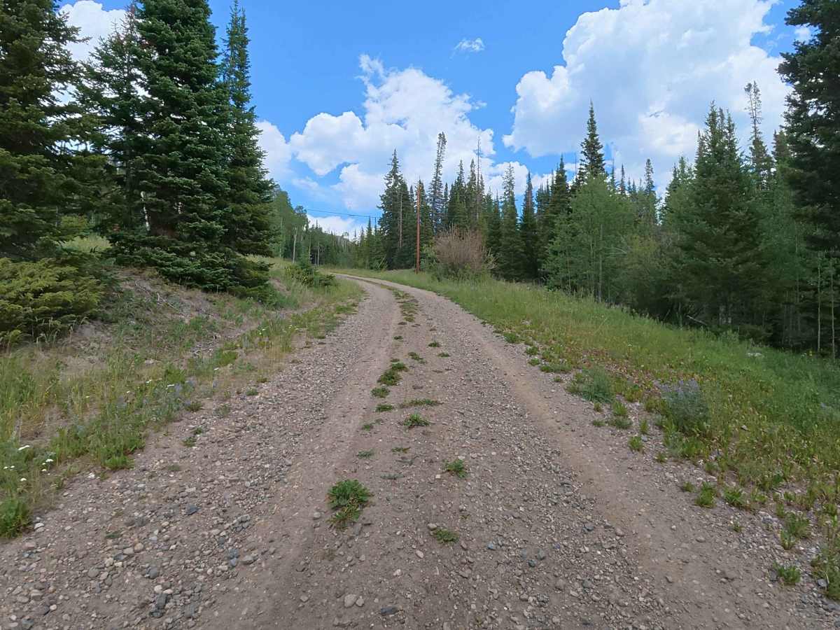
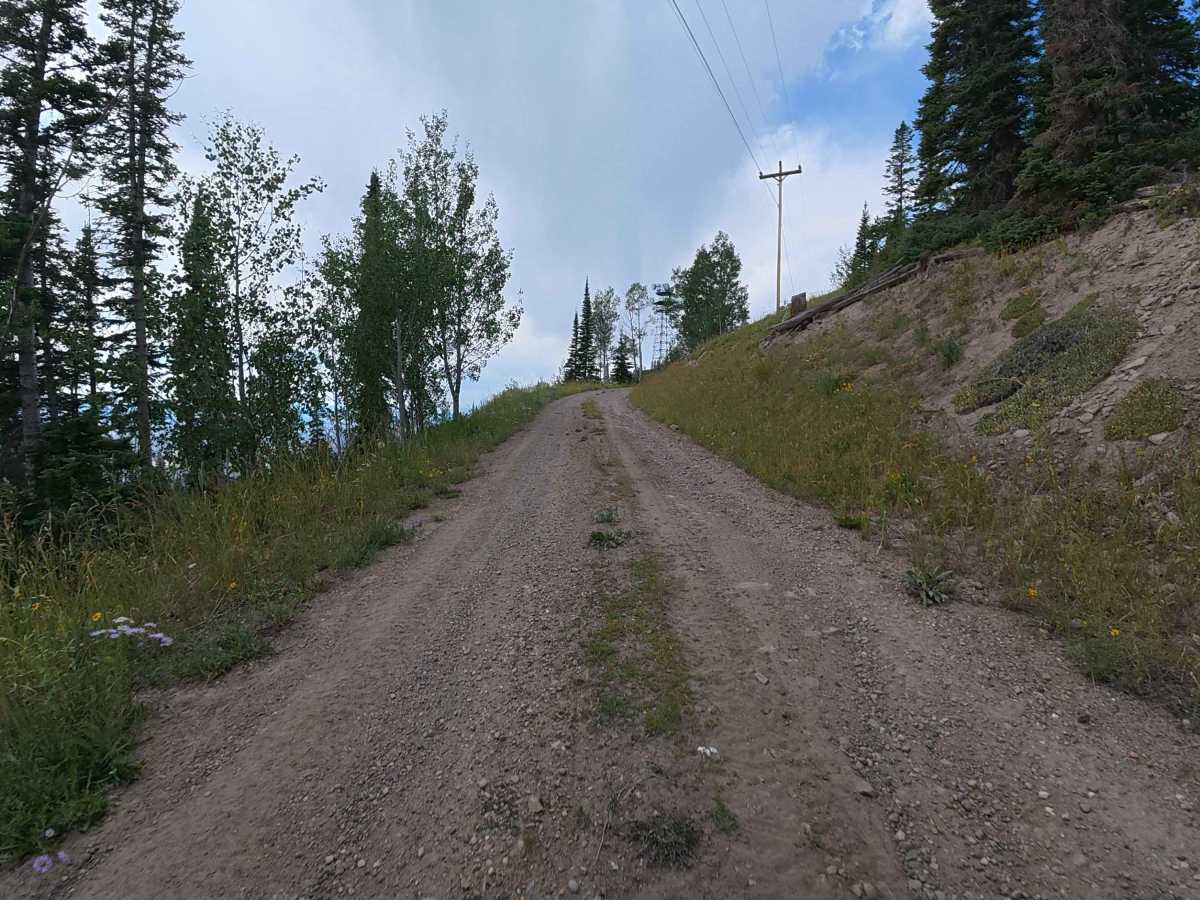
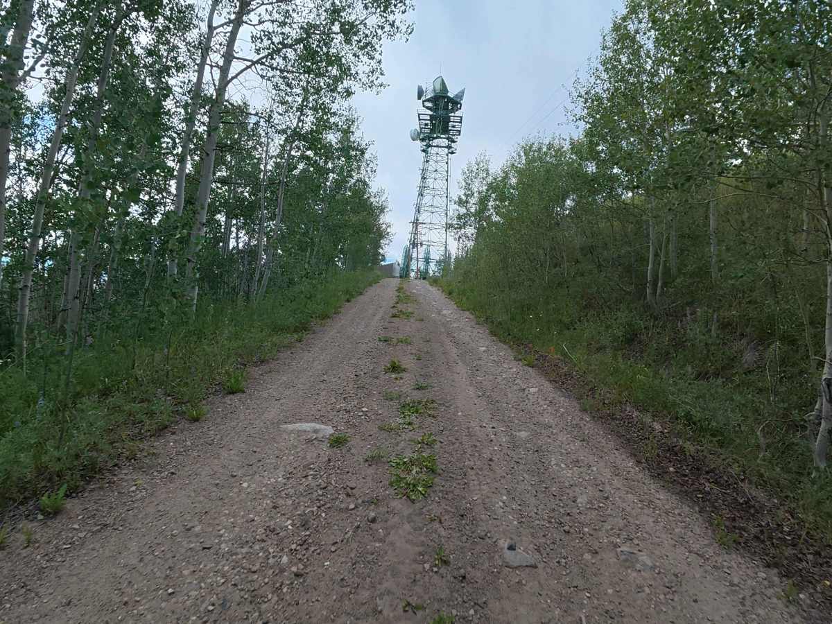
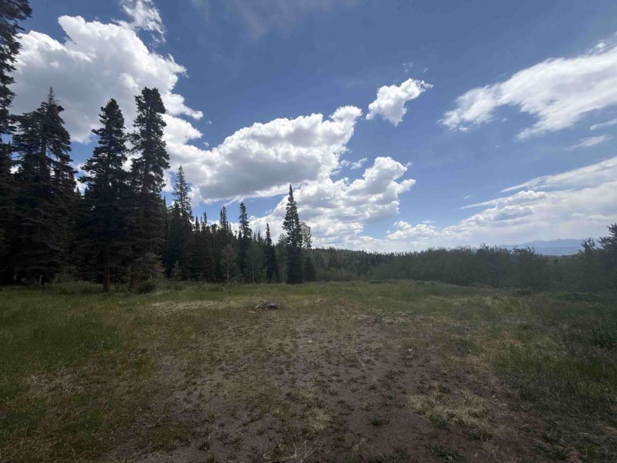
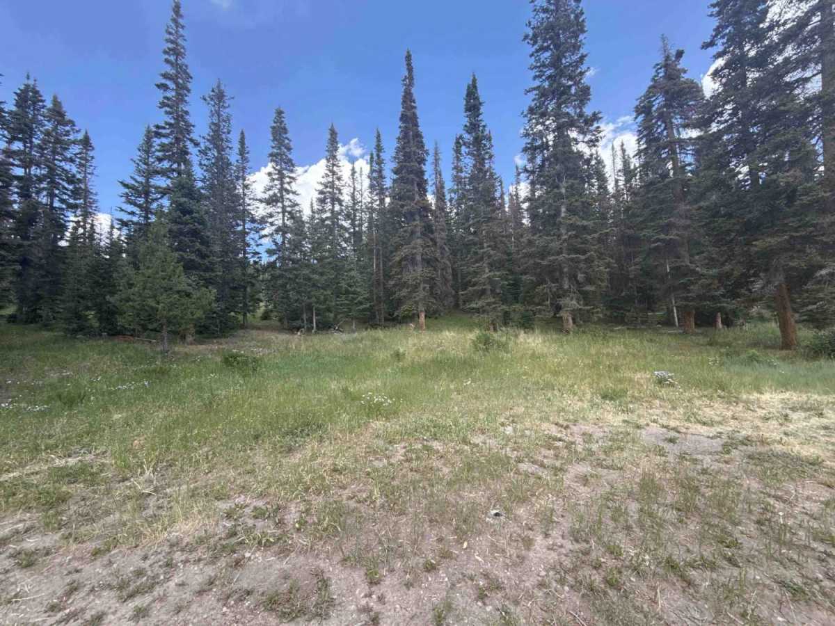
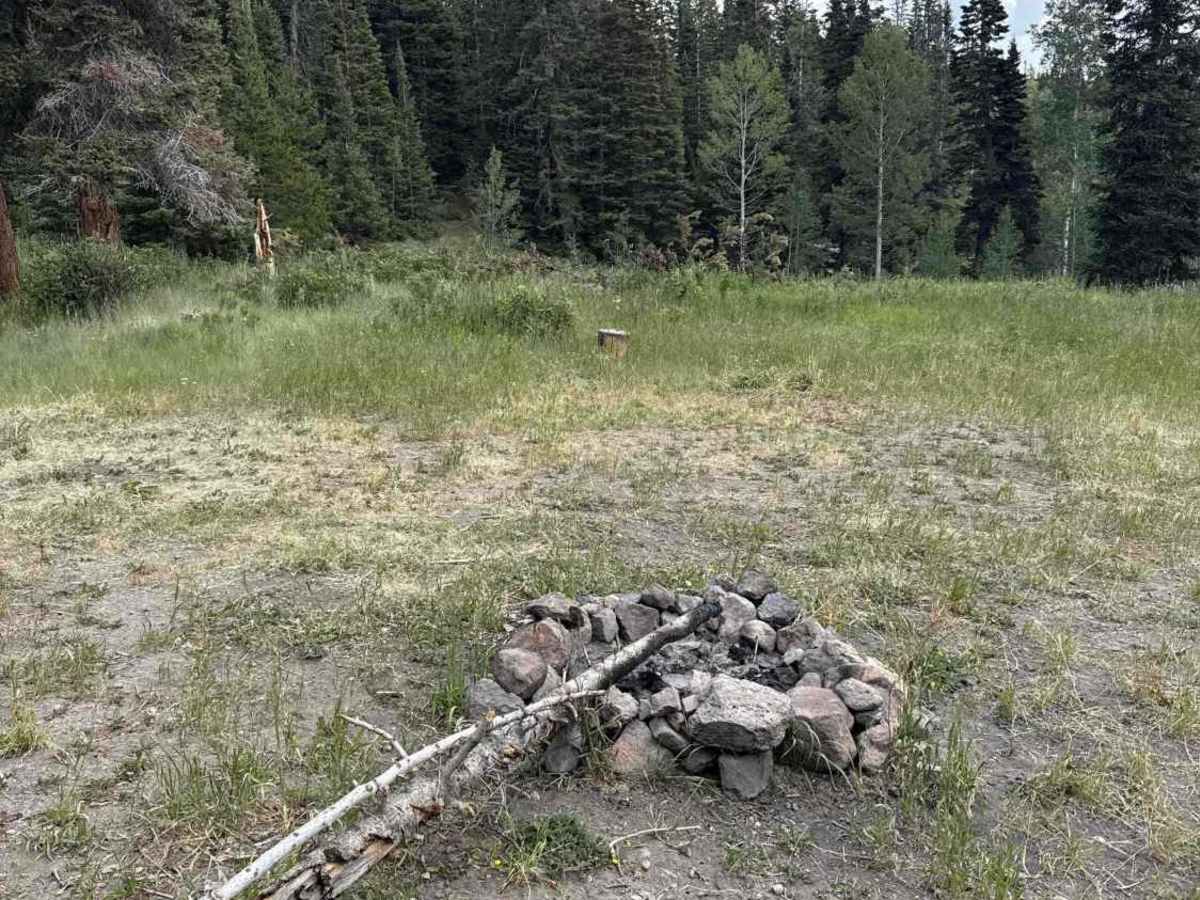
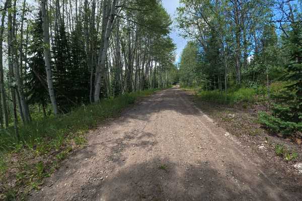
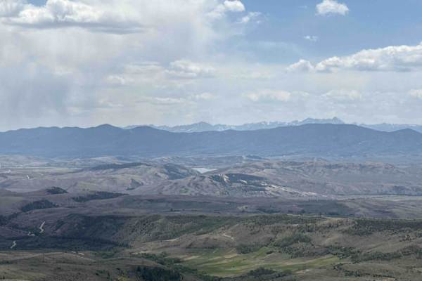
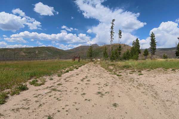
Continuing north from County Road 216, the Grouse Mountain FAA Site - FS 262.1 immediately transitions onto the sprawling Routt National Forest and begins a remarkably steep, demanding ascent. The route closely follows a meandering, picturesque creek, offering drivers undeniably beautiful, tranquil scenery as they navigate the challenging terrain. Towering, dense aspen forests flank the rugged trail, blanketing the area in vibrant foliage and casting a dappled, cooling shade over the track. Throughout this rigorous climb, drivers will encounter persistent, bone-jarring 6-to-8-inch ruts carved deeply into the dirt surface, requiring careful tire placement and steady momentum. Midway up this striking alpine route, a spacious dispersed campsite awaits. Readily accommodating anywhere from 6 to 15 vehicles, this level dirt site provides excellent privacy shielded by the surrounding aspens and features a rustic fire ring for evening gatherings. The trail ultimately concludes its relentless, scenic upward push at a stark, utilitarian telecommunications building perched proudly at the summit, rewarding travelers with sweeping, high-altitude vantage points before they turn around.
Difficulty
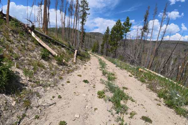
Grouse Mountain FAA Site Road - 262 obtains its 3 difficulty rating primarily because of the consistently steep, relentless grade encountered as the trail climbs upward through the dense aspen forest. Additionally, the route is heavily characterized by persistent 6-to-8-inch deep ruts spanning the entirety of the dirt ascent. These uneven, rugged track conditions require a high-clearance 4x4 vehicle to navigate effectively and prevent undercarriage damage. While the beautiful creek scenery and level camping areas provide a peaceful respite, the actual driving surface demands attentive off-road navigation and careful wheel placement from start to finish.