BLM Route 220

Total Miles5.4
Technical Rating
5Moderate
Best TimeFall
Trail TypeSingle Track
Accessible By
Open Trail Map

Trail Overview

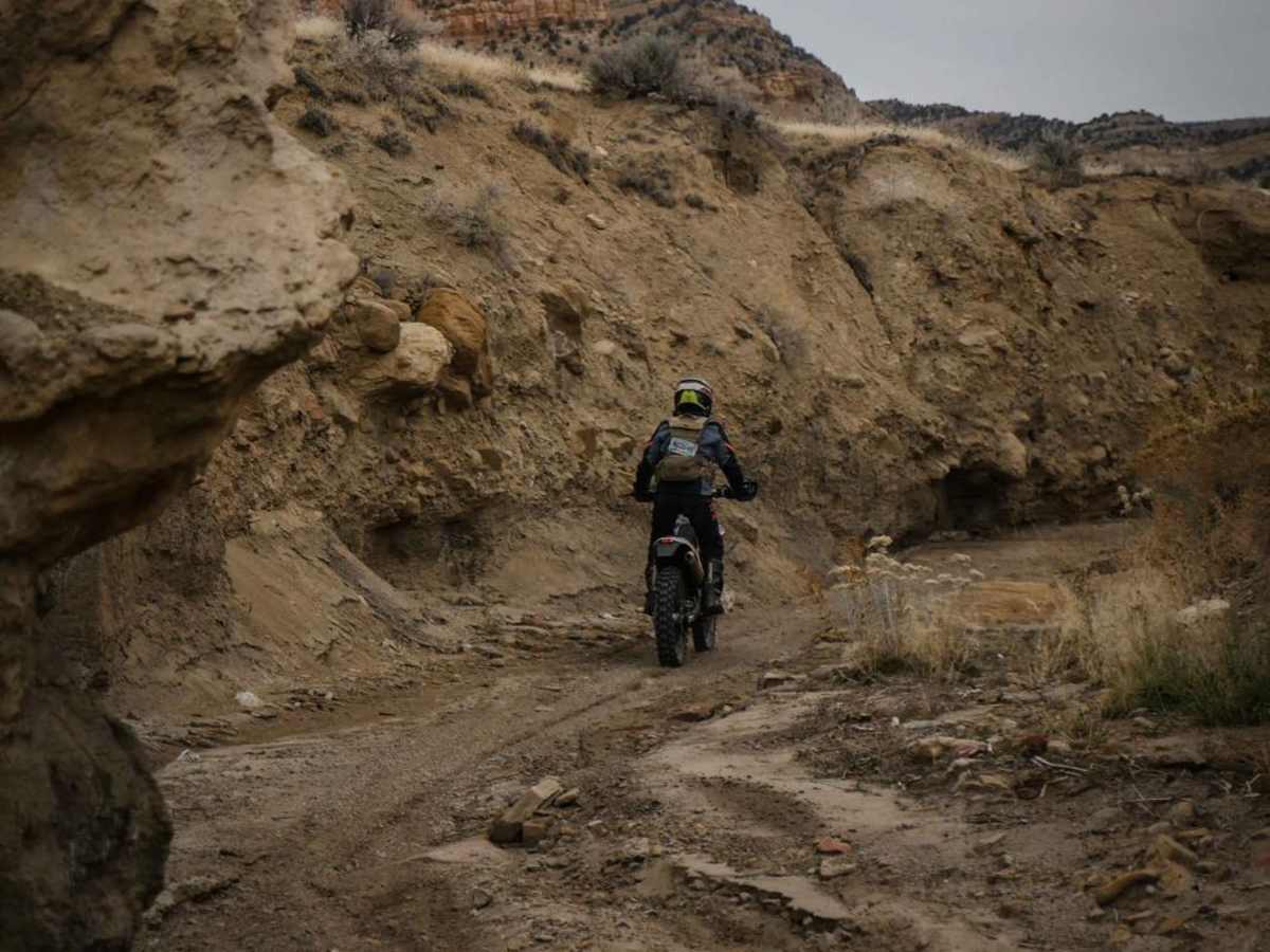
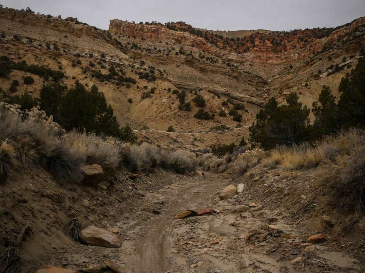
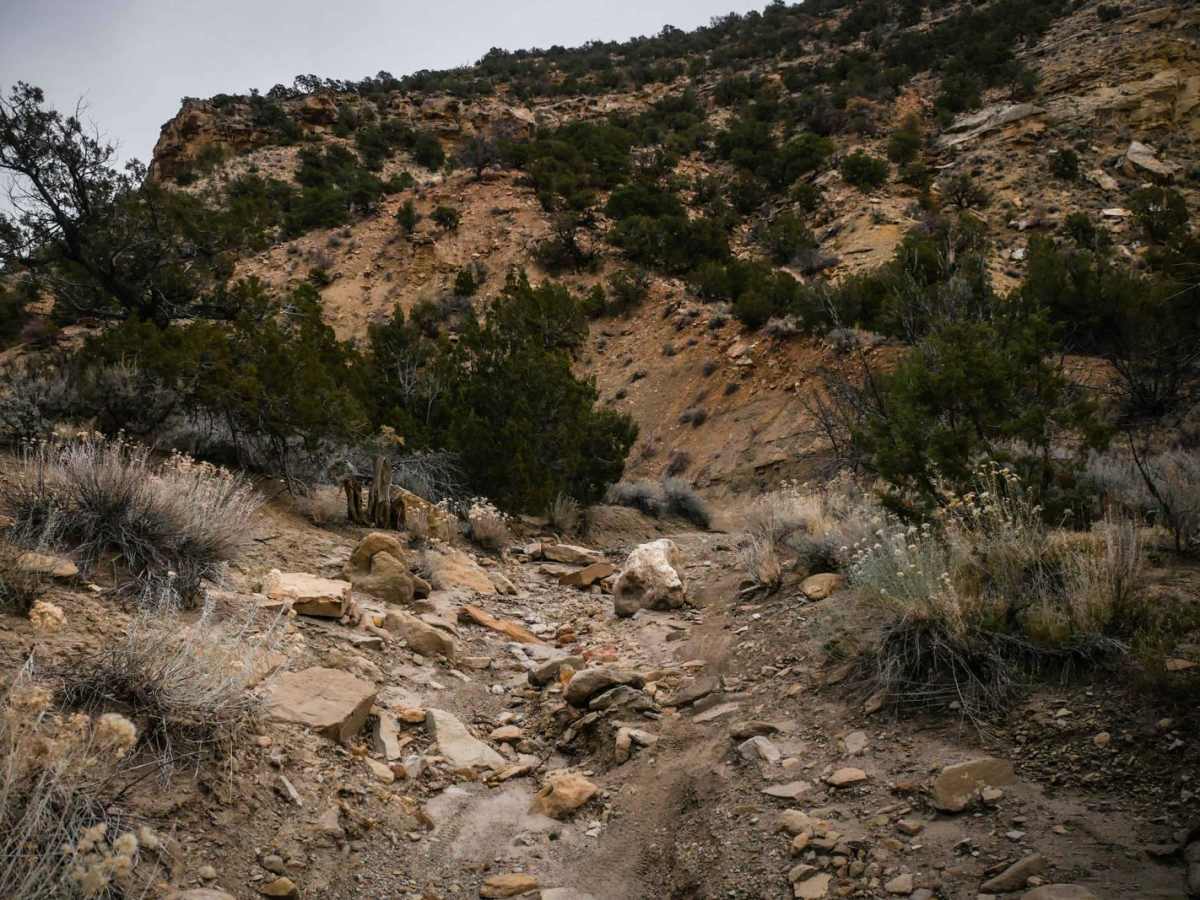
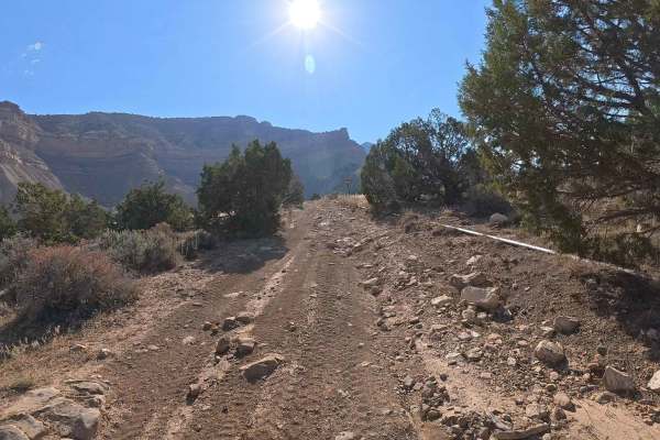
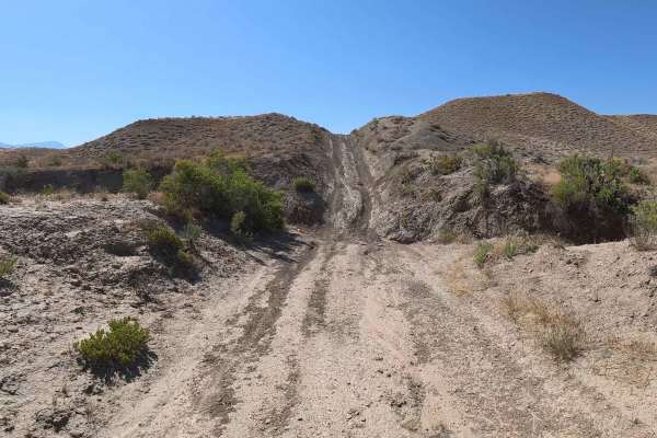
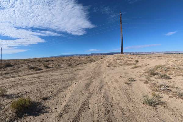
From west to east, this trail starts off as a fast and flowy single track through smooth desert terrain. It drops down into a wash for a couple of miles that is mostly sand with a few rocks and banked corners. It has great views of the surrounding red cliffs. The trail meanders in and out of the wash at times. At 3.9 miles, the trail exits the wash on the left when the wash dead ends, with a very technical climb that is loose, steep, and with significant rock ledges. The trail continues above the wash with significant ledge exposure for a small section, then drops back down into the wash. The east half of the trail in the wash is more technical than the west half, with several more rock ledges and loose rock sections. Further along, it exits the wash on the right and climbs up into the pinyon pine forest with several steep dirt switchbacks. It meanders through a narrow, flowy trail through the forest until eventually meeting up with the Edge Loop Road.

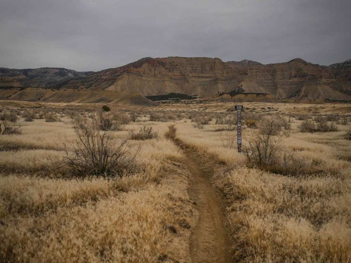
Photos of BLM Route 220

Difficulty

Most of the trail is rated a 3 because it is fast and flowy trail. The technical climb out of the wash is a 7, therefore overall a moderate trail (5).

Technical Rating

5

Status Reports

Add Status Report
Merrit Crum
Oct 19, 2025
Open
We completed this trail as the second leg of a loop riding up 21rd and down this trail. For the most part this trail probably hovers around a 4/10 difficulty based on steep grades, some loose rock, and high exposure. There is one section that dives straight down a wash that has become extremely eroded that increases the difficulty though. Going downhill this section was sketchy, but not impossible. Going uphill however would be approaching the reaches of possibility for the average rider because the entire runup is loose and technical and the ledge of the wash itself is extremely steep and fairly tall. I would consider this section to be rated a 6/10 going downhill and an 8 or 9/10 going uphill in it's current condition with all the erosion (see picture for the top section). Fun trail with good scenery and a variety of challenges.
Cody G
Aug 26, 2024
Obstructed
Washout
The climb exiting the creek bed going from west to east is severely washed out from the storm yesterday multiple holes above axle height and last ledge is washed out to a 5’ vertical jagged face
Rob Coffin
Aug 20, 2024
Obstructed
Washout
Joe Dunbar
Oct 08, 2023
Open
Normal

BLM Route 220 Trail can be accessed by the following ride types:

  • Single Track

BLM Route 220 Map

The onX Offroad Difference

onX Offroad combines trail photos, descriptions, difficulty ratings, width restrictions, seasonality, and more in a user-friendly interface. Available on all devices, with offline access and full compatibility with CarPlay and Android Auto. Discover what you're missing today!

Open Trail Map