Trail Overview
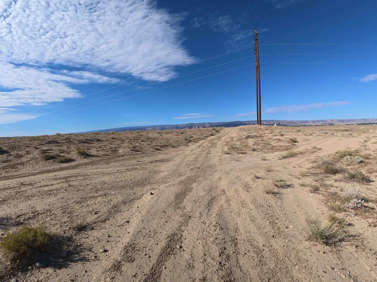
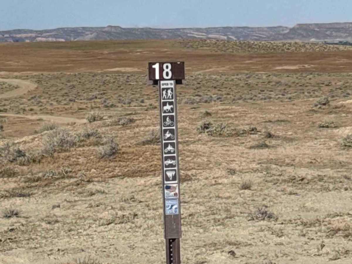
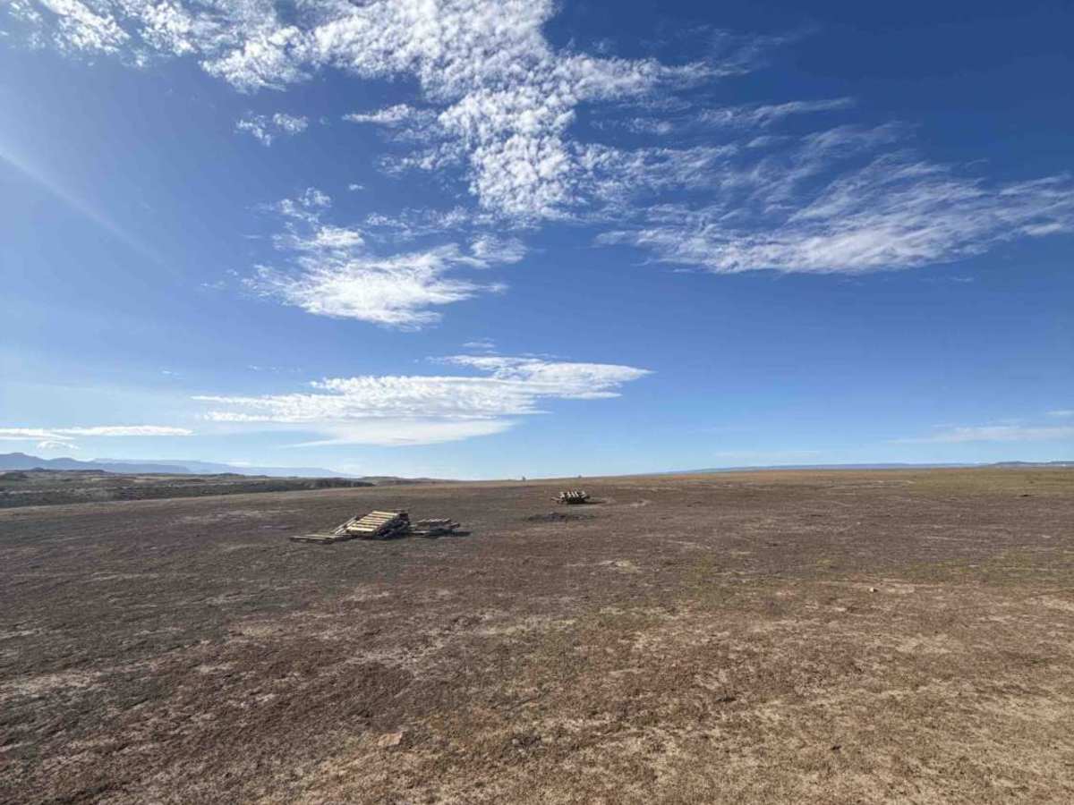
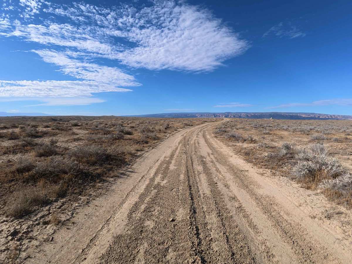
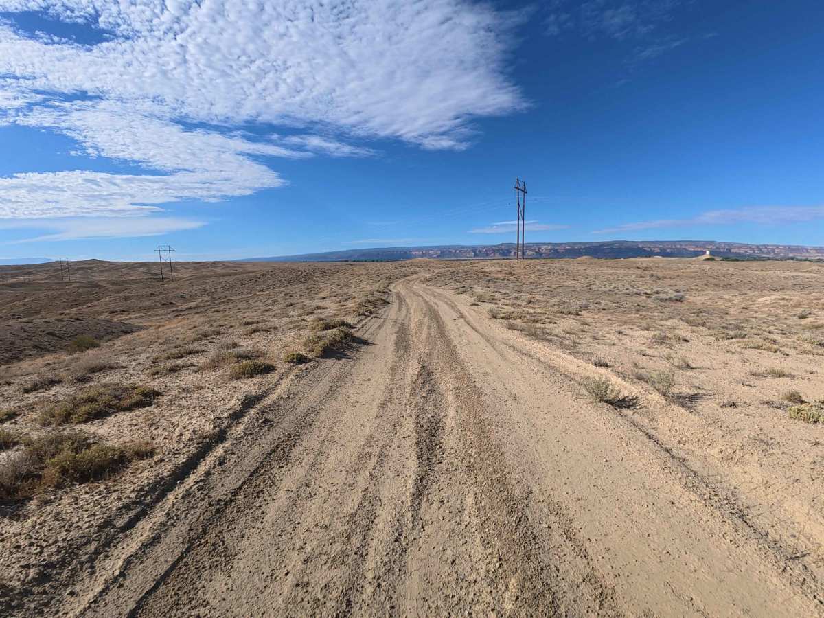
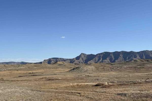
The overall environment of BLM 181 is a sprawling, sun-baked high desert plain offering outstanding, sweeping views of the distant Colorado National Monument. Beginning directly off BLM 174, this route heads south through a beautifully wide-open landscape populated by low-lying scrub brush and tall wooden powerline poles that guide you along the horizon. Just 0.3 miles into the journey, you will encounter a large, easily accessible dispersed campsite that is perfectly positioned for a convenient overnight stay. As you progress through the sweeping, dusty curves, it is highly important to pay close attention to your navigation. This scenic drive is open to a wide variety of outdoor enthusiasts, including hikers, horseback riders, bicyclists, and all motorized vehicles, making it a fantastic, shared-use connector to the surrounding trail network.
Difficulty
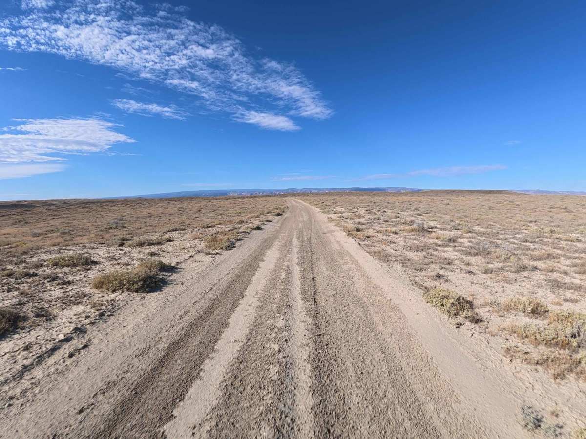
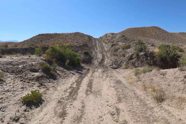
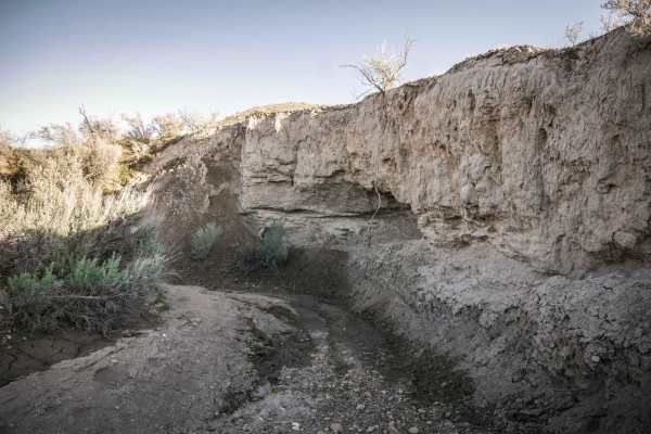
The trail surface consists primarily of packed dirt lightly dusted with scattered small rocks and loose sand. The majority of the route is smooth and exceptionally easy to navigate, though it does feature a few minor terrain changes to keep things engaging. Around the 0.4-mile mark, the road descends into the valley down a steep 15 to 18-degree grade. This hill features shallow ruts ranging from 2 to 6 inches deep, but it remains highly manageable and well-groomed in dry conditions. Further along, near 1.3 miles, you will smoothly cross over a standard metal cattle guard. Besides some very minor, shallow washboarding visible in the track's corners, you can expect a relaxing, straightforward drive that simply requires maintaining a steady, comfortable speed.