Trail Overview
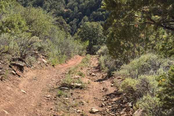
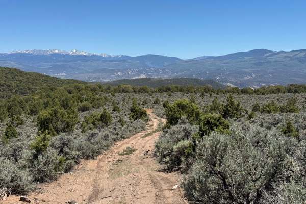
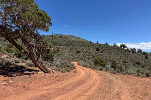
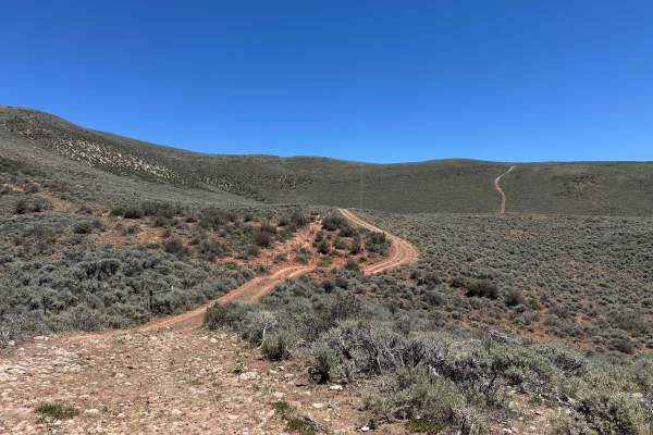
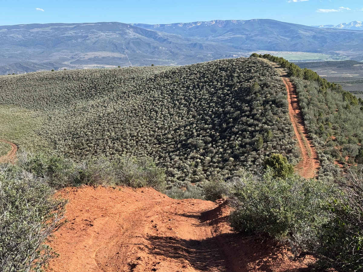
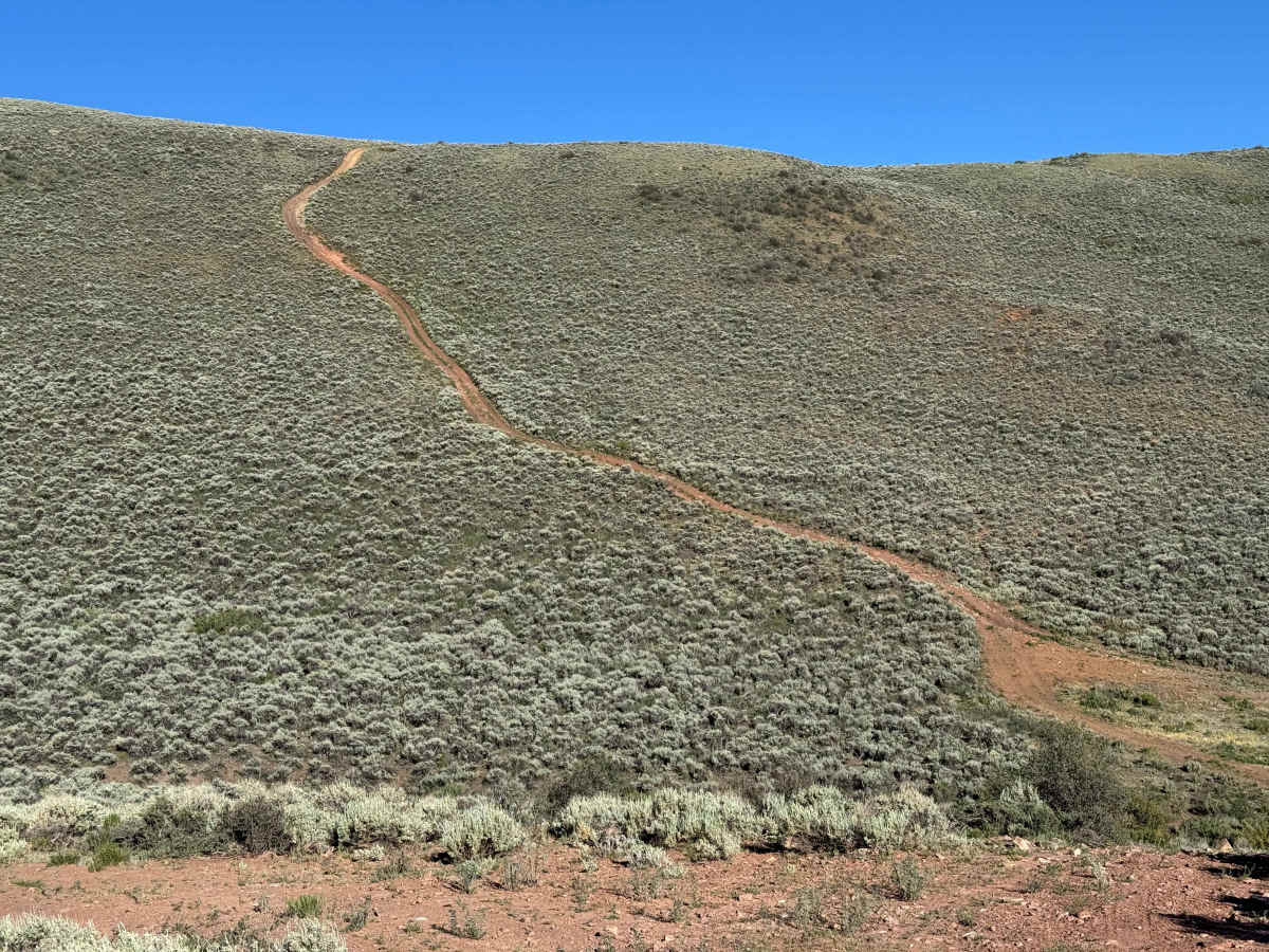
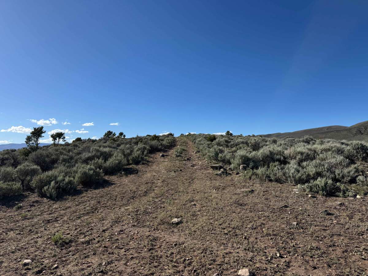
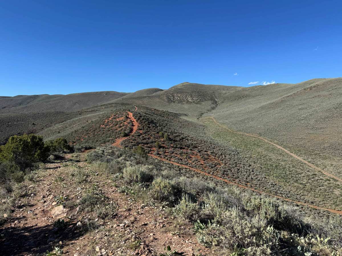
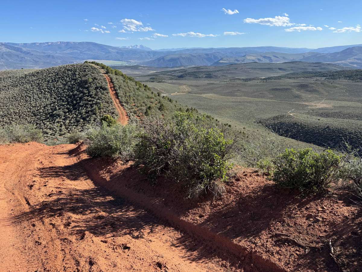
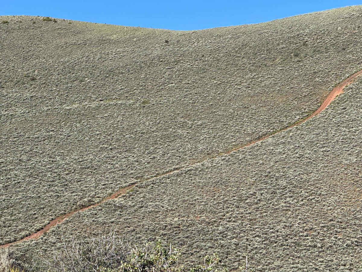
This scenic out-and-back route features significant elevation changes, with continuous climbing and descending through a variety of terrain. The trail begins with several rocky sections before transitioning into striking red dirt as it follows a ridgeline with multiple steep climbs. The most challenging obstacle is a long, sustained ascent approaching 40 degrees in places, with several off-camber sections and deep ruts that require careful tire placement. Airing down tires is strongly recommended, and most vehicles will need to utilize 4WD Low Range to safely navigate the steep grades. After traversing the ridge, the route makes a sharp right turn into the valley before climbing to the top of the trail’s longest and steepest hill. The mapped route continues to the edge of the BLM boundary. Upon reaching the end, drivers will retrace their path and tackle the same challenging terrain, including the steep hill, in reverse.
Difficulty
Even in dry conditions, the steepest hill on this BLM route presents a significant challenge. Drivers should air down their tires and utilize 4WD Low Range to maximize traction on the loose, steep climb. Maintaining steady momentum is critical to successfully reaching the top, as traction can be limited throughout the ascent. This difficulty rating is based on dry conditions; following heavy rain or storms, the hill becomes extremely slick and is often impassable for most vehicles.

 Offroad