BLM 8480I

Total Miles1.1
Technical Rating
3Easy
Best TimeSummer
Trail TypeFull-Width Road
Accessible By
Open Trail Map

Trail Overview

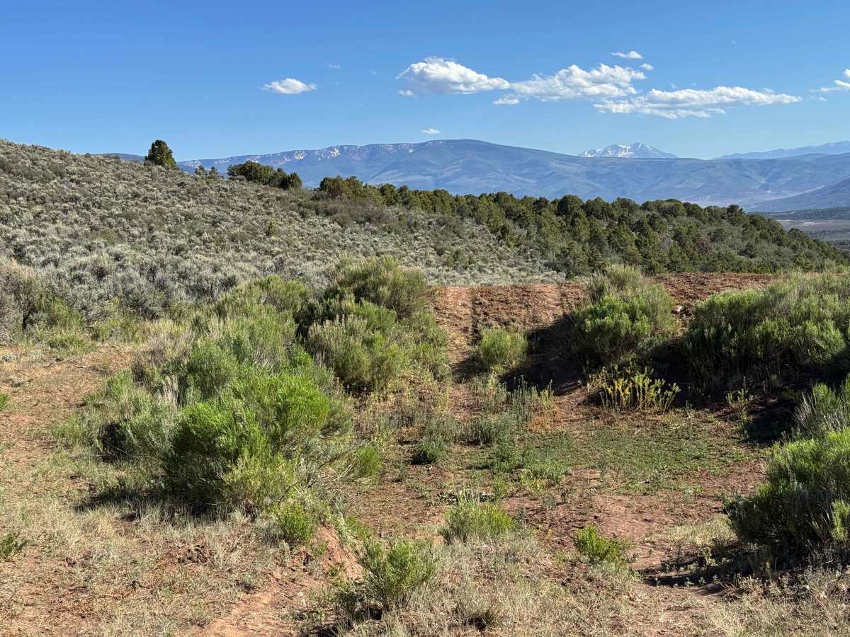
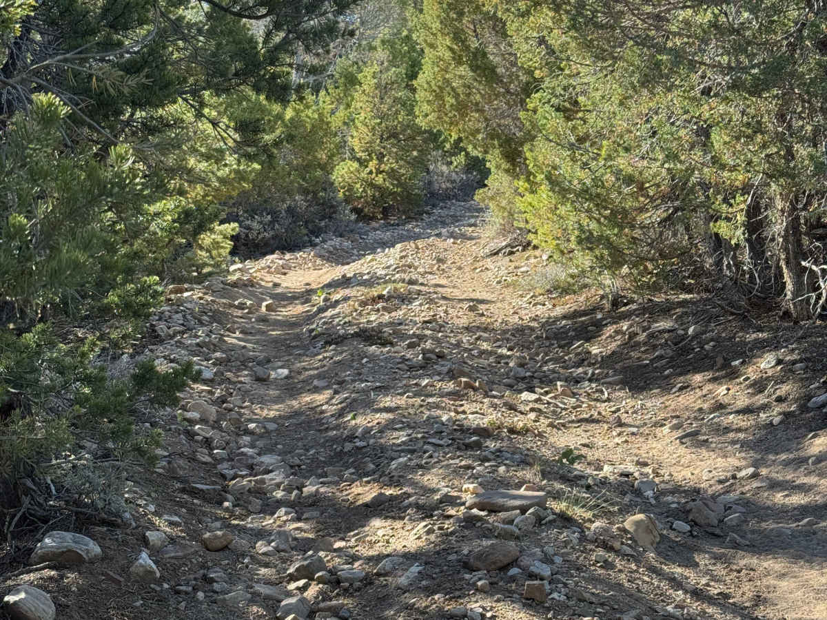
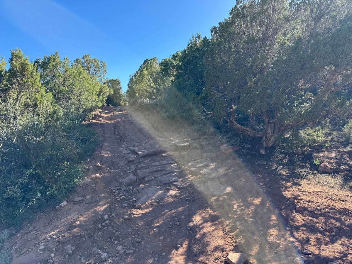
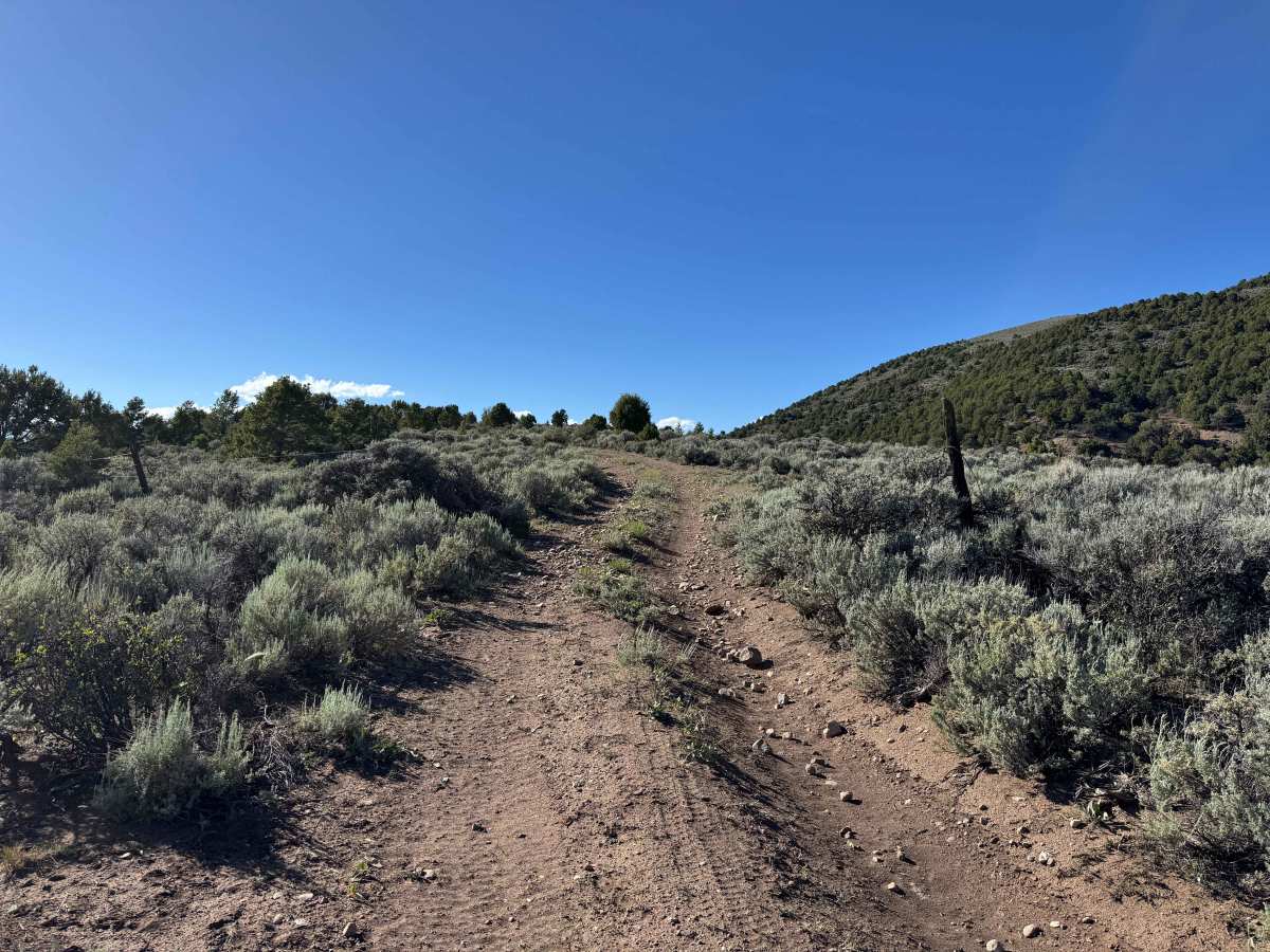
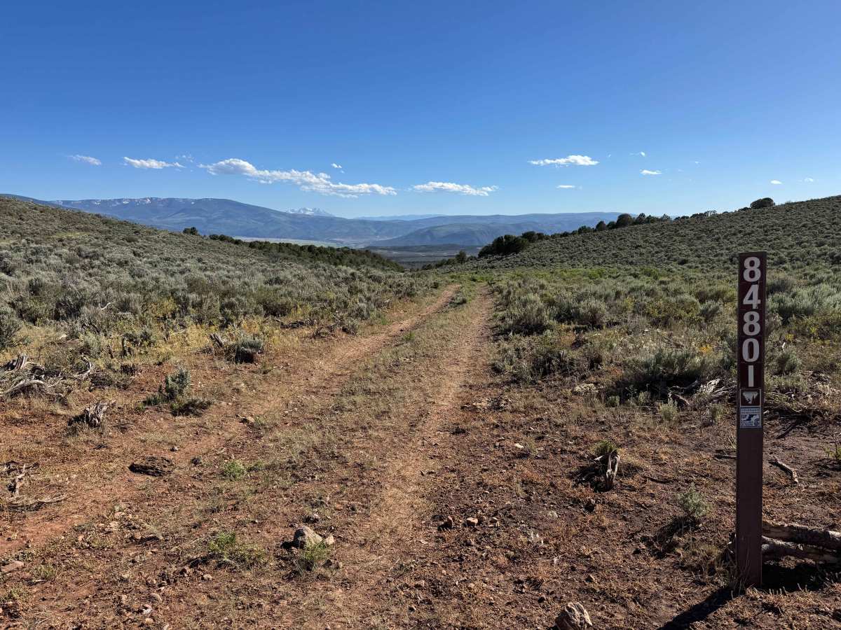
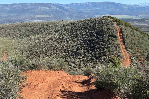
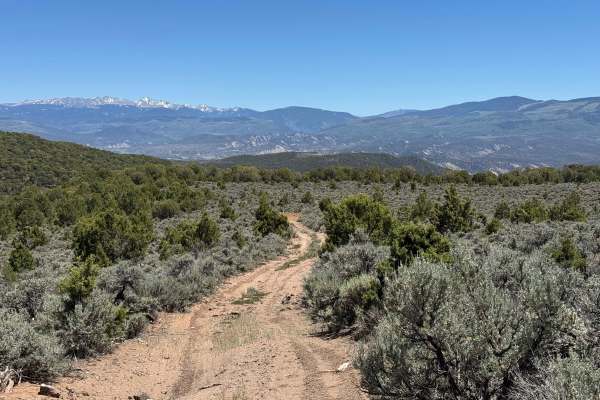
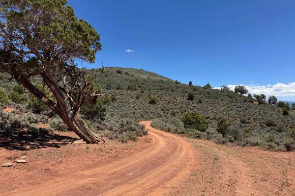
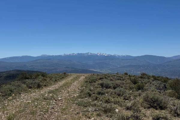
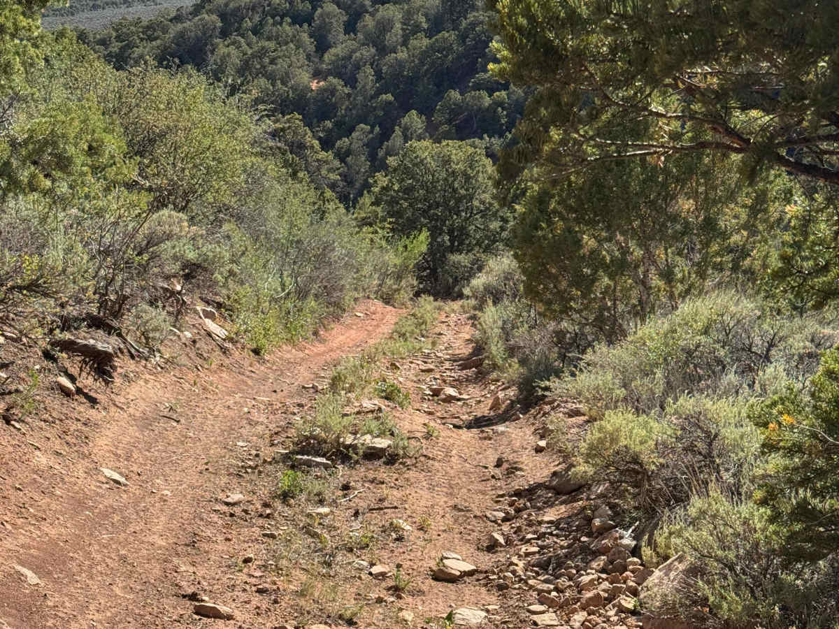
This short route begins in the open, treeless high-country hills before descending into the valley along a faint two-track that gradually transitions into a rocky road. The descent requires careful navigation through tight stands of trees, rain ruts, and uneven terrain as the trail winds toward the valley floor. At the bottom, a fork in the route provides views of several normally dry drainage features that transform into impressive seasonal waterfalls during periods of runoff, typically for a few weeks each year. Turning right at the fork, the return climb is relatively straightforward, following a gradual ascent back toward BLM Road 8480 and the trail’s starting area.

Photos of BLM 8480I

Difficulty

In dry conditions, this trail presents only a moderate challenge for most high-clearance 4WD vehicles. While several steep sections are covered with loose, ball-bearing-sized rocks that can reduce traction and create slippery conditions, the obstacles are generally manageable with proper driving technique. Airing down tires and utilizing 4WD will significantly improve traction and vehicle control, making the route straightforward to navigate when conditions are dry.

Technical Rating

3

BLM 8480I Trail can be accessed by the following ride types:

  • Single Track
  • 50 Inch
  • 60 Inch
  • High Clearance
  • Full Width

BLM 8480I Map

The onX Offroad Difference

onX Offroad combines trail photos, descriptions, difficulty ratings, width restrictions, seasonality, and more in a user-friendly interface. Available on all devices, with offline access and full compatibility with CarPlay and Android Auto. Discover what you're missing today!

Open Trail Map