Trail Overview
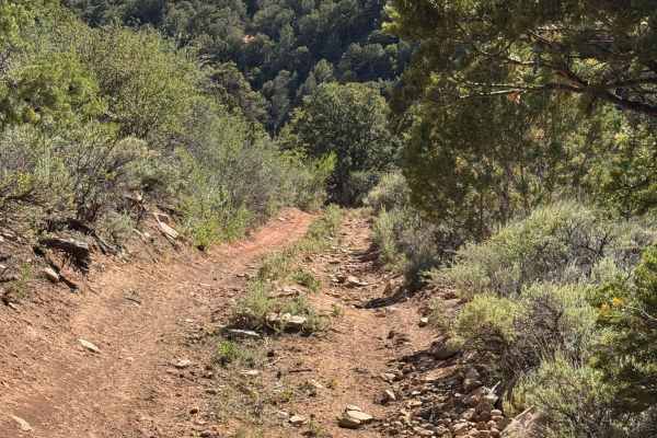
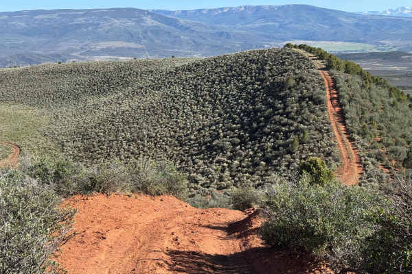
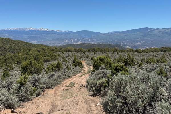
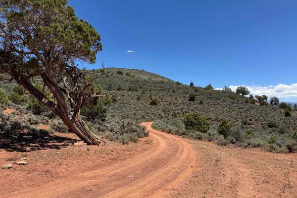
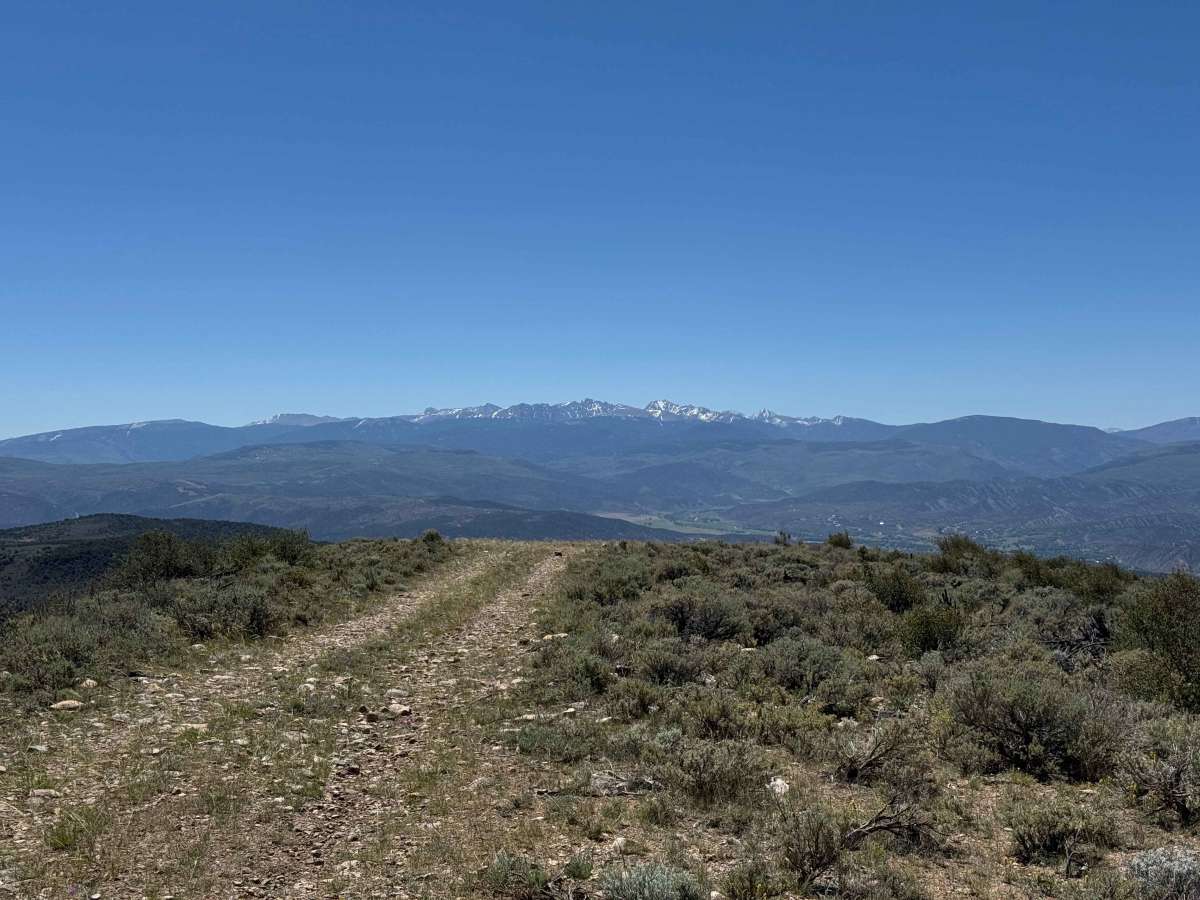
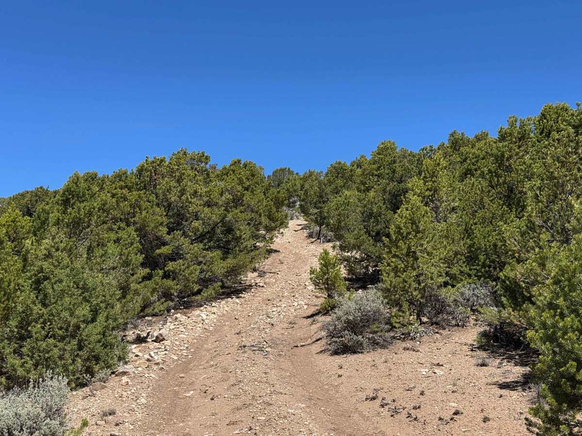
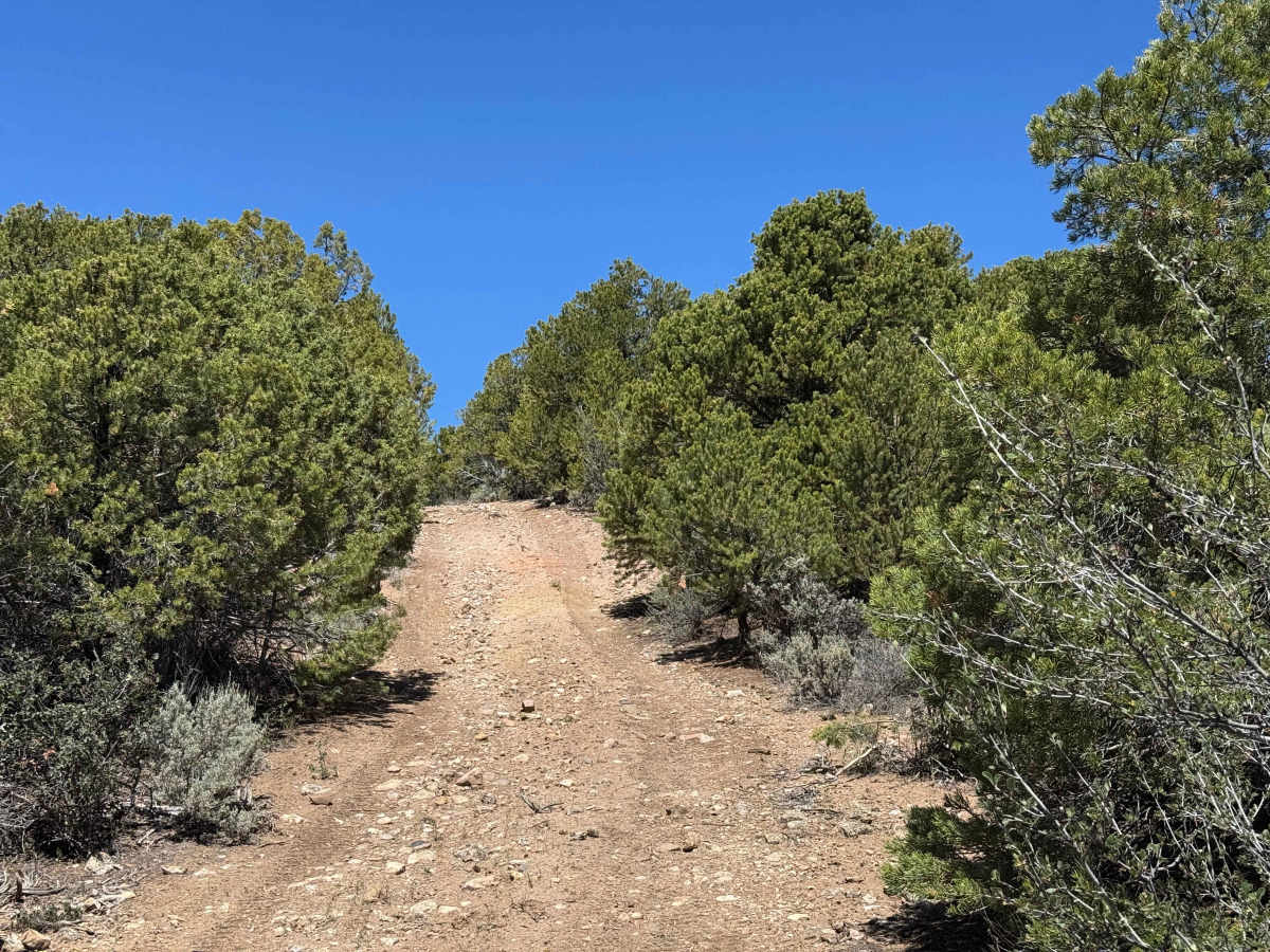
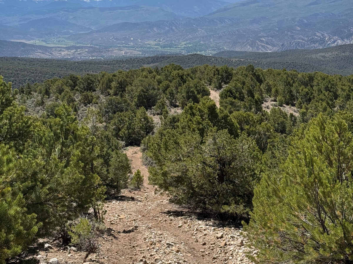
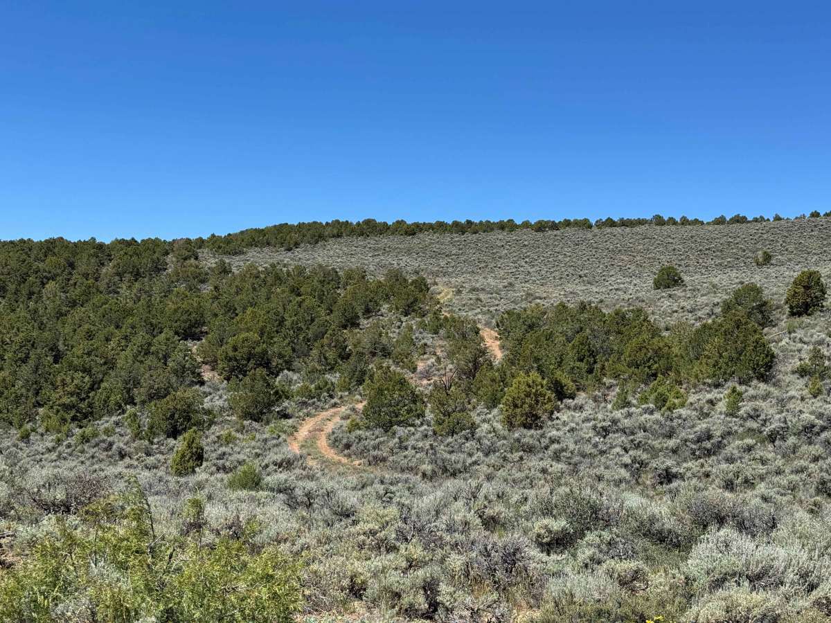
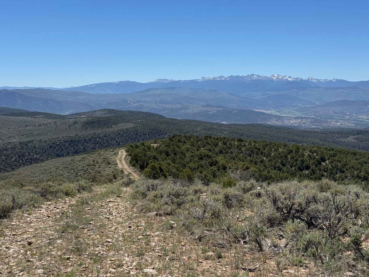
This out-and-back trail begins with a sustained climb to one of the highest points in the area, rewarding drivers with impressive views overlooking the valley and communities below. While not exceptionally difficult in dry conditions, the ascent features numerous loose rocks and several steep sections where 4WD and properly aired-down tires are recommended for improved traction and comfort. After reaching the summit, the route descends into denser forest, where tighter tree-lined corridors, looser rock, and steeper terrain create a more technical driving experience. The trail becomes increasingly rugged as it approaches the turnaround point before retracing the same route back to the trailhead.
Difficulty
In dry conditions, the most challenging aspects of this route are navigating the low, narrow tree sections and maintaining traction on a handful of steep climbs covered with loose rock. Aside from these obstacles, the trail is generally straightforward and should present few difficulties for a properly equipped 4WD vehicle. With aired-down tires and careful line selection in the tighter sections, most drivers will find this to be an enjoyable and manageable trail.

 Offroad