Trail Overview
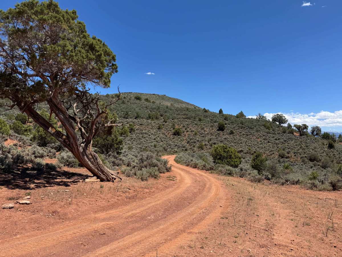
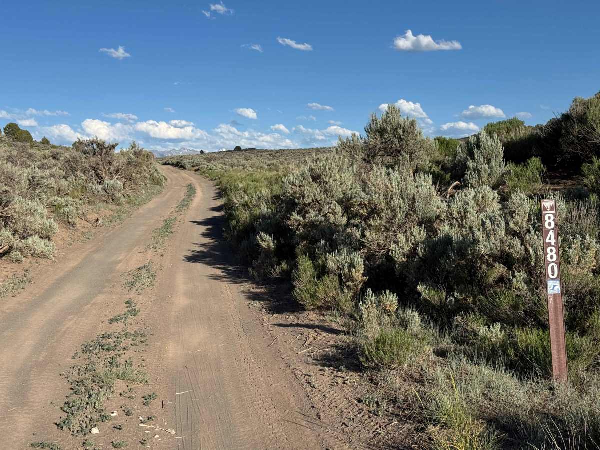
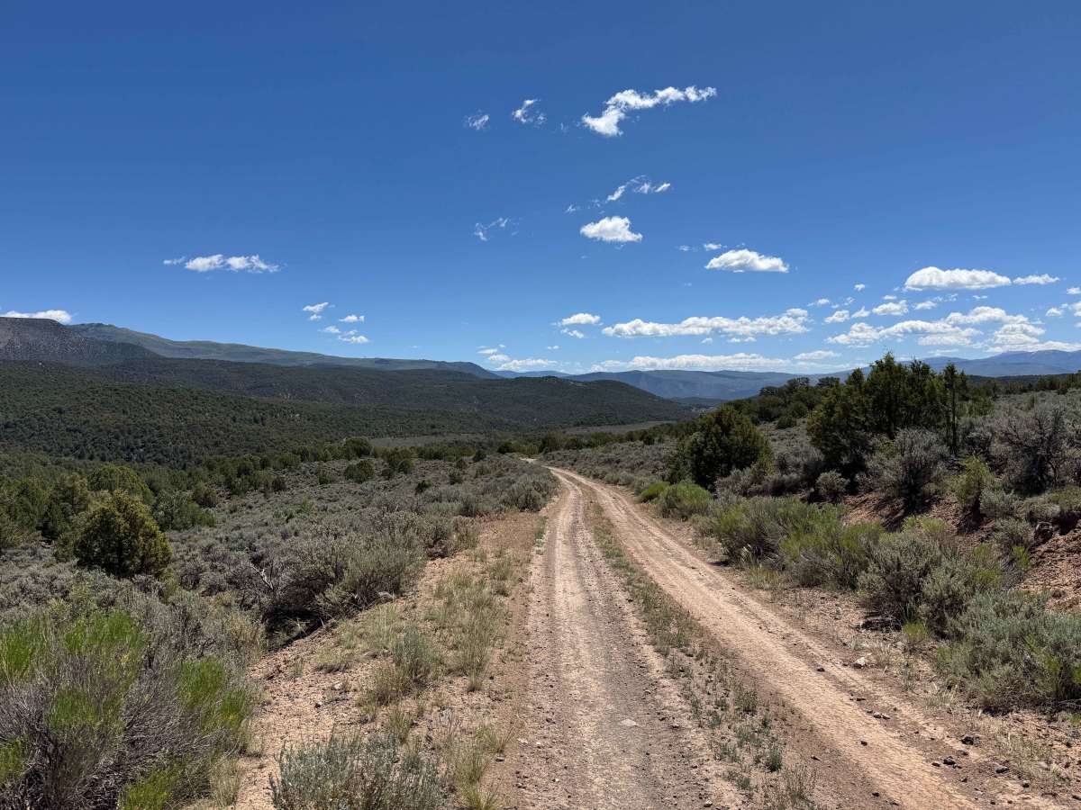
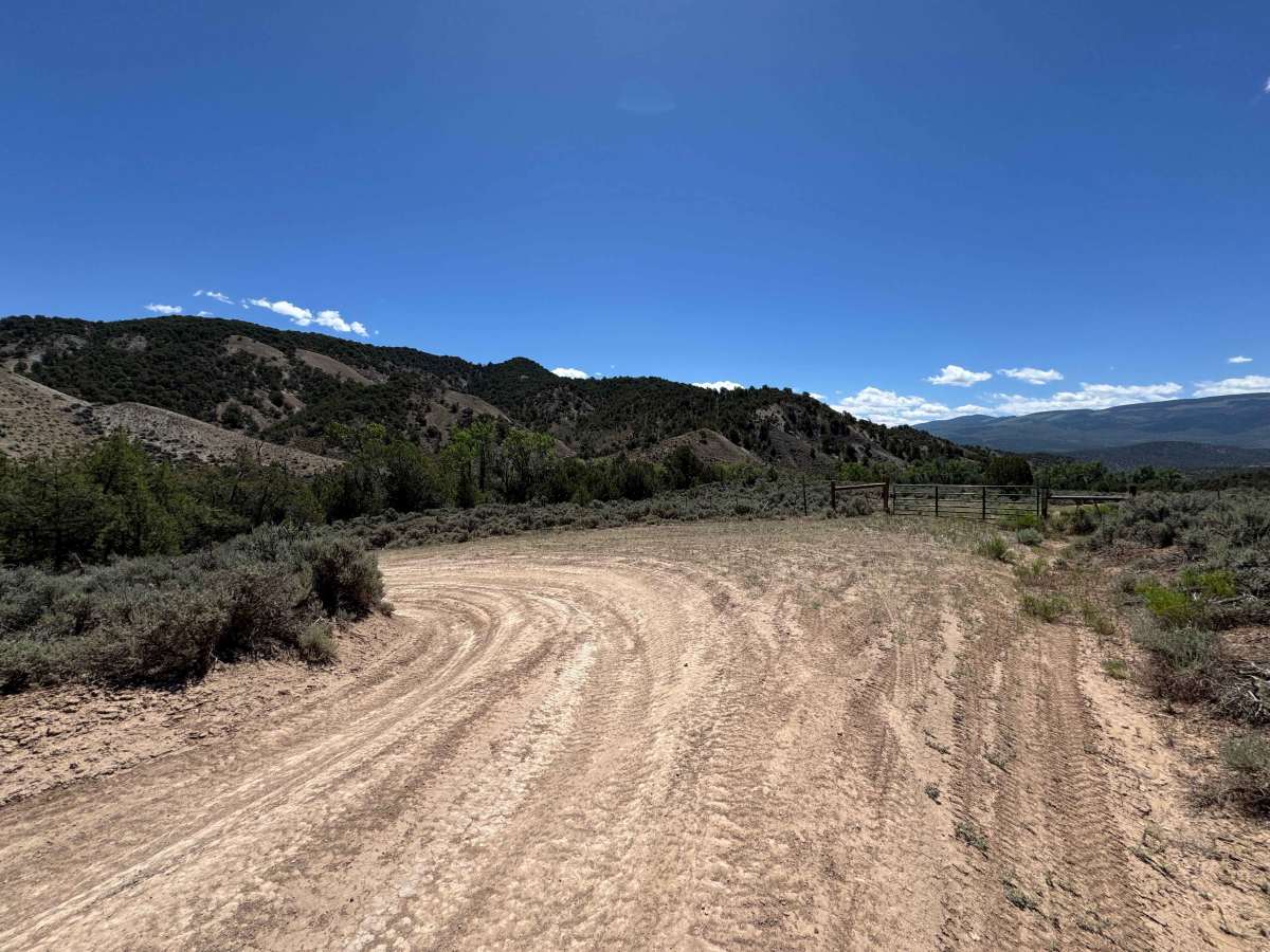
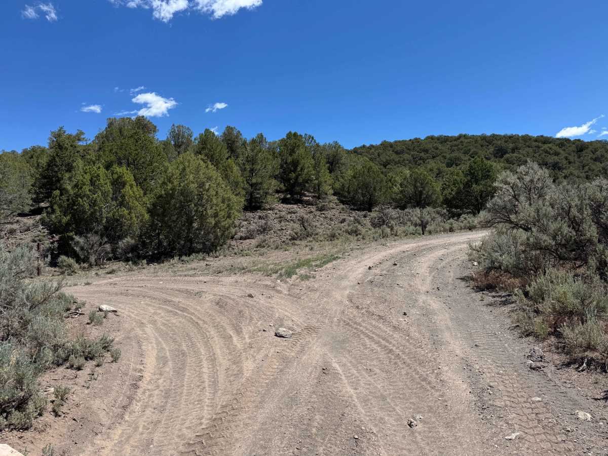
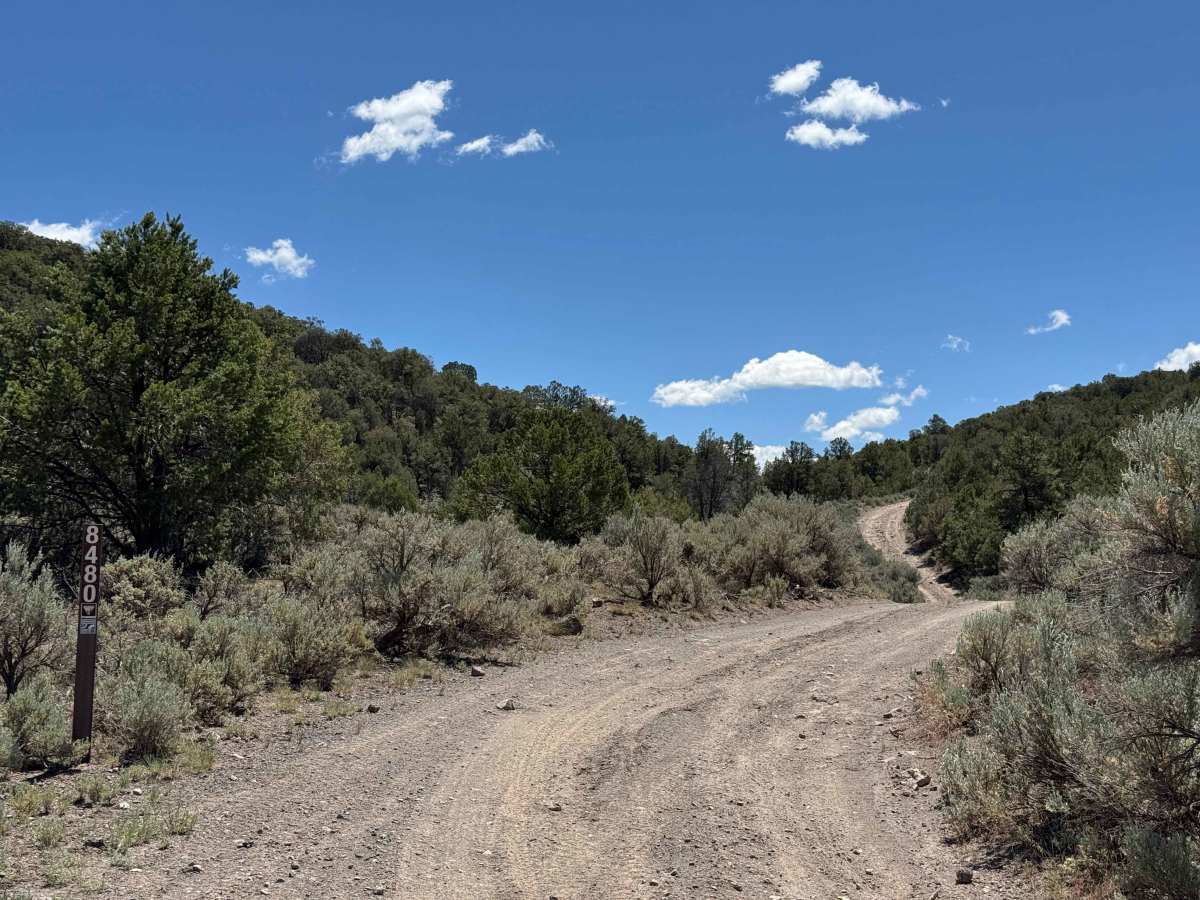
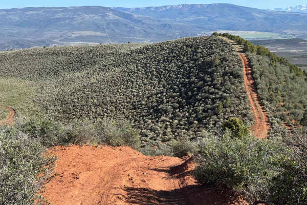
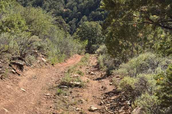
This well-traveled BLM trail begins at the edge of private property and quickly crosses a cattle guard before winding into the backcountry. During the first several miles, you’ll find several dispersed campsites scattered along the route. As the journey continues, the forest becomes denser, and the 11-mile trail weaves through a series of small canyons and rolling hills, with a gradual climb dominating the middle portion of the route. Drivers will encounter a few very narrow sections and occasional low-hanging branches, though the trail is generally well-established and easy to follow. Several shelf-road segments require careful tire placement, and loose rock can make some of the steeper climbs slightly challenging. In dry conditions, however, a vehicle equipped with 4WD and properly aired-down tires should have little difficulty completing the trail. The reward is a collection of spectacular views from the higher elevations, making the climb well worth the effort.
Difficulty
In dry conditions, this is not a particularly difficult trail. A vehicle equipped with 4WD and properly aired-down tires will have an advantage on several steep sections where loose rock can reduce traction. The trail’s difficulty rating assumes dry conditions; when wet, muddy, or snow-covered, conditions can deteriorate rapidly, increasing the challenge significantly and potentially making portions of the route impassable.