Trail Overview
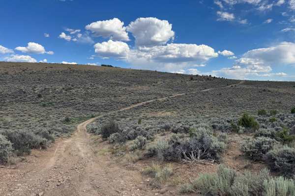
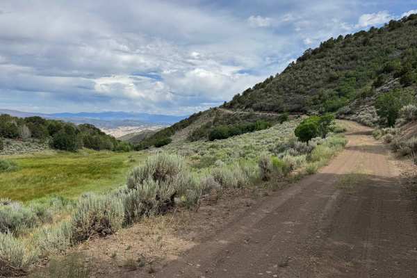
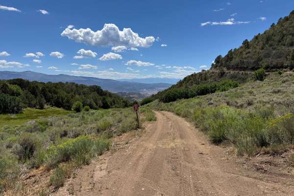
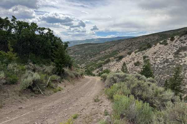
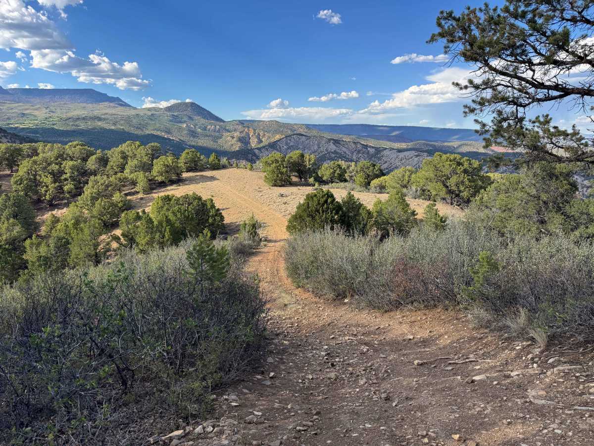
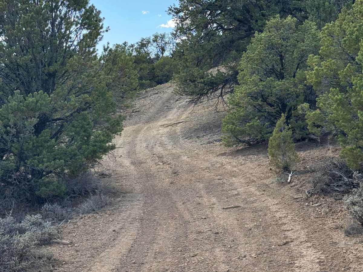
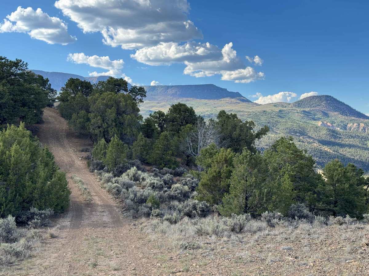
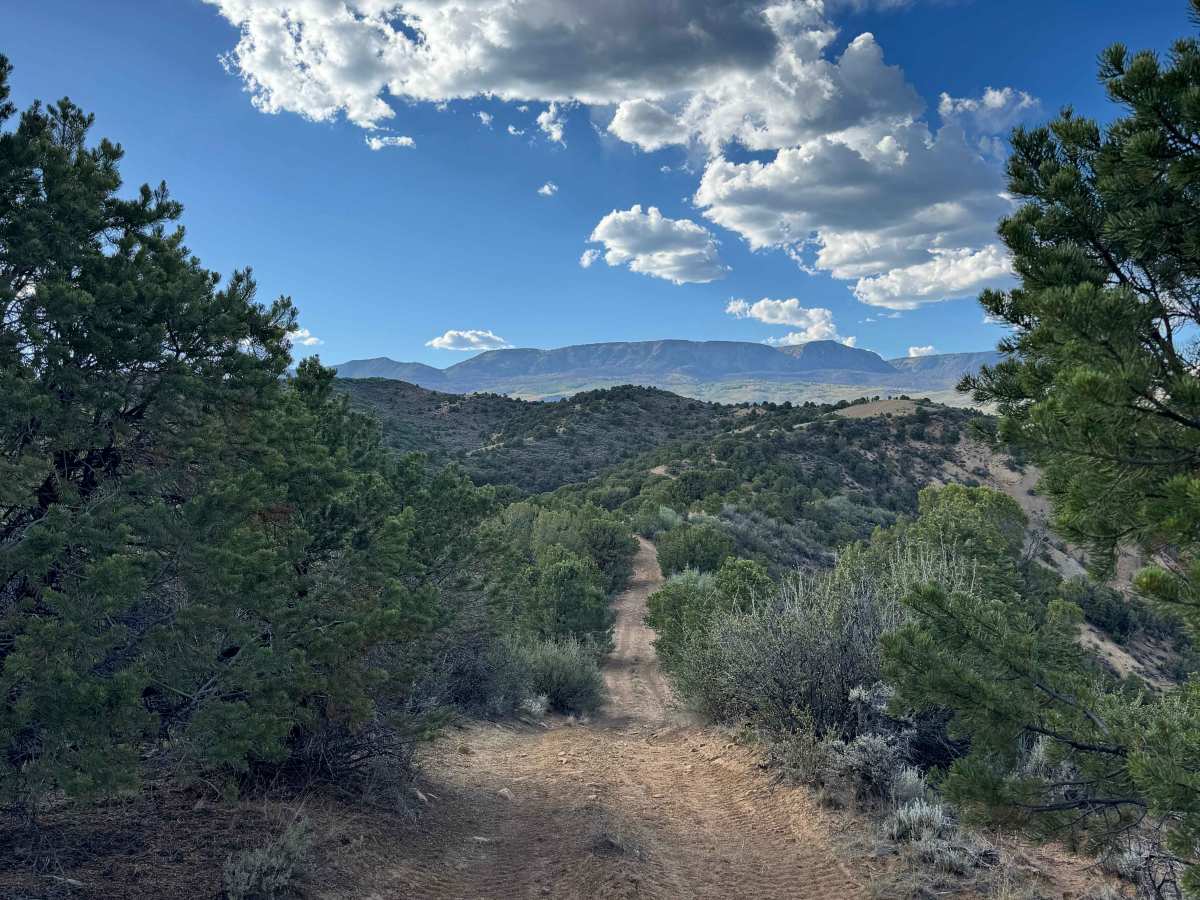
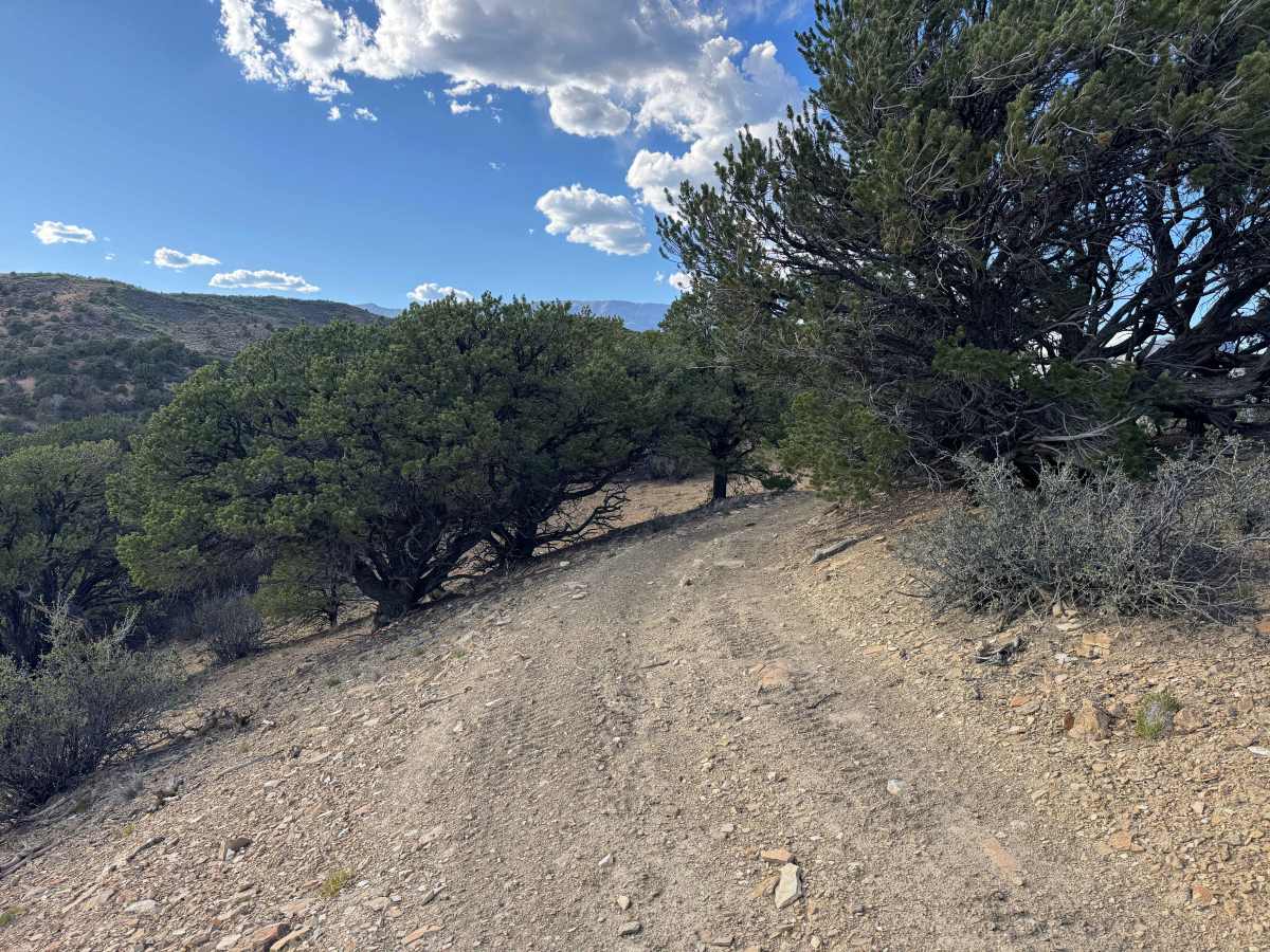
Connecting BLM Road 8252 and BLM Road 8253, this route offers one of the more challenging drives in the area. The trail follows a ridgeline in a continuous series of steep climbs and descents, repeatedly cresting high points before dropping into the valleys below. Many of the uphill sections are covered with loose rock and feature small ledges that require careful tire placement and make the route more demanding than neighboring trails. Along the way, you’ll be rewarded with outstanding panoramic views, numerous dispersed campsites, abundant wildlife, and frequent signs of deer throughout the area. Several overlooks also provide impressive views of the Colorado River Basin and the region’s distinctive red rock formations, making this a rewarding route for those seeking both a technical drive and exceptional scenery.
Difficulty
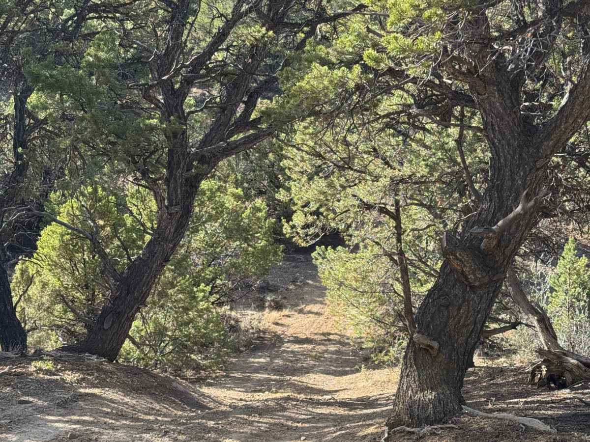
This trail is more challenging than the neighboring routes it connects and is best suited for high-clearance 4WD vehicles. Engaging 4WD is strongly recommended, and airing down your tires will significantly improve traction on the loose, rocky climbs. Several sections are narrow with closely spaced trees and low-hanging branches, making travel more difficult for full-size trucks and larger vehicles. While full-size vehicles are permitted, drivers should expect a few tight spots that require careful maneuvering to avoid body or paint damage.
History
The Hack Lake and Sheep Creek Uplands have a rich history of ranching, hunting, and outdoor recreation. For centuries, the area was used by the Ute people for seasonal hunting before becoming an important livestock grazing region in the late 1800s. Many of the roads found today originated as ranch and access routes. The area continues to be valued for its scenic landscapes, abundant wildlife, and excellent opportunities for hiking, hunting, fishing, and backcountry exploration.