Trail Overview
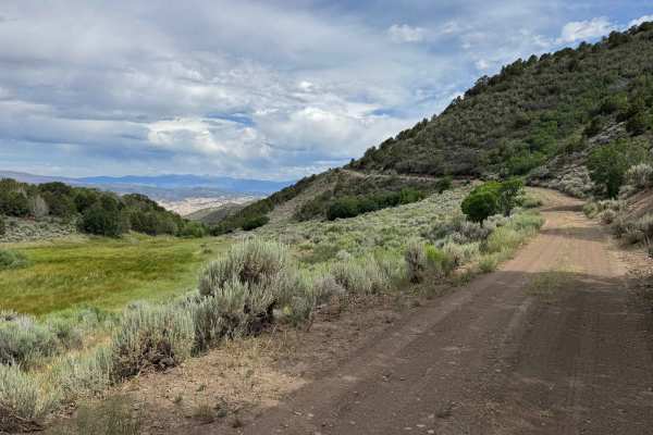
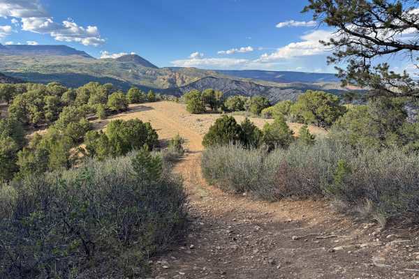
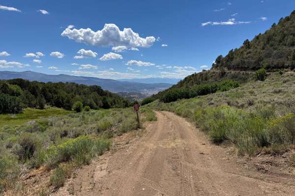
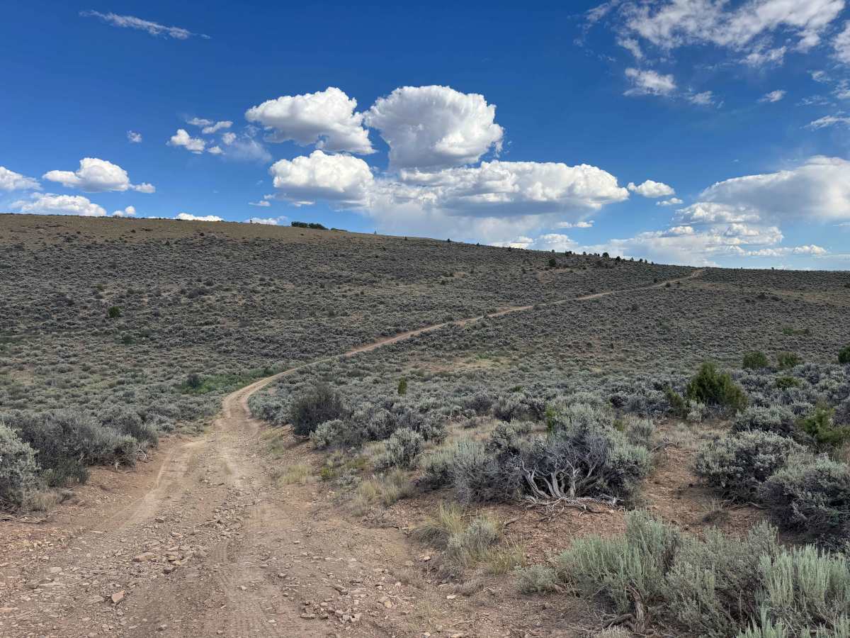
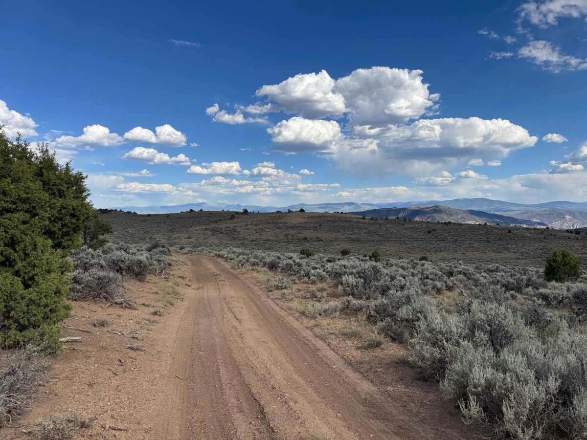
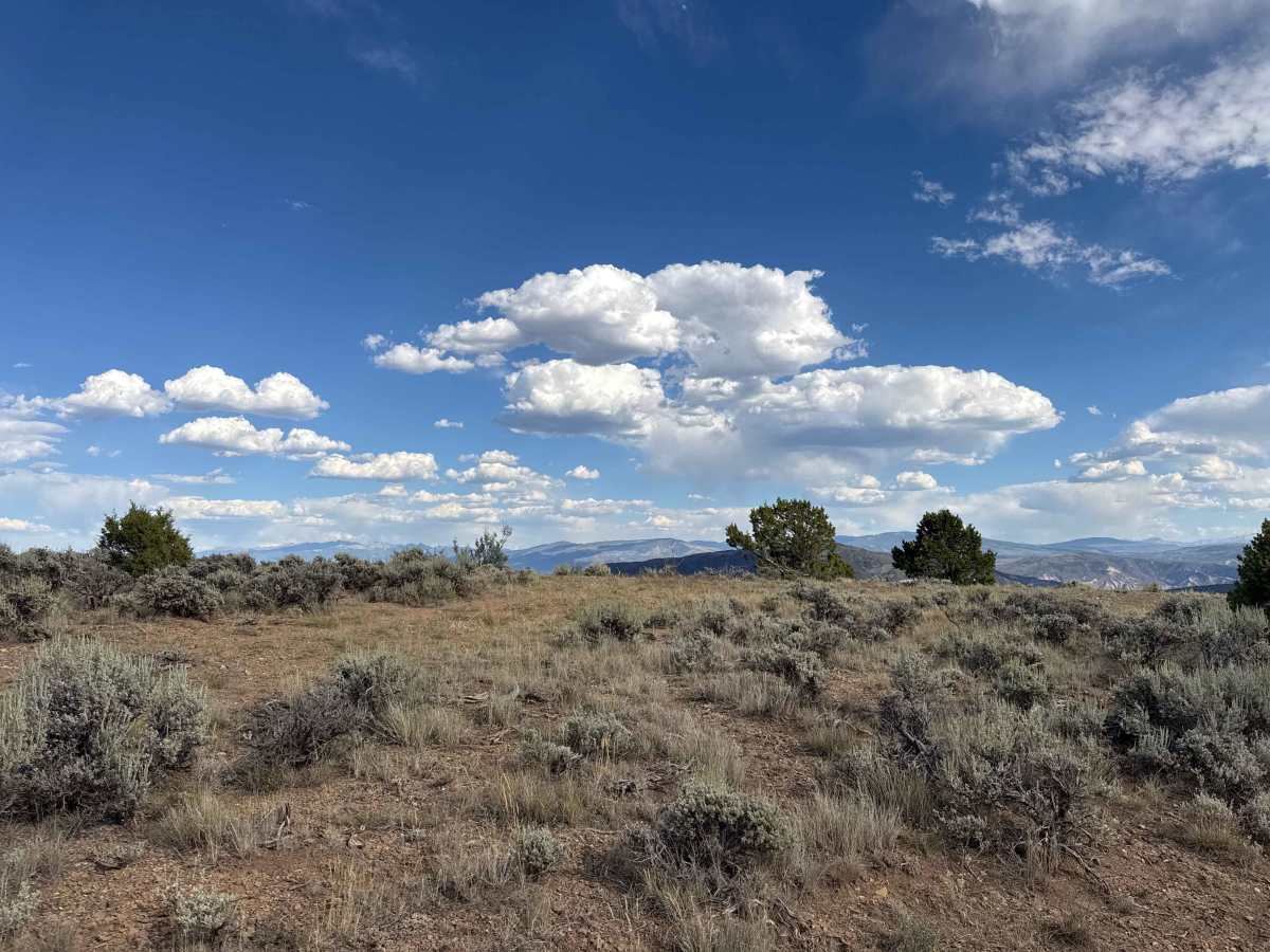
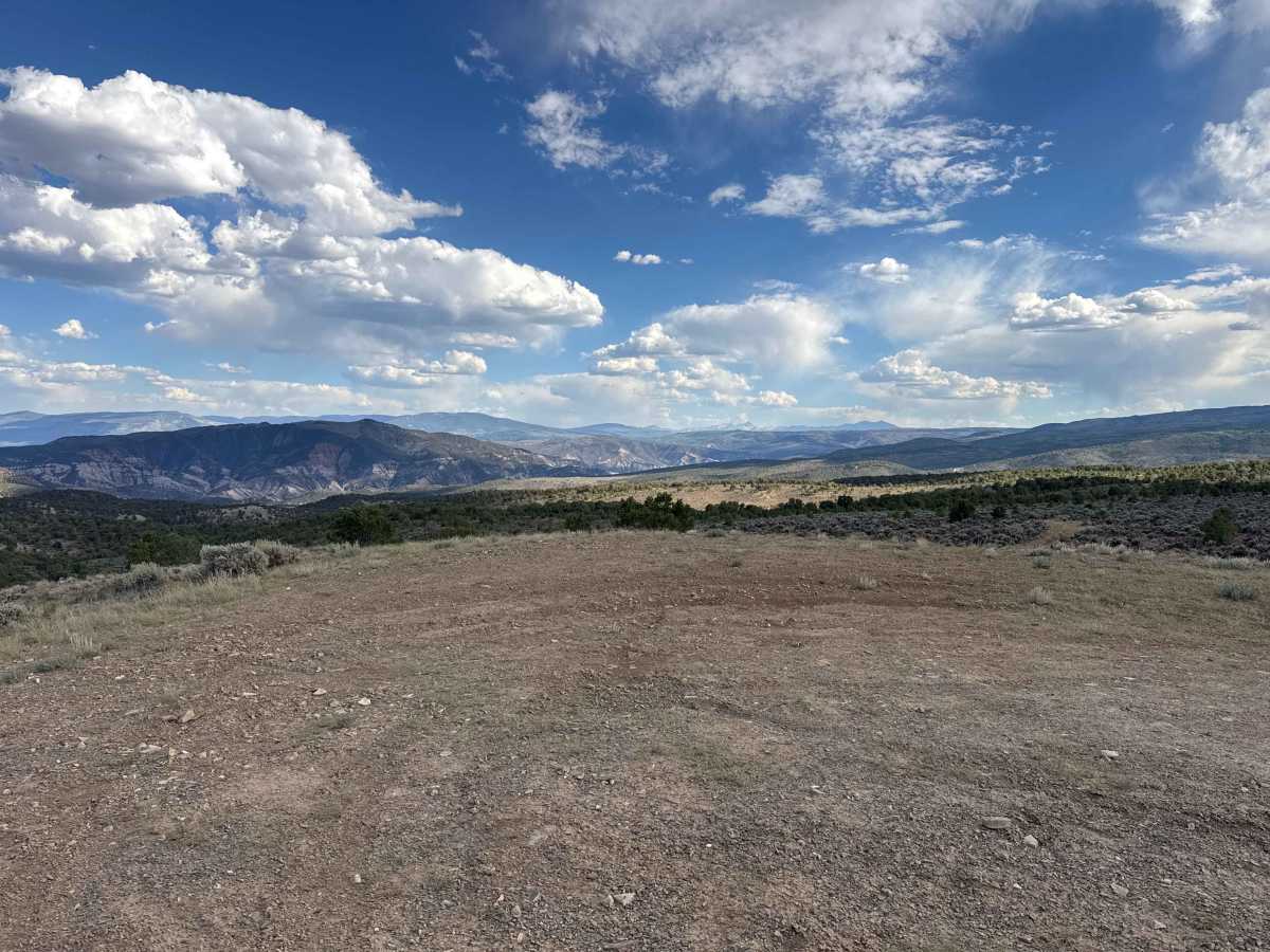
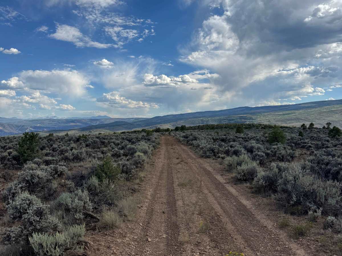
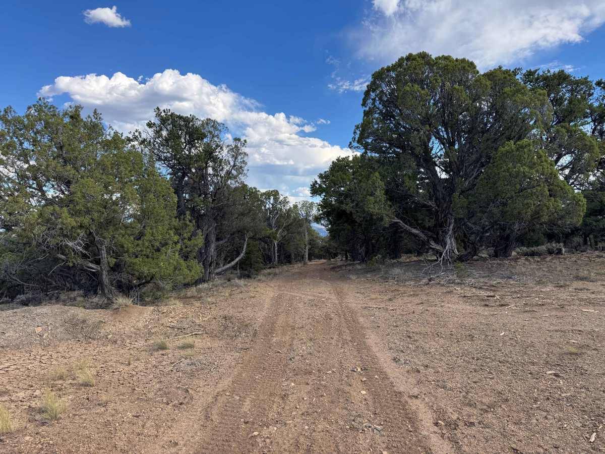
Branching off BLM Road 8452, this route begins with a gentle climb into the surrounding highlands, gradually ascending and descending over a series of rolling ridges. The first half of the trail is relatively easy, offering beautiful panoramic views, several excellent dispersed campsites, and a relaxing drive through open terrain. After passing the junction with BLM Road 8453F, the trail becomes more challenging, with steeper climbs and descents as it continues toward its endpoint high on the ridgeline. The effort is rewarded with spectacular viewpoints, additional scenic campsites, and outstanding opportunities to enjoy the rugged beauty of the surrounding landscape.
Difficulty
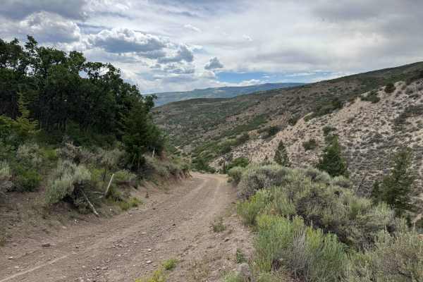
This trail is not especially difficult in dry conditions, but most drivers will want to engage 4WD to comfortably complete the route. Expect several deep ruts, off-camber sections, and numerous water bars that require good ground clearance and careful tire placement. Vehicles equipped with 35-inch tires should have no trouble clearing the obstacles, while smaller tires may require slower speeds and more precise line selection in a few locations.
History
Sweetwater Canyon and Sweetwater Lake have long been important landmarks in western Colorado. For centuries, the area was used by the Ute people for seasonal hunting, fishing, and travel through the surrounding mountains. During the late 1800s, ranchers and settlers established cattle operations throughout the valley, and many of today’s roads began as ranch and livestock routes. Sweetwater Lake later became a popular destination for fishing, camping, hiking, and horseback riding, while the surrounding canyon remains known for its scenic beauty, abundant wildlife, and rich ranching heritage.