Trail Overview
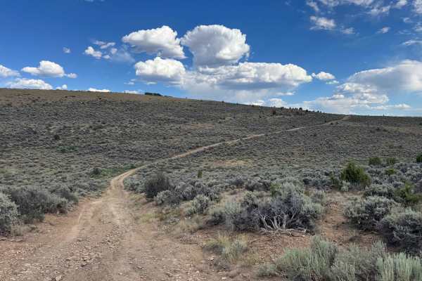
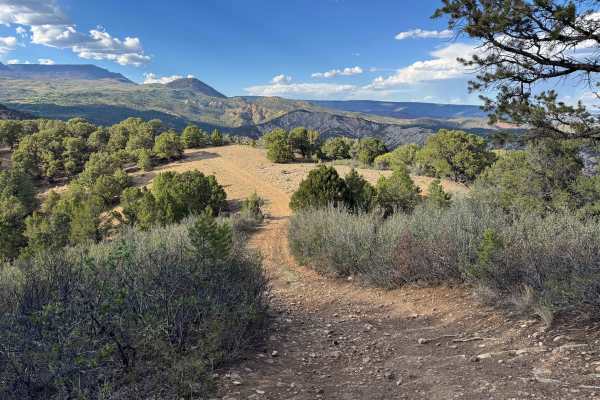
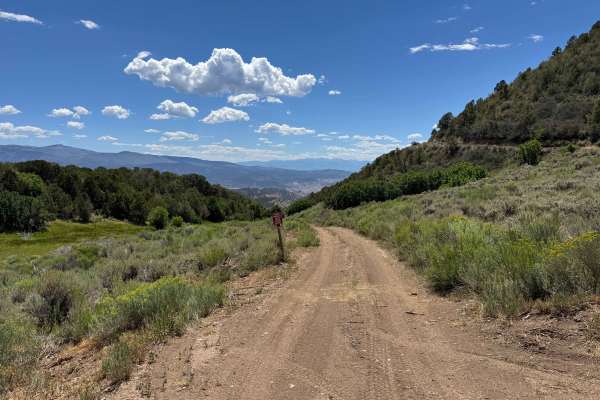
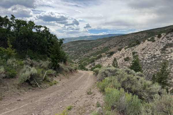
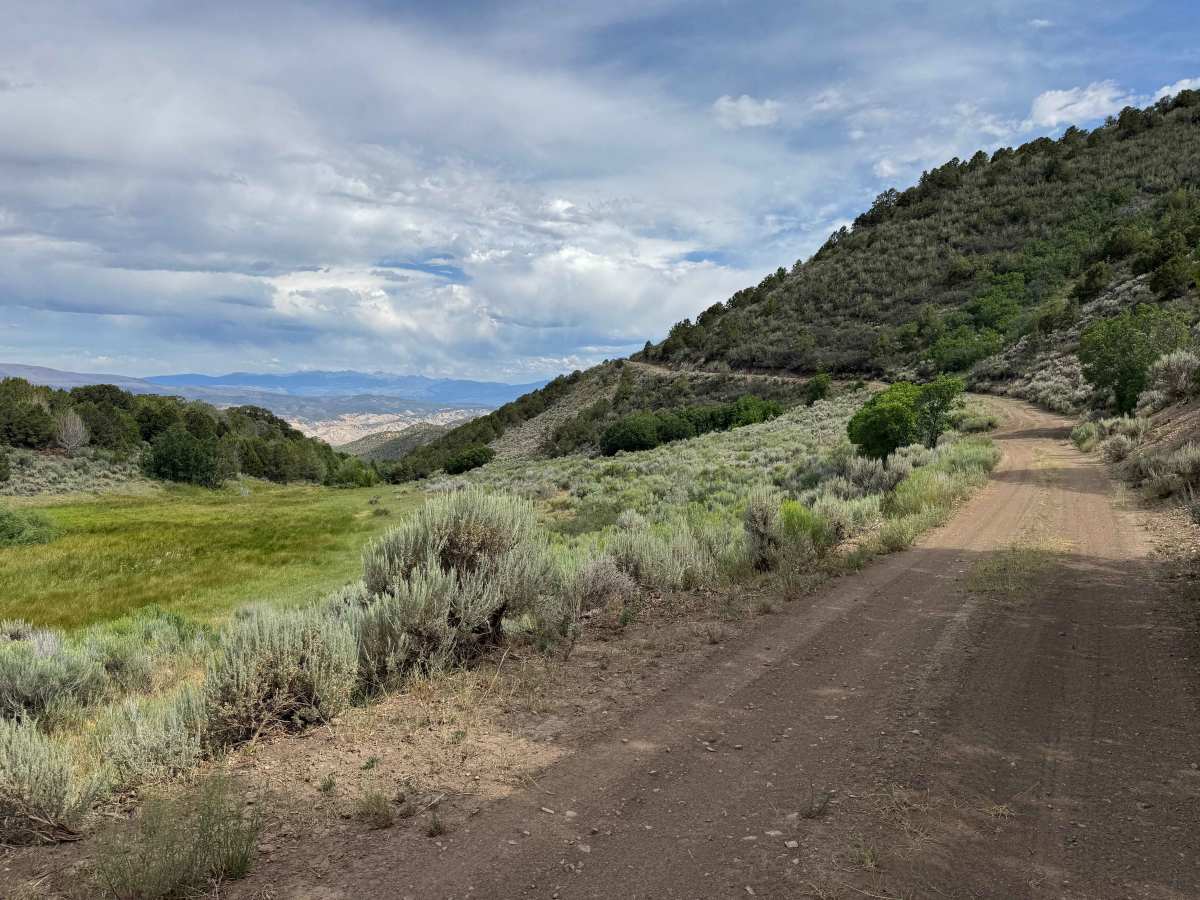
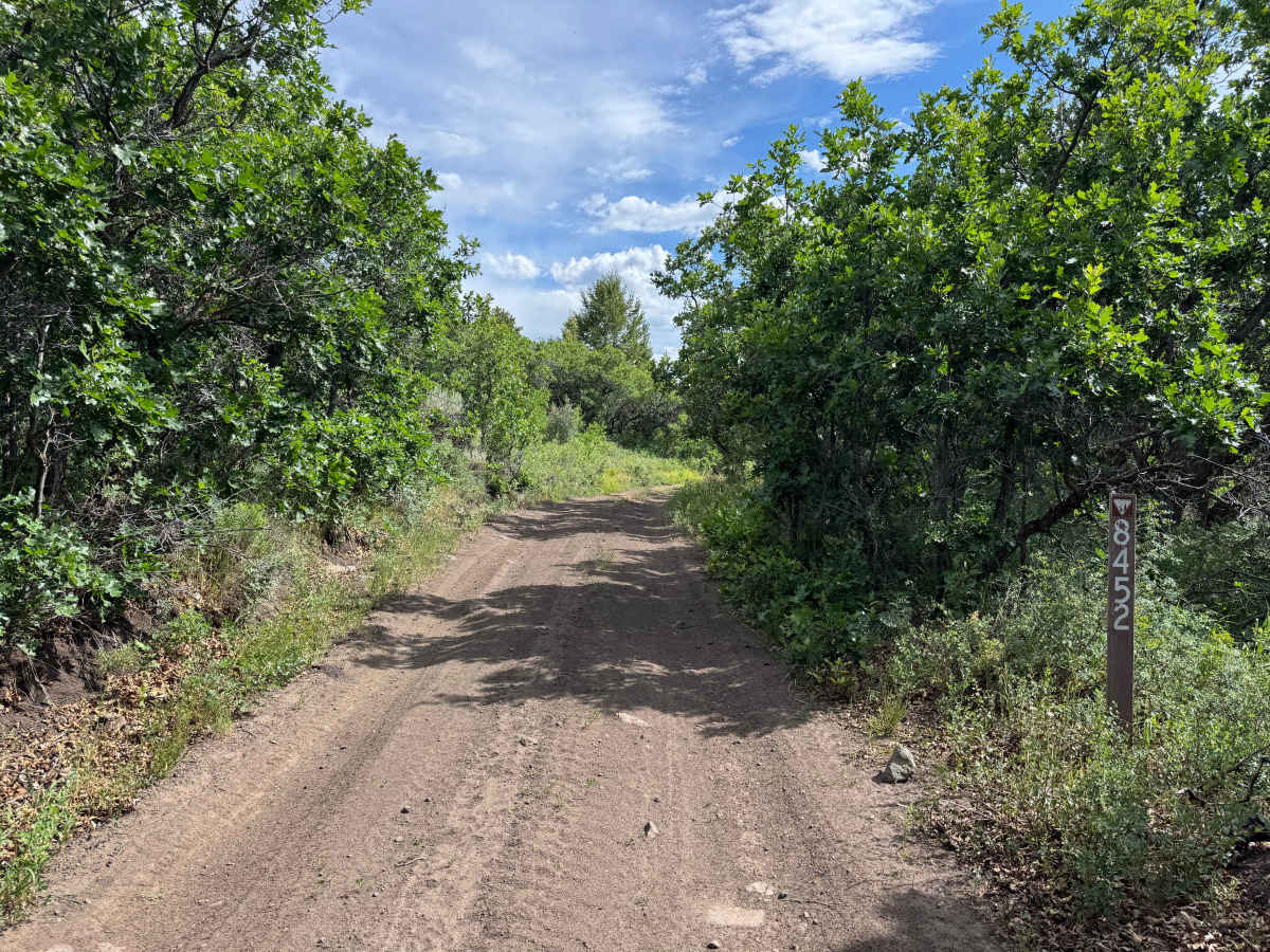
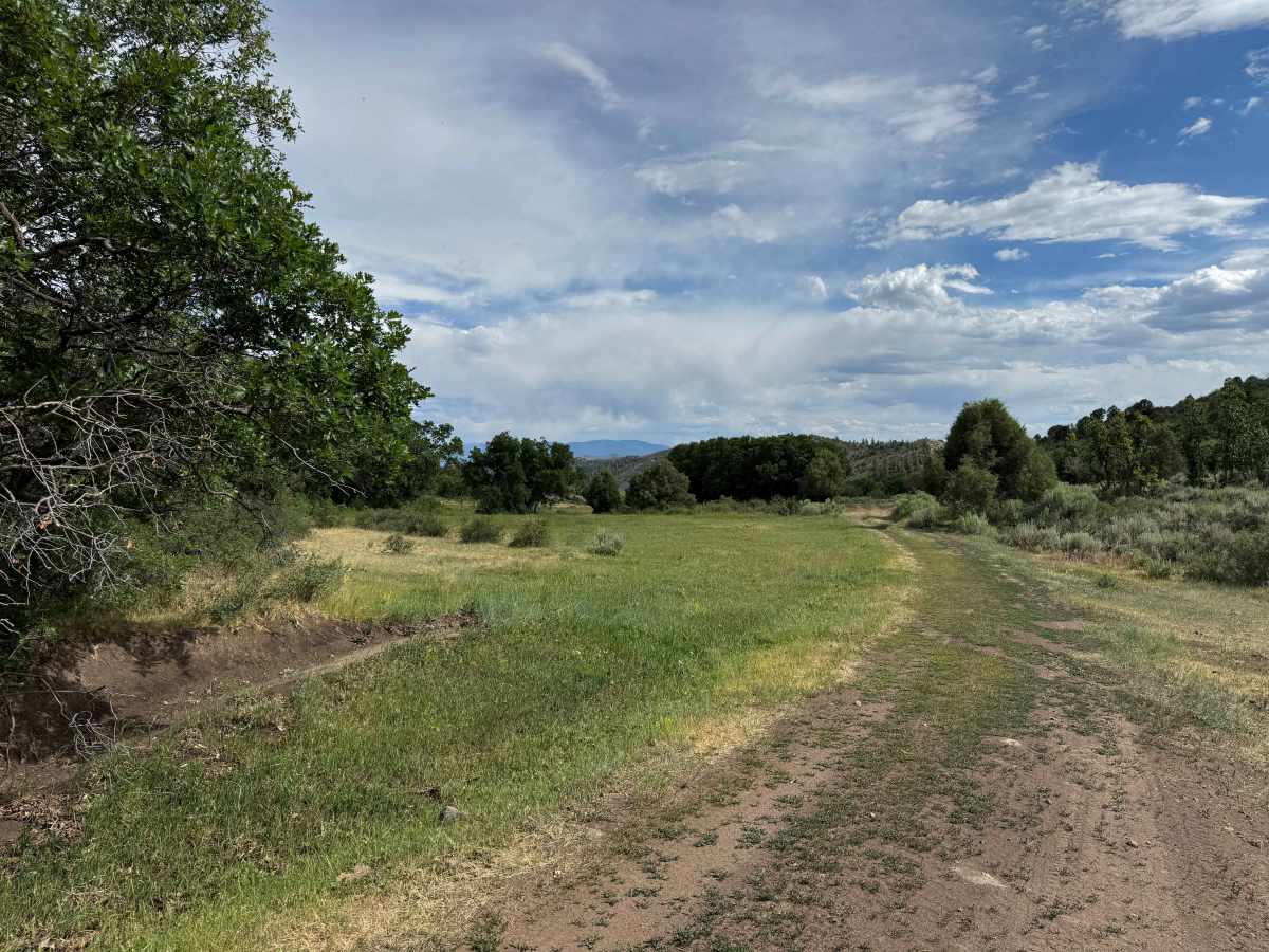
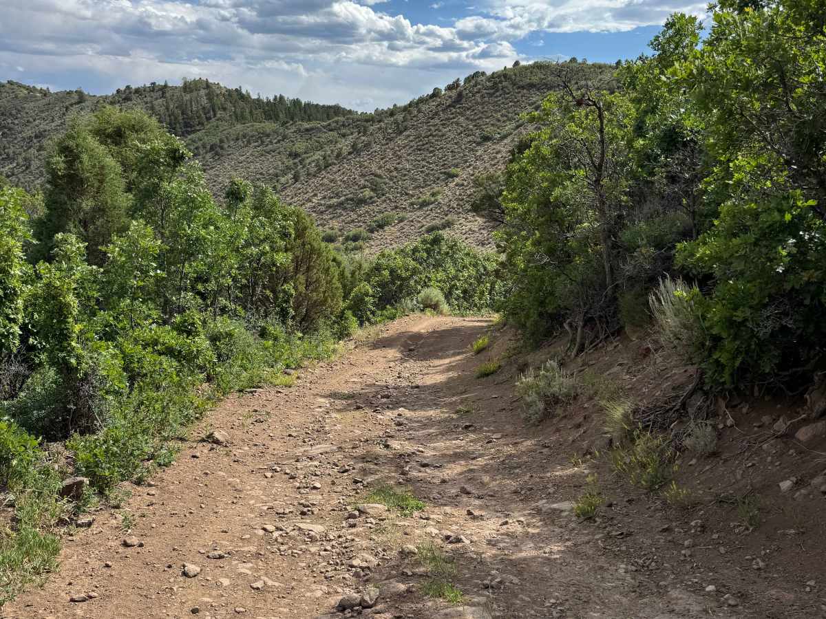
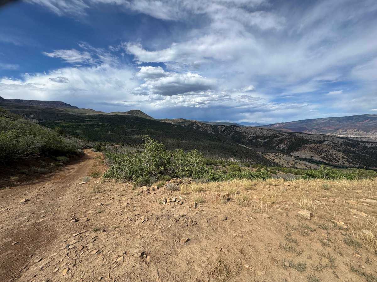
From the north, this BLM trail follows BLM Road 8450 as it descends approximately 500 feet into a picturesque valley filled with lush green meadows and passes through the Dotsero Wildlife Area. Several sections contain deep ruts that can become extremely muddy after rain or during spring runoff, so use extra caution when conditions are wet. Wildlife is abundant throughout the area, with deer being a common sight along with a variety of other species. After winding through the valley, the route climbs 400–500 feet back to higher ground on a scenic series of well-graded shelf-road switchbacks. Although the climb offers impressive views of the surrounding landscape, the road is wide with relatively mild exposure, making it far less intimidating than many mountain shelf roads. At the summit, you’ll be rewarded with spectacular 360-degree panoramic views of the surrounding mountains, valleys, and high desert landscape. From there, the trail begins a gradual descent back into the valley before reconnecting with BLM Road 8450, completing a scenic loop through the Dotsero Wildlife Area.
Difficulty
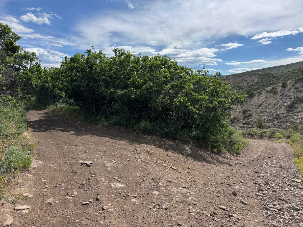
This road is not particularly difficult under dry conditions, but it does include several moderate sections with loose rock and a few larger rock obstacles that require careful tire placement and slow, deliberate driving. A high-clearance 4WD vehicle is recommended, and airing down your tires will improve traction, ride quality, and overall vehicle control on this type of terrain. Keep in mind that the difficulty increases significantly when the trail is wet, as rain or snow can make the loose rock and steeper sections much more challenging.
History
The Hack Lake and Sheep Creek Uplands area has a long history of ranching, hunting, and backcountry recreation in northwest Colorado. Long before European settlement, the region was used seasonally by the Ute people, who traveled through these mountains to hunt elk, deer, and bighorn sheep while gathering native plants. During the late 1800s and early 1900s, ranchers established grazing operations throughout the Sweetwater and Sheep Creek drainages, and many of the roads that exist today began as livestock and access routes. Hack Lake eventually became a popular destination for hikers, horse packers, hunters, and anglers because of its scenic alpine setting on the edge of the Flat Tops. In 1980, the surrounding Hack Lake area was designated a Bureau of Land Management Wilderness Study Area to preserve its rugged character, diverse wildlife habitat, and outstanding recreational opportunities. Today, the Sheep Creek Uplands remain an important landscape for livestock grazing, wildlife conservation, and outdoor recreation, providing habitat for elk, mule deer, black bears, mountain lions, bighorn sheep, and several sensitive native plant species while maintaining the area’s rich ranching and wilderness heritage.