Trail Overview
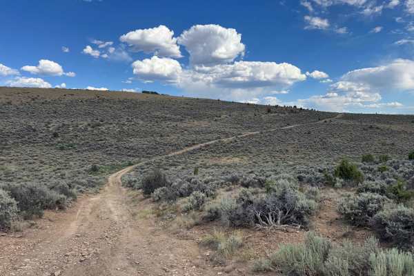
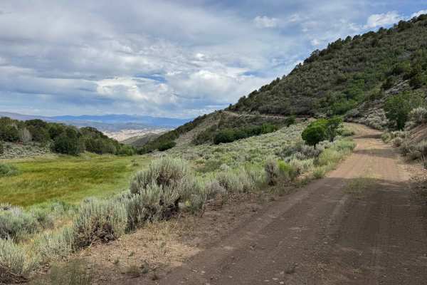
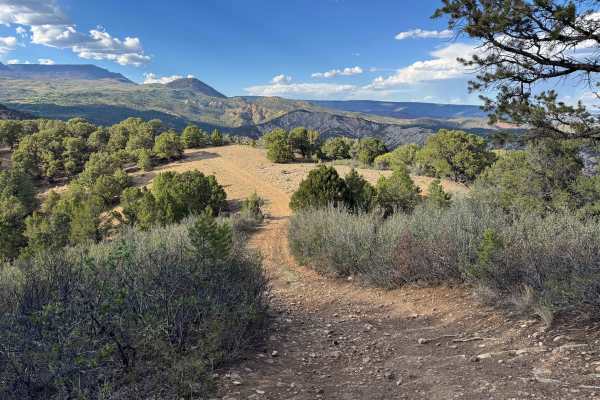
Beginning at Sweetwater Road, this scenic route climbs steadily along a fairly steep grade before ending at the Hack Lake Trail. At an early fork, you’ll leave BLM Road 8450 and follow the designated one-way uphill route, which helps improve safety on the narrow mountain road. This section also contains several low-hanging branches that may contact larger expedition vehicles or those towing trailers, so carrying a handsaw is recommended if you’re traveling in a full-size vehicle. While it is possible to approach from the opposite direction, a narrow quarter-mile section offers very few places for oncoming vehicles to pass, making the designated uphill route the preferred option. Along the way, the scenery transitions from dry, rocky climbs to lush meadows and cool, forested sections, creating a surprisingly green landscape even in the middle of summer. Wildlife is abundant, with deer commonly seen and frequent opportunities to spot elk, bighorn sheep, black bears, and other native species. Although the main route is an out-and-back drive, several connecting trails provide additional opportunities to explore alternate routes on the scenic drive back down.
Difficulty
Although this route is not especially difficult in dry conditions, it does include several steep sections with loose rock and a number of deep water bars that require careful tire placement and reduced speeds. A high-clearance 4WD vehicle is recommended and should be used whenever available. Airing down your tires can improve traction and ride comfort, and carrying a portable air compressor along with basic recovery gear is always a smart precaution when traveling in these remote backcountry areas.
History
The Hack Lake and Sheep Creek Uplands area has a long history of ranching, hunting, and backcountry recreation in northwest Colorado. Long before European settlement, the region was used seasonally by the Ute people, who traveled through these mountains to hunt elk, deer, and bighorn sheep while gathering native plants. During the late 1800s and early 1900s, ranchers established grazing operations throughout the Sweetwater and Sheep Creek drainages, and many of the roads that exist today began as livestock and access routes. Hack Lake eventually became a popular destination for hikers, horse packers, hunters, and anglers because of its scenic alpine setting on the edge of the Flat Tops. In 1980, the surrounding Hack Lake area was designated a Bureau of Land Management Wilderness Study Area to preserve its rugged character, diverse wildlife habitat, and outstanding recreational opportunities. Today, the Sheep Creek Uplands remain an important landscape for livestock grazing, wildlife conservation, and outdoor recreation, providing habitat for elk, mule deer, black bears, mountain lions, bighorn sheep, and several sensitive native plant species while maintaining the area’s rich ranching and wilderness heritage.