Trail Overview
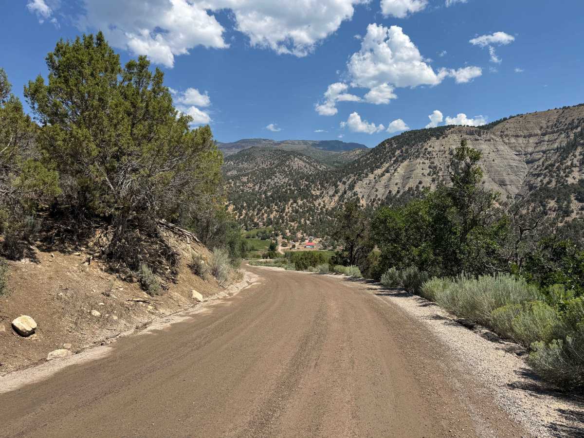
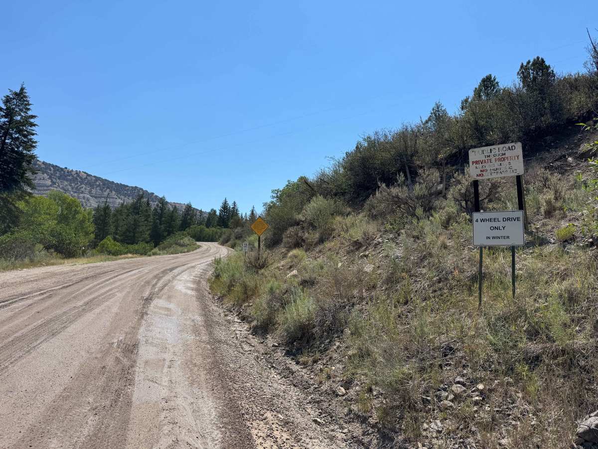
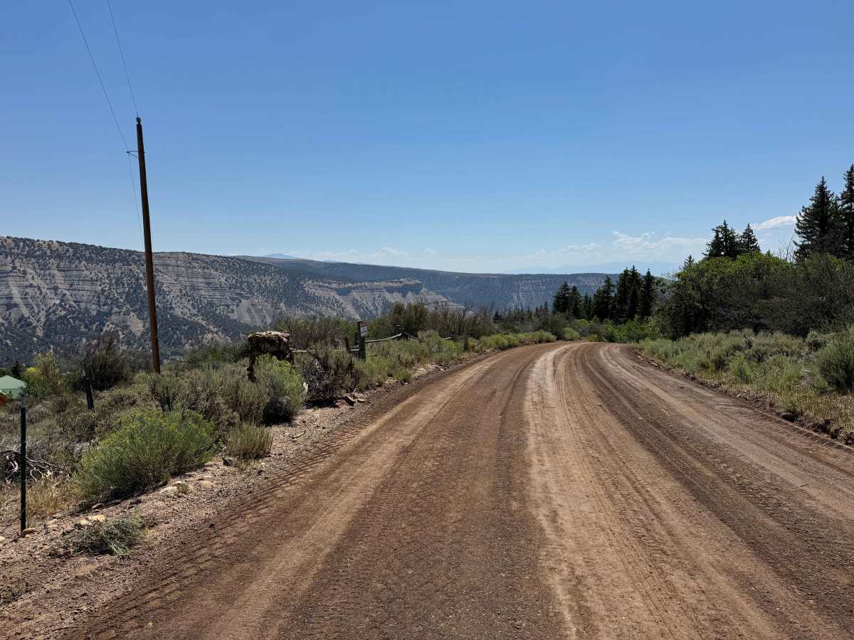
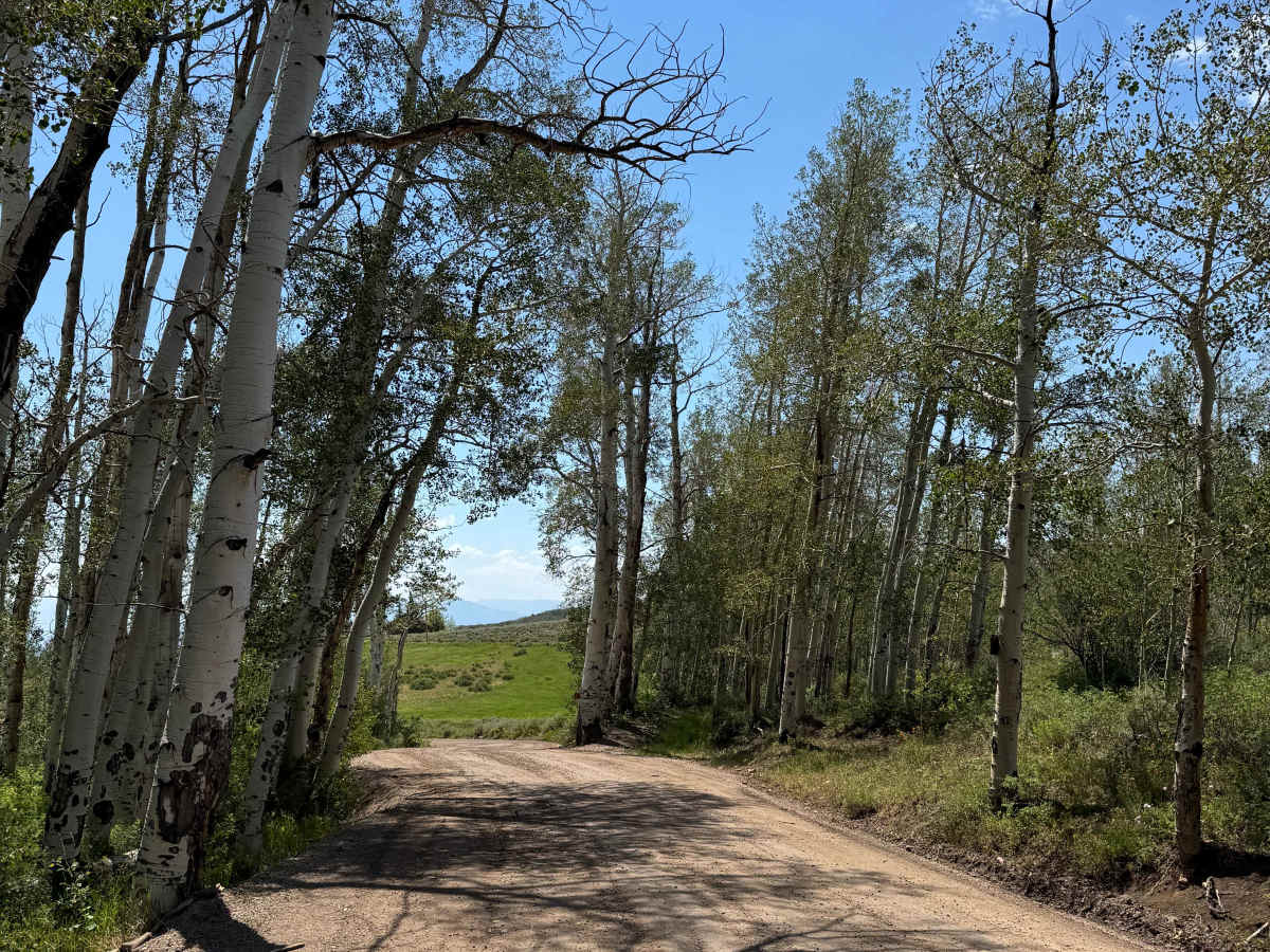
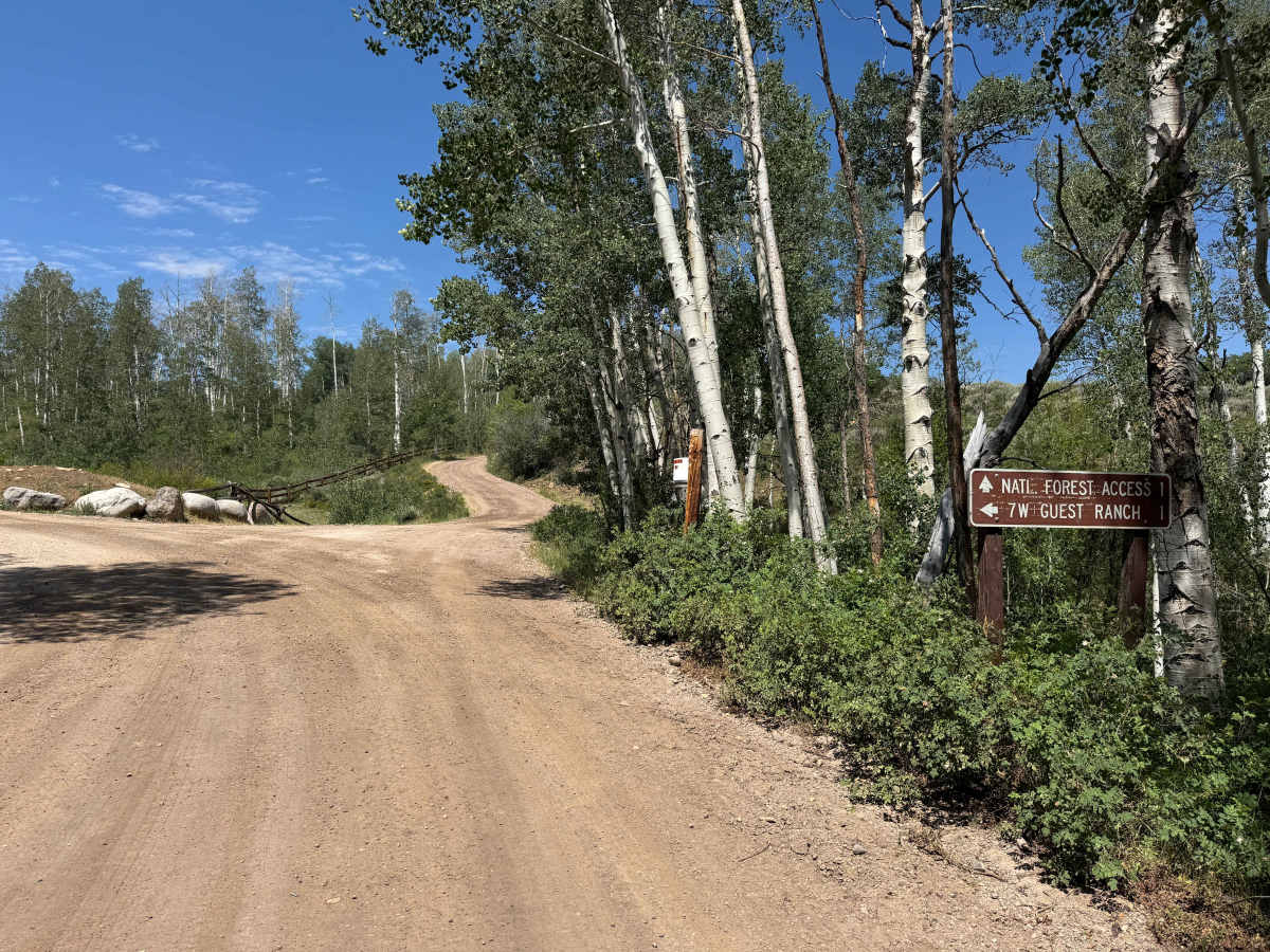
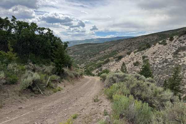
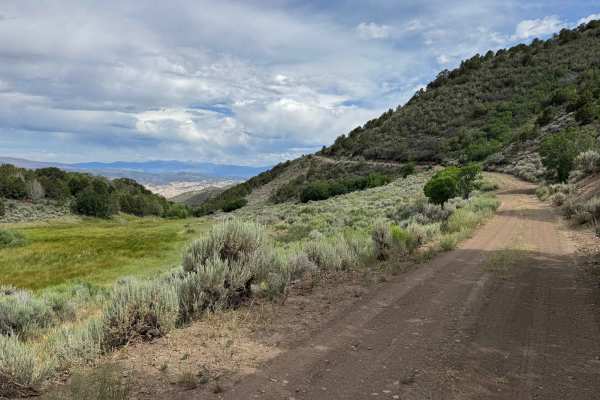
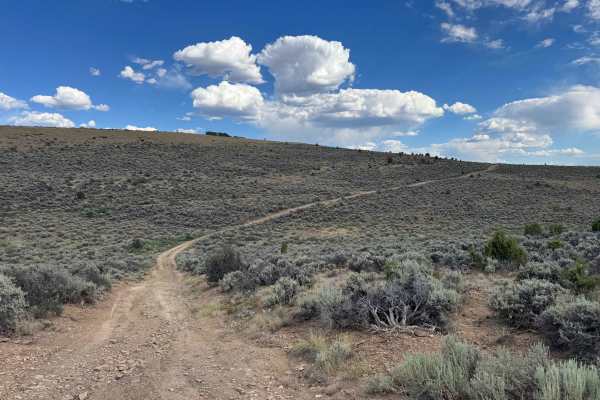
This route follows a smooth, well-graded, and exceptionally well-maintained road that provides access to several private residences before continuing to the edge of the national forest. Although the route is maintained to a very high standard and is easily driven in dry conditions, posted signs indicate that 4WD is required during the winter. The road is also designated for street-legal vehicles only, so motorcycles, SxSs, and ATVs are not legally permitted. The drive is remarkably scenic, offering beautiful forest and mountain views before ending at a closed gate marking the beginning of the National Forest road. Motorized travel is permitted for approximately the first half mile beyond the gate, after which the route reaches the designated non-motorized boundary, where hiking, mountain biking, and other non-motorized recreation continue into the backcountry.
Difficulty
This is a smooth, hard-packed gravel road that is easily passable by virtually any vehicle in dry conditions. However, posted signs at the beginning of the route state that 4WD is required when traveling uphill to help prevent road damage and maintain traction on the climb.
History
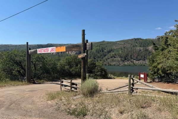
Sweetwater Canyon and Sweetwater Lake have long been important landmarks in western Colorado. For centuries, the area was used by the Ute people for seasonal hunting, fishing, and travel through the surrounding mountains. During the late 1800s, ranchers and settlers established cattle operations throughout the valley, and many of today’s roads began as ranch and livestock routes. Sweetwater Lake later became a popular destination for fishing, camping, hiking, and horseback riding, while the surrounding canyon remains known for its scenic beauty, abundant wildlife, and rich ranching heritage.