Trail Overview
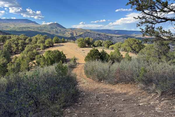
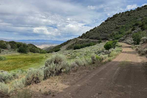
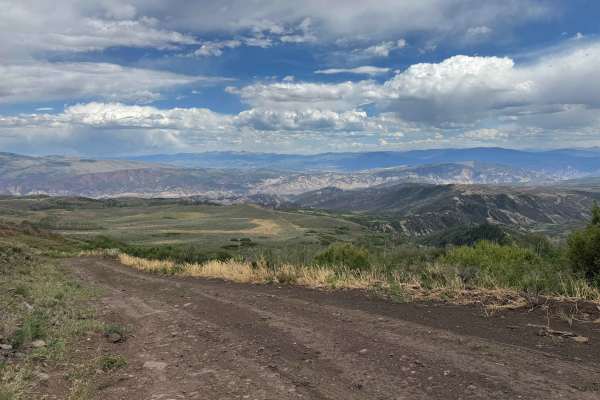
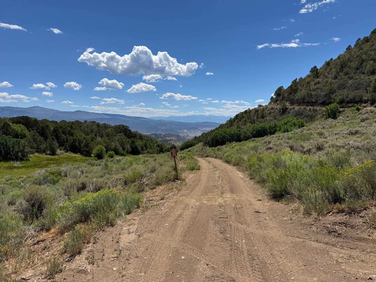
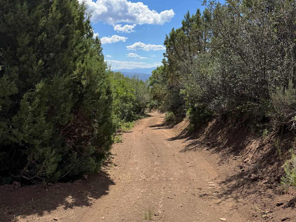
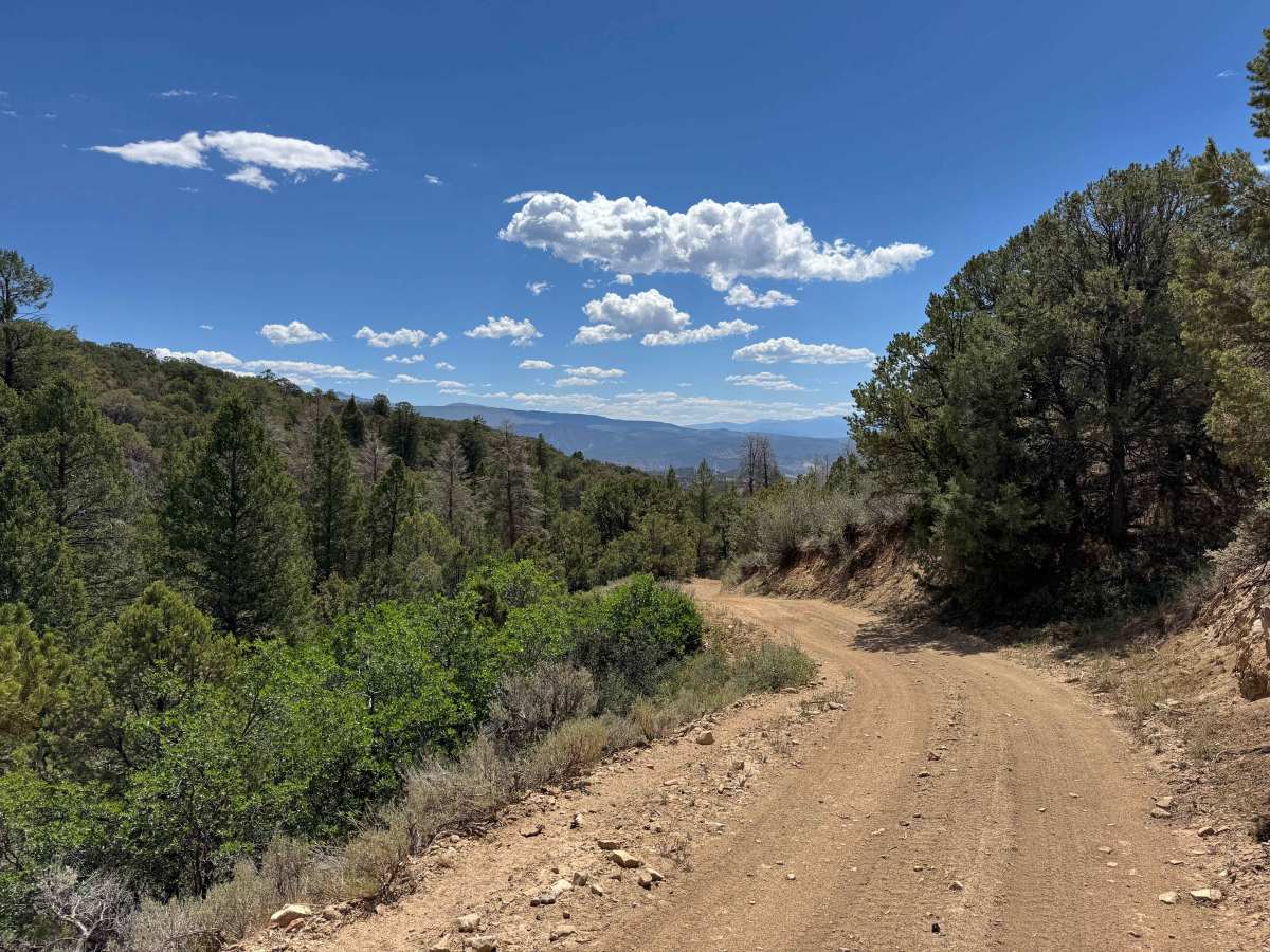
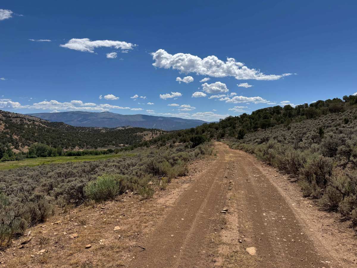
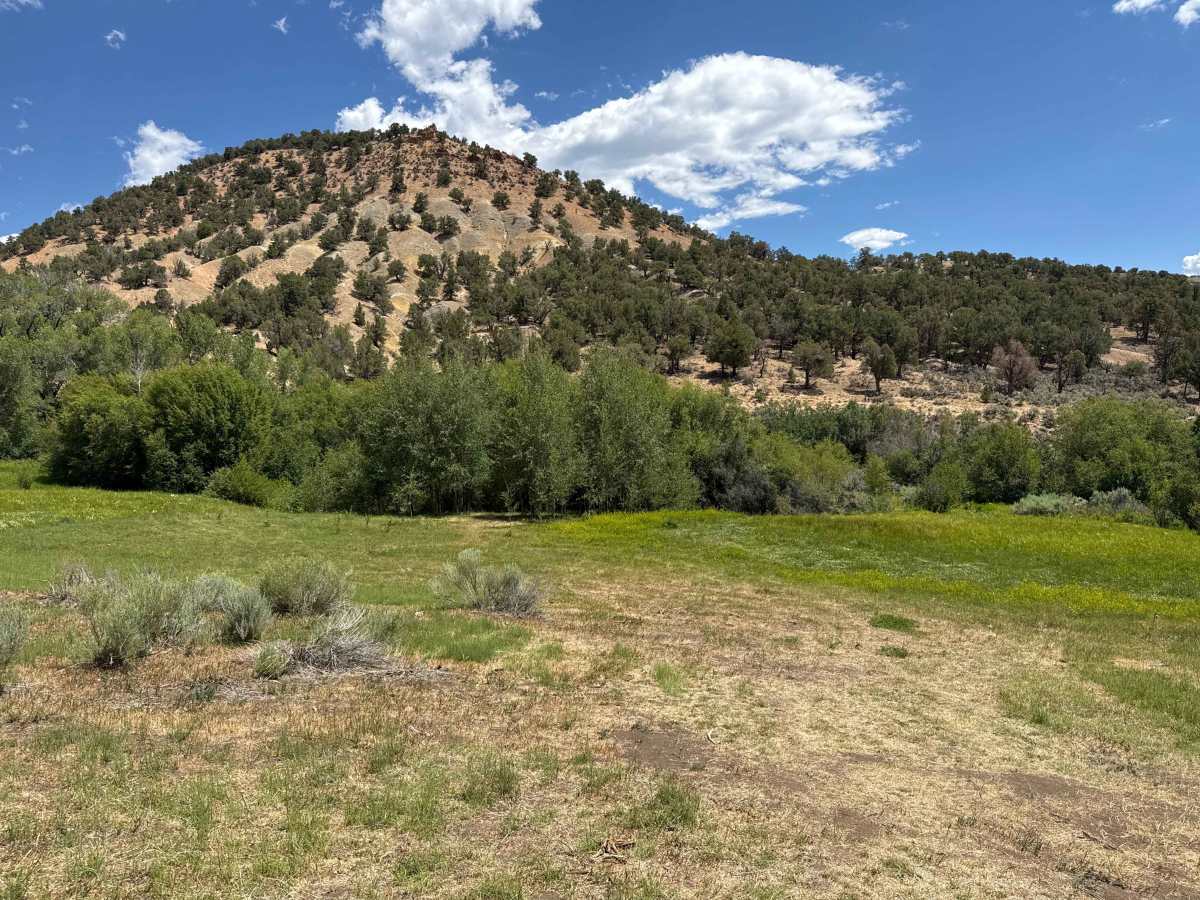
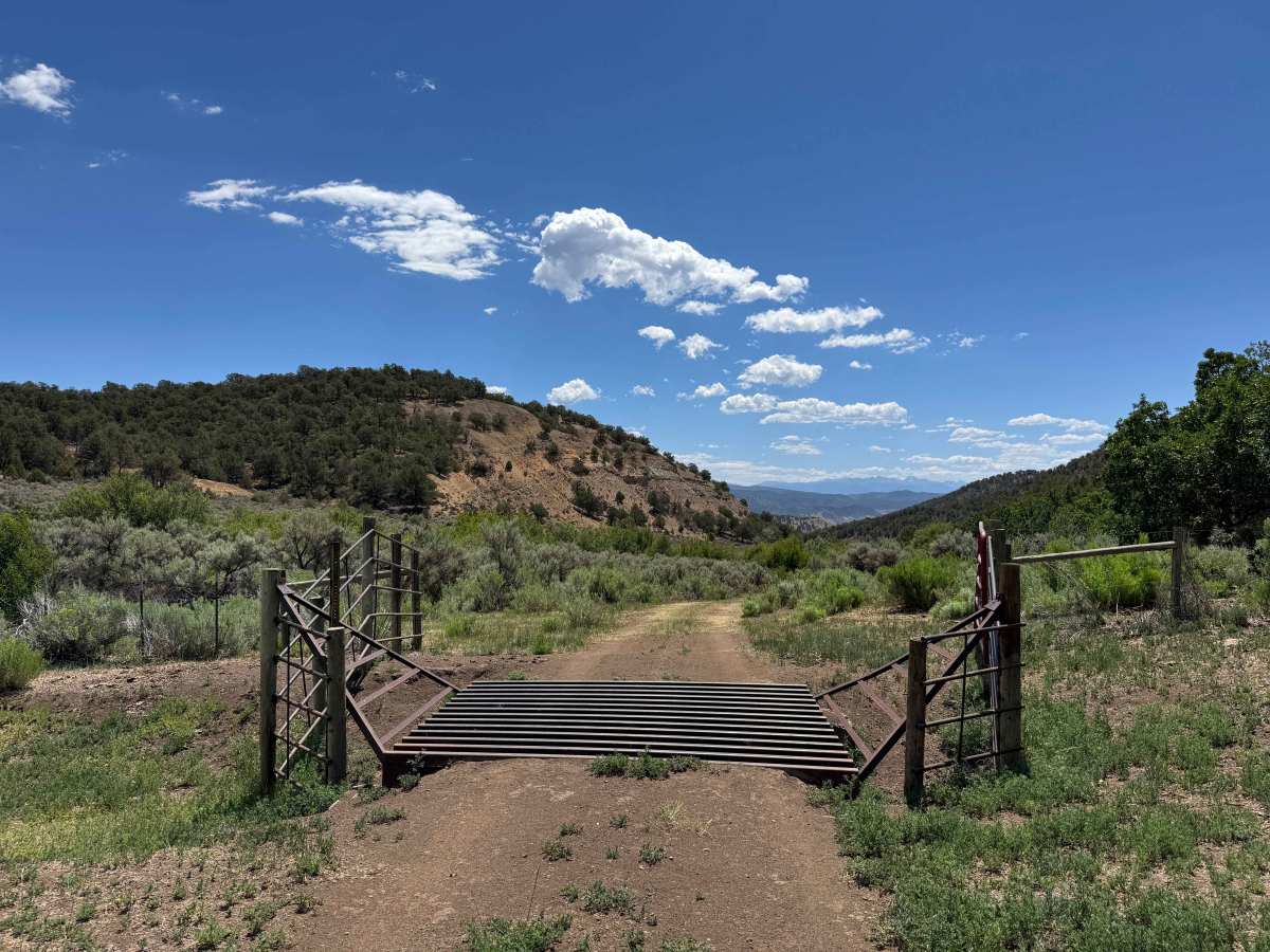
Beginning at BLM Road 8452, this trail descends steeply through a series of switchbacks before entering a scenic canyon that follows a seasonal creek. The upper portion of the route is typically dry and dusty, but the canyon floor offers a welcome contrast with its cooler temperatures, shaded terrain, and lush vegetation. After crossing the creek, the trail continues on a gentler grade as it gradually descends toward the Colorado River. Although you’ll enjoy impressive views of the river and the highway far below, the route ends before reaching private property and does not provide access to either. Several dispersed campsites can be found along the way, and wildlife sightings are common, especially deer and other native animals in the valley and on the surrounding hillsides during the early morning and evening hours. While the drive in is relatively straightforward, remember that the return trip is a sustained uphill climb, and engaging 4WD is often necessary for the ascent, even if it wasn’t required on the way down.
Difficulty
This trail is not especially difficult in dry conditions, and if you’ve reached this point, you’ve already successfully navigated similar sections of loose rock and moderately steep terrain. Keep in mind, however, that this is an out-and-back route, as indicated by signs along the trail, and the return trip requires a sustained uphill climb. Engaging 4WD and airing down your tires is strongly recommended to improve traction and make the ascent safer and more controlled.
History
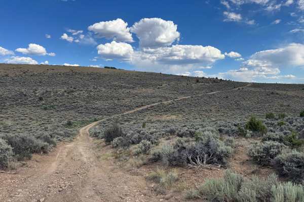
The Hack Lake and Sheep Creek Uplands have a rich history of ranching, hunting, and outdoor recreation. For centuries, the area was used by the Ute people for seasonal hunting before becoming an important livestock grazing region in the late 1800s. Many of the roads found today originated as ranch and access routes. The area continues to be valued for its scenic landscapes, abundant wildlife, and excellent opportunities for hiking, hunting, fishing, and backcountry exploration.