Trail Overview
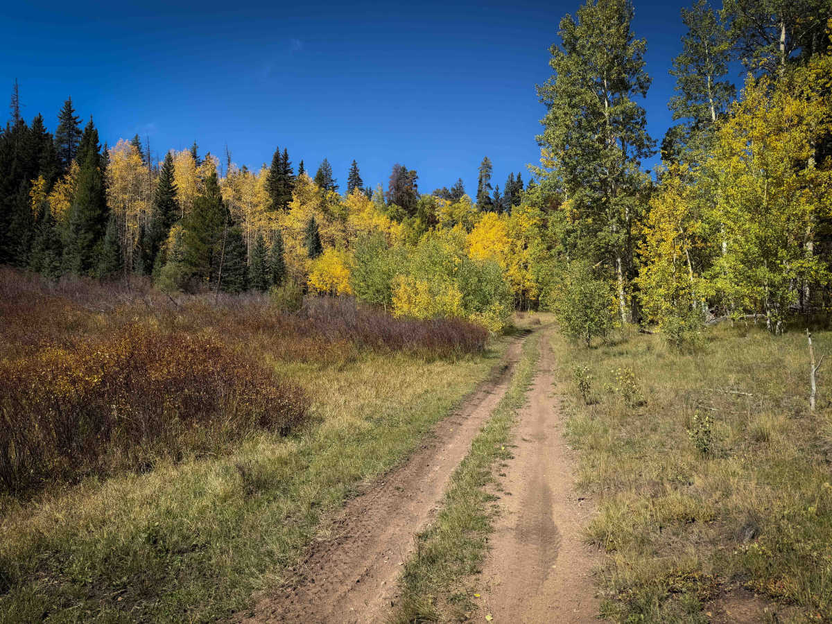
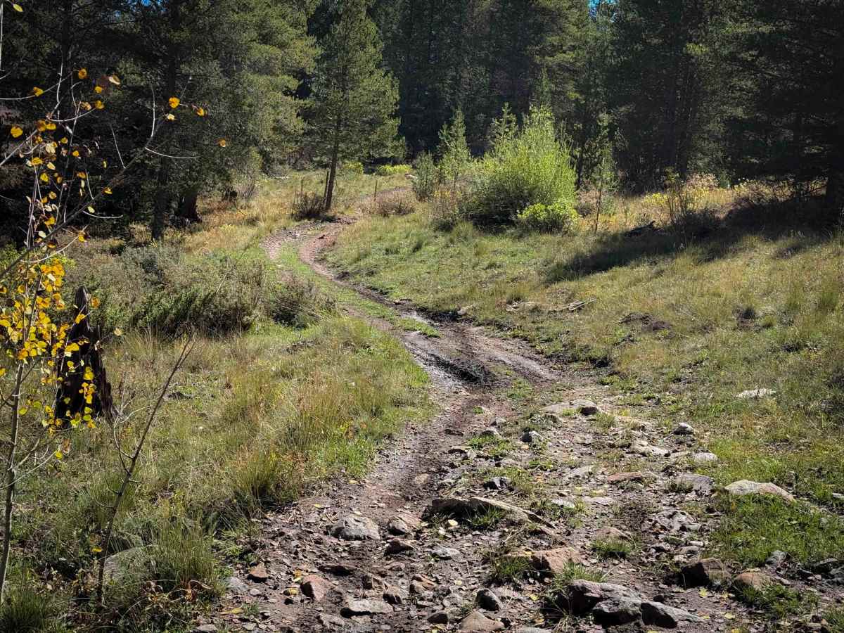
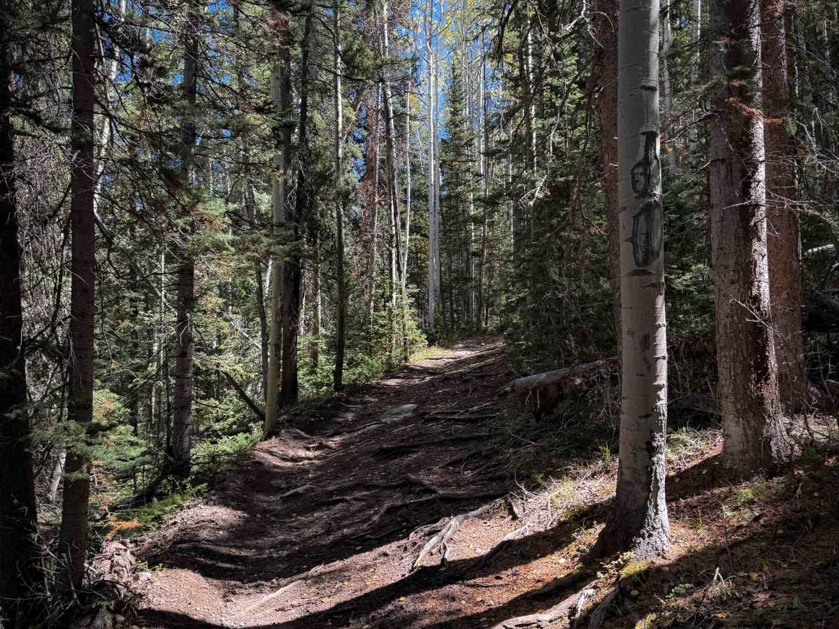
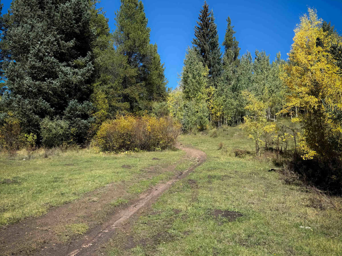
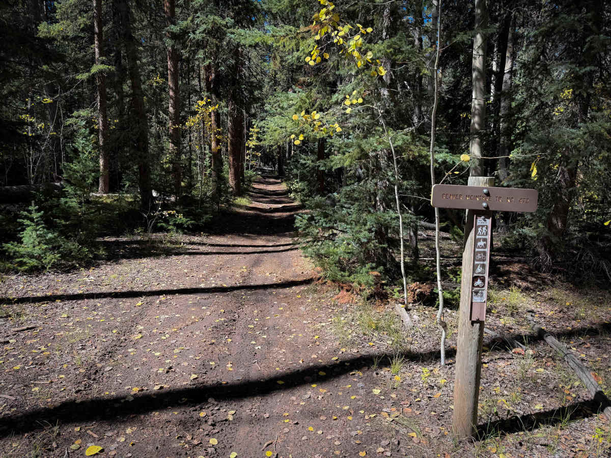
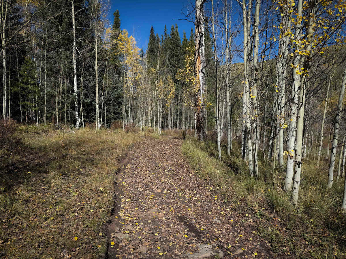
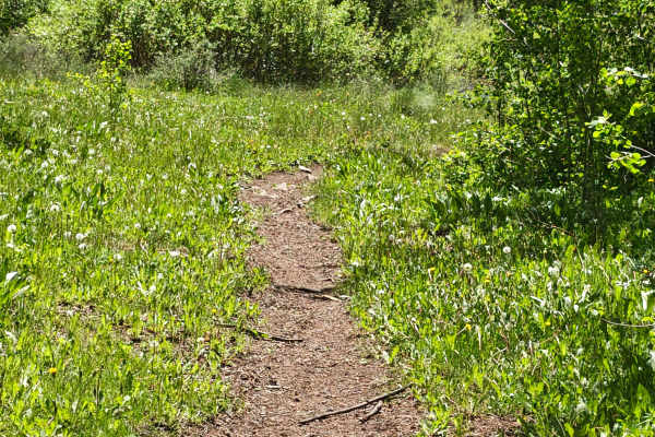
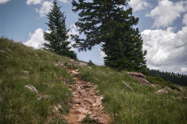
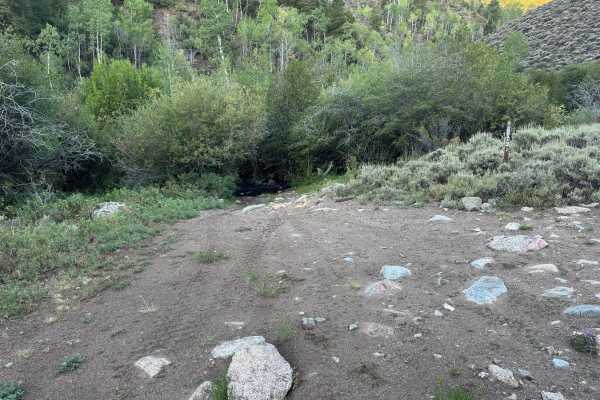
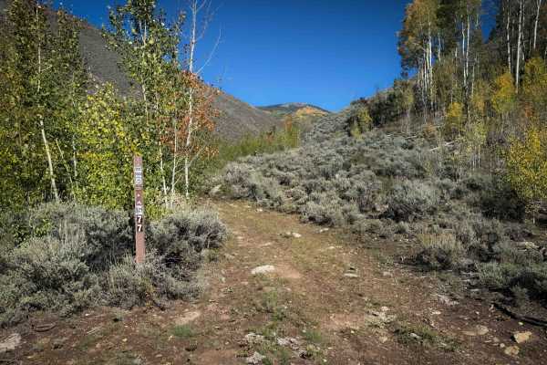
Trail 472 is a 2.4-mile-long easy ATV route through the Gunnison National Forest near Ohio City, Colorado. The south end of the trail starts off the McIntyre Gulch Singletrack, starting as a dirt two-track through scenic high alpine meadows lined with aspen groves and sagebrush. The trail flows along the base of several open hillsides, then weaves tightly through a pine forest. There are several larger downed logs in the forest section that ATV riders will need to cut in order to pass, but dirt bikers can probably go over. Expect lots of slick roots diagonally across the trail, mud puddles, and muddy ruts in the forest section as well. The trail has intermittent small embedded rocks that add some texture, but are not difficult to ride over. As it goes northwest, it goes through more scenic aspen groves and starts descending gradually down to FS 586.
Difficulty
This is an easy trail due to the fact that the trail remains very gradual throughout the 2.4 miles. It has intermittent embedded rocks and lots of slippery roots, but does not have any major obstacles or ledges. This trail will likely have a few downed logs that will need to be cut in order for ATVs to pass. Overall, it’s very easy, with low consequence, and approachable for newer riders.