Trail Overview
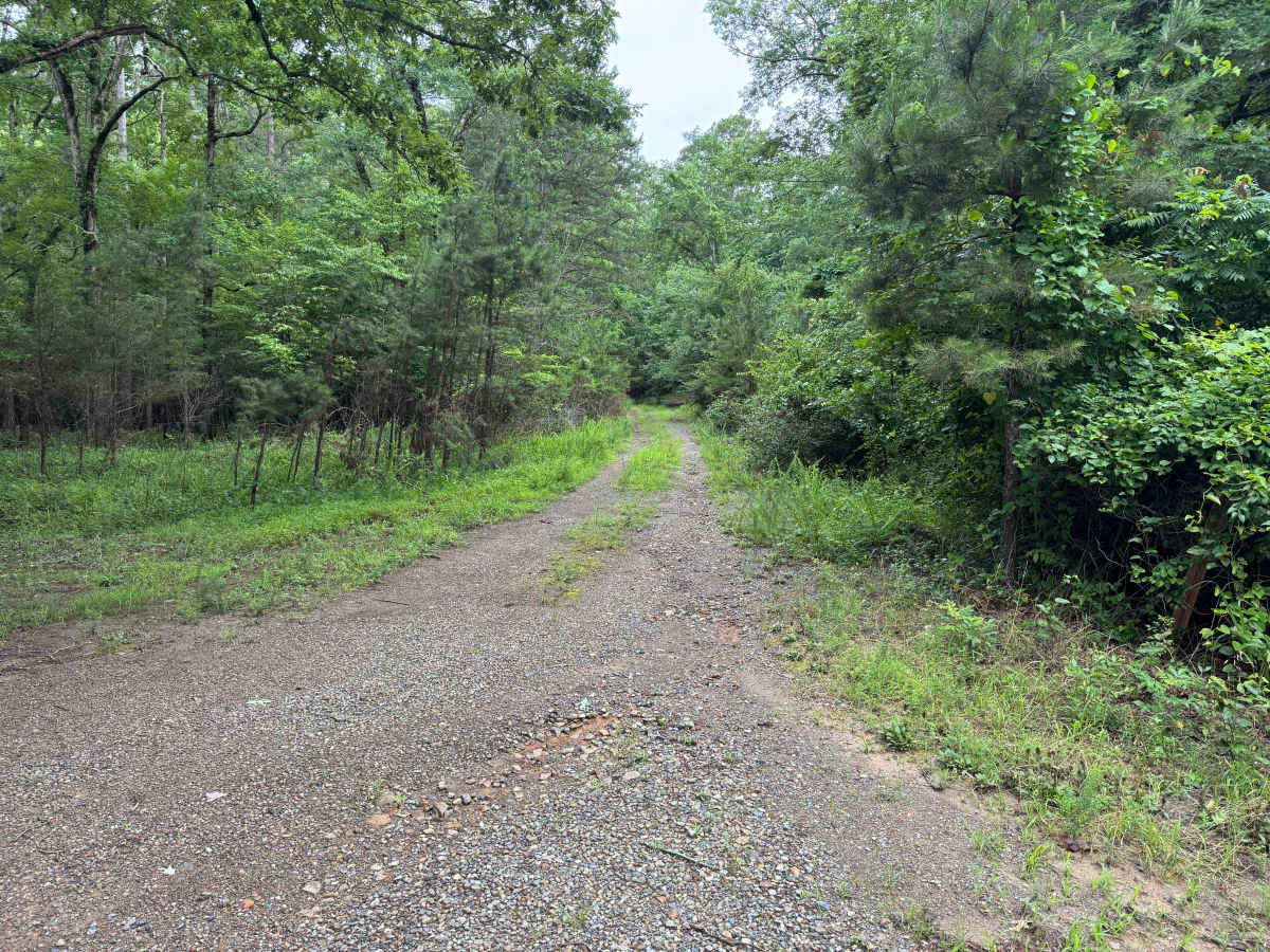
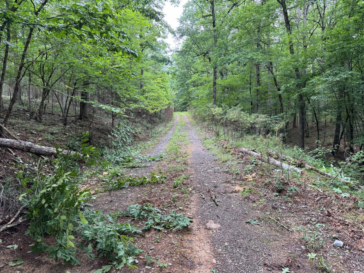
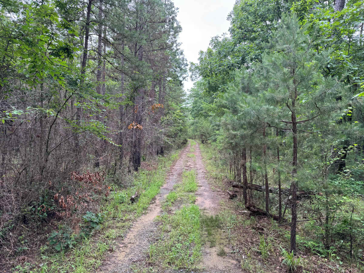
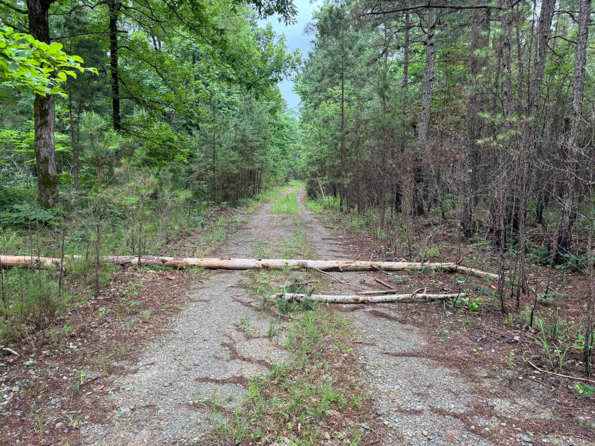
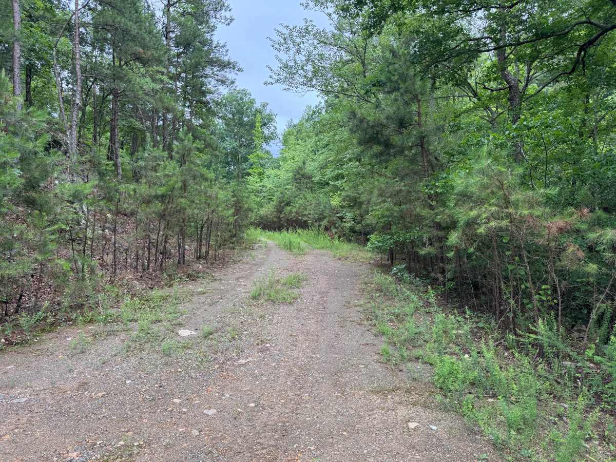
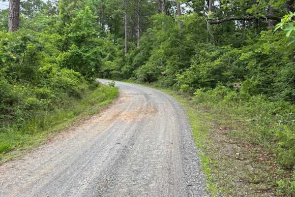
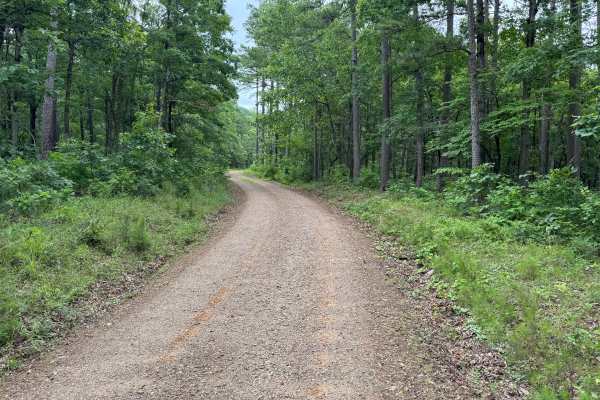
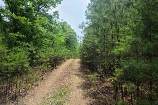
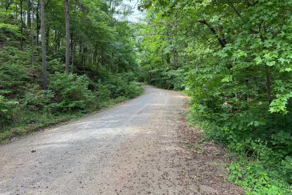
This narrow forest access road provides a short but scenic drive through dense timber and young pines. While the route itself presents no significant technical obstacles, it is noticeably tighter than many surrounding roads and is best suited for drivers who are comfortable navigating overgrown forest corridors. Vegetation frequently encroaches on the roadway, making paint scratches and pinstriping likely, particularly for full-size trucks and wider vehicles. The surface consists primarily of gravel and hard-packed dirt with scattered embedded rock. Fallen branches and storm debris are common in the area, and occasional downed trees may temporarily block travel. Several branches and smaller trees were present along the route, highlighting the need for drivers to be prepared for changing trail conditions. A gate is located near the end of the route and was open at the time. Beyond this point, the road continues toward a creek crossing. The creek marks the end of the legal route. Do not attempt to cross the creek or continue beyond the designated endpoint. Turn around at the clearing near the gate and retrace your path to exit the area.
Difficulty
The route remains easy with no challenging terrain features. The primary concerns are narrow width, vegetation encroachment, potential pinstriping, and the possibility of encountering downed limbs or trees. Drivers should also be aware that the legal route ends at the creek crossing.
History
The Ouachita National Forest was established in 1907 and is recognized as the oldest national forest in the southern United States. Many roads found throughout the forest today originated as logging, timber management, fire access, or resource extraction routes before becoming part of the modern Forest Service road network. Forest management remains an important part of the landscape, and travelers may encounter evidence of prescribed burns, timber thinning, and habitat restoration efforts. The Ouachita Mountains themselves are among the oldest mountain ranges in North America and are notable for their unique east-west orientation.