Trail Overview
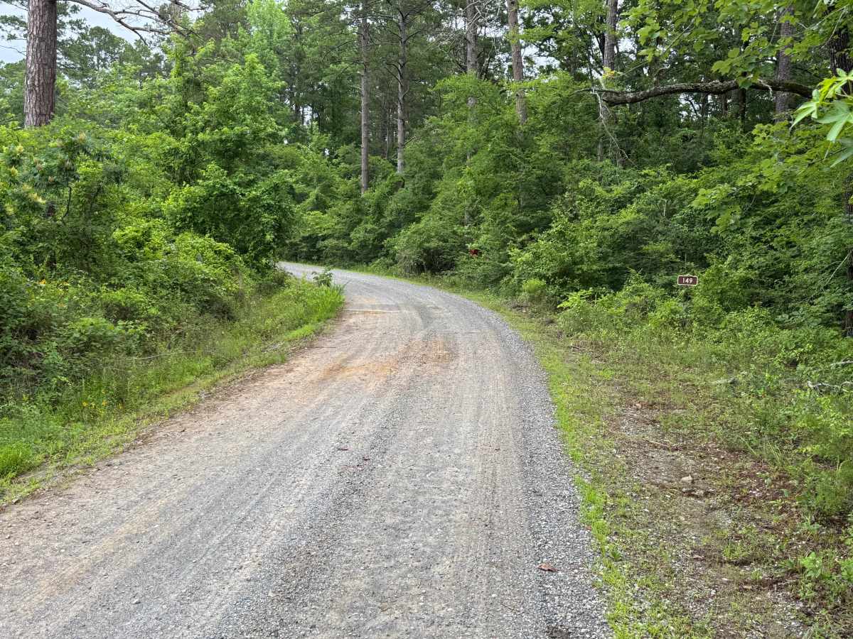
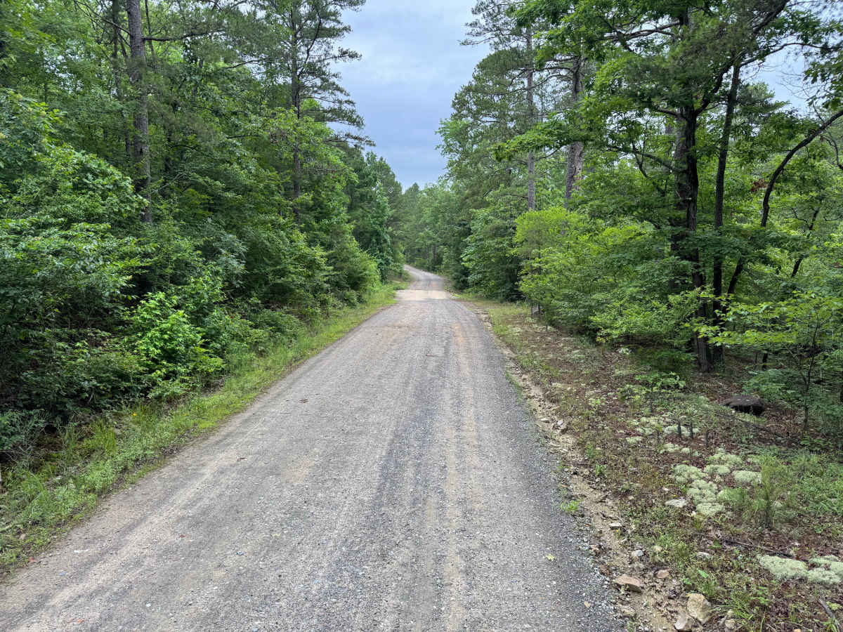
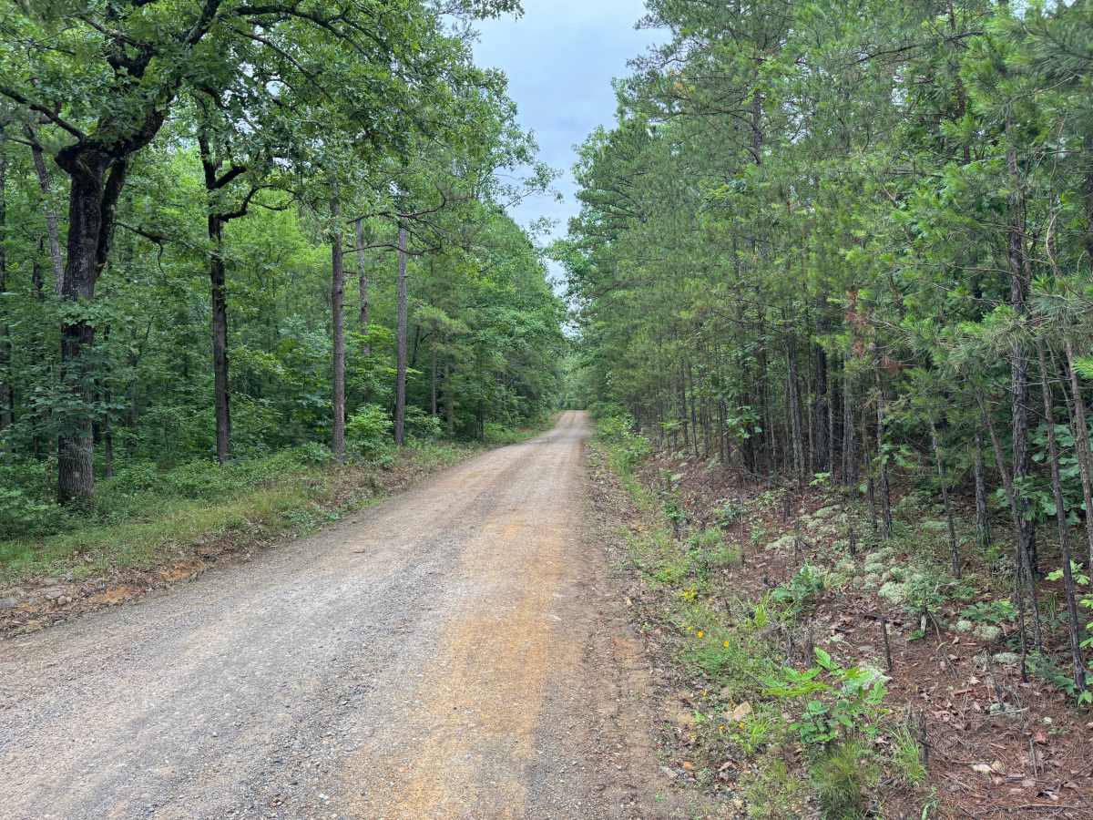
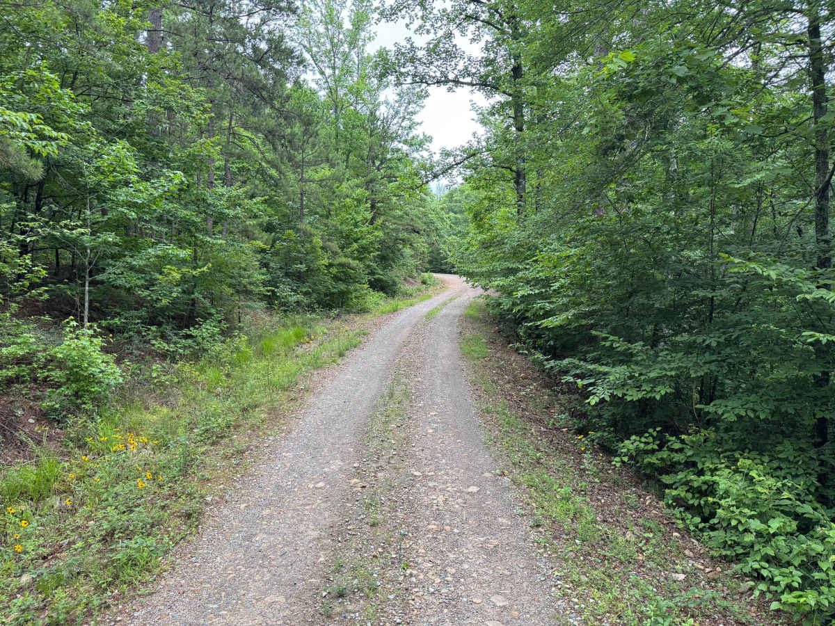
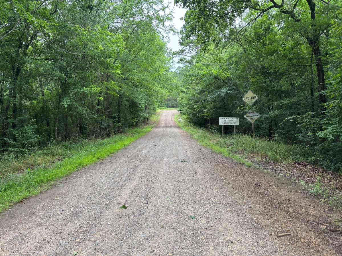
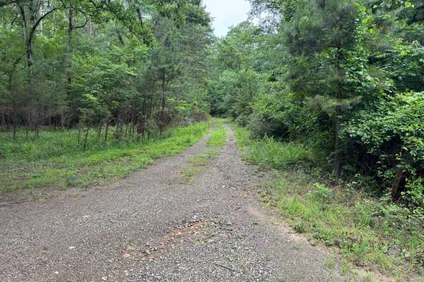
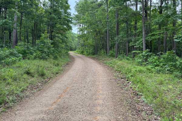
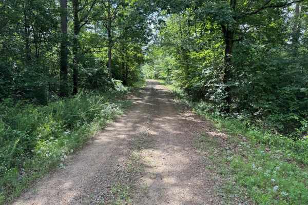
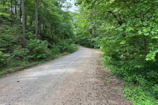
This 14.5-mile forest road provides a scenic drive through dense pine and hardwood timber with minimal technical challenges. The route is primarily maintained gravel and is suitable for most stock SUVs, trucks, crossovers, and even many passenger cars. Unlike some nearby forest roads, vegetation is generally set back from the roadway, making pinstriping much less likely. Drivers should remain alert throughout the route, as numerous blind corners can limit visibility. The road alternates between sections wide enough for vehicles to pass and narrower stretches that are only one to one-and-a-half vehicles wide. Several areas contain embedded and protruding rock within the road surface, with some rocks reaching approximately 10 inches in height. While these obstacles are easy to avoid in most cases, vehicles with low ground clearance or low-profile tires should use caution.
A defining feature of this route is the series of seven concrete bridge crossings. While they appeared relatively dry, water levels may increase following heavy rainfall, potentially affecting conditions. Overall, this is an enjoyable and accessible forest drive offering a quiet backcountry experience without significant technical obstacles.
Difficulty
No steep climbs, deep mud, off-camber obstacles, or technical challenges were observed. The primary concerns are narrow road width, limited visibility around blind corners, multiple one-lane bridge crossings, and occasional protruding rocks that may present clearance concerns for lower vehicles.
History
The Ouachita National Forest was established in 1907 and is recognized as the oldest national forest in the southern United States. Many roads found throughout the forest today originated as logging, timber management, fire access, or resource extraction routes before becoming part of the modern Forest Service road network. Forest management remains an important part of the landscape, and travelers may encounter evidence of prescribed burns, timber thinning, and habitat restoration efforts. The Ouachita Mountains themselves are among the oldest mountain ranges in North America and are notable for their unique east-west orientation.