Trail Overview
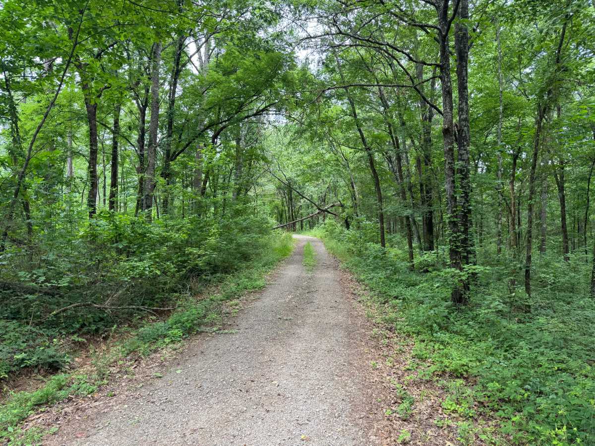
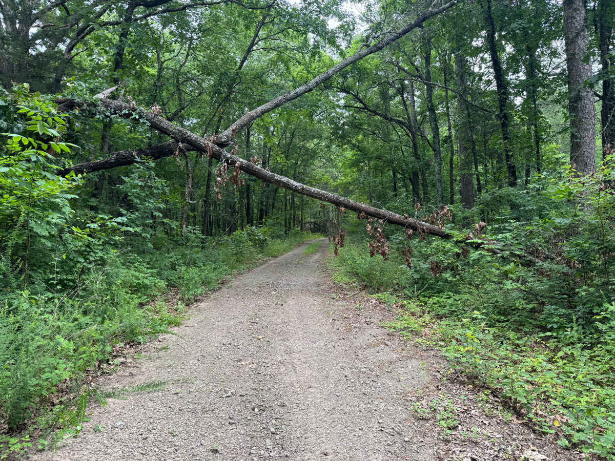
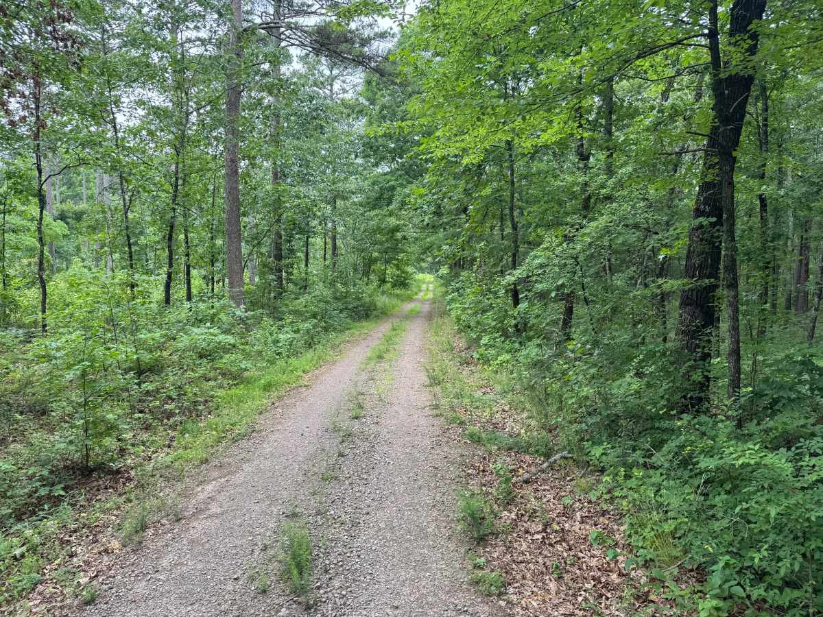
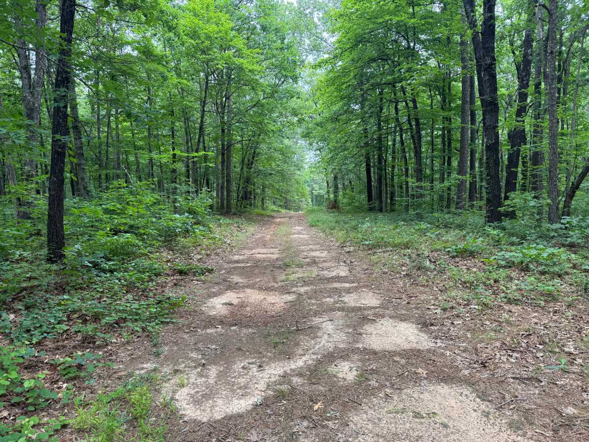
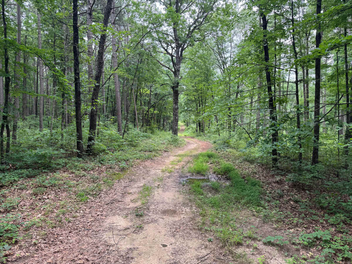
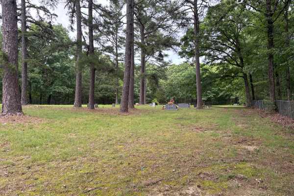
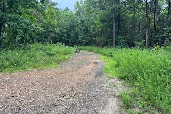
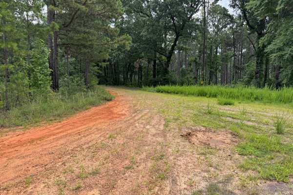
This route begins as a well-defined gravel road winding beneath a dense canopy of mature hardwoods and towering pines, creating a quiet, shaded drive through the forest. Early along the route, several storm-damaged trees lean across the route, leaving approximately seven feet of clearance. While most full-size vehicles can currently pass beneath them, conditions may change if the trees fall completely or are removed. Beyond this point, the route narrows into a lightly traveled two-track where grass begins growing between the tire tracks and vegetation crowds closer to the trail, making light pinstriping possible for wider vehicles. The forest becomes increasingly secluded, with thick green undergrowth, tall straight pines, and occasional openings that provide glimpses deeper into the woods. A few shallow mud holes appear along the route, and while they were manageable, the depth and firmness of their bottoms are uncertain and could deteriorate significantly after periods of heavy rain. The route eventually reaches a small wooded clearing that offers a convenient place for a group to gather, take a break, enjoy lunch, or prepare for exploring nearby routes. Drivers should remain alert for downed trees, wildlife, and changing trail conditions following storms.
Difficulty
Under normal dry conditions, this is an easy trail suitable for stock 4WD vehicles and most high-clearance AWD vehicles. The primary considerations are the low-hanging storm-damaged trees, light vegetation that may cause minor pinstriping, and a handful of muddy sections with uncertain bottoms. There are no steep climbs, significant rock obstacles, or technical terrain. Difficulty can increase after heavy rainfall if the mud holes deepen or additional trees fall across the route, potentially requiring chainsaw work or a turnaround.
History
The Ozark National Forest was established in 1908 and today forms part of the Ozark-St. Francis National Forests, protecting more than one million acres across northern Arkansas. Many of the Forest Service roads traveled today began as logging, fire access, or resource management roads before becoming part of the modern recreation network. Forest management continues to play an important role in maintaining healthy ecosystems through timber management, prescribed fire, wildlife habitat restoration, and watershed protection. The rugged Boston Mountains and surrounding Ozark Highlands remain one of the oldest and most geologically significant mountain regions in North America, offering visitors a unique combination of natural beauty and rich forest history.

 Offroad