Trail Overview
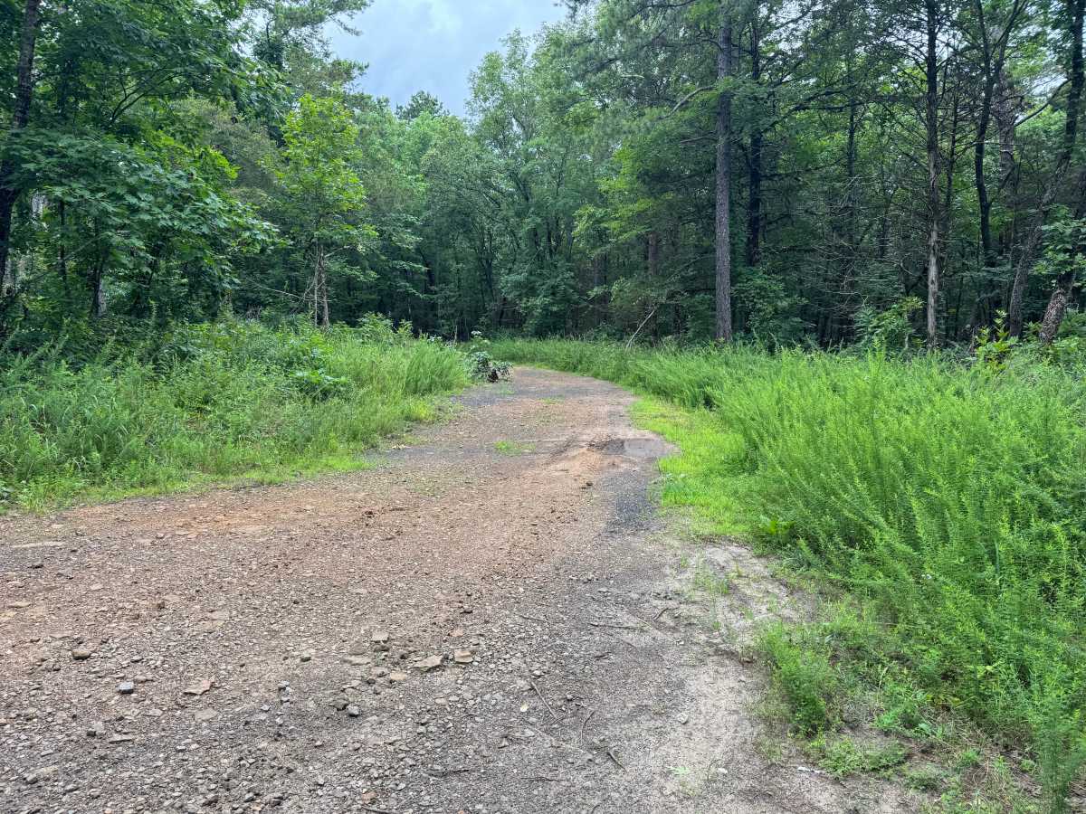
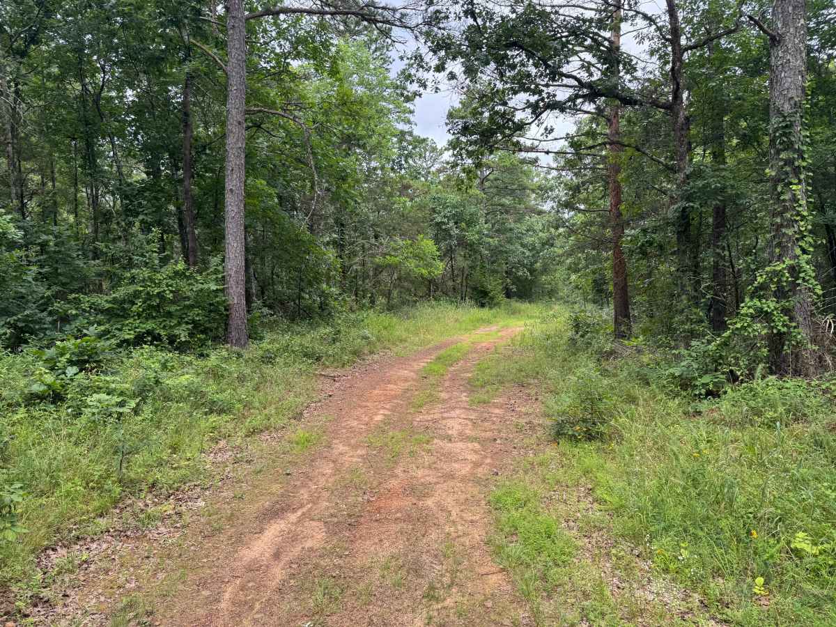
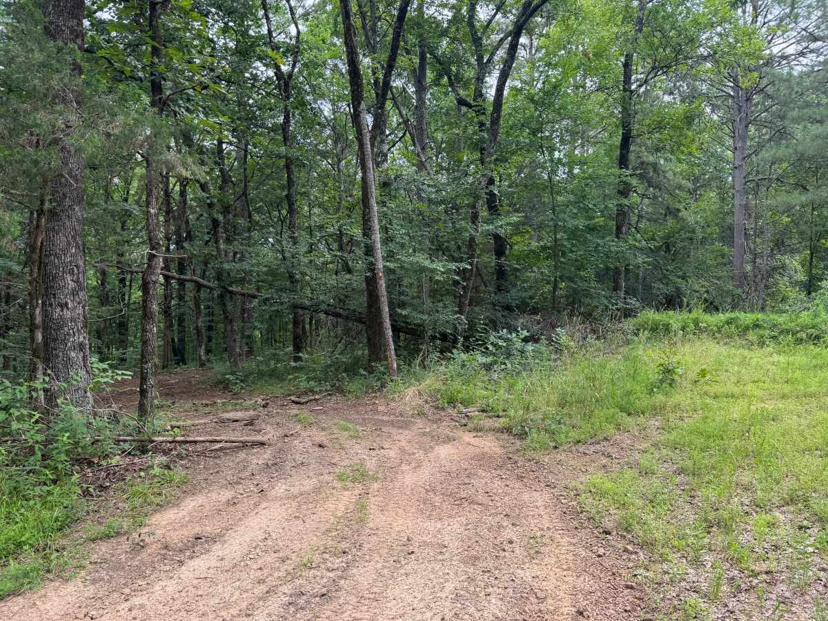
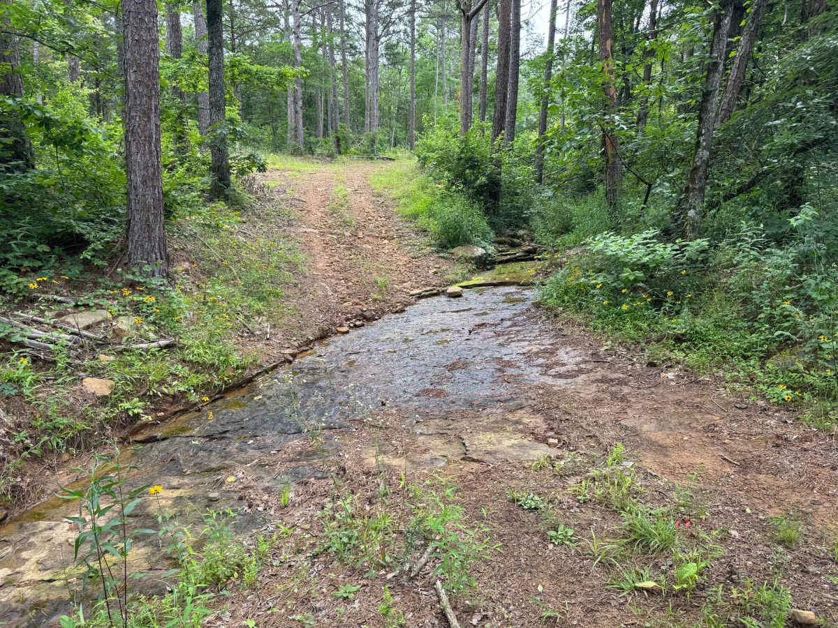
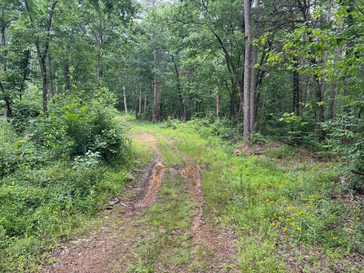
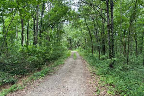
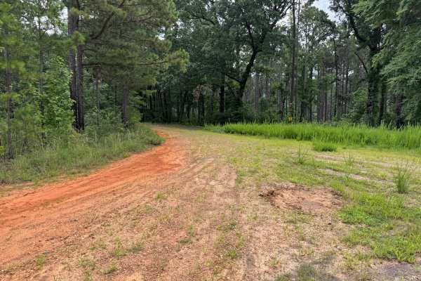
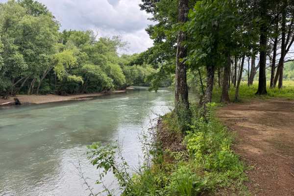
This out-and-back route follows an unmaintained Forest Service road through a quiet section of dense Ozark forest. The route begins as a narrow gravel lane before transitioning to a single-lane dirt track surrounded by towering pines, mature hardwoods, and thick undergrowth that creates a secluded, remote atmosphere. Shortly after the start, a fallen tree blocks the original route, but an established bypass allows most high-clearance vehicles to continue without difficulty. As the route progresses, it becomes narrower and more primitive, with several natural whoops, shallow dips, and minor ruts that add to the backcountry feel. A shallow rock-bottom creek crossing provides a scenic highlight and is typically an easy crossing under normal water conditions, although it can become more challenging after heavy rainfall. Small muddy sections may also develop depending on recent weather. Because the route is only one vehicle wide with very few opportunities to pass oncoming traffic, drivers should be prepared to reverse to a wider area if another vehicle is encountered. The route ends at a large exposed rock outcrop that offers enough room to safely turn around before retracing the same path back to the trailhead.
Difficulty
The primary challenges are the narrow single-lane route, the fallen tree bypass, the shallow rock-bottom creek crossing, and the rolling whoops and dips throughout the route. There are no steep climbs, significant rock obstacles, or technical ledges. Following heavy rain, muddy sections, slick rock at the creek crossing, and additional downed trees can increase the difficulty. Driver awareness is more important than vehicle capability on this trail due to the limited passing opportunities and the unmaintained nature of the route.
History
The Ozark National Forest was established in 1908 and today forms part of the Ozark-St. Francis National Forests, protecting more than one million acres across northern Arkansas. Many of the Forest Service roads traveled today began as logging, fire access, or resource management roads before becoming part of the modern recreation network. Forest management continues to play an important role in maintaining healthy ecosystems through timber management, prescribed fire, wildlife habitat restoration, and watershed protection. The rugged Boston Mountains and surrounding Ozark Highlands remain one of the oldest and most geologically significant mountain regions in North America, offering visitors a unique combination of natural beauty and rich forest history.

 Offroad