Trail Overview
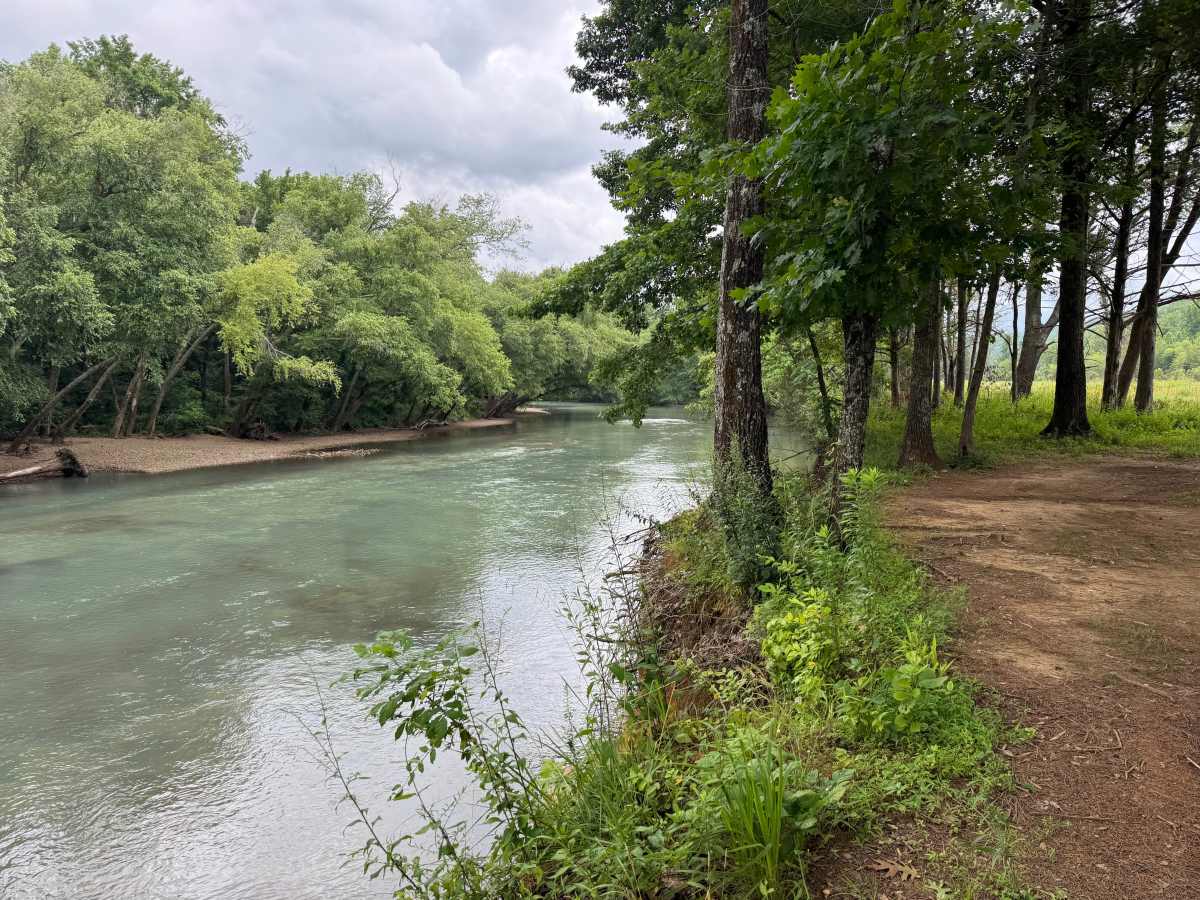
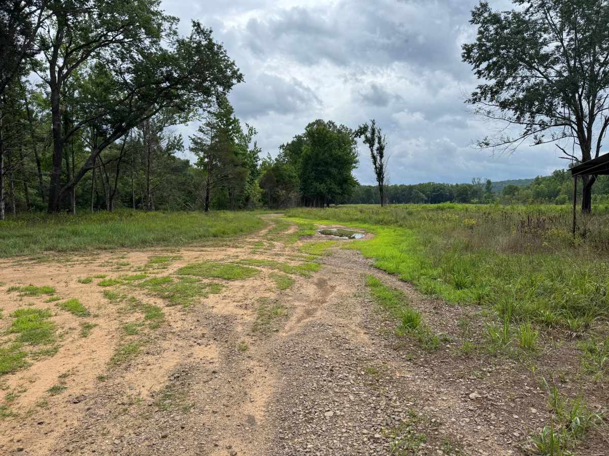
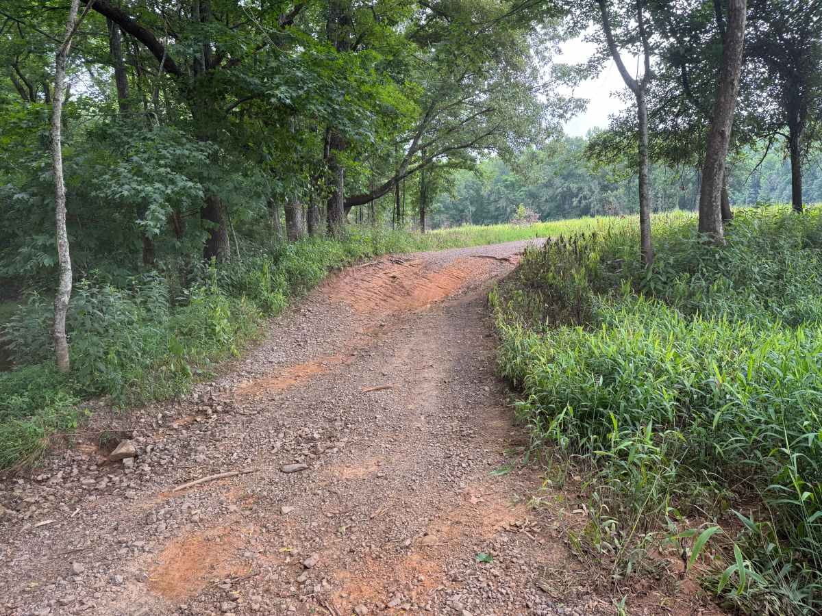
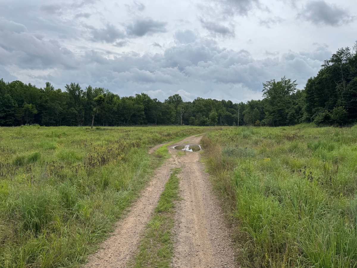
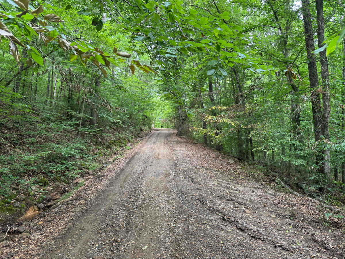
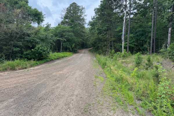
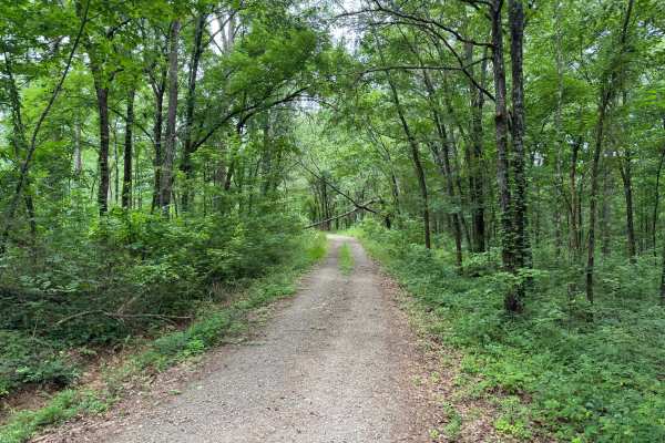
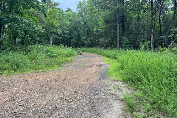
This route begins on a well-maintained gravel road before transitioning to a narrower dirt road that leads to public access along the Mulberry River. The drive offers a beautiful mix of scenery, winding through mature hardwood forests before opening into grassy fields and river bottoms. Towering trees create a shaded canopy over portions of the road, while other sections provide views across open meadows and the surrounding Ozark hills. As you descend toward the river, the road becomes more primitive, with a few shallow puddles that can become soft and muddy after rain. There is also one water-eroded section that creates a slightly off-camber turn, requiring drivers to slow down and choose a careful line. None of these obstacles are particularly difficult in dry conditions, but they can become more challenging when wet. The highlight of the route is the peaceful Mulberry River access, where crystal-clear water flows beneath large shade trees that provide an excellent place to stop, relax, enjoy lunch, or spend the night if camping is permitted. The riverside setting is quiet and scenic, making it a worthwhile destination rather than simply a drive through the forest. As with many rural Ozark routes, remain alert for wildlife, downed trees after storms, and domestic animals such as dogs, chickens, or turkeys that may wander onto the route from nearby private properties. Please respect all posted property boundaries and leave the area as you found it so others can continue to enjoy this beautiful river access.
Difficulty
The maintained gravel section is suitable for nearly any vehicle, while the final dirt section adds a small amount of challenge without becoming technical. The primary obstacles are shallow puddles that can become muddy after rain and a single water-eroded, slightly off-camber turn near the river access. Drivers should slow down through these sections, especially in wet conditions, but no rock crawling, ledges, or difficult climbs are present. Under dry conditions, a stock high-clearance SUV or 4WD vehicle should have no issues reaching the Mulberry River. After heavy rainfall, expect the dirt portion to become softer and more slippery, which may temporarily increase the difficulty. Also remain alert for wildlife, downed trees, and domestic animals that may enter the roadway near private properties.
History
The Ozark National Forest was established in 1908 and today forms part of the Ozark-St. Francis National Forests, protecting more than one million acres across northern Arkansas. Many of the Forest Service roads traveled today began as logging, fire access, or resource management roads before becoming part of the modern recreation network. Forest management continues to play an important role in maintaining healthy ecosystems through timber management, prescribed fire, wildlife habitat restoration, and watershed protection. The rugged Boston Mountains and surrounding Ozark Highlands remain one of the oldest and most geologically significant mountain regions in North America, offering visitors a unique combination of natural beauty and rich forest history.