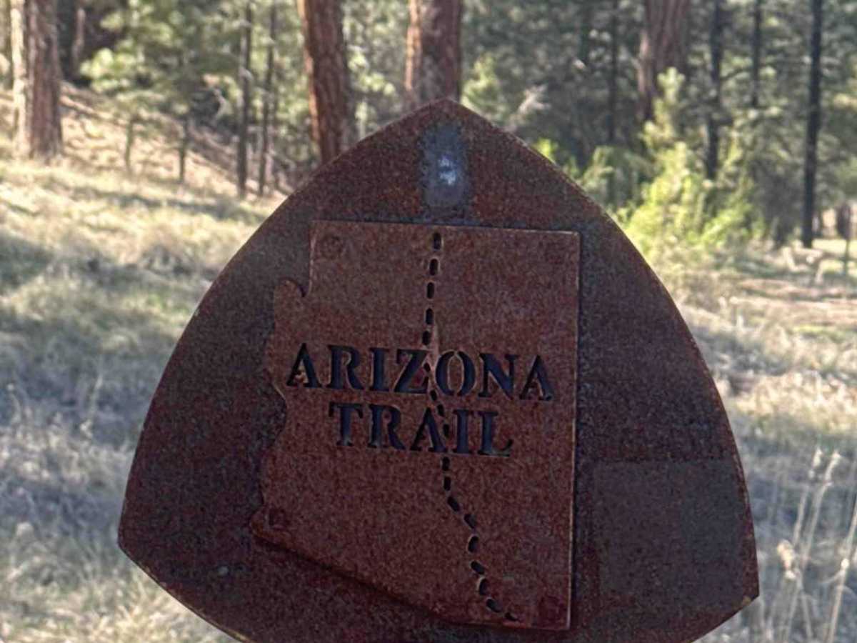
Trail Overview
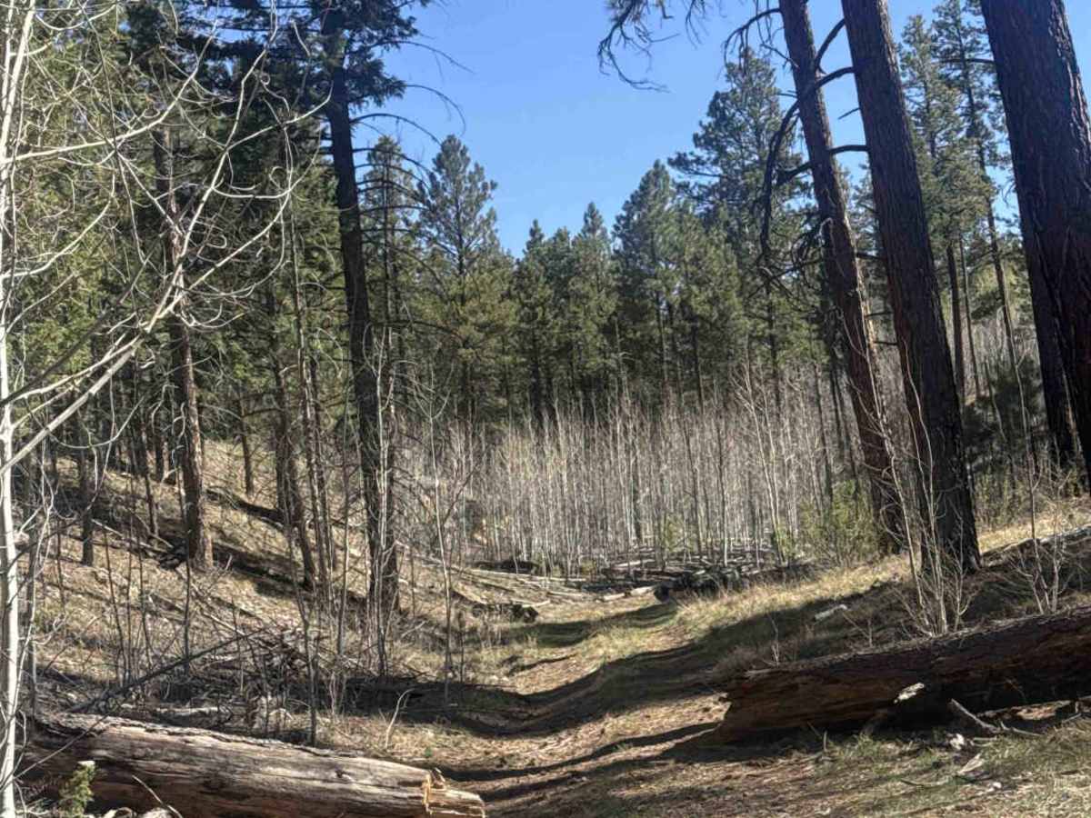
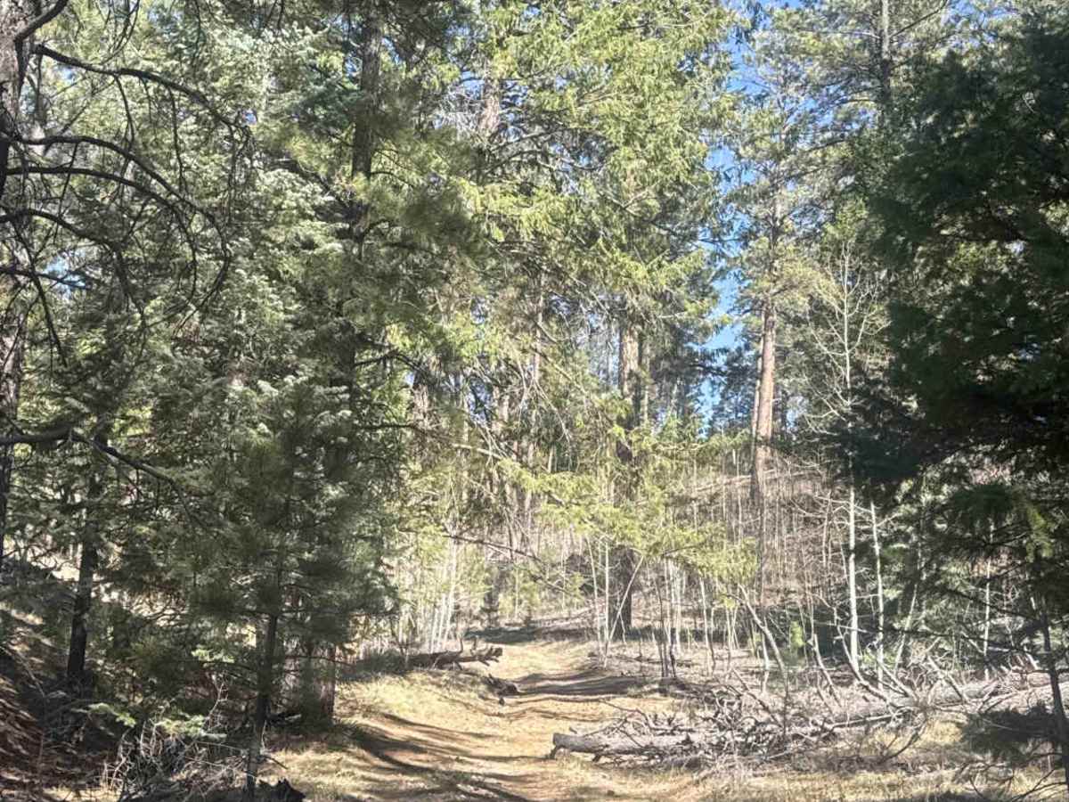
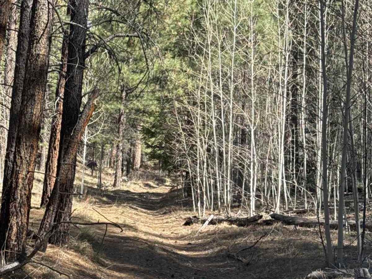
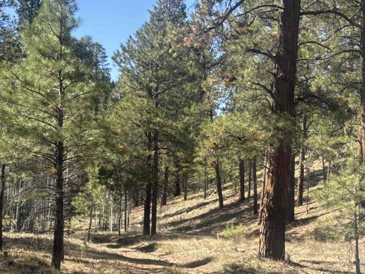
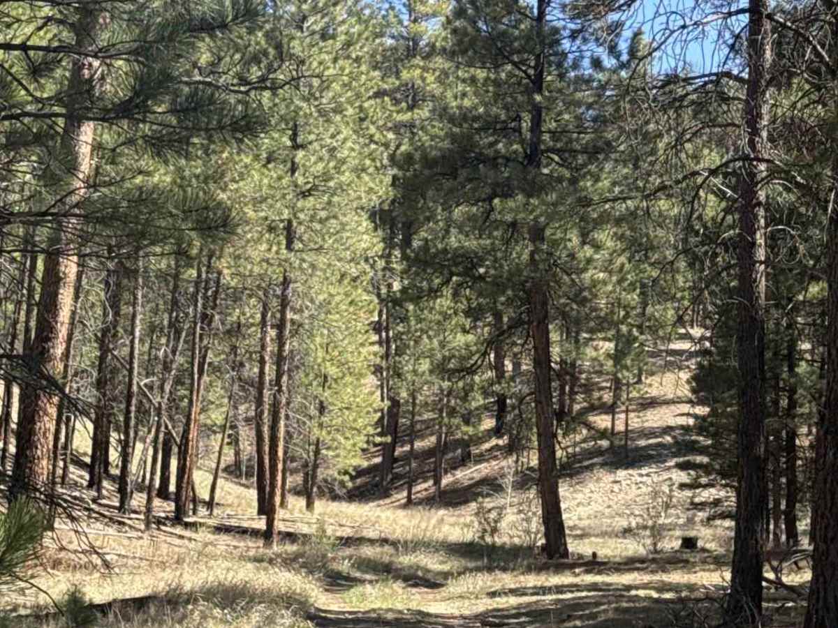
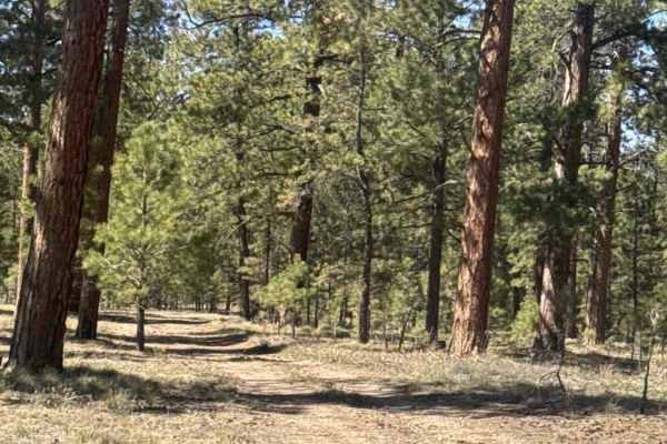
FS 101 is a section of the Arizona Trail within the Kaibab National Forest, running from FS 258 to FS 9053A. This route stays down in a canyon, featuring tight sections with frequent S-curves and requiring high clearance throughout. The trail is lined with pine and aspen, surrounded by natural grass, and includes numerous fallen trees that must be navigated over. Expect rutted terrain along most of the route, which can become difficult or even impassable in wet conditions. Despite the challenges, it’s a beautiful and remote drive. Keep an eye out for wildlife—chances are, they’re already watching you from above.
Difficulty
Narrow overgrown trail, with large ruts, fallen trees to cross over 12 inches, and tight S-curves through the canyon.
History
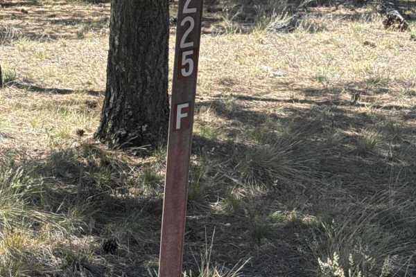
In this area, the trail is divided into several passages (notably 40–42) and offers a high-elevation forest experience very different from Arizona’s desert sections. It winds through ponderosa pine forests, aspen groves, and open meadows, with occasional wide views toward the canyon and surrounding plateaus. The terrain is generally rolling and moderate, following singletrack that curves along hillsides and dips in and out of forest cover. Some sections are longer and more remote (15–20+ miles), making them popular for backpacking, mountain biking, and thru-hiking.