Powerline Connector

Total Miles1.8
Technical Rating
1Easy
Best TimeSpring, Summer, Fall, Winter
Trail Type50" Trail
Accessible By
Open Trail Map

Trail Overview

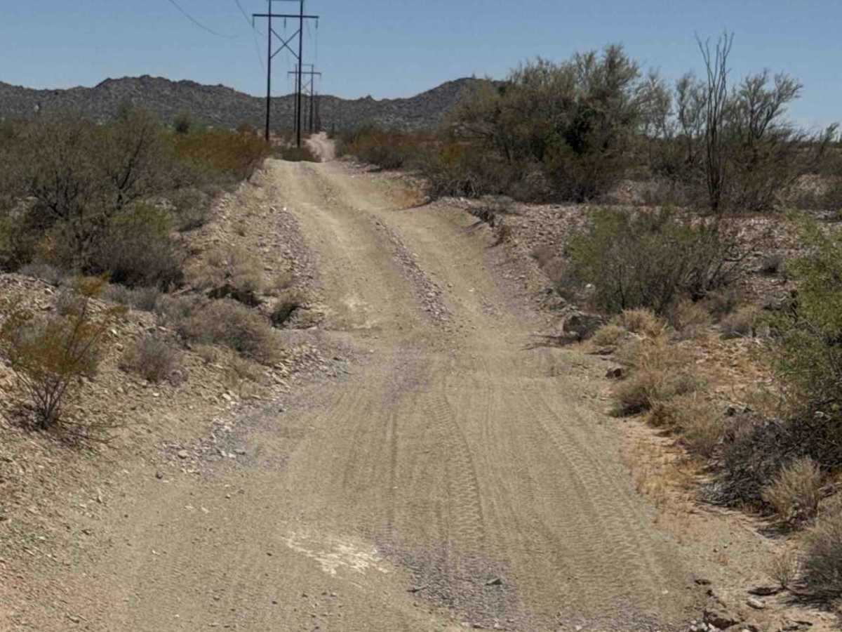
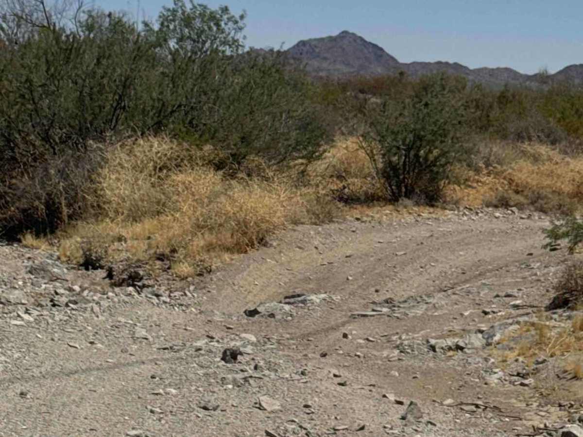
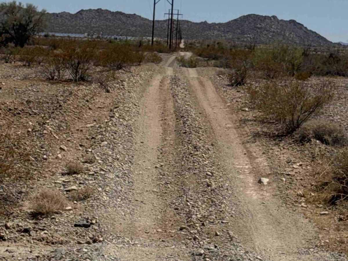
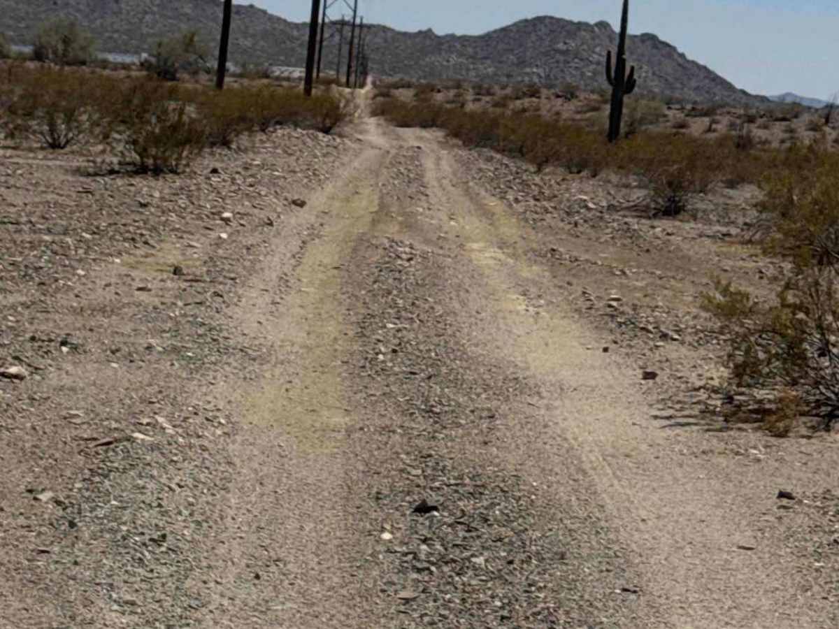
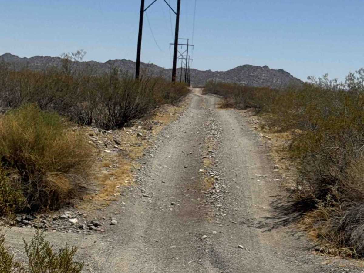
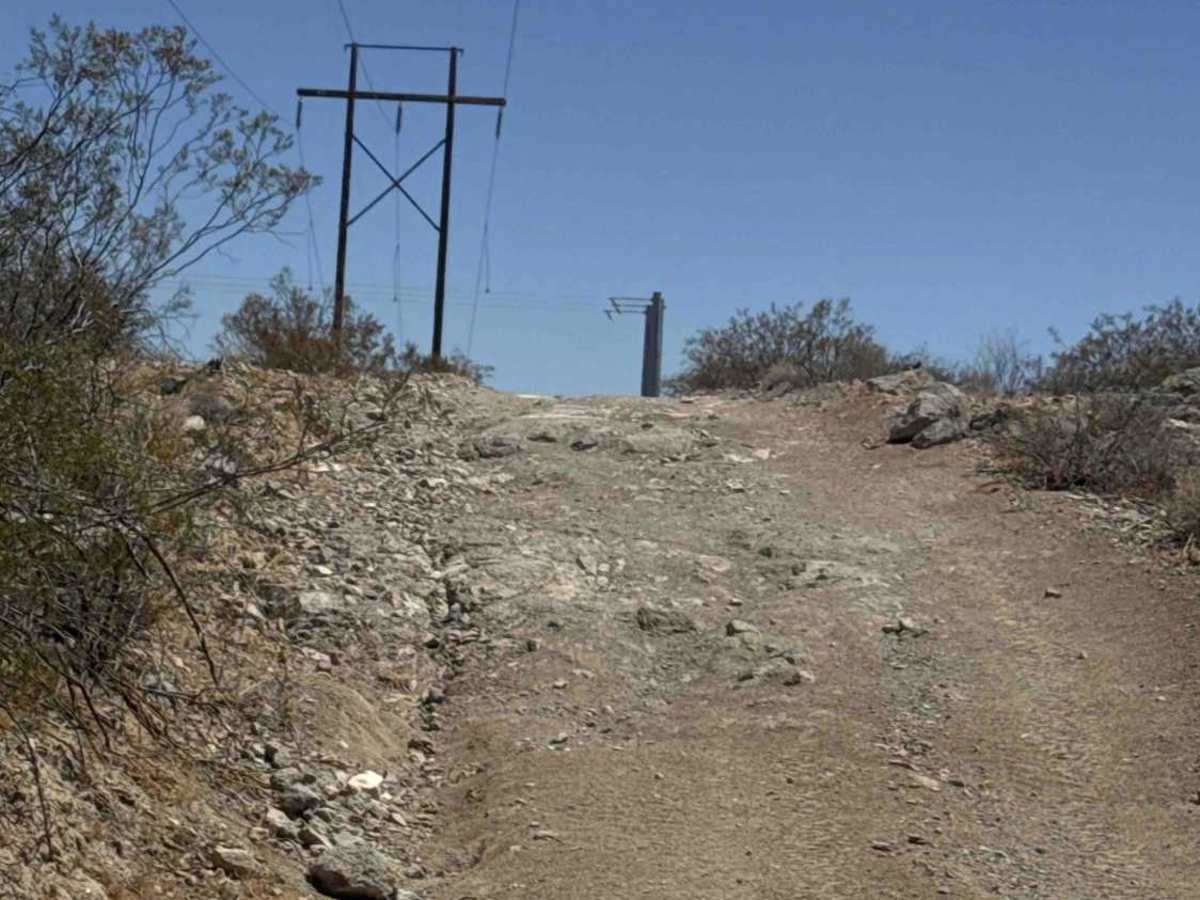
Powerline Connector serves as the main north-south route linking much of the trail network, allowing riders to move between trails without returning to Tank Trail. This convenient connector provides access to Standing Tall Trail, Creosote Corridor, Wishing Rock Trail, Suspension Check Trail, and several other routes, making it easy to create longer loops and explore different sections of the area. The trail follows the powerline corridor along the boundary of public land and private property while also providing access to 68th North Street. Riders can travel east from Tank Trail on one route, head north on the Powerline Connector, then continue east on another trail before looping back, creating a smooth flow through the entire trail system. The route is a wide, easy 2-track with no technical obstacles, making it an ideal transit trail rather than a destination trail. Its primary purpose is to efficiently connect the surrounding trail network and reduce the need to repeatedly travel Tank Trail.

Photos of Powerline Connector

Difficulty

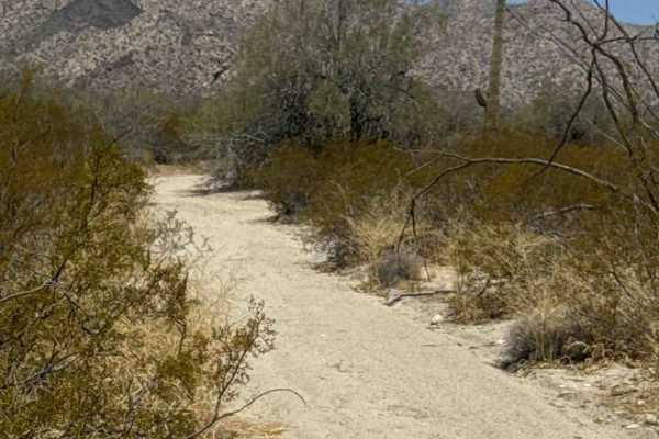
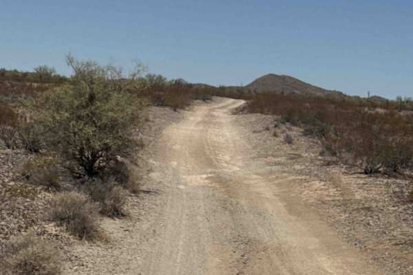
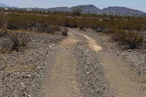
A wide, non-technical connector trail with a smooth surface and no obstacles. Suitable for all skill levels and designed primarily to provide convenient access between the surrounding trails.

Technical Rating

1

Powerline Connector Trail can be accessed by the following ride types:

  • Single Track
  • 50 Inch

Powerline Connector Map

The onX Offroad Difference

onX Offroad combines trail photos, descriptions, difficulty ratings, width restrictions, seasonality, and more in a user-friendly interface. Available on all devices, with offline access and full compatibility with CarPlay and Android Auto. Discover what you're missing today!

Open Trail Map