Trail Overview
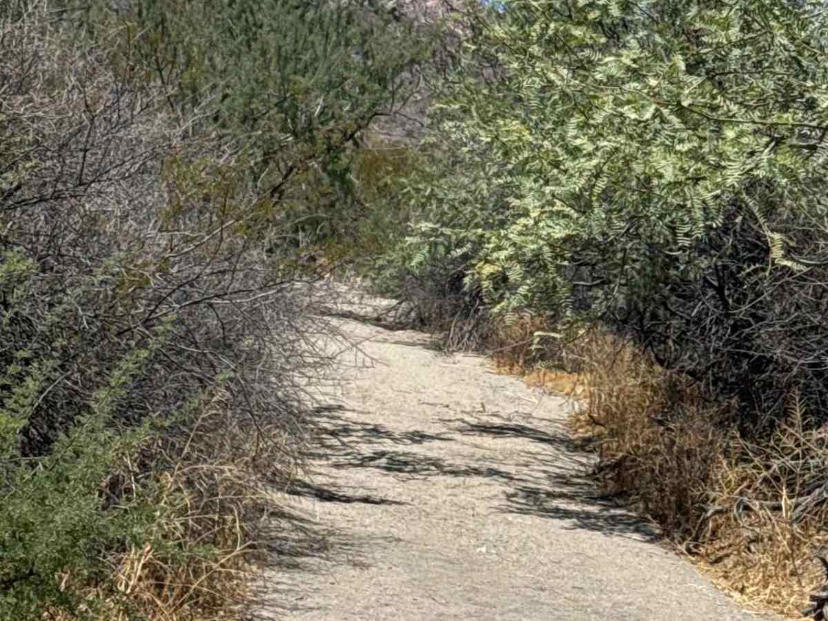
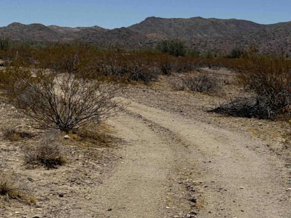
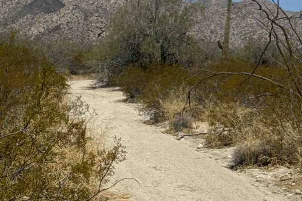
Creosote Corridor begins off Tank Trail or 68th North Street and winds through a narrow section of Sonoran Desert lined with dense creosote, Palo Verde trees, and desert brush. The trail starts especially tight, with numerous overhanging branches and bushes that can brush riders or leave pinstripes on riders. Protective clothing is recommended, as branches may contact your face, arms, and legs.
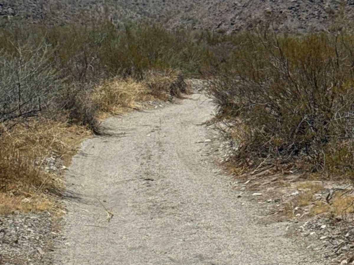
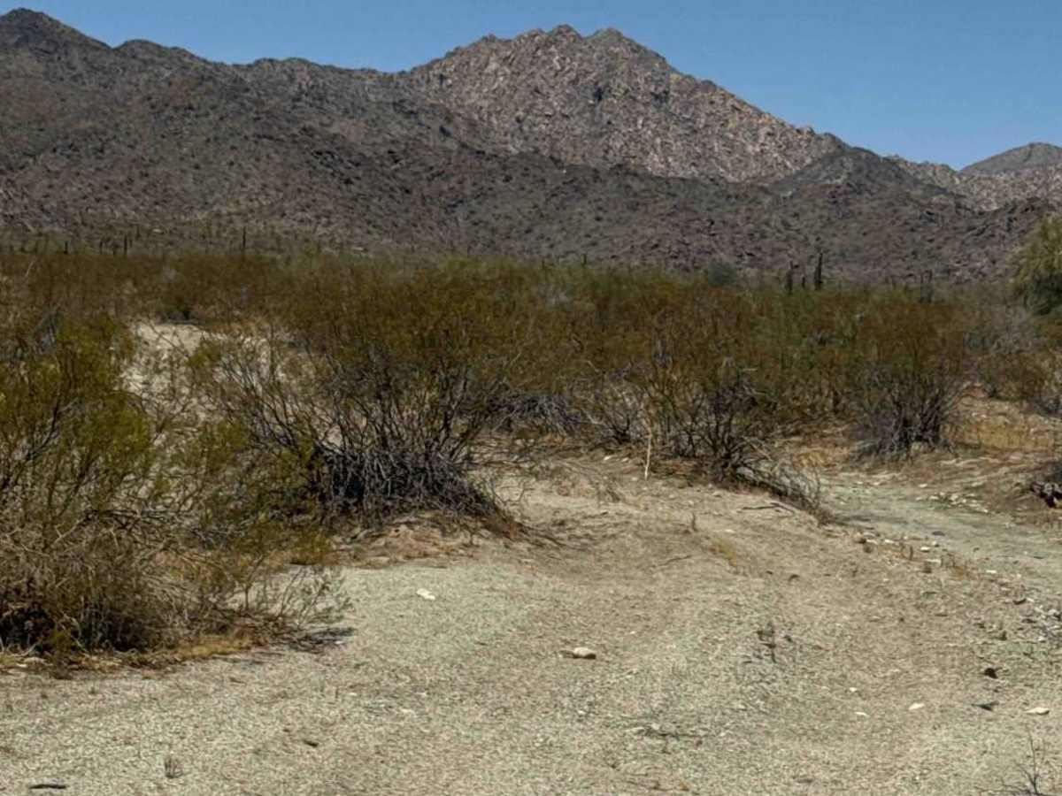
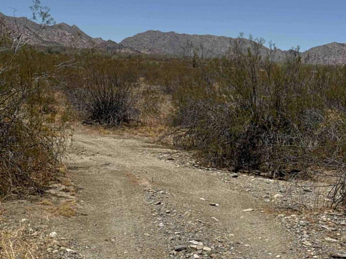
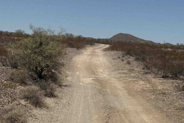
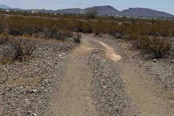
The route eventually drops into a wash before turning right and continuing east, zigzagging through a series of gentle bends across a small gravel trail. While there are a few washed-out sections, they are easily navigated by maintaining a safe speed and choosing a good line. The trail remains non-technical with no major obstacles, making it an enjoyable connector through the desert.
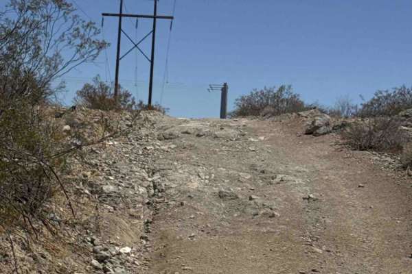
Near the eastern end, the trail follows a fence line before terminating at 68th North Street Pavement near the trash transfer station, but it connects to Powerline to take you over to other trails. This is a fun, scenic connector that rewards careful driving with a winding route through dense desert vegetation.
Difficulty
A narrow 2-track with loose gravel, gentle wash crossings, and a few minor washouts. There are no technical obstacles, but expect tight vegetation, overhanging branches, and numerous zigzag turns that require slower speeds and attention to your surroundings.

 Offroad