Northbound Powerline

Total Miles1.9
Technical Rating
1Easy
Best TimeSpring, Summer, Fall, Winter
Trail Type50" Trail
Accessible By
Open Trail Map

Trail Overview

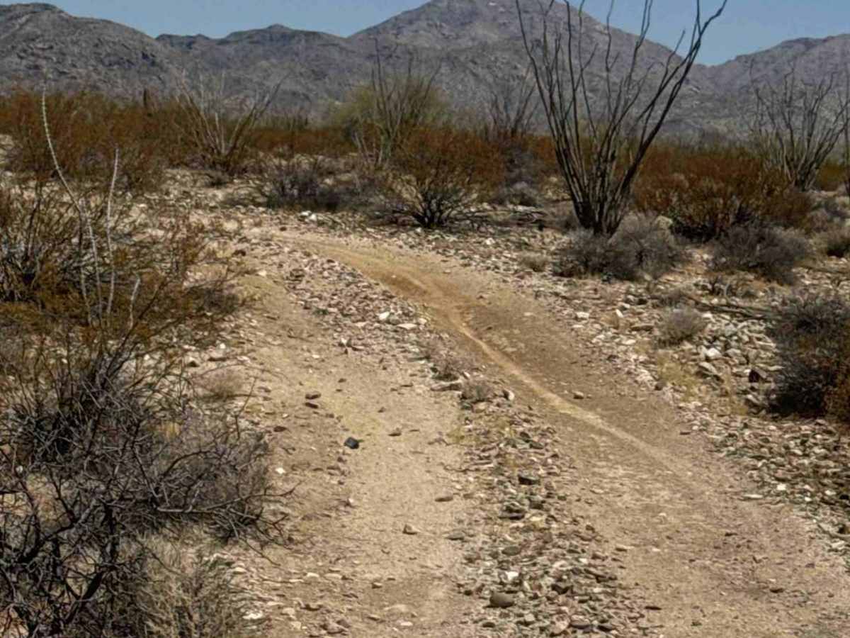
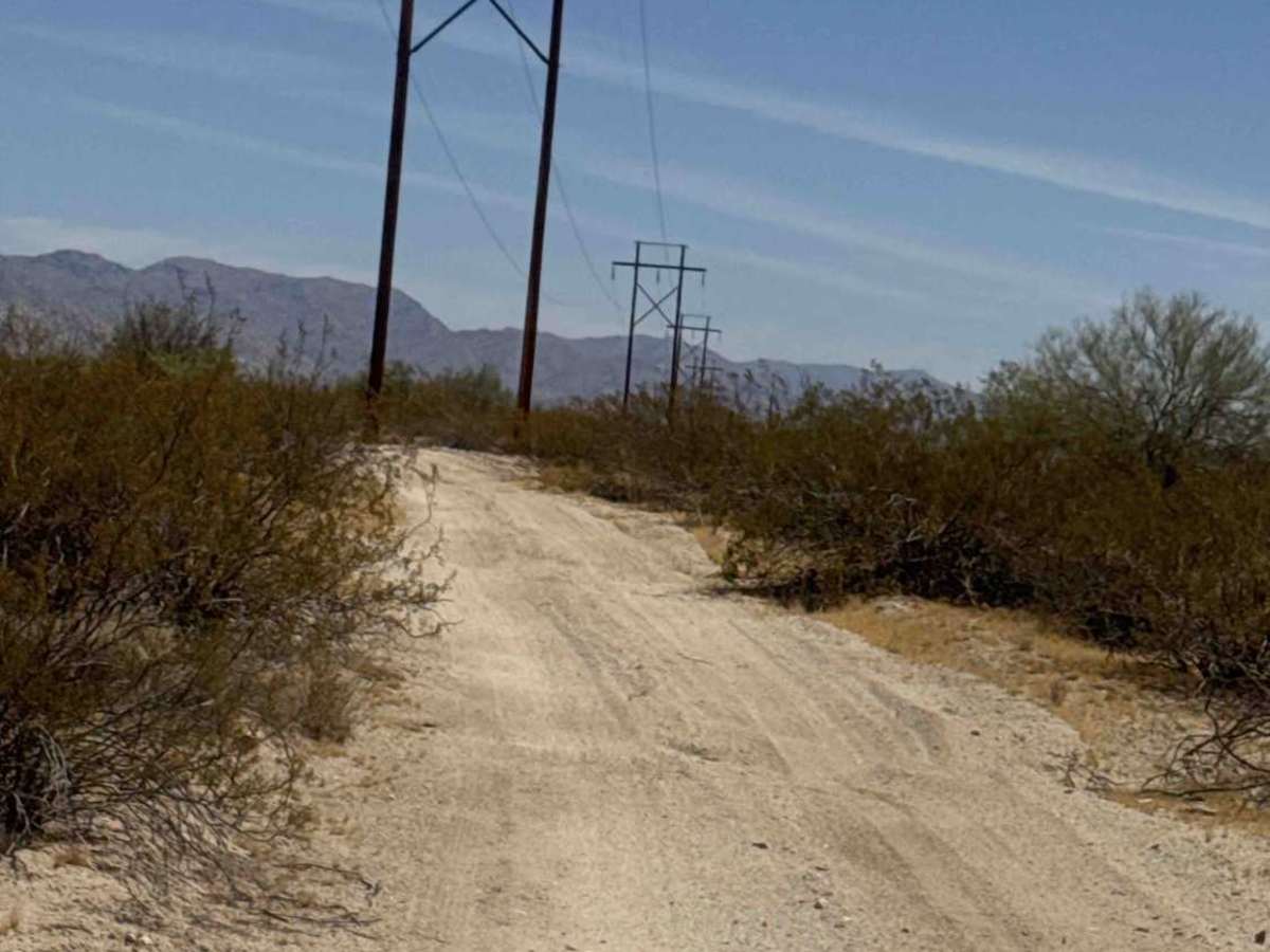
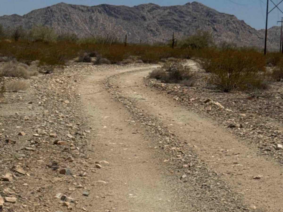
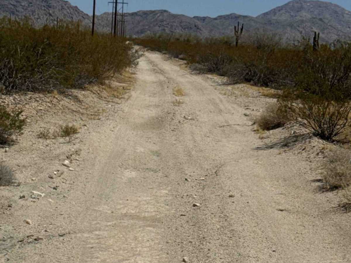
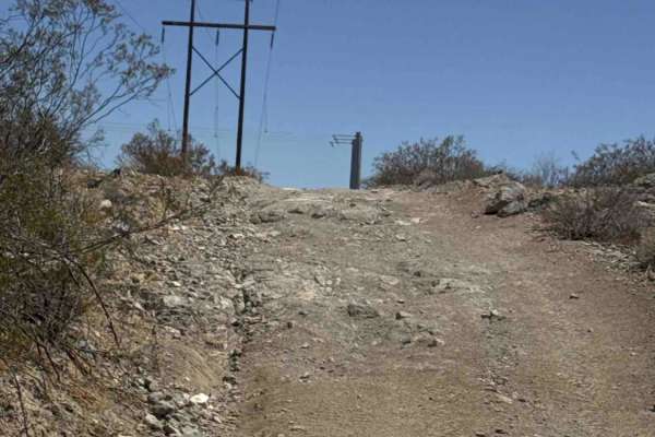
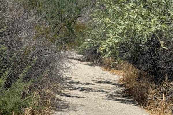
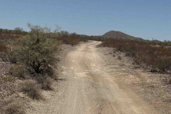
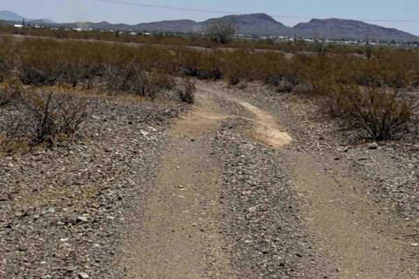
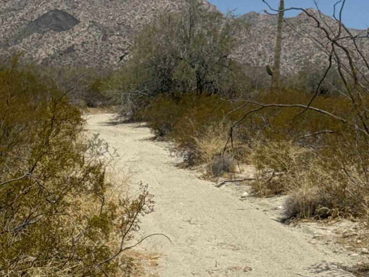
Northbound Powerline begins near the waste transfer center at 68th North Street and follows an easy, sandy two-track beneath the power lines. This route serves as an important connector to the north section of powersport trails and Tank Pass, and gives access to three additional trails that can be used to cut across to Tank Trail. The trail is non-technical with no significant obstacles, although sections of moderately deep sand may require steady momentum. Desert creosote lines much of the route, with scattered saguaros, ocotillo, and Palo Verde trees throughout the landscape. Traveling north offers stunning views of the Granite Wash Mountains. At the Y intersection, the northbound route enters State Trust Land, and a valid permit is required for access. The trail ends at the State Trust Land boundary near the beginning of the next trail.

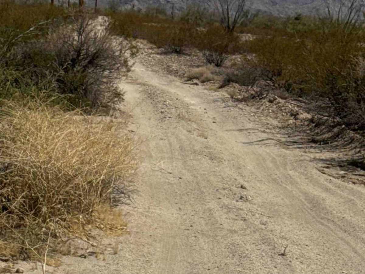
Photos of Northbound Powerline

Difficulty

Sandy two-track with moderate sections of deep sand. Nothing technical; no obstacles. In sections, maintaining momentum in softer sand is recommended. Any level of rider can handle.

Technical Rating

1

Northbound Powerline Trail can be accessed by the following ride types:

  • Single Track
  • 50 Inch

Northbound Powerline Map

The onX Offroad Difference

onX Offroad combines trail photos, descriptions, difficulty ratings, width restrictions, seasonality, and more in a user-friendly interface. Available on all devices, with offline access and full compatibility with CarPlay and Android Auto. Discover what you're missing today!

Open Trail Map