PE1037

Total Miles1.9
Technical Rating
2Easy
Best TimeSpring, Summer, Fall, Winter
Trail TypeFull-Width Road
Accessible By
Open Trail Map

Trail Overview

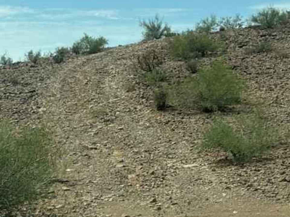
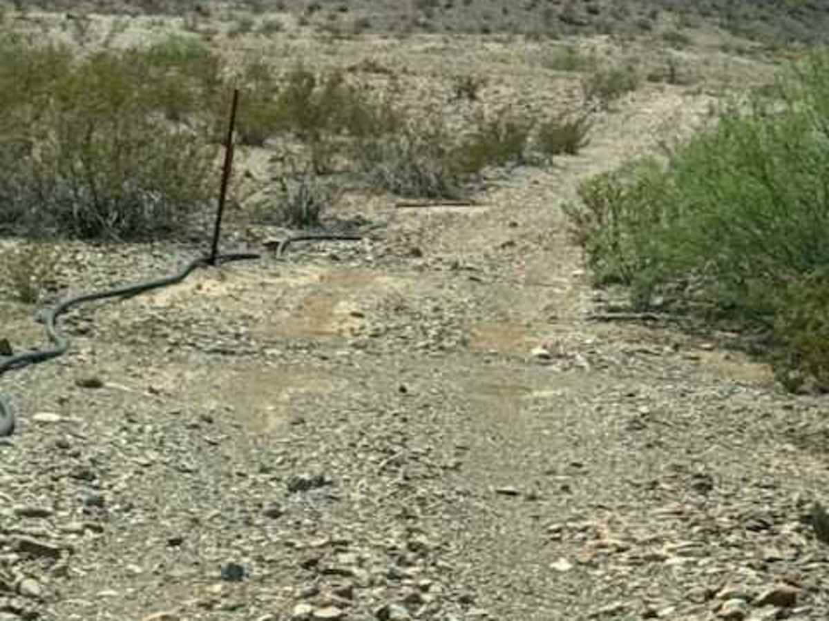
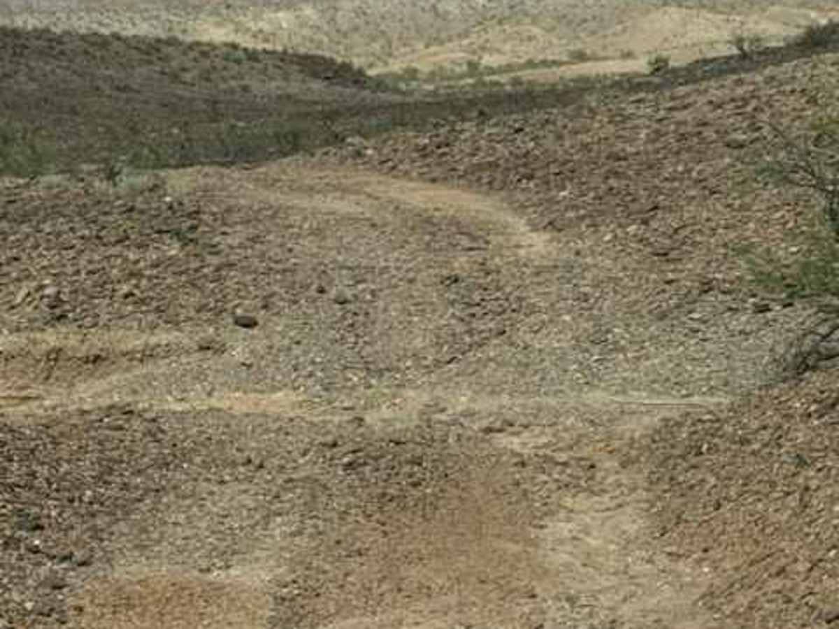
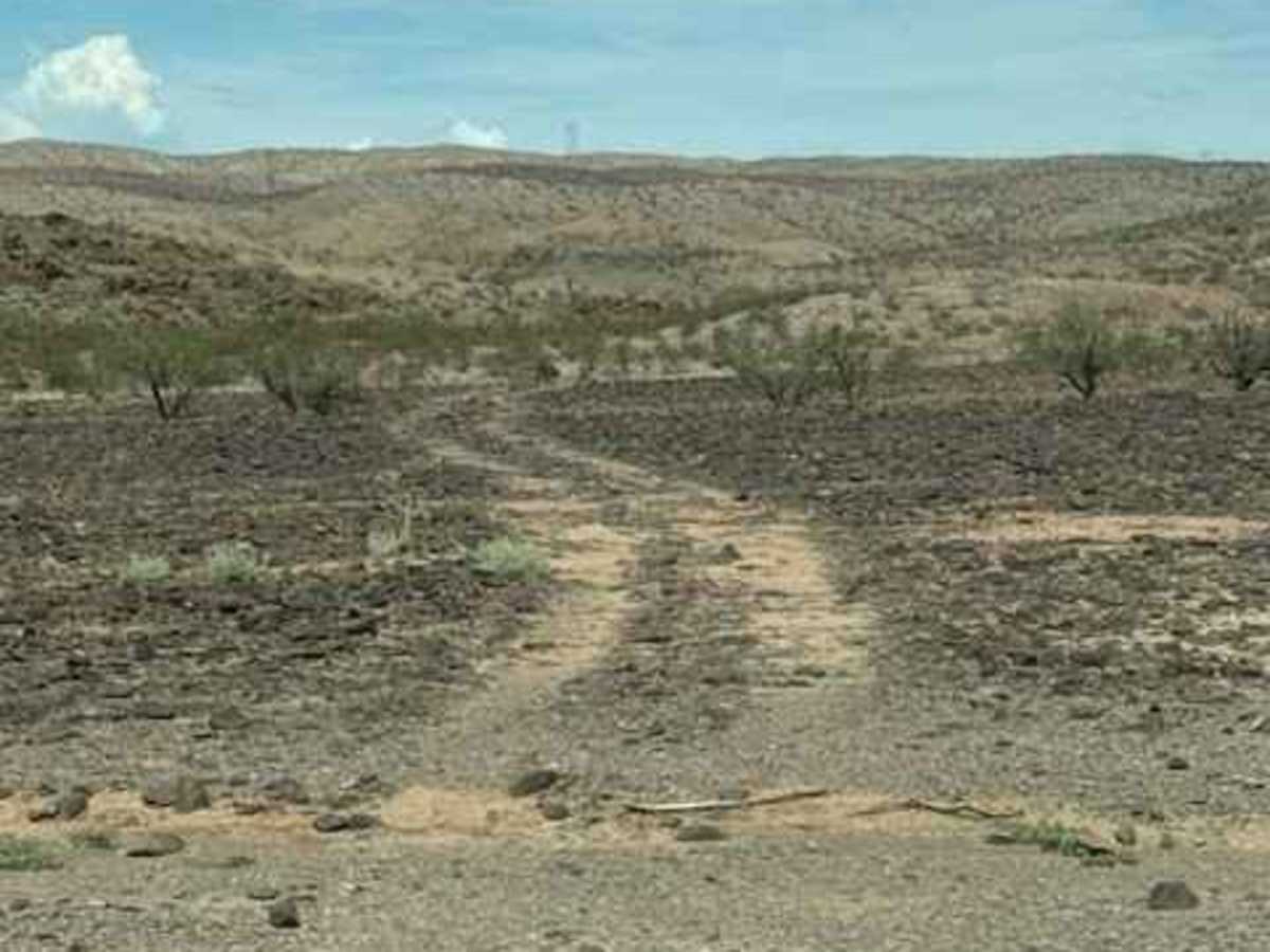
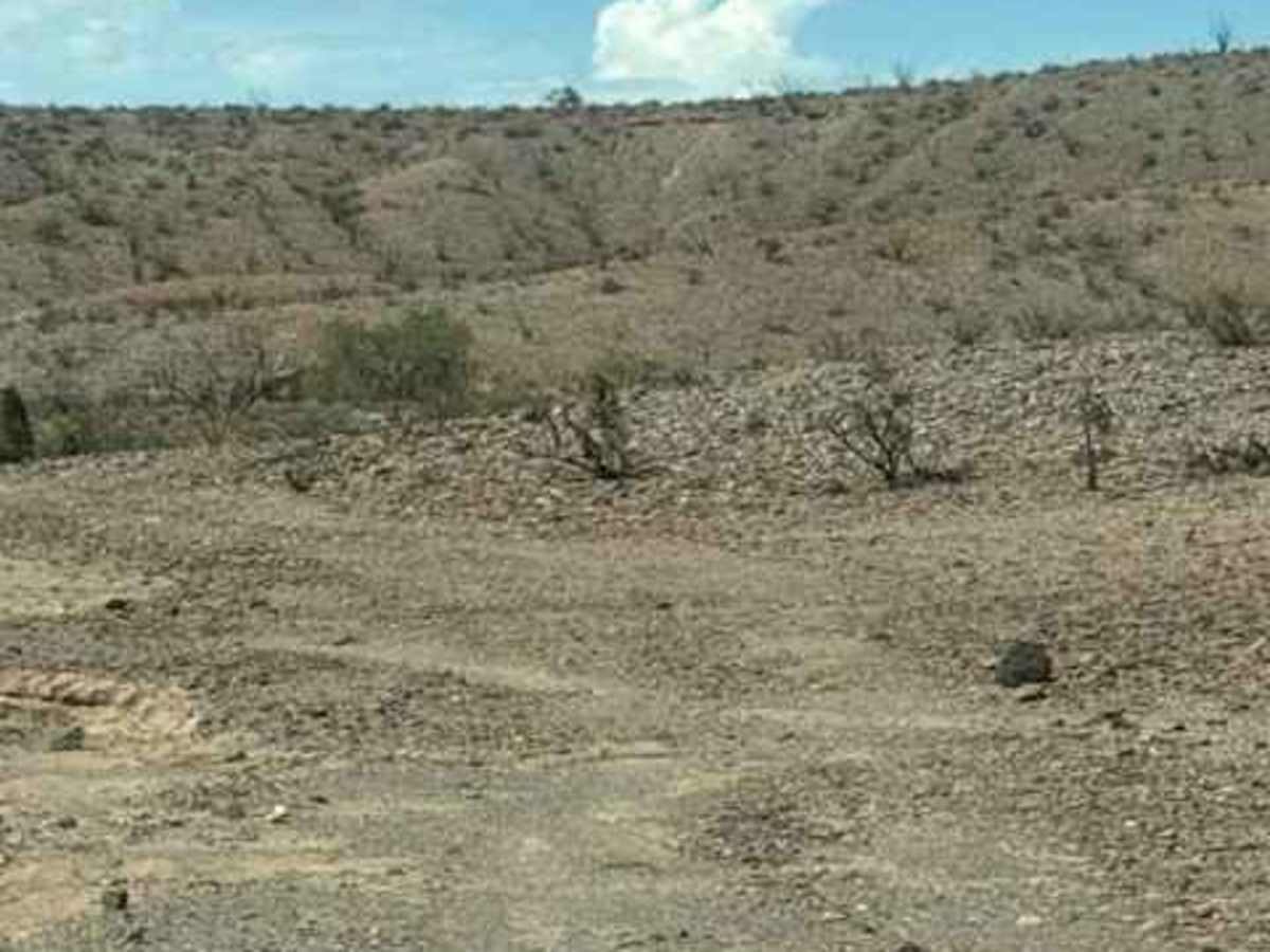
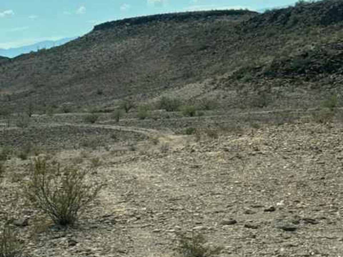
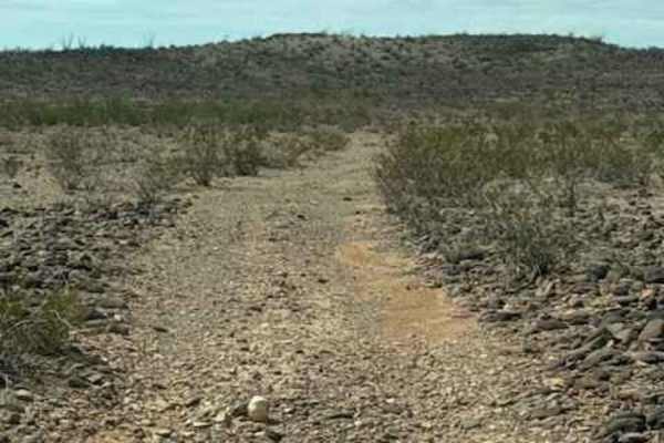
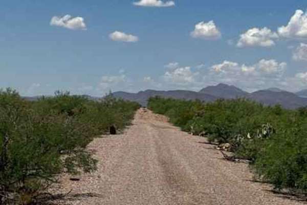
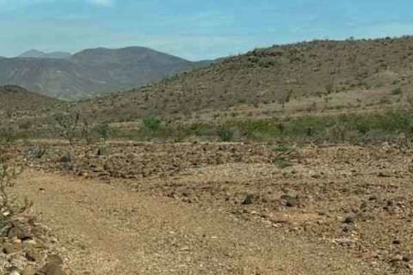
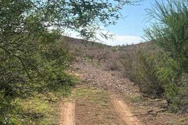
PE1037 begins at the intersection of Powerline Road at the Tank. The trail climbs to the left, crosses over the hilltop above the tank, and then descends back into the surrounding desert valley. The trail consists of loose, 6” rocks, is bumpy in sections, and is lined with creosote and low desert shrubs. Several tanks are along the trail. It winds through rolling desert hills with a few low wash crossings and natural drainage transitions. Expect some bumps, scattered rocks, and a few eroded sections, but all obstacles encountered had reasonable bypasses. No technical obstacles were found. Some sections are becoming overgrown and may result in pinstriping. The trail should be considered impassable when wet. The trail eventually winds down through the valley and ends at a wash. Found several spur trails worth exploring.

Photos of PE1037

Difficulty

Loose Rocks very bumpy, nothing technical no obstacles trail will continue to erode over time with each monsoon. Potential flash flood area.

Technical Rating

2

PE1037 Trail can be accessed by the following ride types:

  • Single Track
  • 50 Inch
  • 60 Inch
  • High Clearance
  • Full Width

PE1037 Map

The onX Offroad Difference

onX Offroad combines trail photos, descriptions, difficulty ratings, width restrictions, seasonality, and more in a user-friendly interface. Available on all devices, with offline access and full compatibility with CarPlay and Android Auto. Discover what you're missing today!

Open Trail Map