BLM PE1031

Total Miles1.1
Technical Rating
3Easy
Best TimeSpring, Summer, Winter, Fall
Trail TypeFull-Width Road
Accessible By
Open Trail Map

Trail Overview

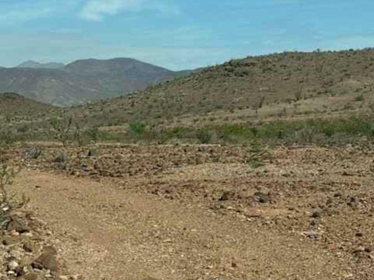
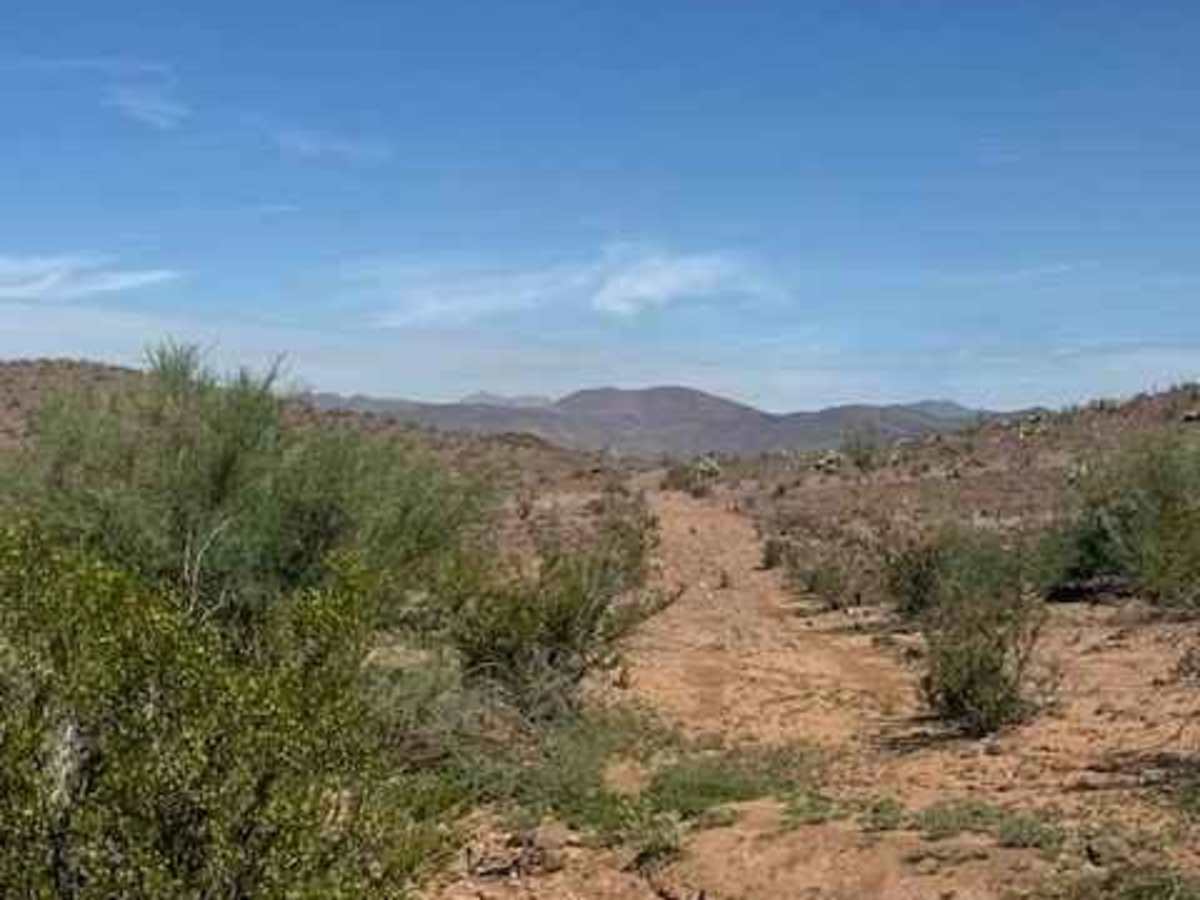
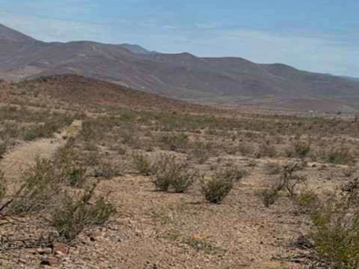
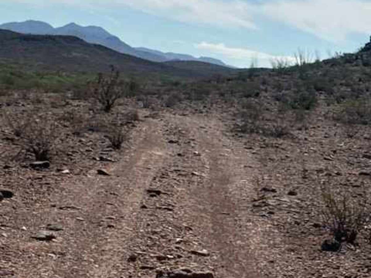
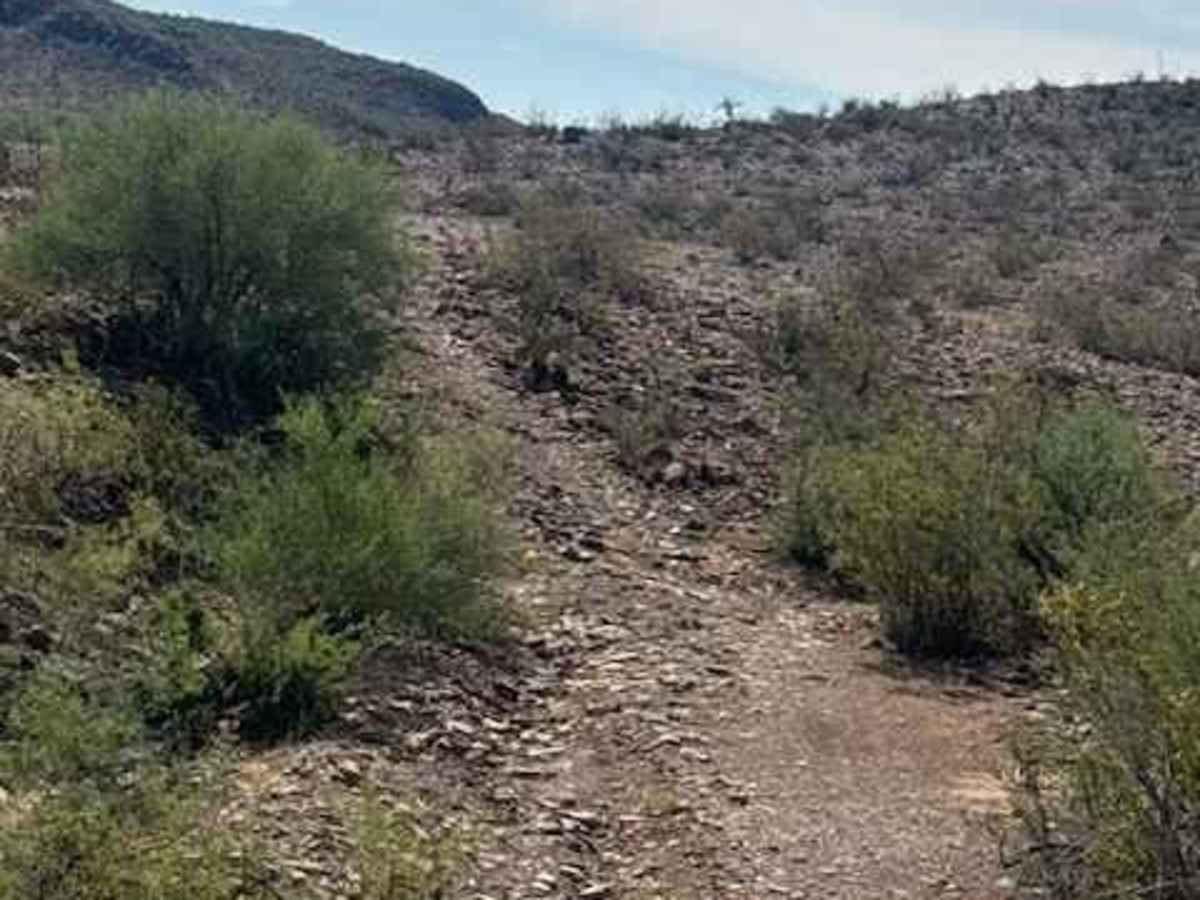
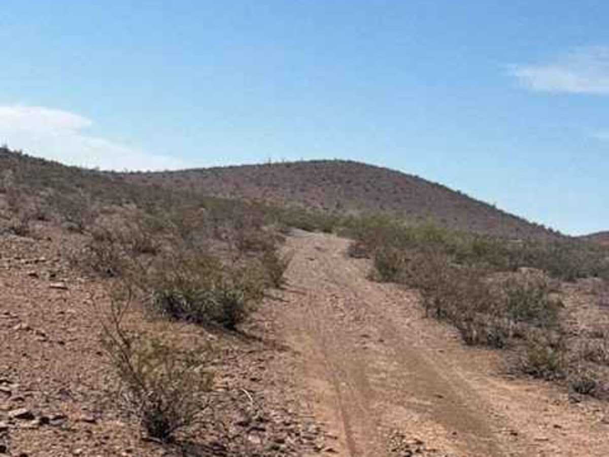
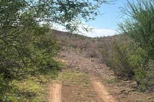
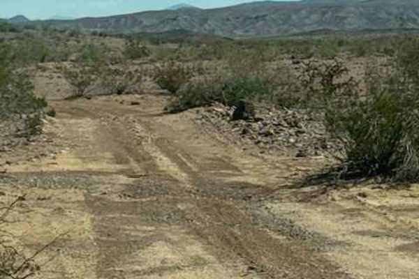
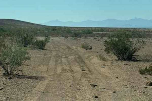
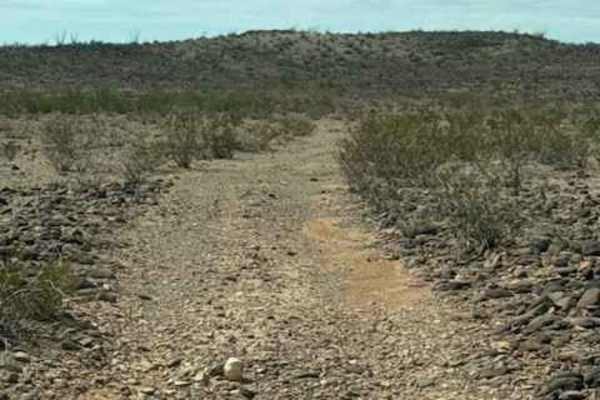
BLM PE1031 is an out-and-back 2-track gravel trail starting at Powerline Road and winds through the desert north around a small mountain. The trail quickly narrows through an overgrown section before reaching a washed-out water ditch with an off-camber transition, making high clearance recommended. After the ditch, the trail widens and follows the base of the mountain, with random loose rocks over 6 inches that are avoidable. One final wash crossing, which does have a significant steep, slightly off-camber drop in and climb out; watch long wheel base vehicles on this last wash. The trail’s endpoint is on the back side of the mountain. Camping in the area. Scenic desert terrain includes lava rock, cholla, ocotillo, barrel cactus, and mesquite.

Photos of BLM PE1031

Difficulty

The trail has 2 sections that require some visual and technical skills to make the wash transitions. The trail is Impassable when wet.

Technical Rating

3

BLM PE1031 Trail can be accessed by the following ride types:

  • Single Track
  • 50 Inch
  • 60 Inch
  • High Clearance
  • Full Width

BLM PE1031 Map

The onX Offroad Difference

onX Offroad combines trail photos, descriptions, difficulty ratings, width restrictions, seasonality, and more in a user-friendly interface. Available on all devices, with offline access and full compatibility with CarPlay and Android Auto. Discover what you're missing today!

Open Trail Map