Trail Overview
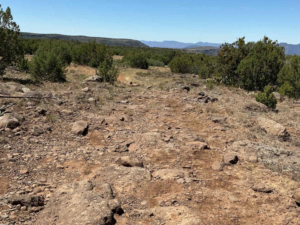
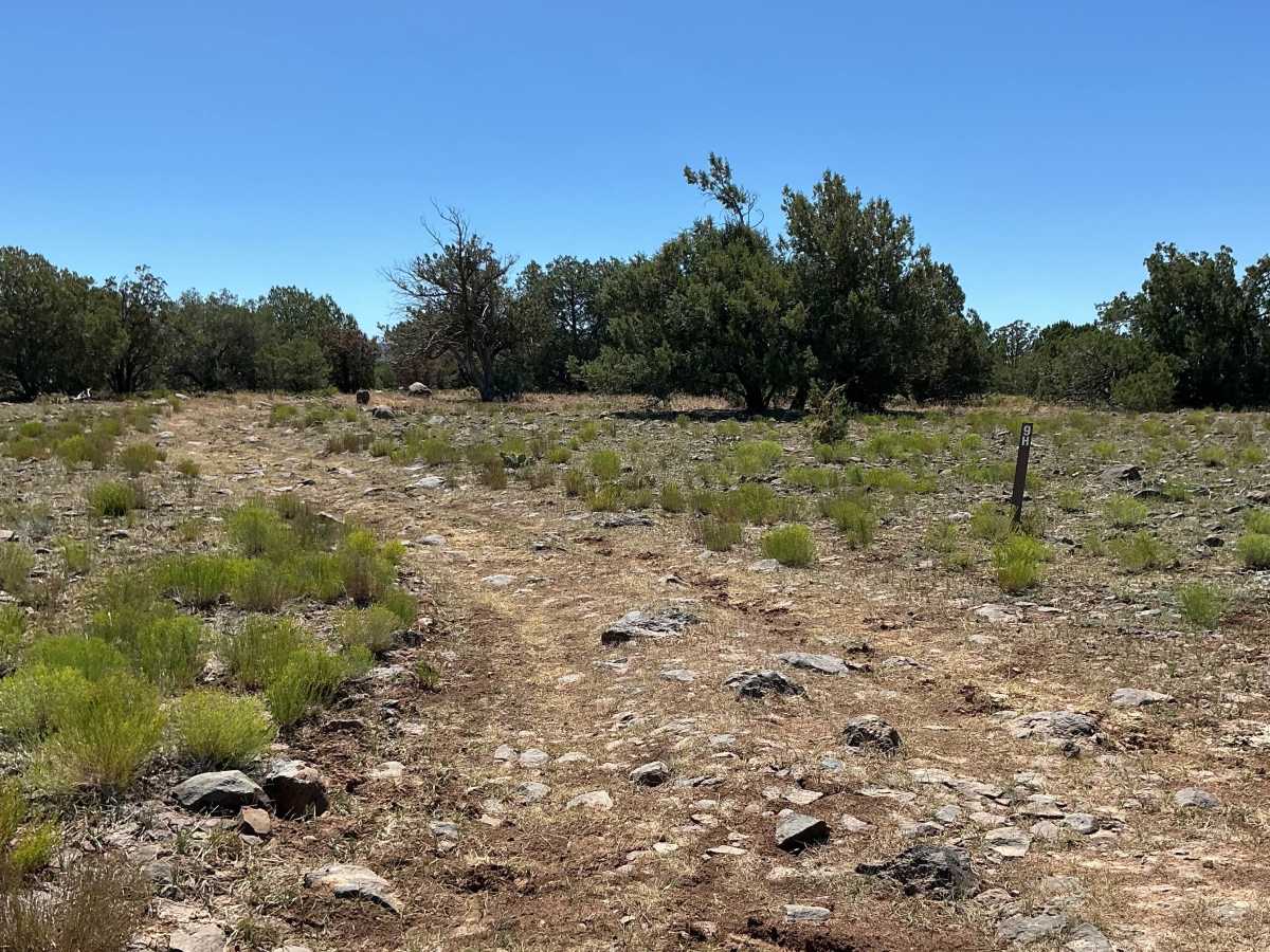
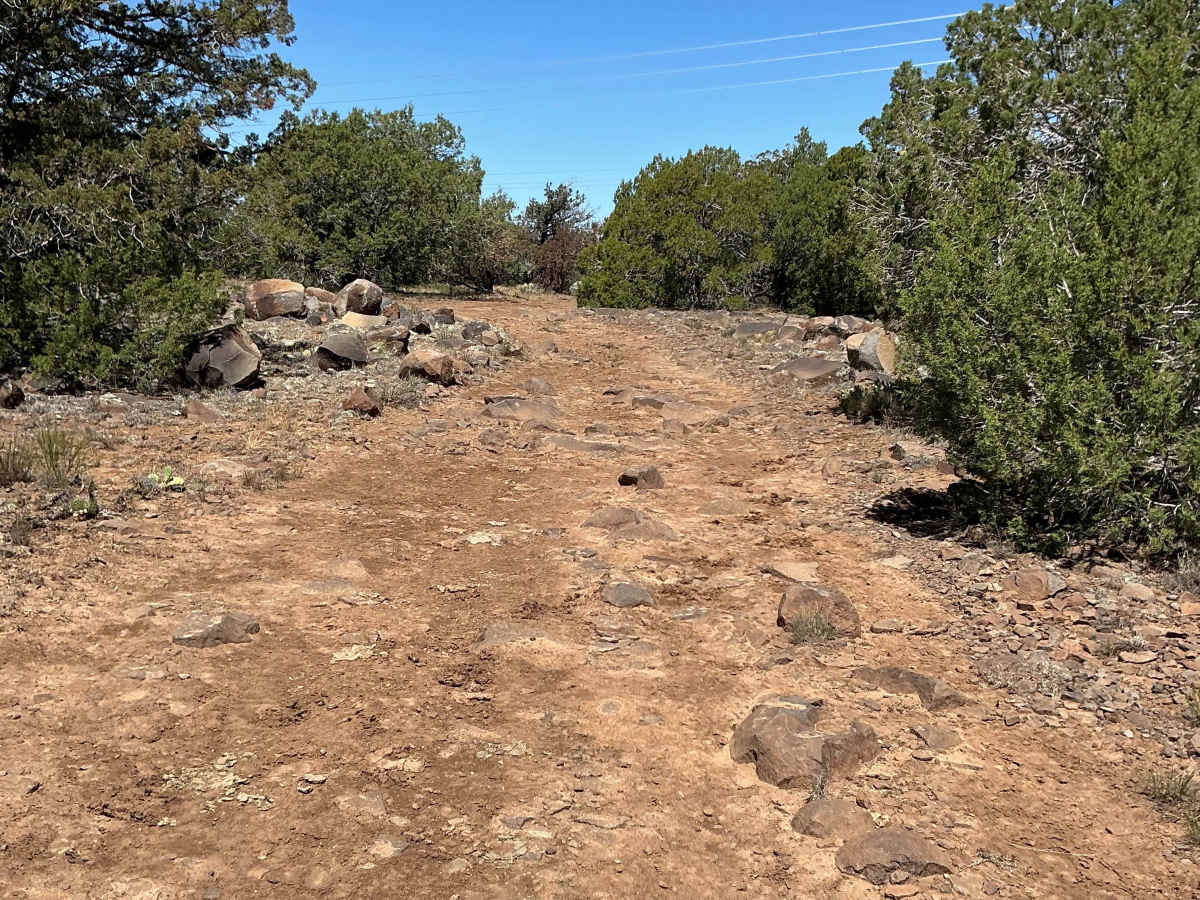
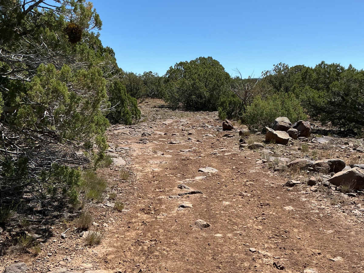
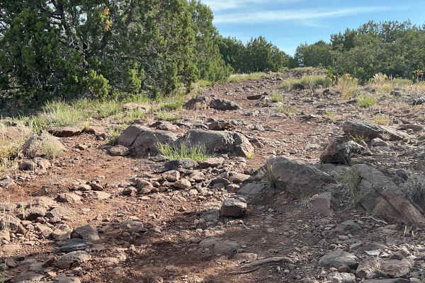
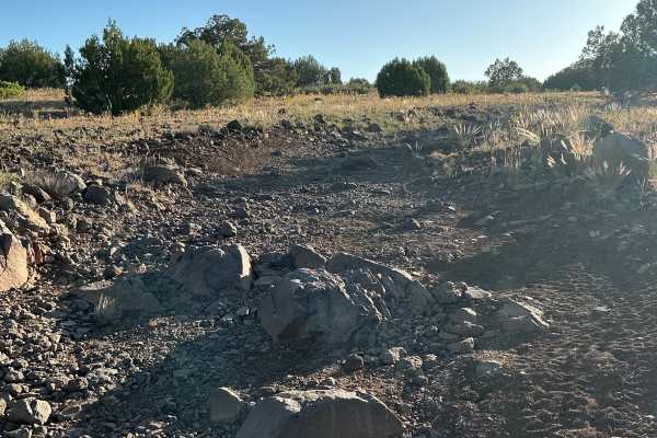
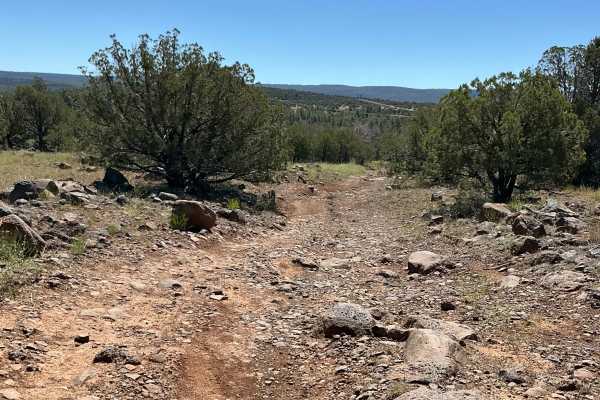
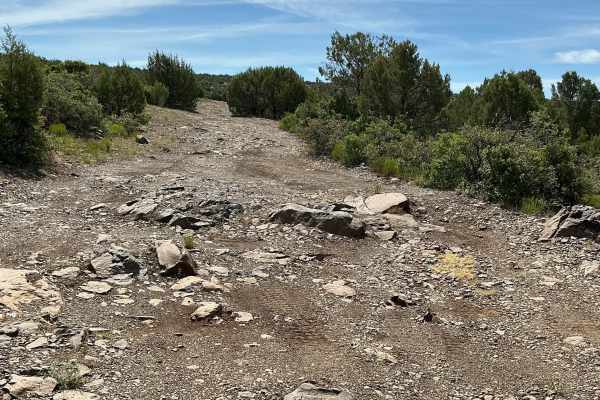
Forest Service Road 9H is just shy of 2 miles long and begins off Forest Service Road 9D. Right from the start, the trail is rocky with several rutted sections. There are also a few low-lying areas that can become extremely muddy after rain or snow. Many of the rocks along the trail bear evidence of undercarriage contact, and the worn surfaces throughout the route suggest that vehicles frequently scrape on the larger obstacles. As you travel south, you'll encounter several sizable rock gardens that require careful navigation and provide the most challenging portions of the trail. Beyond these rocky sections, the trail turns toward the Fossil Springs Wilderness and ends at a spectacular viewpoint overlooking the surrounding landscape, making for a rewarding finish to the route.
Difficulty
Expect an uneven, rutted, and rocky trail with loose rocks, erosion, and several large rock gardens. Obstacles are up to 18 inches in height and may require careful tire placement and adequate ground clearance.
History
The Mail Trail follows part of the historic route used by horseback mail carriers who delivered mail between Camp Verde and Payson from 1884 to 1914. These riders traveled roughly 52 miles across rugged terrain, including the Fossil Springs area, often facing harsh weather, steep canyon country, and difficult river crossings to connect isolated communities.