Trail Overview
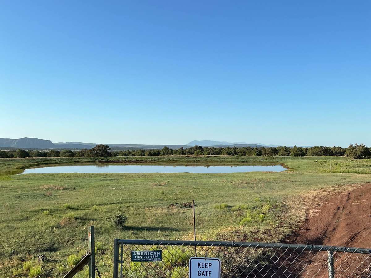
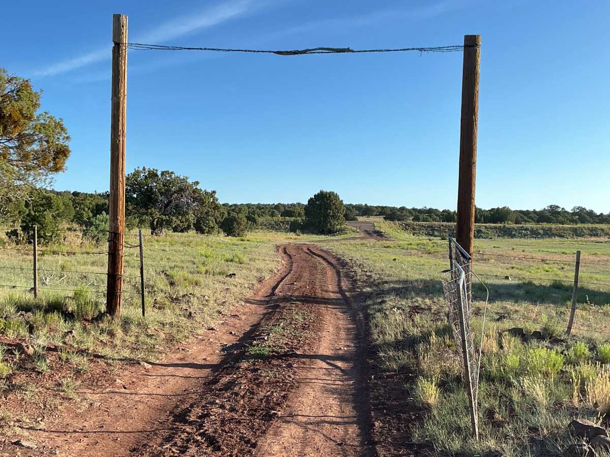
Forest Service Road 9C is just over three miles long and begins off Highway 260. Right at the start of the trail, you’ll encounter a gate that must be opened and closed behind you. From there, the route passes Divide Tank as it heads south.
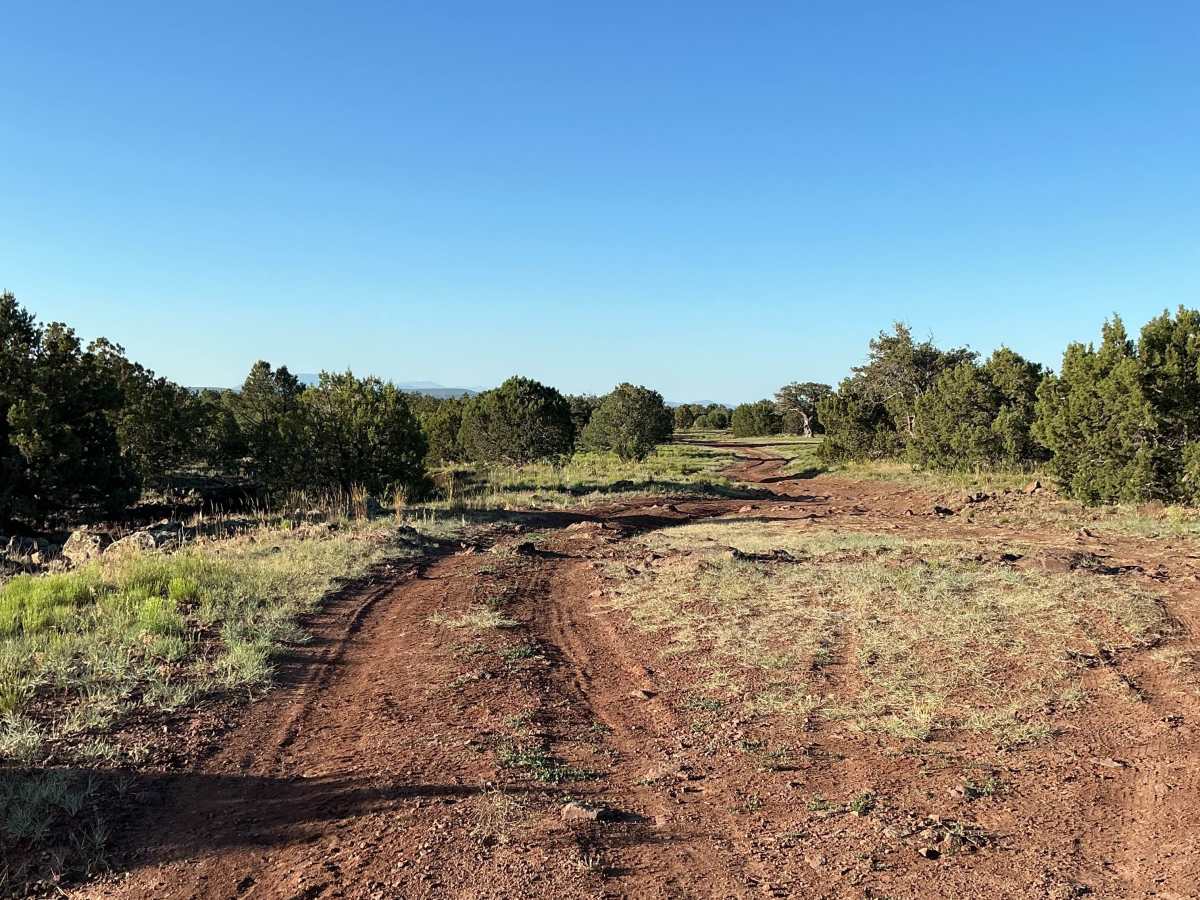
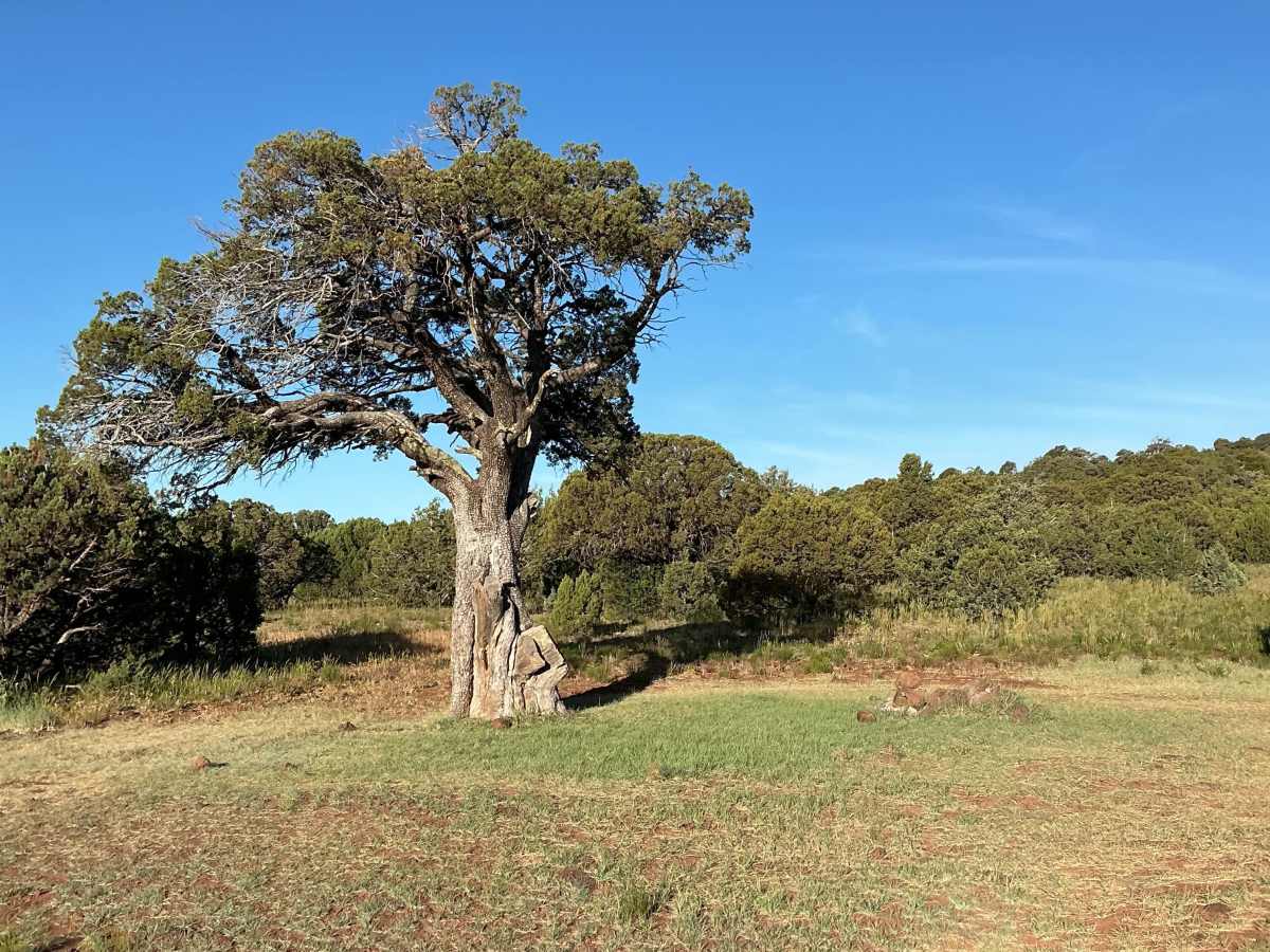
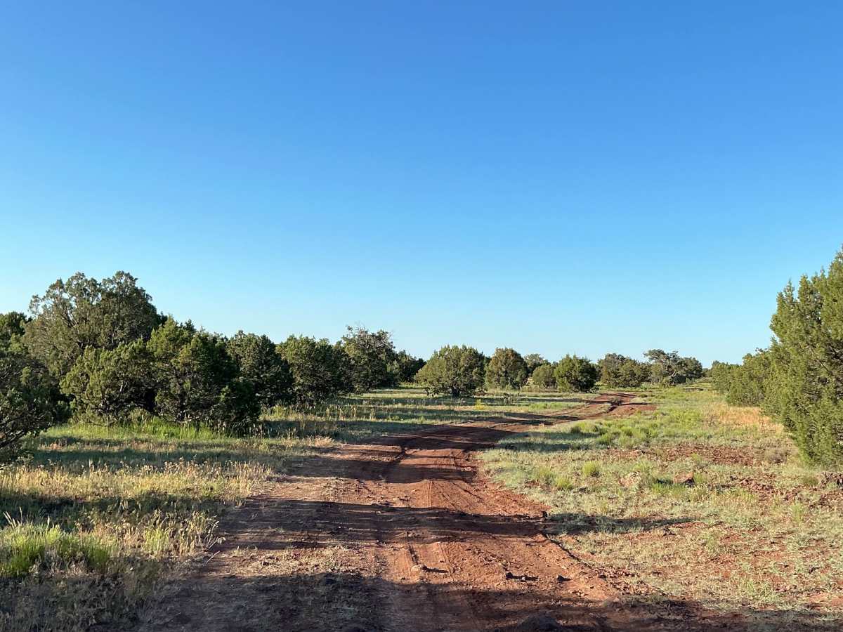
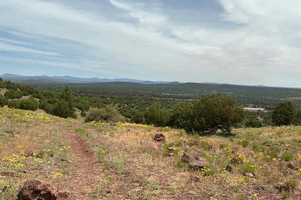
The first half mile features several dispersed camping spots. This section of the trail is relatively easy, with only minor ruts and small rocks. However, portions of the trail can become a muddy mess after rain or snow.
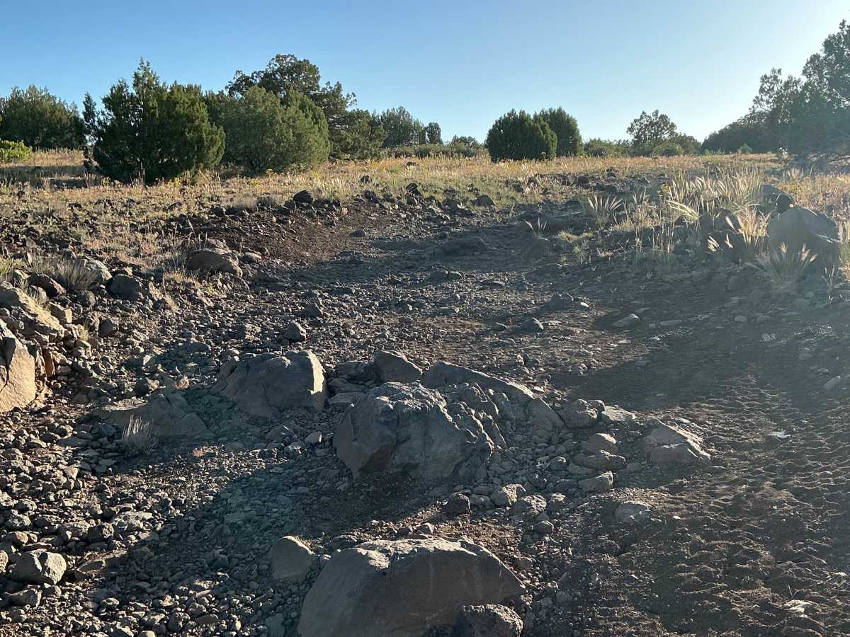
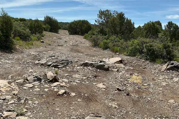
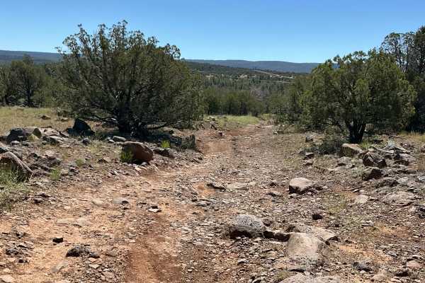
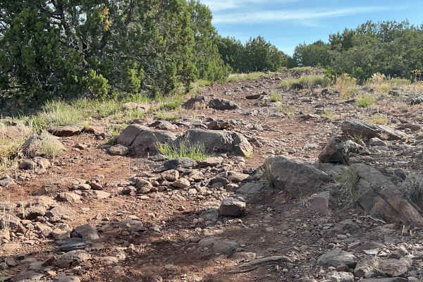
As you continue south, the trail gradually becomes rockier. Several rock gardens appear along this section, making travel slower and more technical. The route passes an unnamed tank on the right before continuing south. From this point on, the trail remains consistently rocky all the way to the end.
There are also several areas where the trail becomes faint and difficult to follow, so paying attention to the route is important. Full-sized 4x4 vehicles should air down before attempting this trail due to the rough, rocky terrain.
Difficulty
Expect an uneven, rocky, and rutted trail with loose rocks and signs of erosion throughout the route. A few obstacles feature rocks over 12 inches tall, though none exceed 18 inches.