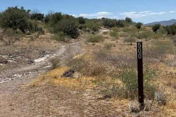
Trail Overview
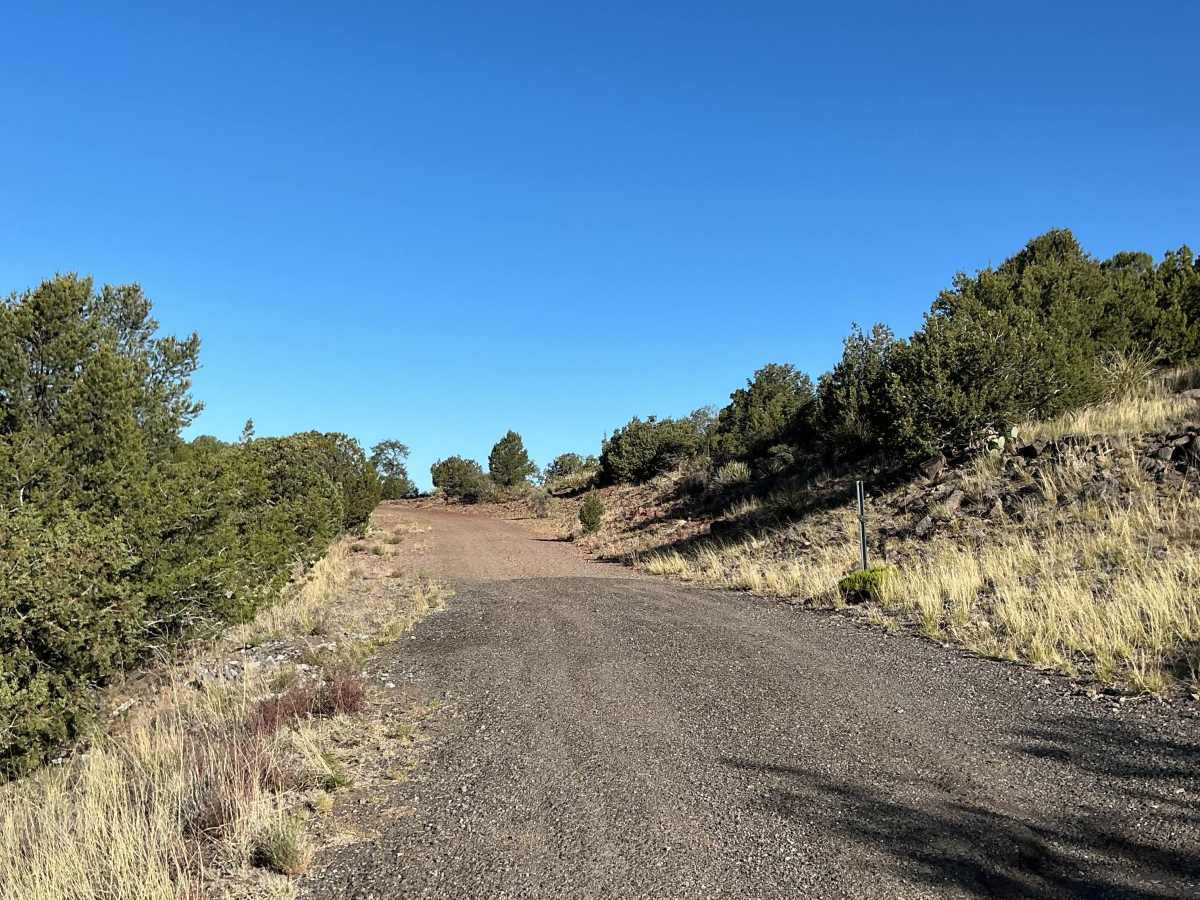
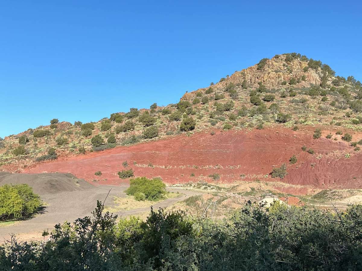
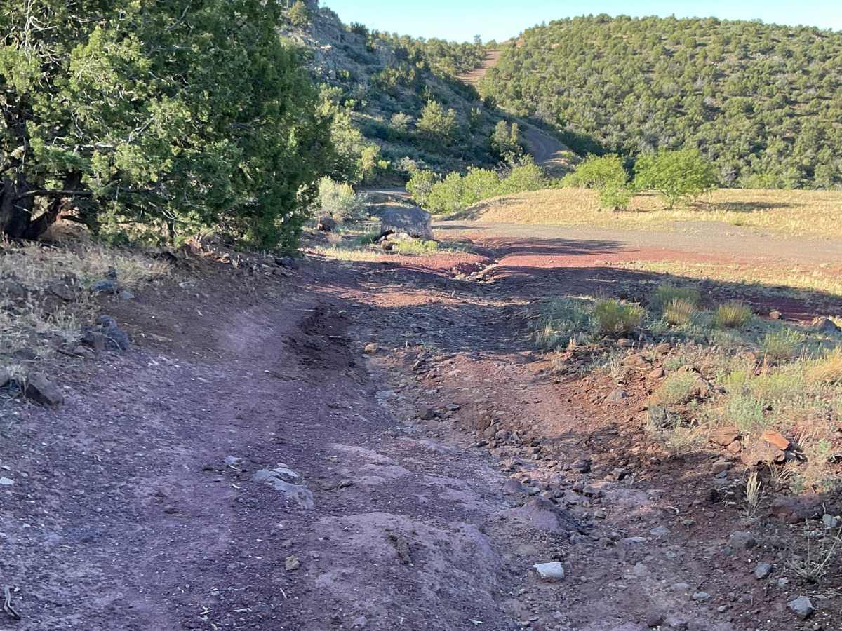
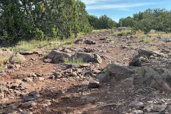
Forest Service Road 9243B is just over 4 miles long and was mapped from Highway 260 to the trail's ending point at Black Mountain Tank. The first quarter-mile is very easy, featuring a maintained gravel surface. After passing a small quarry pit, the trail becomes increasingly rutted and rocky.
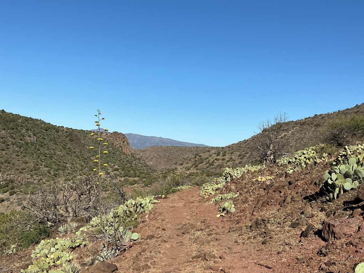
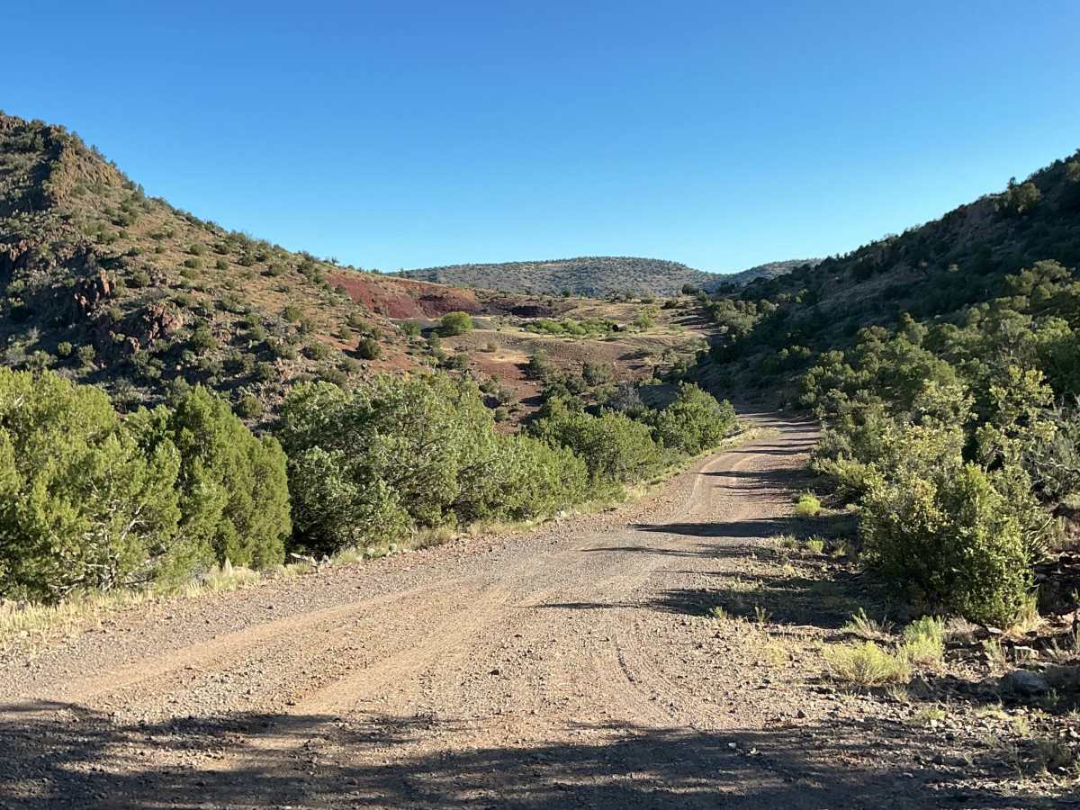
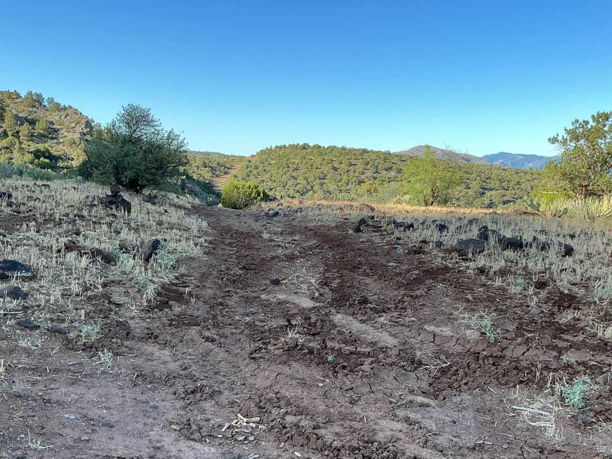
The route quickly transitions into a rocky shelf road with loose rocks covering much of the trail surface. As you make your way toward Parsons Tank, the trail remains rough and rocky, with several sharp switchbacks along the way. The trail then descends into a dry wash where you'll encounter large loose rocks that require careful navigation.
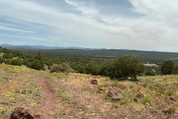
After crossing the wash, the trail turns west and continues as a narrow shelf road with loose rocks and multiple rock gardens. This section could become hazardous during or after precipitation due to the narrow roadway and rough terrain. Near the end of the trail, a sharp switchback leads to the terminus at Black Mountain Tank.
Difficulty
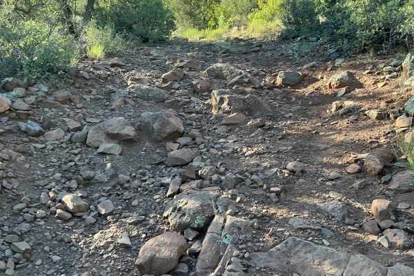
Expect an uneven, rutted, and rocky trail with loose rocks, erosion, and a dry wash crossing. Drivers will encounter obstacles up to 18 inches in height, including rock ledges, large loose rocks, and short, steep grades. Careful tire placement may be required in several sections of the trail.