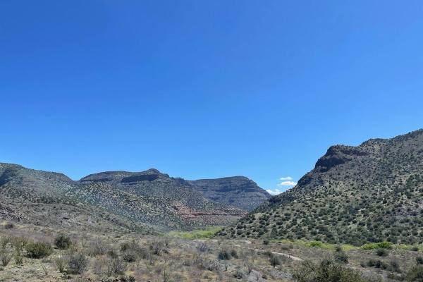
Trail Overview
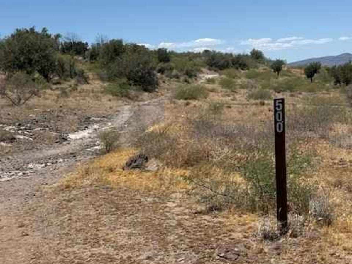
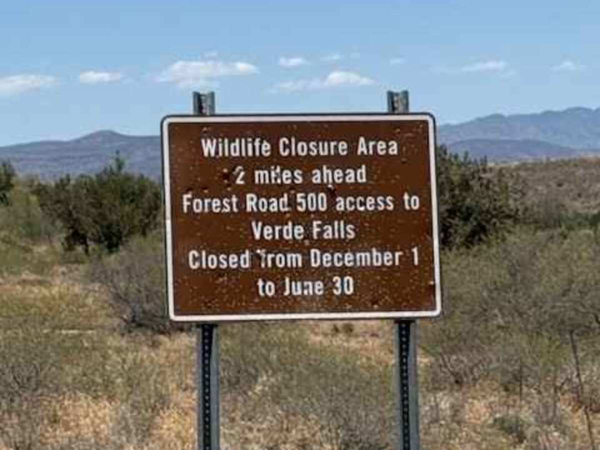
FS 500 begins off Fossil Creek Road and serves as an out-and-back trail leading toward the White Rock area with an access point near Fossil Creek. Parking and staging areas are available at the trailhead. Important seasonal closure information: The trail is closed at the 2-mile marker from December through June 30 due to wildlife protection closures. Access near mile 2 includes the wildlife area and routes toward Verde Falls. A Fossil Creek permit is required, according to signage at the start of the trail.
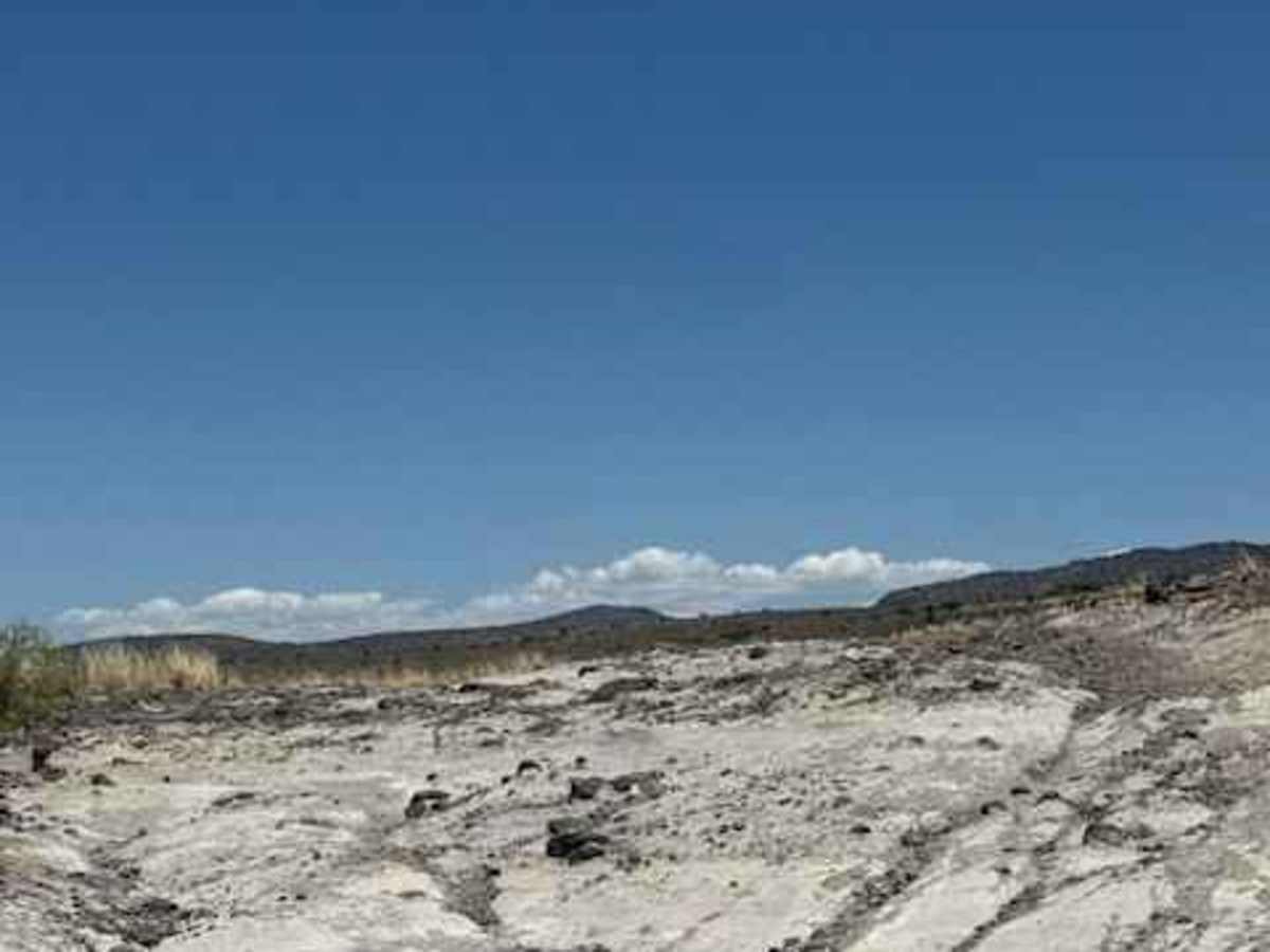
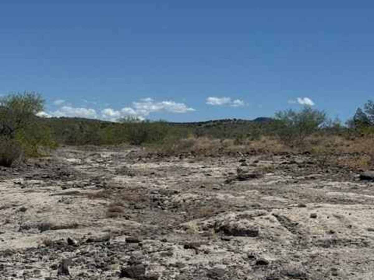
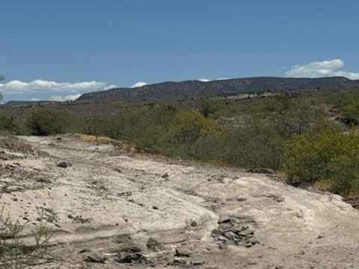
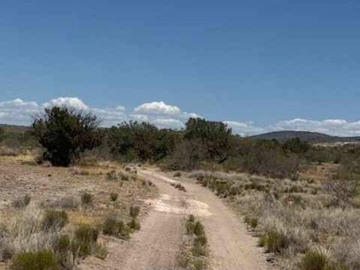
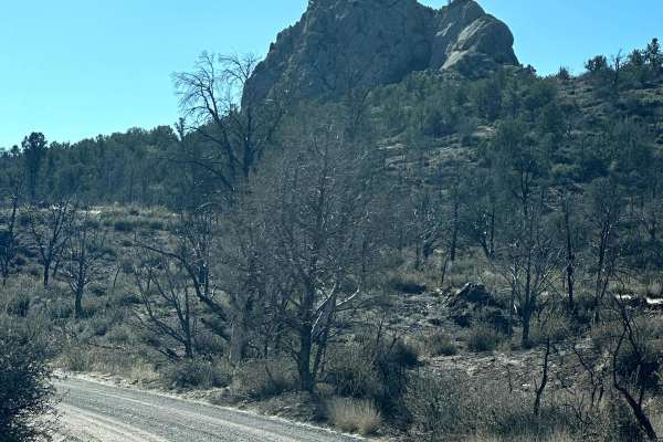
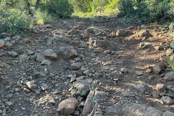
The trail starts with scattered, dispersed campsites and follows a narrow natural two-track that widens periodically. Terrain is rough and consistently bumpy with dirt, gravel, shallow ruts, and uneven surfaces throughout. A cattle guard marks the transition into a narrower portion of the trail where brush and vegetation begin crowding the route. Pinstriping is possible through tighter areas.
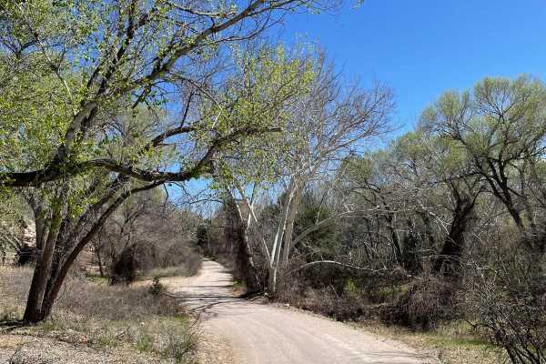
Further in, the trail crosses a creek bed and becomes increasingly enclosed by overgrown trees and bushes. Several sections feel more remote and natural, with hiking opportunities, exploring side areas, dispersed camping, and accessing the creek corridor.
Some portions of the trail narrow into shelf-road style sections where drivers should pay close attention to oncoming traffic, as passing areas can be limited. Use caution during wet weather, as creek crossings and narrow sections can quickly become difficult or impassable.
Seasonal permit access toward Fossil Creek and Verde Falls, some camping opportunities,
Difficulty
Rock shelves and obstacles, loose rocks. High clearance necessary impassable in bad weather,, fossil creek permit required