Trail Overview
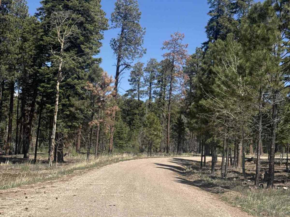
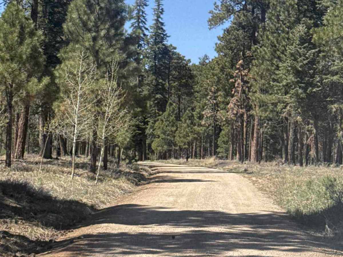
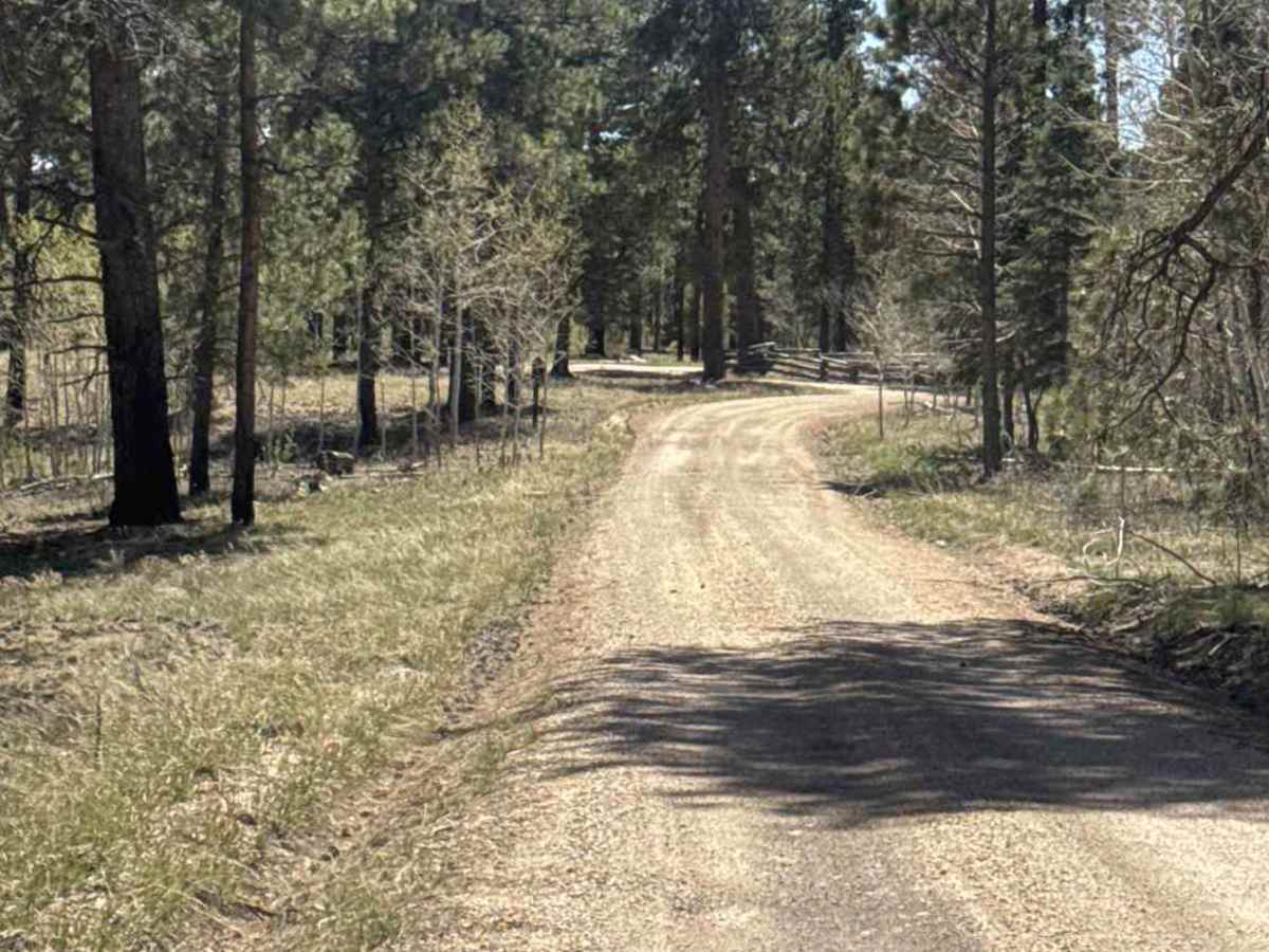
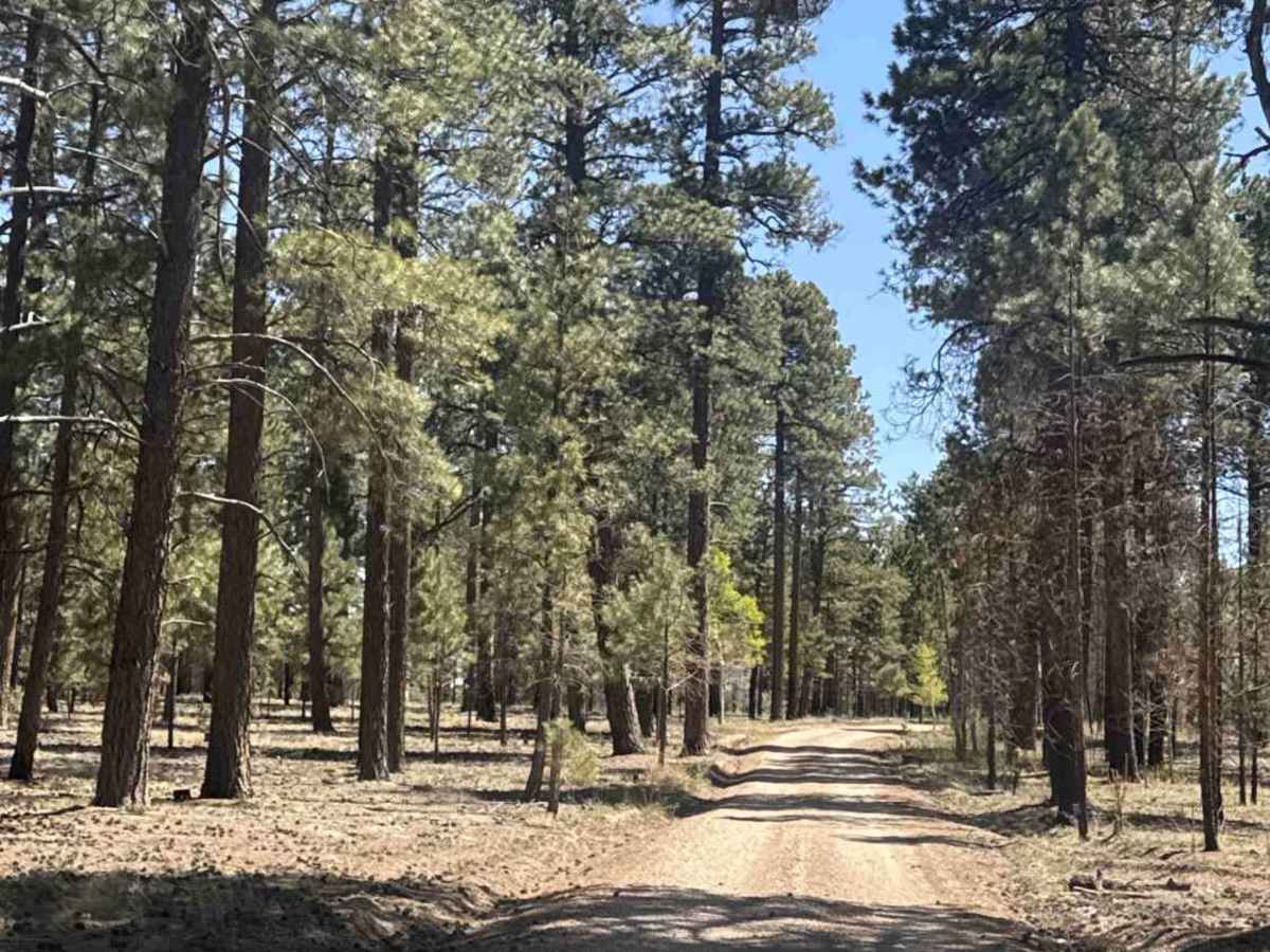
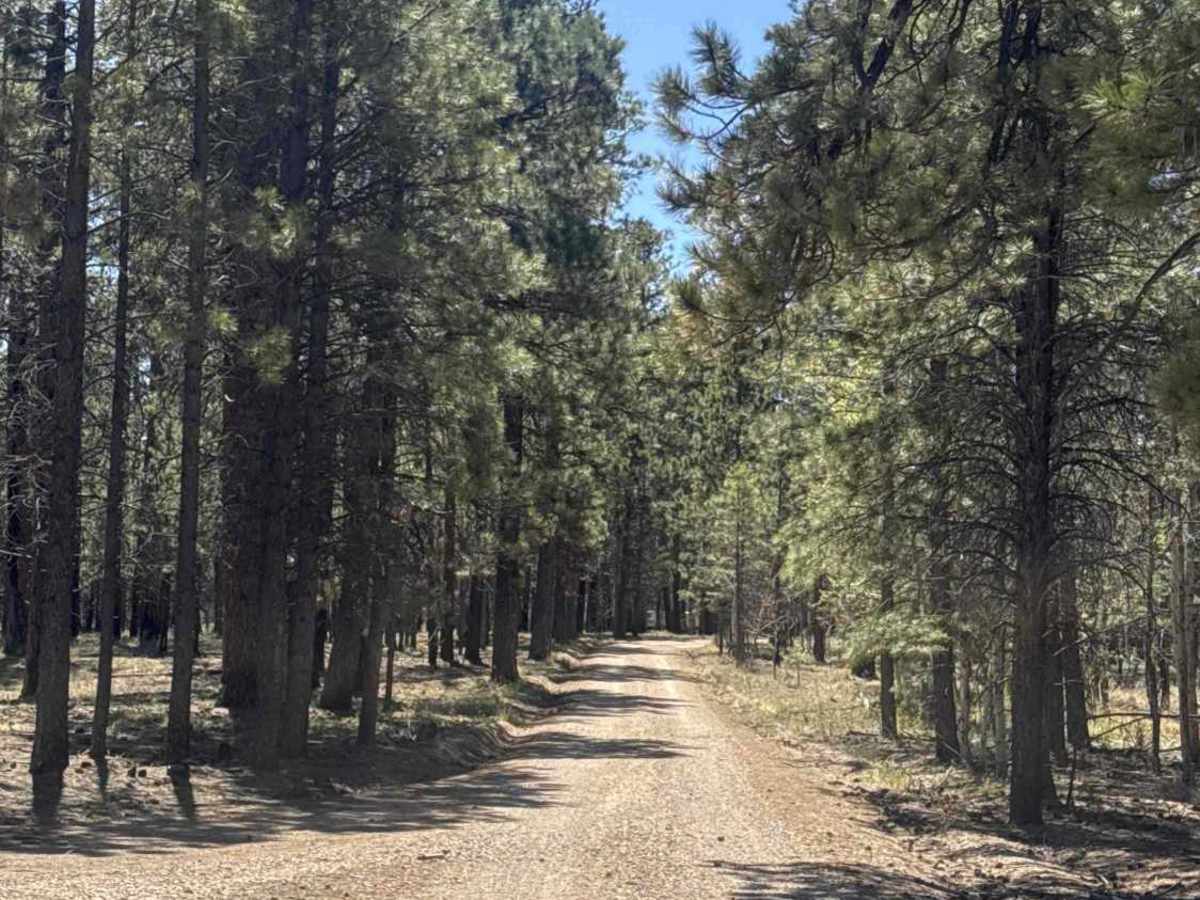
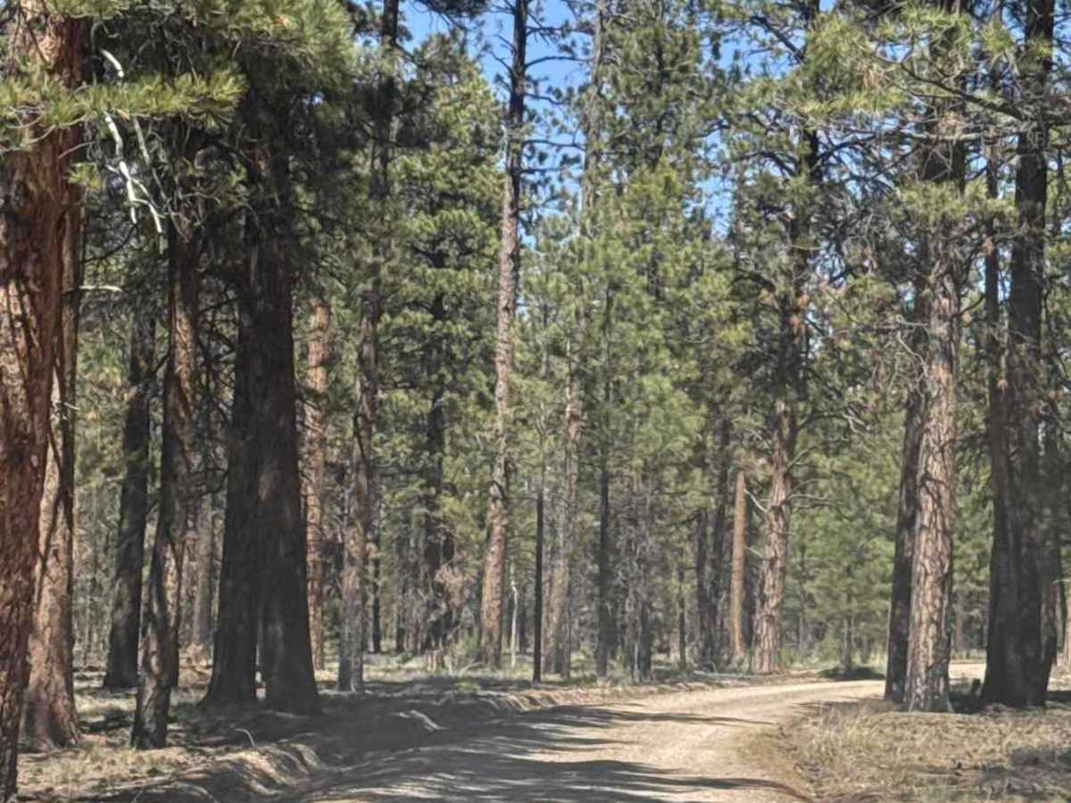
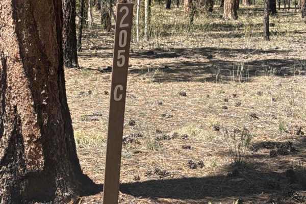
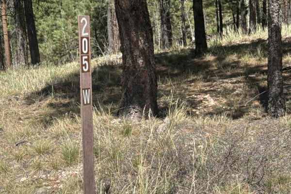
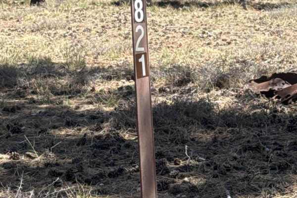
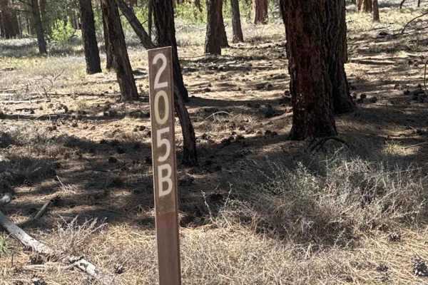
This segment serves as a continuation of FS 205, functioning as a key connector route through the forest. It links the Murrys Lake Trailhead — which features a well-appointed parking area and vault toilet — to Highway 67 on one end, and to the Great Western Trail connector at Buffalo Ranch on the other. Note that the Highway 67 section is closed seasonally. The trail is a straightforward gravel road with no technical challenges or obstacles, suitable for both 2WD and 4WD vehicles. Campsites are available in the surrounding area. The route is lined with Ponderosa Pines and Aspens, making it a particularly scenic drive and an excellent destination for fall foliage viewing. An accessible, welcoming trail well-suited for a wide range of visitors and skill levels.
History
The Great Western Trail's roots trace back to 1776, when Spanish priests Dominguez and Escalante camped with Paiute Native Americans at the base of the Kaibab Plateau. The trail the Natives showed them — now known as the Jacob Hamblin/Mormon Honeymoon Trail — still exists, along with Beale's Wagon Road and the Moqui Stage Station, all part of the Great Western Trail today. The modern trail took shape when Lyle Gomm, the "father" of the GWT, organized an inter-agency team in 1985 to formally develop the route. In 1988, it was first thru-hiked from Canada to Mexico, and by 1990, the Great Western Trail Association was officially incorporated. It was designated a National Millennium Trail in 1999. The GWT reaches Buffalo Ranch after crossing the Navajo Bridge over Marble Canyon and skirting the Vermilion Cliffs, where it begins a dramatic ascent into the mountains along the base of the Kaibab Plateau, a gateway point steeped in Native American, Spanish, pioneer, and cattle ranching heritage.