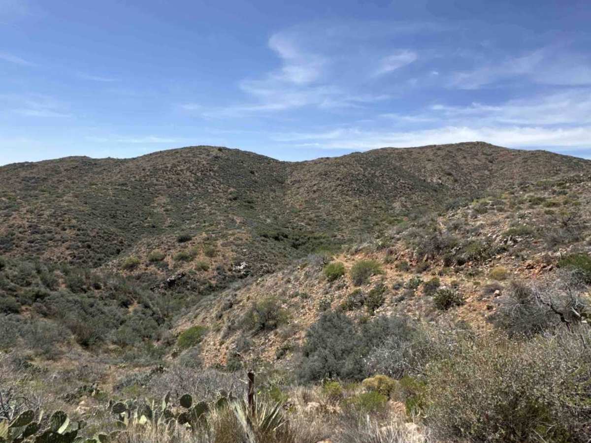
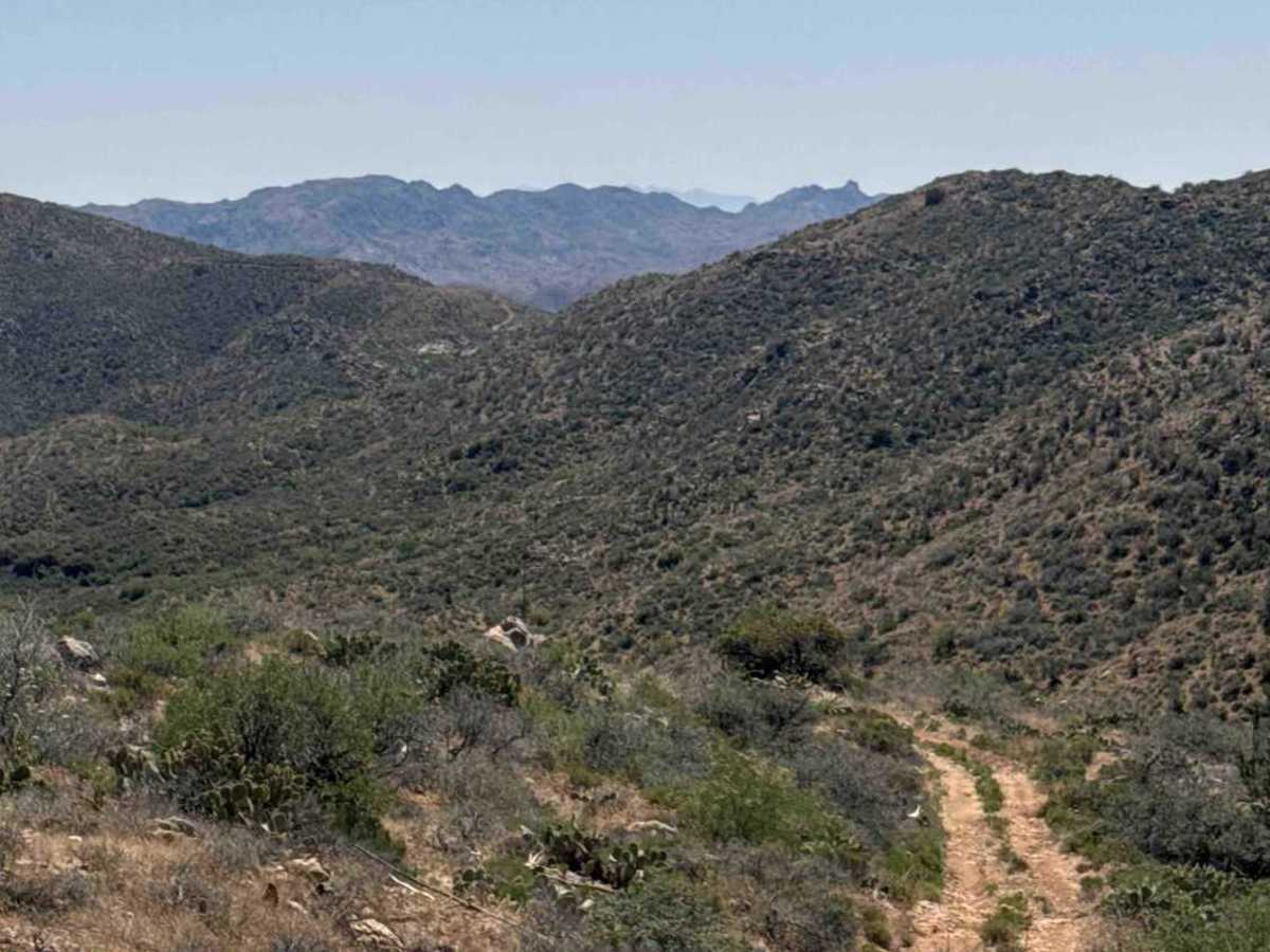
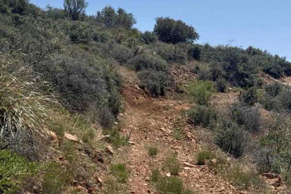
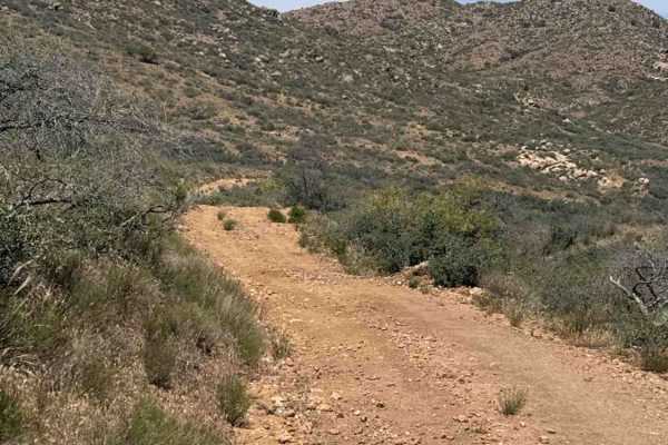
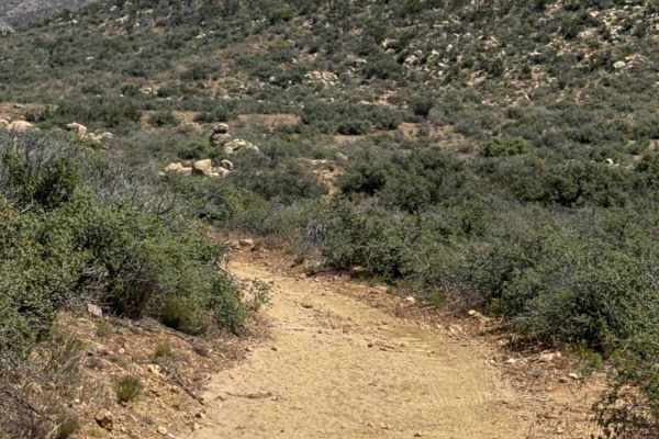
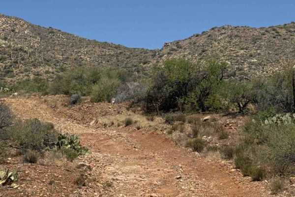
Trail Overview
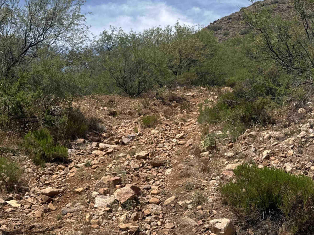
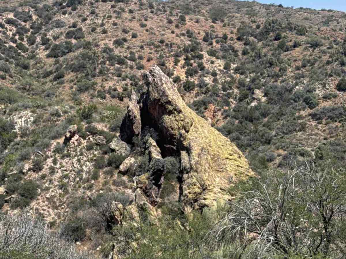
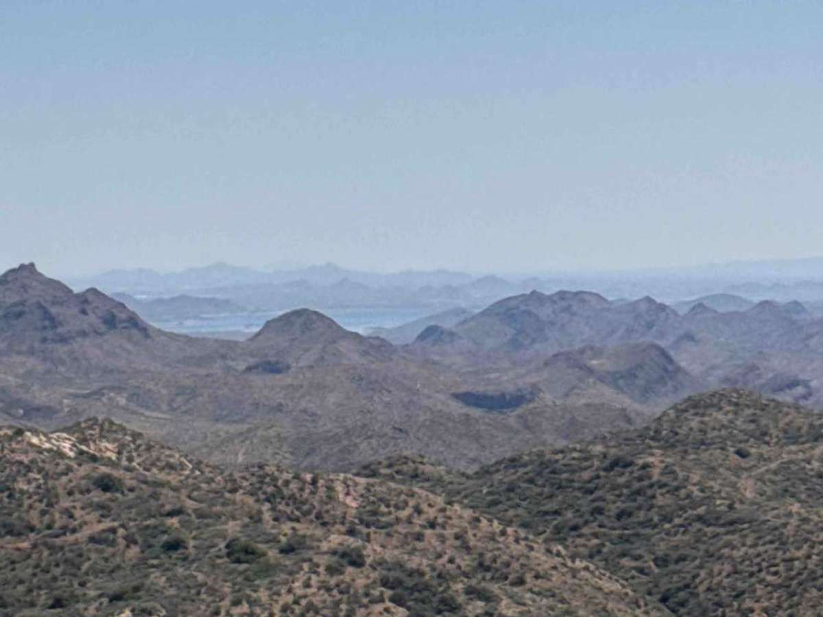
This trail is a point-to-point route that begins at the top of Cow Pen Trail and crosses State Trust Land, where a permit is required. It follows a narrow, rocky, and rutted shelf road with several washed-out sections, including larger washouts on hills that require careful tire placement and a high line along the mountainside; wider vehicles may encounter light body pinstriping. The shelf road changes sides along the mountain, with transitions that are also washed out on curves, so maintaining a wide, mountain-side line is recommended; while not overly technical, four-wheel drive low range and slow, attentive driving are necessary. There are few, if any, safe passing areas, and oncoming traffic may require backing up, while the trail ends near a windmill tank with additional connectors, including a motorcycle trail and another route. This remote trail offers excellent views but is best traveled with another vehicle due to its isolation and conditions that are likely to worsen with future monsoon rains.
Difficulty
This trail features steep climbs, deep ruts, and large washouts that can make travel challenging. 4WD in low range with high clearance is recommended, and conditions are expected to worsen over time. The route includes a narrow shelf road with limited turnaround opportunities, so watch carefully for oncoming traffic as one vehicle may need to reverse to pass.