
Off-Road Trails
Near North Clarendon, Vermont
Off-Road Trails Near North Clarendon, Vermont
Discover the best offroad trails near you. Browse trail maps, check difficulty ratings, and find your next adventure — whether you're looking for a quick ride or an all-day expedition.
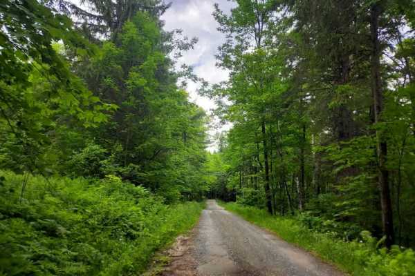
Messer Hill Road
This trail offers a diverse experience, transitioning through a variety of surfaces ranging from well-maintained gravel to classic dirt two-track. As you drive the path, you will be accompanied by the scenic beauty of nearby streams and cascading waterfalls. The trail concludes at a spacious turnaro...
Learn more about Messer Hill Road
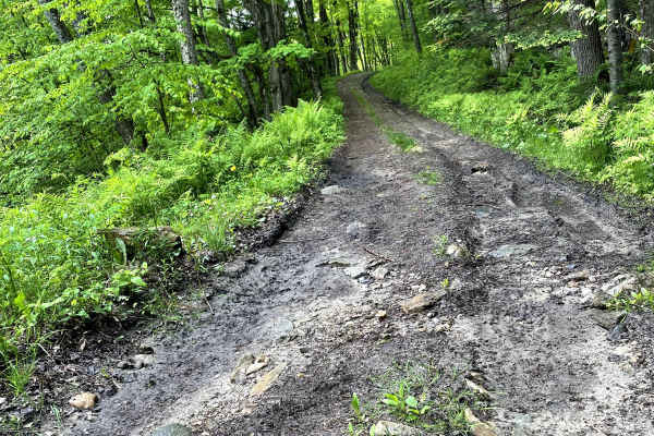
Beaver Meadow Trail - FS 76
This trail starts as an easy, two-way gravel road, passing the Meadow Brook Winter Trailhead (FS 76A) and a large parking area beside a shallow stream. Just beyond, a subtle entrance on the left marks the beginning of the Grade 3 section. The scenery quickly shifts as the trail dives into dense fore...
Learn more about Beaver Meadow Trail - FS 76
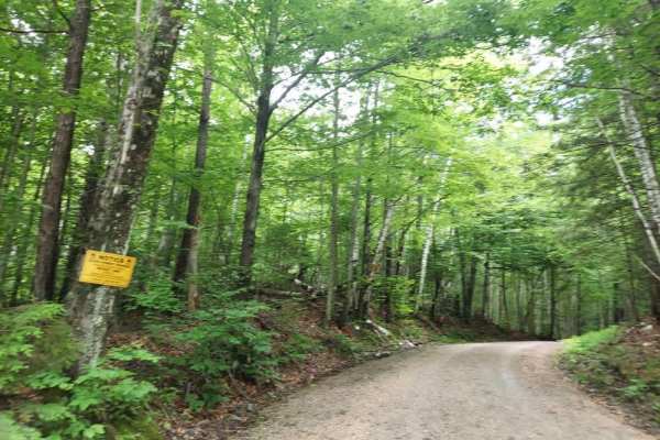
Quarry Road
This route features a smooth, well-maintained gravel trail winding through Coolidge State Forest. It includes several primitive roadside campsites, one of which is situated directly next to a small waterfall. While the trail is wide enough for two vehicles to pass in most areas, please be aware that...
Learn more about Quarry Road
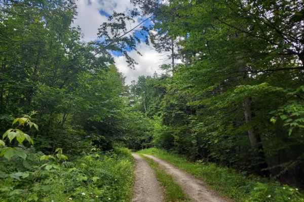
Bruyn Road
This scenic two-track shelf trail winds through a parcel of the Coolidge State Forest, featuring a challenging switchback and views of a shallow gorge. Throughout the route, you will encounter multiple waterfalls, one campsite pull off located directly beside the trail, eventually leading to a seclu...
Learn more about Bruyn Road
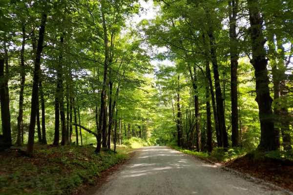
Bridgewater Hill Road
This route features a smooth gravel surface that winds through a dense hardwood forest before transitioning into clearings that offer spectacular views of the surrounding mountains. While the track is bordered by large private residential properties on both sides, the area remains heavily forested, ...
Learn more about Bridgewater Hill Road
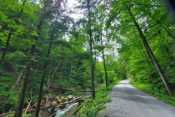
Rangers Road
This is a smooth gravel trail leading into Coolidge State Forest. Whetstone Brook runs alongside the route for much of the way, offering numerous scenic photo opportunities and fishing spots for the adventurous. Please be mindful that the southern end of the trail features a large parking area for V...
Learn more about Rangers Road
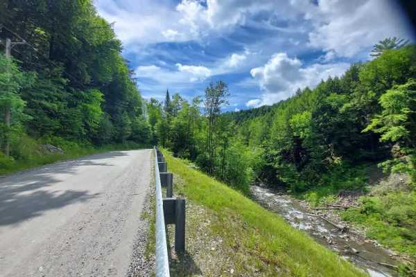
Dailey Hollow Road
This route follows a feeder stream, offering scenic views from elevated shelf road sections. The trail consists primarily of maintained gravel, though it features a few rough patches, particularly following mud season. The route transitions from a stretch lined with private residences on one end to ...
Learn more about Dailey Hollow Road
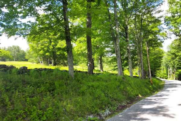
Lynds Hill Road
This route follows a smooth gravel path that offers excellent opportunities for wildlife viewing and scenic mountain vistas. The well-maintained road passes by several residences and serves as an active thoroughfare for equestrians, pedestrians, and cyclists. Please practice courtesy when passing ot...
Learn more about Lynds Hill Road
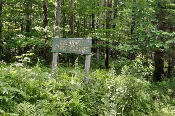
Coolidge State Park Road
This well-maintained trail winds through a state park forest, where you should remain alert for non-motorized, multi-use traffic. It is rather steep, but the sign makes it seem like it will be worse. The route is toll-free until the state park entrance. A highlight of the trail is a historic Civilia...
Learn more about Coolidge State Park Road
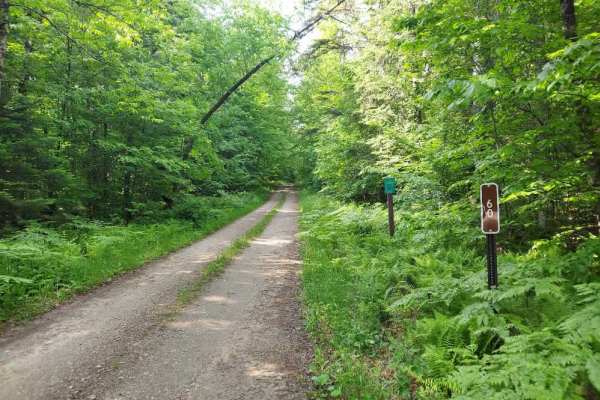
Black Branch Trail
Black Branch Trail, also known as Forest Service Road 60, is a scenic out-and-back route. The trail follows a narrow two-track corridor beneath a dense canopy of hardwoods, providing a peaceful backcountry experience with very little traffic. Multiple primitive campsites can be found along the route...
Learn more about Black Branch Trail
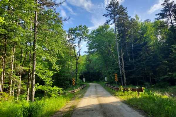
Old Job Road
Old Job Road, also known as Forest Service Road 30, is an easy two-track path that winds through dense forests, scenic beaver swamps, and bogs. Accessible to most vehicles, the route features primitive campsites, backcountry bridges, and several intersecting hiking trails. Expect a tranquil experien...
Learn more about Old Job Road
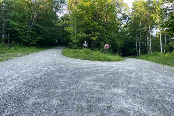
Old Job Rd Trail
An easy drive just off a fork from FR 10. A few twists and turns through the trees take you to a spectacular camping area right on the water. This one-vehicle-wide dirt road will bring you over a bridge and through the woods- some parts on foot, others on wheels. Foot traffic is welcome to cross thi...
Learn more about Old Job Rd Trail
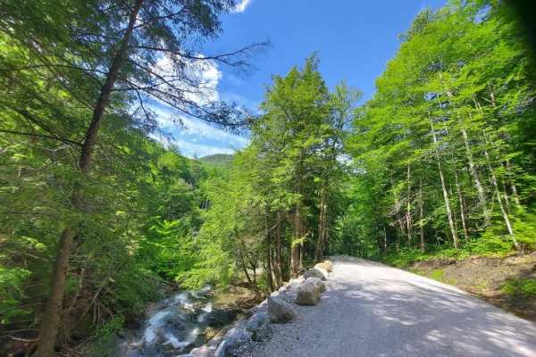
Hale Hollow Trail
This lower section of Hale Hollow serves as an ATV and SxS trail that offers numerous opportunities for roadside fishing and access to hiking trails within the Arthur Davis Wildlife Management Area. The route concludes at a four-corners parking area, which features an informational kiosk with detail...
Learn more about Hale Hollow Trail
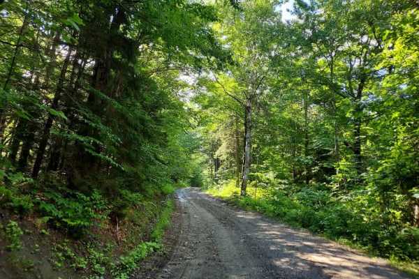
Fletcher Brook Road
Fletcher Brook Road is a seasonal route that opens on May 23rd and closes at the first snowfall. The surface consists primarily of loose dirt and gravel, featuring several rough sections. Please be aware that this is an active logging road and a popular powersports route; remain vigilant and always ...
Learn more about Fletcher Brook Road
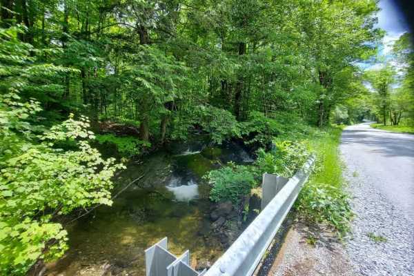
Hale Hollow Road
This upper portion of Hale Hollow features a well-maintained gravel road that offers scenic views of the Vermont countryside, winding through dense forest and open pasture land. The route follows the path of Broad Brook as it flows down toward the Arthur Davis Wildlife Management Area. There are num...
Learn more about Hale Hollow Road
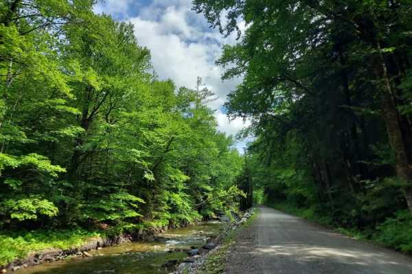
Chateauguay Road
This scenic, well-maintained route follows the North Branch Ottauquechee River, gradually gaining elevation to offer sweeping vistas before winding back into the forest. Along the way, you will encounter historic barns and charming houses that border a local conservation area, providing a perfect bl...
Learn more about Chateauguay Road
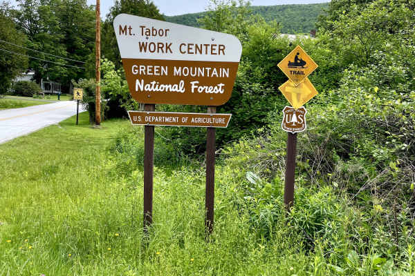
Danby Depot Spur - FS 48A
A quick spur through an easily accessible forest trail set on the west side of the Green Mountain National Forest. This spunky trail may be short, but the sounds of being in the middle of nowhere quickly consume you. While traversing slightly rutted dirt tracks, you'll come upon a couple of small hi...
Learn more about Danby Depot Spur - FS 48A
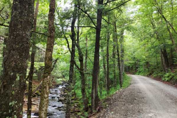
Bridgewater Hollow Road
This fantastic, well-maintained out-and-back spur branches off from Chateauguay Road. The trail transitions between a scenic shelf road and a path that closely follows a feeder stream, which eventually empties into the North Branch of the Ottauquechee River. Along the route, you will encounter beaut...
Learn more about Bridgewater Hollow Road
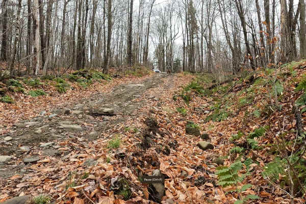
Colby Pond Trail
This scenic Class 4 road offers a well-balanced mix of terrain and serves as an alternate route within Section 4 of the North East Backcountry Discovery Route (NEBDR). While not overly demanding, it’s far more engaging than a typical dirt road, with standing water, muddy stretches, and moderate rock...
Learn more about Colby Pond Trail
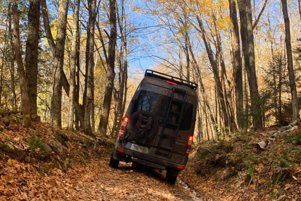
Liberty Hill / FR 223
Located in Vermont's Green Mountain National Forest this short trail bypasses a section of Scenic Route 100 north of Pittsfield. A fairly narrow and sometimes muddy section of a few miles is back-ended by a smooth well maintained gravel road. There are some slightly off-camber sections, but nothing ...
Learn more about Liberty Hill / FR 223
ATV trails near North Clarendon, Vermont
Explore ATV-friendly trails near you. These trails are accessible for vehicles up to 50 inches wide, perfect for ATVs and smaller off-road machines.
Beaver Meadow Trail - FS 76
This trail starts as an easy, two-way gravel road, passing the Meadow Brook Winter Trailhead (FS 76A) and a large parking area beside a shallow stream. Just beyond, a subtle entrance on the left marks the beginning of the Grade 3 section. The scenery quickly shifts as the trail dives into dense fore...
Learn more about Beaver Meadow Trail - FS 76
Rangers Road
This is a smooth gravel trail leading into Coolidge State Forest. Whetstone Brook runs alongside the route for much of the way, offering numerous scenic photo opportunities and fishing spots for the adventurous. Please be mindful that the southern end of the trail features a large parking area for V...
Learn more about Rangers Road
Old Job Rd Trail
An easy drive just off a fork from FR 10. A few twists and turns through the trees take you to a spectacular camping area right on the water. This one-vehicle-wide dirt road will bring you over a bridge and through the woods- some parts on foot, others on wheels. Foot traffic is welcome to cross thi...
Learn more about Old Job Rd Trail
Hale Hollow Trail
This lower section of Hale Hollow serves as an ATV and SxS trail that offers numerous opportunities for roadside fishing and access to hiking trails within the Arthur Davis Wildlife Management Area. The route concludes at a four-corners parking area, which features an informational kiosk with detail...
Learn more about Hale Hollow Trail
UTV/side-by-side trails near North Clarendon, Vermont
Find UTV and side-by-side trails near you. These trails accommodate vehicles up to 60 inches wide, ideal for UTVs, side-by-sides, and wider off-road rigs.
Beaver Meadow Trail - FS 76
This trail starts as an easy, two-way gravel road, passing the Meadow Brook Winter Trailhead (FS 76A) and a large parking area beside a shallow stream. Just beyond, a subtle entrance on the left marks the beginning of the Grade 3 section. The scenery quickly shifts as the trail dives into dense fore...
Learn more about Beaver Meadow Trail - FS 76
Rangers Road
This is a smooth gravel trail leading into Coolidge State Forest. Whetstone Brook runs alongside the route for much of the way, offering numerous scenic photo opportunities and fishing spots for the adventurous. Please be mindful that the southern end of the trail features a large parking area for V...
Learn more about Rangers Road
Old Job Rd Trail
An easy drive just off a fork from FR 10. A few twists and turns through the trees take you to a spectacular camping area right on the water. This one-vehicle-wide dirt road will bring you over a bridge and through the woods- some parts on foot, others on wheels. Foot traffic is welcome to cross thi...
Learn more about Old Job Rd Trail
Hale Hollow Trail
This lower section of Hale Hollow serves as an ATV and SxS trail that offers numerous opportunities for roadside fishing and access to hiking trails within the Arthur Davis Wildlife Management Area. The route concludes at a four-corners parking area, which features an informational kiosk with detail...
Learn more about Hale Hollow Trail
The onX Offroad Difference
onX Offroad combines trail photos, descriptions, difficulty ratings, width restrictions, seasonality, and more in a user-friendly interface. Available on all devices, with offline access and full compatibility with CarPlay and Android Auto. Discover what you're missing today!
Open Trail Map