Chateauguay Road

Total Miles4.4
Technical Rating
1Easy
Best TimeSpring, Summer, Fall
Trail TypeFull-Width Road
Accessible By
Open Trail Map

Trail Overview

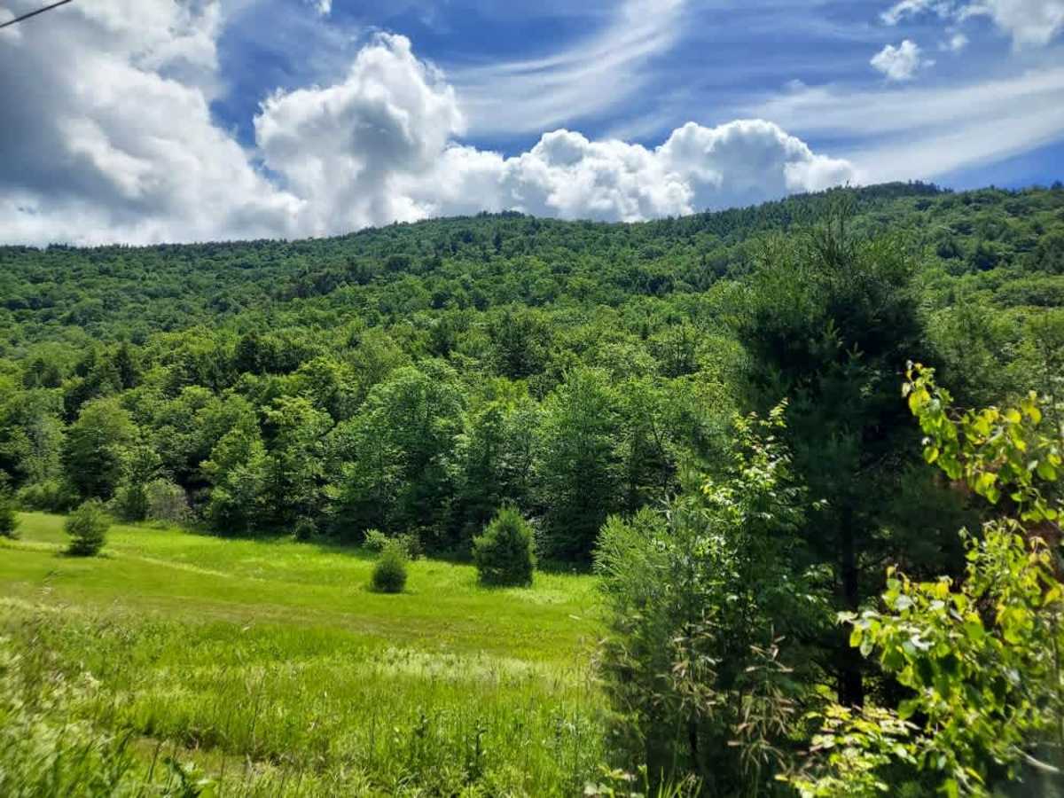
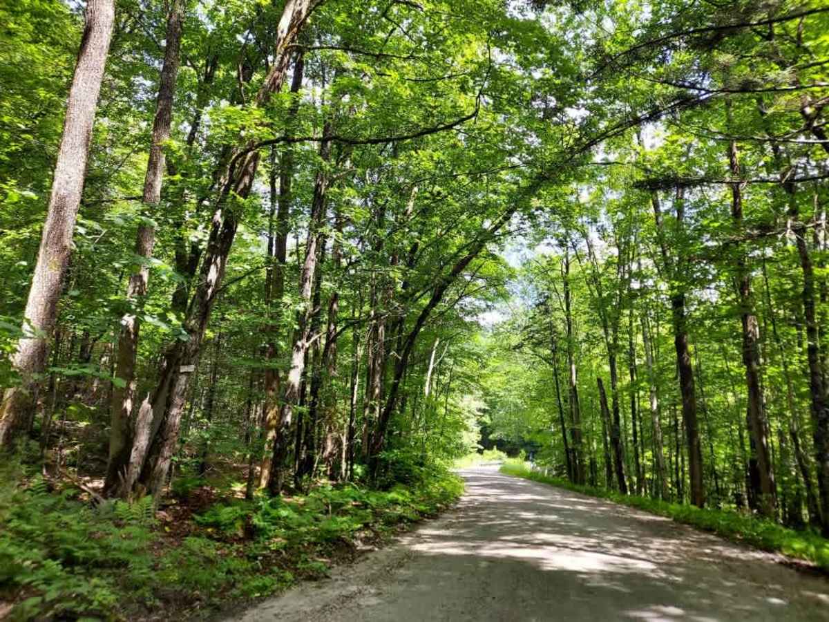
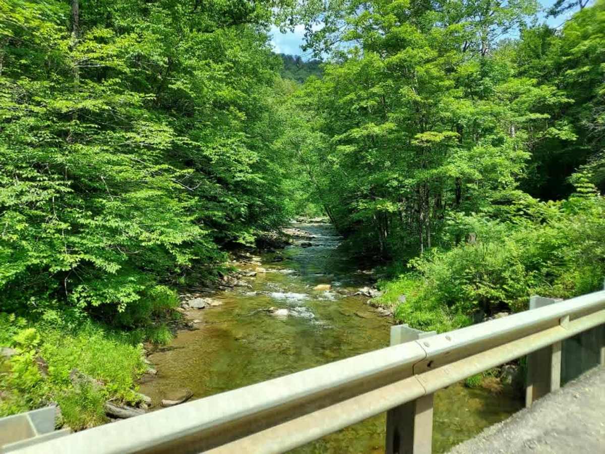
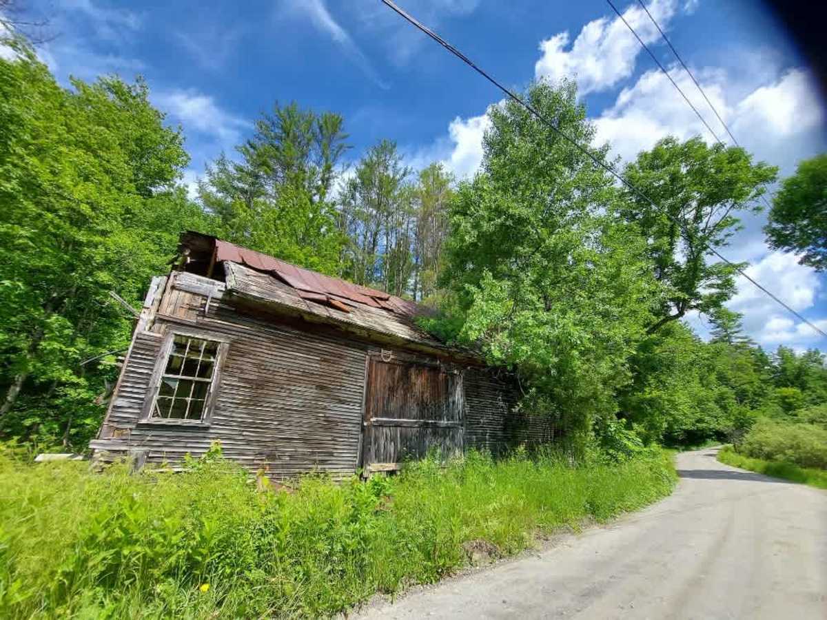
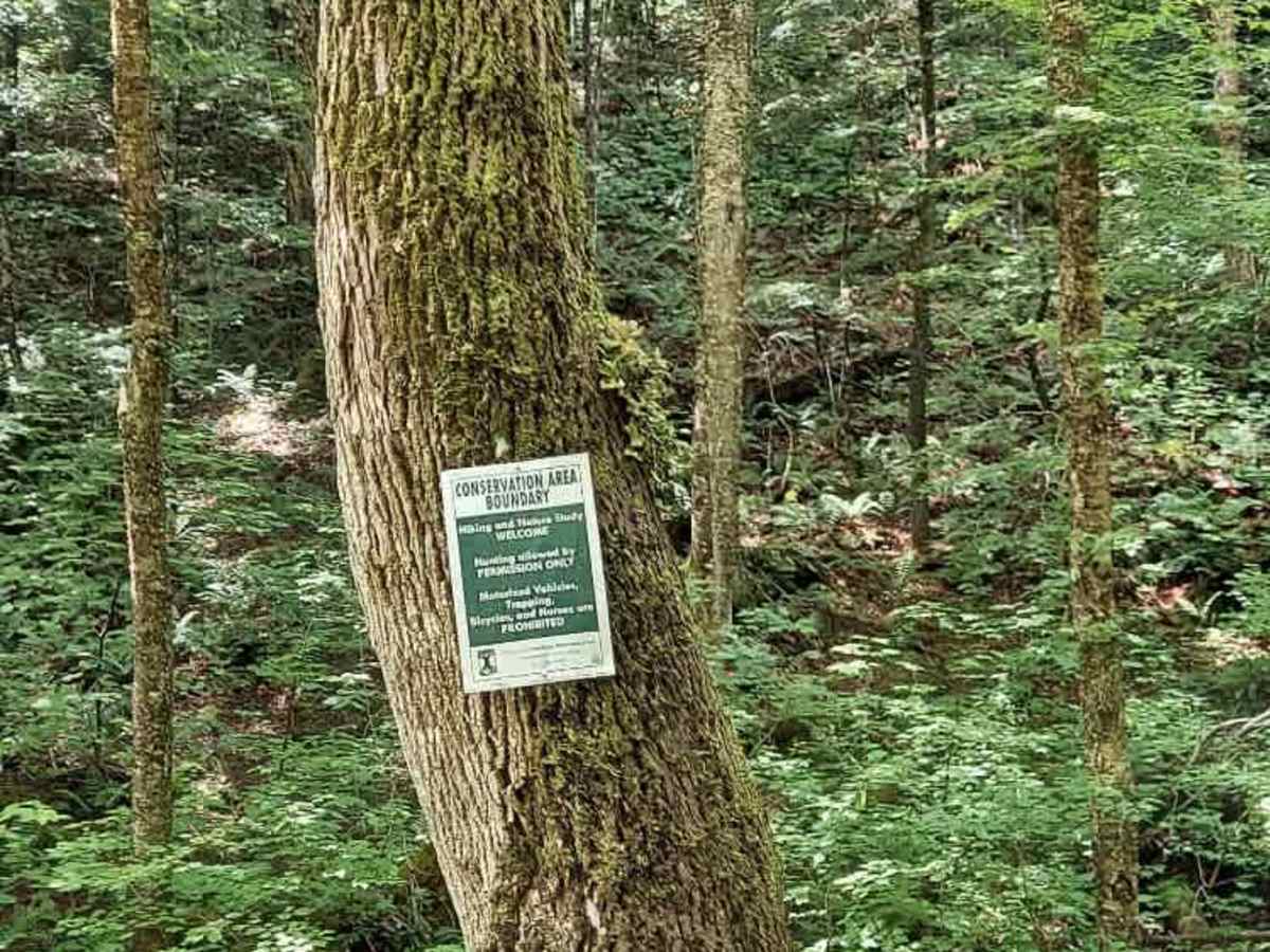
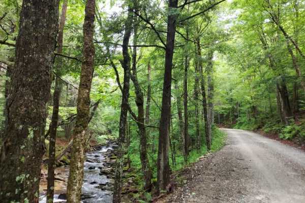
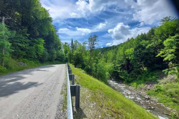
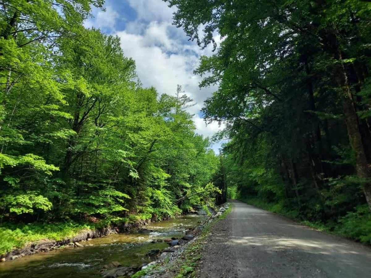
This scenic, well-maintained route follows the North Branch Ottauquechee River, gradually gaining elevation to offer sweeping vistas before winding back into the forest. Along the way, you will encounter historic barns and charming houses that border a local conservation area, providing a perfect blend of natural beauty and rural character.

Photos of Chateauguay Road

Difficulty

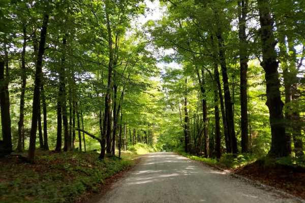
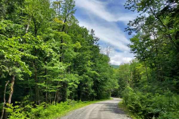
This is a well-maintained, smooth road with no notable obstacles.

Technical Rating

1

Chateauguay Road Trail can be accessed by the following ride types:

  • 50 Inch
  • 60 Inch
  • High Clearance
  • Full Width

Chateauguay Road Map

The onX Offroad Difference

onX Offroad combines trail photos, descriptions, difficulty ratings, width restrictions, seasonality, and more in a user-friendly interface. Available on all devices, with offline access and full compatibility with CarPlay and Android Auto. Discover what you're missing today!

Open Trail Map