
Off-Road Trails
Near Hot Springs, Virginia
Off-Road Trails Near Hot Springs, Virginia
Discover the best offroad trails near you. Browse trail maps, check difficulty ratings, and find your next adventure — whether you're looking for a quick ride or an all-day expedition.
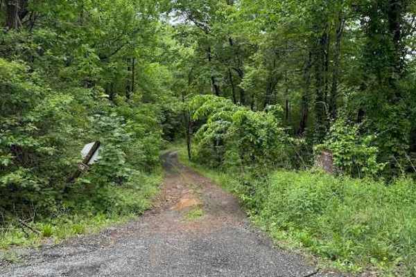
Jordan Run
Jordan Run, designated as Forest Road 358, begins with a short section that is open year‑round. The remaining two‑thirds of the route is seasonally open from January 1 through January 31, April 1 through May 31, and September 1 through December 31.
The most challenging feature of the trail appears ...
Learn more about Jordan Run
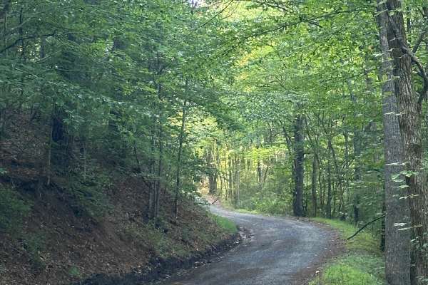
Leatherwood Lodge
Rough gravel road leading up to Gathright Wildlife Management Area. The trail is generally wide enough to pass another vehicle if needed. There are a few dispersed campsites in the area, with designated hunting areas as well. There is no cell service in the area or the surrounding area, and Lake Moo...
Learn more about Leatherwood Lodge
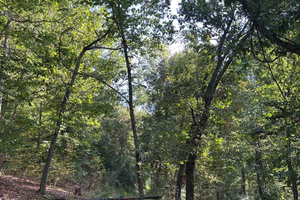
McClintic Bridge
Short and narrow gravel trail leading to an open area perfect for parking a trailer, or camping. There is water access all along this trail. There is no cell service in the area and surrounding, and Lake Moomaw recreation area is right down the road offering camping and fishing options.
Learn more about McClintic Bridge
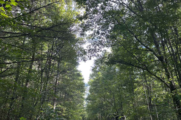
Gilliam Run West
This is a short but scenic drive through George Washington National Forest. You will encounter shallow mud holes, a few washed-out areas, and mild ruts throughout. The trail is very narrow with little to no room to pass. There are multiple dispersed campsites throughout, and cell service is spotty i...
Learn more about Gilliam Run West
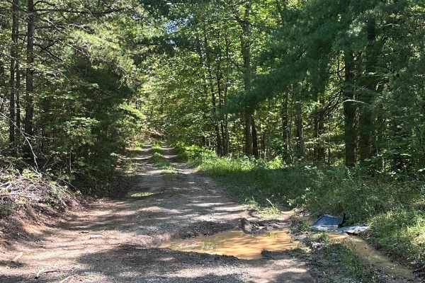
Wilson Spur
A steep, rocky, and rutted climb dead-ending at the ridgeline of Fore Mtn. There are unavoidable mud holes, a few deep ruts, as well as steep inclines and declines. The trail could potentially be very slick if snow or ice is present, so use caution when traversing during winter months. There is no c...
Learn more about Wilson Spur
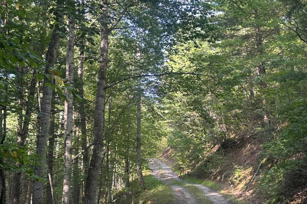
Beards Mountain
A short rocky drive with multiple dispersed camp sites throughout. You will encounter mild ruts, shallow mud holes, and tight vegetation depending on the season. The trail is very narrow with little to no room to pass. Cell service is spotty in the area. Use caution when snow or ice is present.
Learn more about Beards Mountain
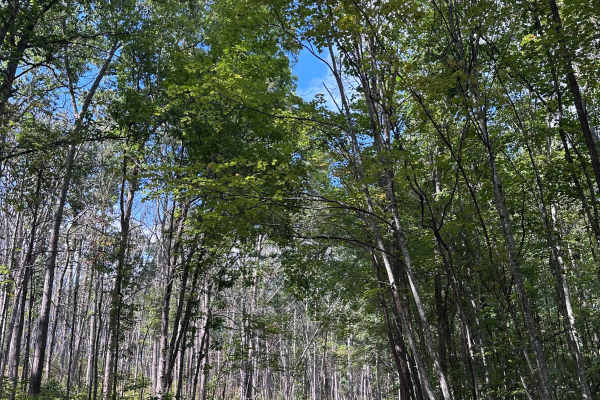
Limekiln Spur
A short, rocky drive to a dead end with multiple camp sites throughout. This trail features mild ruts, washed out areas and narrow sections with very little room to pass. Use caution when snow or ice is present, as parts of the trail are very narrow with a drop off on one side. Cell service is spott...
Learn more about Limekiln Spur
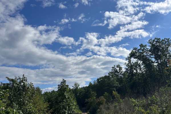
Limekiln
Limekiln Road offers an easy scenic forest drive through the George Washington National Forest in Bath County, Virginia. Ideal for stock 4x4s, high-clearance trucks, and SUVs, this unpaved route winds for approximately 10.4 miles through the quiet Dry Run drainage. It traverses the scenic slopes of ...
Learn more about Limekiln
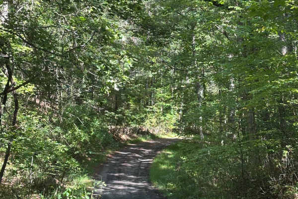
Range Road
This is a gravel access route leading to the Bath County shooting range. This route features small inclines and declines as well as a shallow water crossing. The terrain consists mostly of gravel with a few small rocky sections. Generally, any vehicle can traverse this route. Cell service is spotty ...
Learn more about Range Road
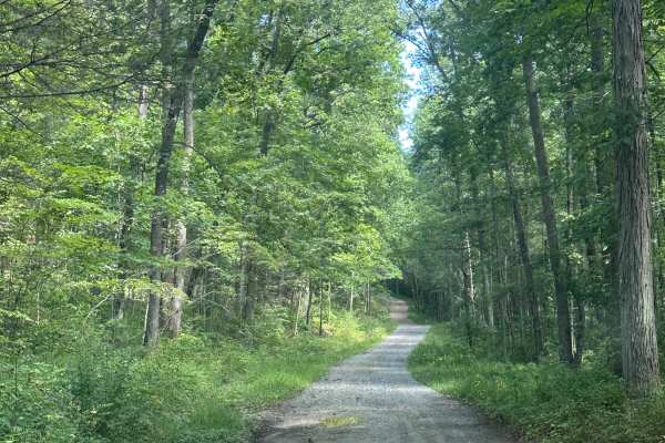
Dolly Anne North
This is a scenic route through George Washington National Forest, offering many dispersed camping options as well as great views of the surrounding mountain ranges. The route is mainly gravel, with a few small ruts as well as steep inclines and declines. There is no cell service on this trail or in ...
Learn more about Dolly Anne North
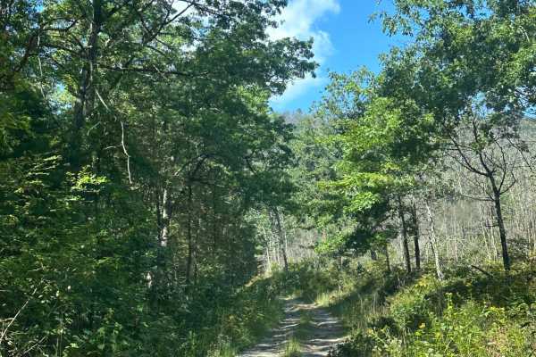
White Oak Flat
This is a rough, rutted out climb in George Washington National Forest. You will encounter steep rutted out sections, narrow overgrown areas depending on the season, and mild mud holes throughout. The trail is very tight at parts with no room to pass another vehicle. 4wd and high clearance is recomm...
Learn more about White Oak Flat
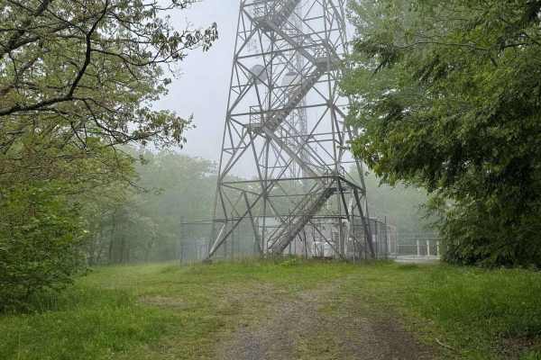
Duncan Knob
Duncan Knob, designated as Forest Road 124, is a seasonally open trail with access windows from January 1 through January 31, April 1 through May 31, and September 1 through December 31. The route features a mix of gravel, dirt, and rocky terrain, with enough rutting to warrant a difficulty rating o...
Learn more about Duncan Knob
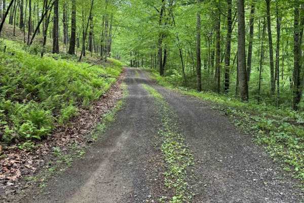
Hidden Valley Road
Hidden Valley Road, designated as Forest Road 241, is a well‑maintained gravel road that travels through forested terrain and leads to Hidden Valley Campground at the southern end. The route is generally smooth, with the most notable obstacles being potholes on the northern end. A 4WD vehicle is not...
Learn more about Hidden Valley Road
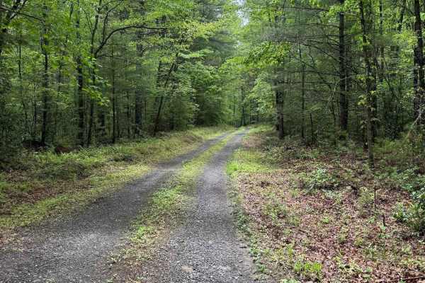
Star Chapel
Star Chapel, designated as Forest Road 401, is a seasonally open trail with access windows from January 1 through January 31, April 1 through May 31, and September 1 through December 31. For a seasonal route, it is surprisingly well-maintained, with a consistent gravel surface throughout.
The trail...
Learn more about Star Chapel
Pads Creek
Pads Creek Trail travels along Forest Service trails and an unmaintained state road. The eastern portion winds along the creek through gravel National Forest trails with ample camping opportunities. Bubbling Springs Day Use Area with hiking trails is located along the route. At the intersection of G...
Learn more about Pads Creek
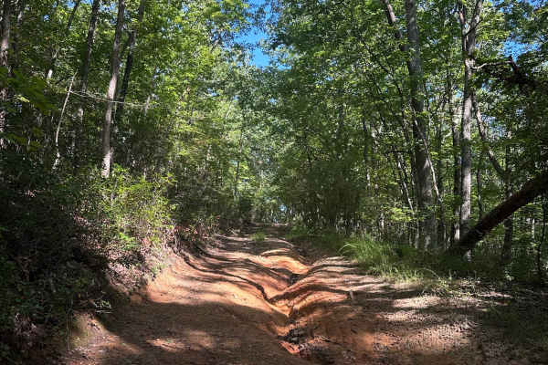
Wide Draft
Despite the name, this is a very narrow, rutted, and rocky trail. The trail is very overgrown in spots, offering no room to pass another vehicle. You will encounter deep ruts, steep rocky climbs, multiple off-camber spots with drop-offs on either side, as well as mild mud holes. The trail dead-ends ...
Learn more about Wide Draft
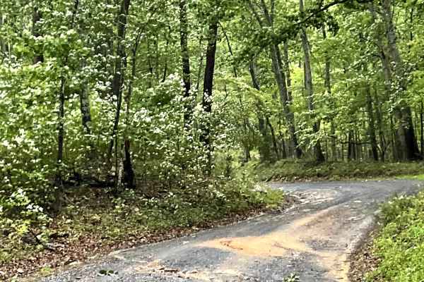
Rte 633
Route 633 is another wonderful addition to the Jack Mountain gravel county road network, offering users a scenic option for unpaved travel through the surrounding countryside.
The route consists of a hard-packed, well-maintained gravel surface that is generally easy to navigate. However, several cor...
Learn more about Rte 633
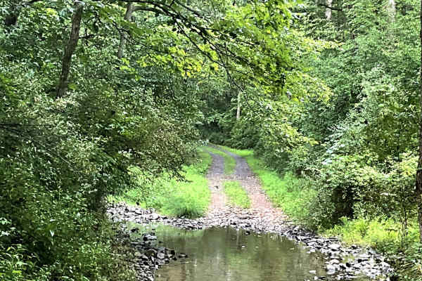
Needle Lane
Needle Lane is a scenic trail with countryside views that look like they belong on the pages of a magazine. The trail is well maintained but is primarily single track, with several areas where users can pull over to allow oncoming traffic to pass.
A small water crossing adds to the scenic and pictur...
Learn more about Needle Lane
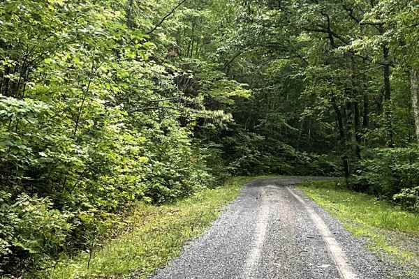
Top Road
Top Road is easily accessed from I-64 and provides users with a scenic route to the top of North Mountain. This well-maintained, two-lane gravel road follows the ridgeline, offering beautiful views of the surrounding mountains and countryside along the way. The Route is especially enjoyable in the f...
Learn more about Top Road
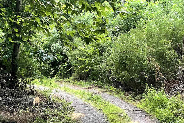
White Rocks
White Rocks is an out-and-back route that ends at a permanently closed USFS gate. The route is overgrown and narrow, requiring users to pay close attention to the road as it winds alongside high-tension power lines. It is not well maintained, but it remains free of major obstacles. Its tight and ove...
Learn more about White Rocks
ATV trails near Hot Springs, Virginia
Explore ATV-friendly trails near you. These trails are accessible for vehicles up to 50 inches wide, perfect for ATVs and smaller off-road machines.
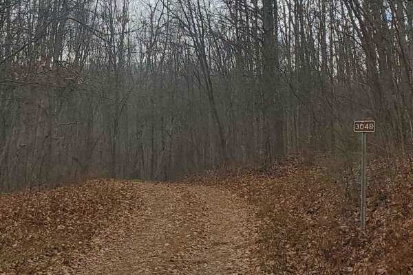
FS304B
This trail is an offshoot of Stillhouse Run Road (FS304). It is poorly, if at all maintained, and downed trees and overgrown limbs cut the trail short of what is shown as available on the map. SxS, dirt bikes, and ATVs may be able to complete the full length of the trail, but a saw would be required...
Learn more about FS304B
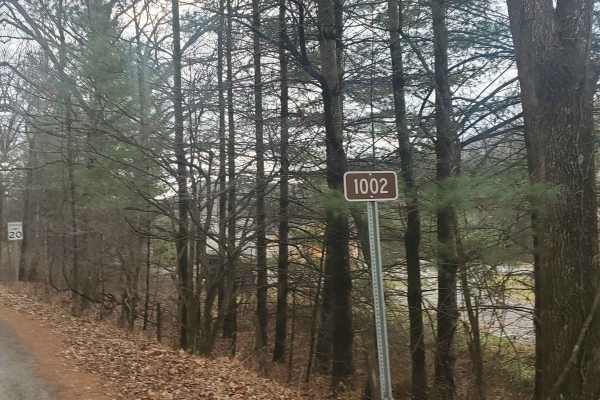
Monday Lick Rd (FS1002)
This forest road goes through part of the Monongahela National Forest and is an easy drive for any truck, small SUV, 4x4, or SxS. Beginning across the street from Stillwell Park, it shares an entrance with Stillwater Run Road (FS 304) but makes an immediate right fork following the Greenbriar River ...
Learn more about Monday Lick Rd (FS1002)
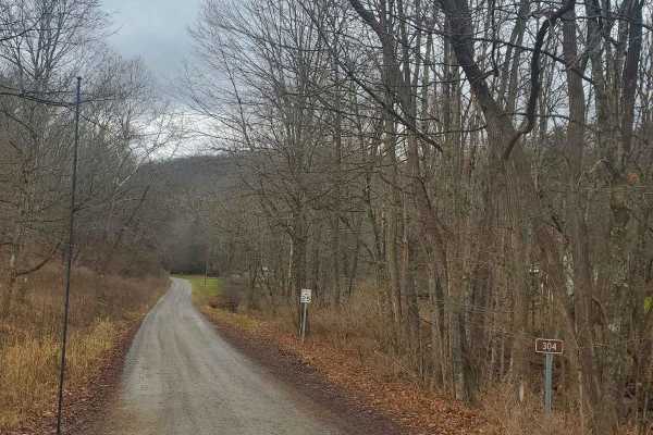
Stillhouse Run Road (FS304)
This Monongahela National Forest Road shares an entrance with Monday Lick Road (FS1002), just south of the town of Marlinton, West Virginia. It follows the Stillhouse Run Creek up to its headwaters above the Greenbriar River. It is a fairly well-maintained dirt forest road with a few small offshoots...
Learn more about Stillhouse Run Road (FS304)
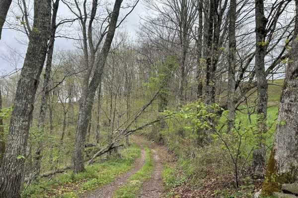
Chestnut Ridge Road
Chestnut Ridge Road offers a scenic journey along a high ridge top, providing breathtaking view on clear days. The majority of the track is an easy drive. The trail features a mandatory technical section that cannot be bypassed, adding just enough challenge to keep things interesting. Please practic...
Learn more about Chestnut Ridge Road
UTV/side-by-side trails near Hot Springs, Virginia
Find UTV and side-by-side trails near you. These trails accommodate vehicles up to 60 inches wide, ideal for UTVs, side-by-sides, and wider off-road rigs.
FS304B
This trail is an offshoot of Stillhouse Run Road (FS304). It is poorly, if at all maintained, and downed trees and overgrown limbs cut the trail short of what is shown as available on the map. SxS, dirt bikes, and ATVs may be able to complete the full length of the trail, but a saw would be required...
Learn more about FS304B
Monday Lick Rd (FS1002)
This forest road goes through part of the Monongahela National Forest and is an easy drive for any truck, small SUV, 4x4, or SxS. Beginning across the street from Stillwell Park, it shares an entrance with Stillwater Run Road (FS 304) but makes an immediate right fork following the Greenbriar River ...
Learn more about Monday Lick Rd (FS1002)
Stillhouse Run Road (FS304)
This Monongahela National Forest Road shares an entrance with Monday Lick Road (FS1002), just south of the town of Marlinton, West Virginia. It follows the Stillhouse Run Creek up to its headwaters above the Greenbriar River. It is a fairly well-maintained dirt forest road with a few small offshoots...
Learn more about Stillhouse Run Road (FS304)
Chestnut Ridge Road
Chestnut Ridge Road offers a scenic journey along a high ridge top, providing breathtaking view on clear days. The majority of the track is an easy drive. The trail features a mandatory technical section that cannot be bypassed, adding just enough challenge to keep things interesting. Please practic...
Learn more about Chestnut Ridge Road
The onX Offroad Difference
onX Offroad combines trail photos, descriptions, difficulty ratings, width restrictions, seasonality, and more in a user-friendly interface. Available on all devices, with offline access and full compatibility with CarPlay and Android Auto. Discover what you're missing today!
Open Trail Map