Trail Overview
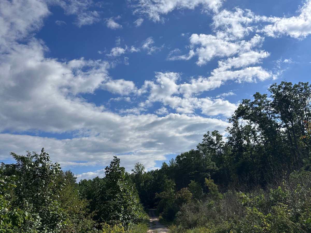
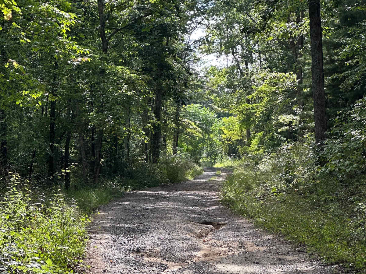
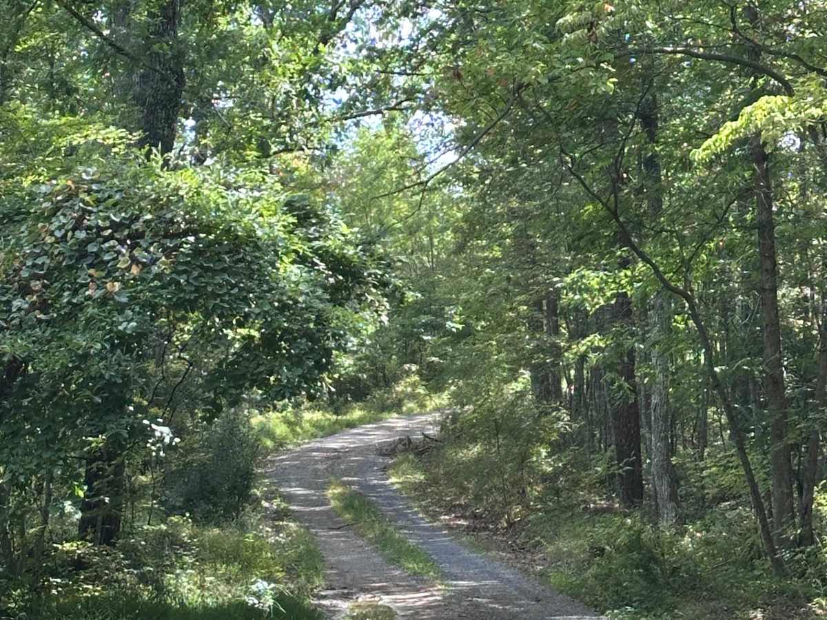
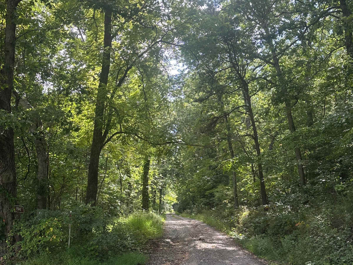
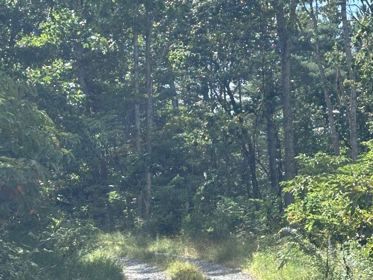
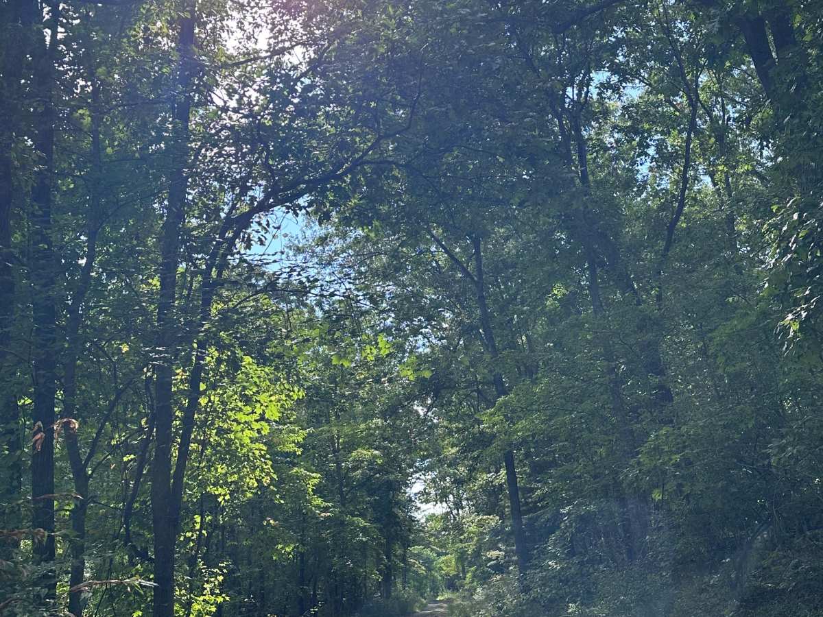
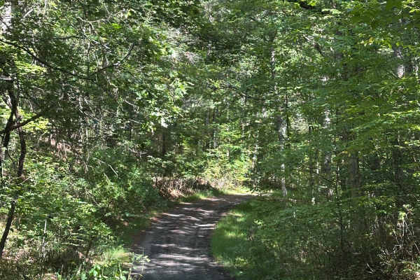
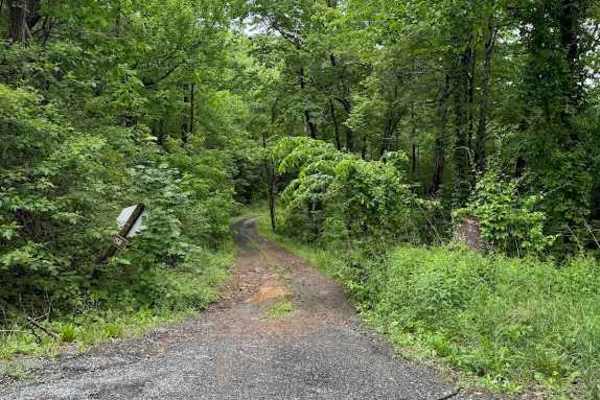
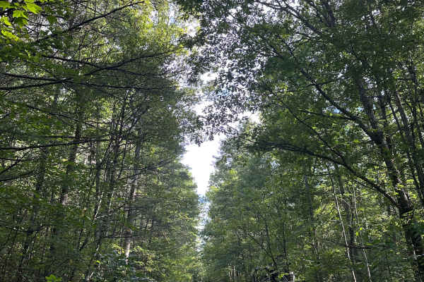
Limekiln Road (Forest Service Road 194) is a scenic, unpaved backcountry drive through the hardwood forests of the Warm Springs Ranger District in Virginia's George Washington National Forest.
History
Limekiln Road is named after the historic lime kilns that once operated in this region of Bath County during the 19th and early 20th centuries. These kilns were used by early settlers and industrial operators to heat local limestone, converting it into quicklime for agricultural soil conditioning, mortar, and other building materials.
Access Description
Limekiln Road (Forest Service Road 194) is managed by the U.S. Forest Service as part of the George Washington and Jefferson National Forests (Warm Springs Ranger District). The road is typically open seasonally to motorized vehicles from early April through early January, though exact dates vary based on weather and active management. No permits or fees are required to drive the road. High-clearance vehicles are recommended, especially during or after wet weather, as the unpaved surface can become muddy and develop ruts or washouts. Dispersed camping is permitted along the corridor in accordance with national forest regulations.