
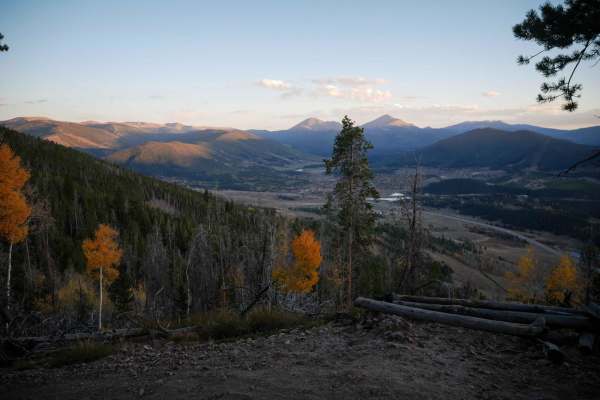
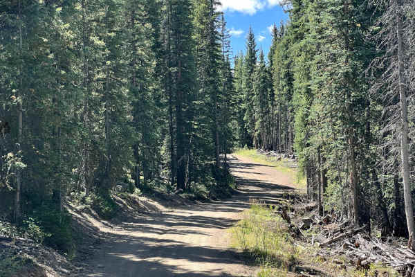
Off-Road Trails
Near Dillon, Colorado
Off-Road Trails Near Dillon, Colorado
Discover the best offroad trails near you. Browse trail maps, check difficulty ratings, and find your next adventure — whether you're looking for a quick ride or an all-day expedition.
BB
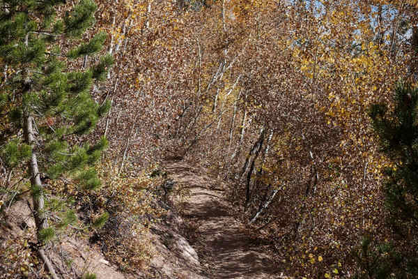
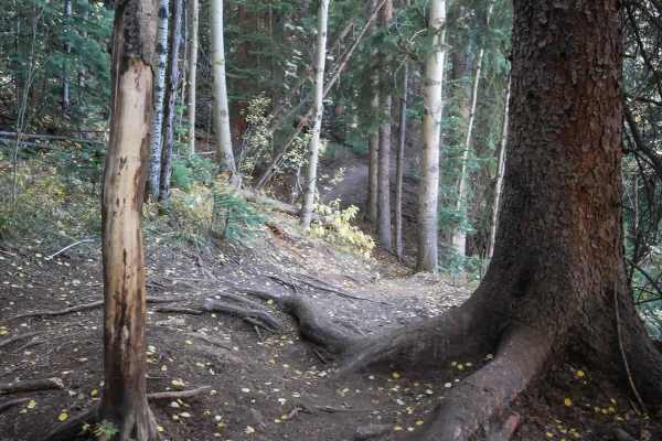
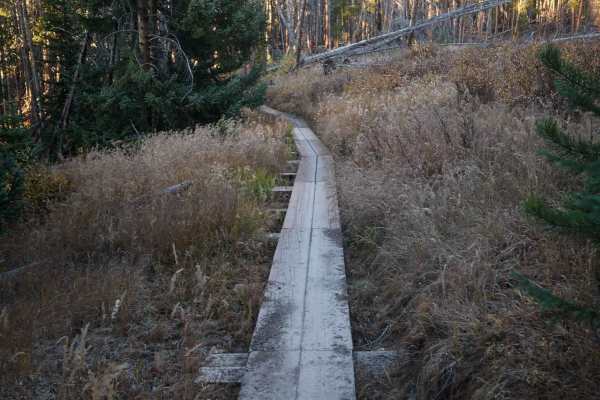
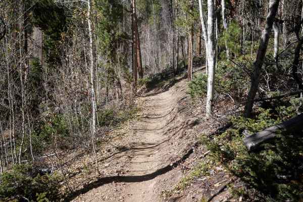
BB is a newly constructed dirt bike trail in the Tenderfoot Mountain Trail System. It starts at an overlook above Dillon Reservoir at the intersection with Outer Wide Open. It climbs up to Tenderfoot Mountain Trail through a series of gradual switchbacks and banked corners. From west to east, the tr...
Learn more about BB
Pile Driver
Pile Driver is a very easy single track through the Tenderfoot Mountain Recreation Area near Silverthorne, Colorado. The west end starts at the end of the Tenderfoot Mountain Trail, and it traverses across the hillside through tall skinny lodgepole pine trees, aspen trees, and open hillsides. The tr...
Learn more about Pile Driver
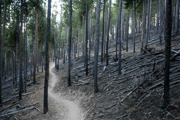
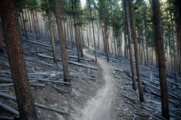
Tenderfoot Mountain
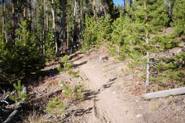
Tenderfoot Mountain is a 6-mile-long easy singletrack. The north end starts on County Road 51. It starts off as a narrow dirt trail at a pinch point. Much of the trail is fast and flowy, through tall skinny aspen trees, with wide sweeping and banked corners, and is very gradual and smooth. There are...
Learn more about Tenderfoot Mountain
Roost
Roost is an easy trail in the Tenderfoot Mountain Trail System. The west side of Roost starts at the intersection with Tenderfoot Mountain Trail, and zig zags across the mountain until it intersects with Lucky, then zig zags up to another section of Tenderfoot Mountain Trail. It's a fast and flowy t...
Learn more about Roost
Outer Wide Open
Outer Wide Open makes a loop off of Tenderfoot Mountain Trail with BB Trail. It's a newly constructed single track in the trail system, and is very similar in style and difficulty to the rest of the trails in the area. It curves through the pine trees, with gradual switchbacks, big wide turns throug...
Learn more about Outer Wide Open
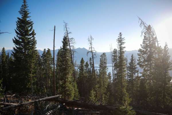
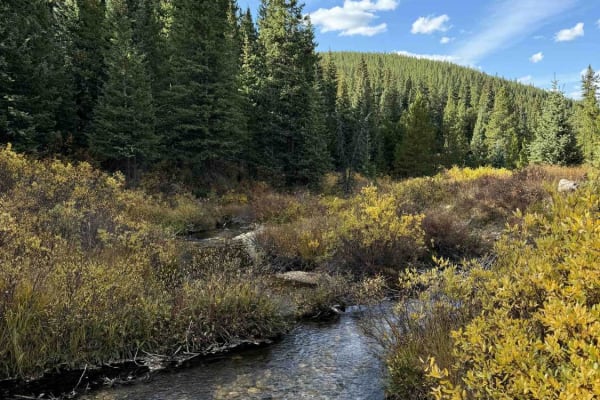
Straight Creek
This is an ATV or dirt bike trail that follows I-70 from the town of Dillon to the Eisenhower Tunnel. You follow the creek most of the time, which is in the shadow of I-70. It's mostly an easy road with some sand, washouts, a few shallow creeks, and some small but steep hills. This passes through th...
Learn more about Straight Creek
Lucky
Lucky is a newer trail in the Tenderfoot Mountain Trail System. It starts at the intersection with Upper Wide Open and rides north to Roost. It's a very fast trail, being pretty wide through the pine trees, with light curves over smooth terrain. There are a couple of embedded rocks or roots here and...
Learn more about Lucky
Middle Tenderfoot Mountain
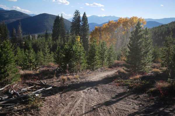
This trail descends through a series of big, wide, sweeping switchbacks from the summit of Tenderfoot Mountain. The trail is extensive at the top, like a two-track, but narrows slightly as it enters the trees. It loses 1,300 feet of elevation over 2.6 miles. It continues as a wide trail snaking thro...
Learn more about Middle Tenderfoot Mountain
Upper Wide Open
The south end of Upper Wide Open starts along a fence and goes through a pinch point, then enters a forest of tall skinny lodgepole pine trees and the ground is full of downed skinny logs. It doubles back on big sweeping hairpin turns several times as it climbs up the mountainside. The trail is smoo...
Learn more about Upper Wide Open
Monkey Butt
Monkey Butt keeps going north after it starts at the intersection with Wide Open, and is similar difficulty to Wide Open. It keeps zig-zagging through the forest on a gradual and smooth trail, going through more of the cleared forest covered in small downed logs. There aren't any of the logs over th...
Learn more about Monkey Butt
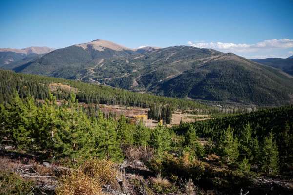
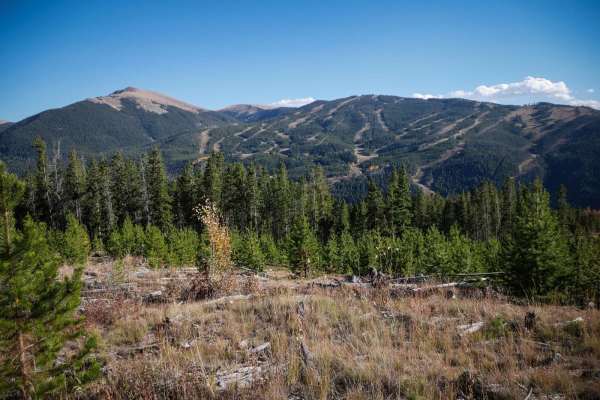
Frey Gulch Road
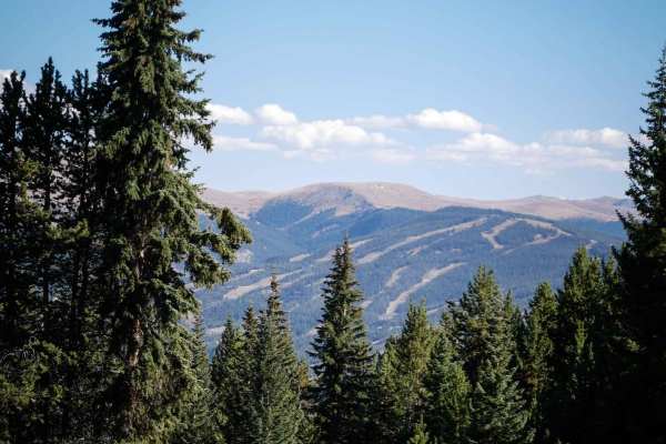
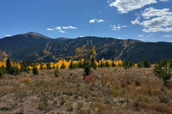
This trail traverses the mountain slope opposite the Keystone Ski Area, so it provides excellent views of the ski area. Frey Gulch and the nearby Tenderfoot Mountain are fairly popular dirt bike riding areas, as most of the trails here are single tracks. It is a seasonal area for all motorized vehic...
Learn more about Frey Gulch Road
Wide Open
The south end of Wide Open starts on Frey Gulch Road and it enters the aspen trees and starts climbing up the hillside. It climbs up a series of 10 gradual switchbacks that casually curve through the pine trees and cross the Tenderfoot Mountain Trail. It does one more zig-zag on the north side of Te...
Learn more about Wide Open
7 of 9
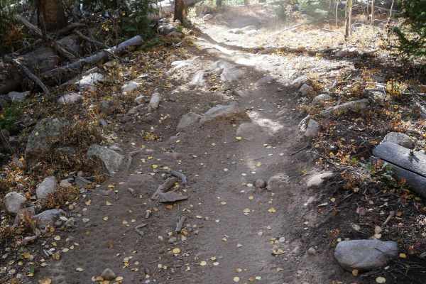
This short single track enters the pine forest at the pinch point and climbs up for a mile, with a few steep spots. It's mostly a fast dirt trail over rolling hills, with some fast banked corners. t winds up through the trees with several big hairpin turns. His trail is smooth and easy, with no rock...
Learn more about 7 of 9
DeathHair
DeathHair is a newly constructed easy single track that makes a loop off of the Powerhair Trail in the Tenderfoot Mountain Trail System. It zig zags through the forest for 1.6 miles, mostly descending for the first mile with some steep spots when going counterclockwise, and then gradually climbing b...
Learn more about DeathHair
7 of 9 Connector
This is a short 1 mile long connector trail, that connects 7 of 9 to the new Powerhair single track. It goes through a clearing with short pine trees, on a smooth and easy dirt trail that winds through the trees and is generally fast and flowy. The south end zig-zags down the mountainside through a ...
Learn more about 7 of 9 Connector
Powerline
This single track starts on a wide track through extensive grassy meadows and curves through the lodgepole pine tree forest on a smooth, easy trail. It cuts across the mountainsides and climbs up the mountain with a few big, wide corners. The trail has more rocks and roots than the other trails in t...
Learn more about Powerline
Keystone Gulch Trail
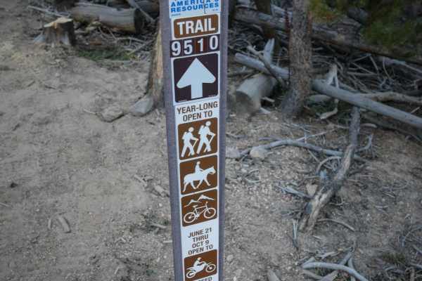
The Keystone Gulch Road follows the boundary of the Keystone Ski Area at the beginning and eventually enters the ski area in the North Peak area. The open dates for all vehicles on this trail are 6/21 through 11/22. The lower gate for this road remains closed to motorized access later on in the sea...
Learn more about Keystone Gulch Trail
Powerhair
This new single-track trail in the Tenderfoot Mountain motorized trail system loops off Powerline and Frey Gulch Road. It's similar to many of the fast and flowy trails through this trail system, as it winds through the pine trees. It side-hills al ng the edge of the mountainside on a narrow dirt tr...
Learn more about Powerhair
Moab Trail
The short Moab Trail starts off of Frey Gulch Road at a pinch point, near the end of the Powerline Trail. It winds up through the pine trees, traversing across the mountain, with awesome views of Keystone Ski Resort. It's a bit shelfy and narrow in some spots as it follows the edge of the mountain, ...
Learn more about Moab Trail
Knobby
Knobby is a very short connector trail from the Moab Trail down to the Frey Gulch Road. It's a skinny dirt trail through meadows, pines, and aspens. It goes through the flat forest and along the edge of the mountainside. The trail is smooth, with almost no rocks, and no obstacles. It crosses a tiny ...
Learn more about Knobby
ATV trails near Dillon, Colorado
Explore ATV-friendly trails near you. These trails are accessible for vehicles up to 50 inches wide, perfect for ATVs and smaller off-road machines.
Straight Creek
This is an ATV or dirt bike trail that follows I-70 from the town of Dillon to the Eisenhower Tunnel. You follow the creek most of the time, which is in the shadow of I-70. It's mostly an easy road with some sand, washouts, a few shallow creeks, and some small but steep hills. This passes through th...
Learn more about Straight Creek
Middle Tenderfoot Mountain
This trail descends through a series of big, wide, sweeping switchbacks from the summit of Tenderfoot Mountain. The trail is extensive at the top, like a two-track, but narrows slightly as it enters the trees. It loses 1,300 feet of elevation over 2.6 miles. It continues as a wide trail snaking thro...
Learn more about Middle Tenderfoot Mountain
Frey Gulch Road
This trail traverses the mountain slope opposite the Keystone Ski Area, so it provides excellent views of the ski area. Frey Gulch and the nearby Tenderfoot Mountain are fairly popular dirt bike riding areas, as most of the trails here are single tracks. It is a seasonal area for all motorized vehic...
Learn more about Frey Gulch Road
Keystone Gulch Trail
The Keystone Gulch Road follows the boundary of the Keystone Ski Area at the beginning and eventually enters the ski area in the North Peak area. The open dates for all vehicles on this trail are 6/21 through 11/22. The lower gate for this road remains closed to motorized access later on in the sea...
Learn more about Keystone Gulch Trail
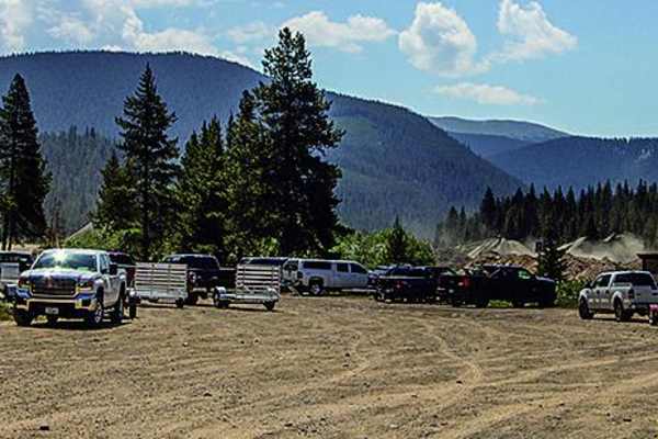
UTV/side-by-side trails near Dillon, Colorado
Find UTV and side-by-side trails near you. These trails accommodate vehicles up to 60 inches wide, ideal for UTVs, side-by-sides, and wider off-road rigs.
Frey Gulch Road
This trail traverses the mountain slope opposite the Keystone Ski Area, so it provides excellent views of the ski area. Frey Gulch and the nearby Tenderfoot Mountain are fairly popular dirt bike riding areas, as most of the trails here are single tracks. It is a seasonal area for all motorized vehic...
Learn more about Frey Gulch Road
Keystone Gulch Trail
The Keystone Gulch Road follows the boundary of the Keystone Ski Area at the beginning and eventually enters the ski area in the North Peak area. The open dates for all vehicles on this trail are 6/21 through 11/22. The lower gate for this road remains closed to motorized access later on in the sea...
Learn more about Keystone Gulch Trail
Rock Island Road (GH-87)
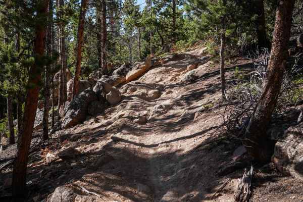
Rock Island Road (GH-87) is a narrow, rocky trail that is frequented by Off-Highway Vehicles such as dirt bikes and SxS in Breckenridge, Colorado. The trail has several rollers that are exciting to drive over on dirt bikes and short-wheel-base vehicles. This may not be suitable for longer wheel-base...
Learn more about Rock Island Road (GH-87)
Georgia Pass
This short mountain pass offers camping and an option to make it longer and more challenging by returning across Glacier Peak. To return to Denver, you'll go southeast from the pass on gravel roads to Jefferson.
Learn more about Georgia Pass
The onX Offroad Difference
onX Offroad combines trail photos, descriptions, difficulty ratings, width restrictions, seasonality, and more in a user-friendly interface. Available on all devices, with offline access and full compatibility with CarPlay and Android Auto. Discover what you're missing today!
Open Trail Map