Trail Overview
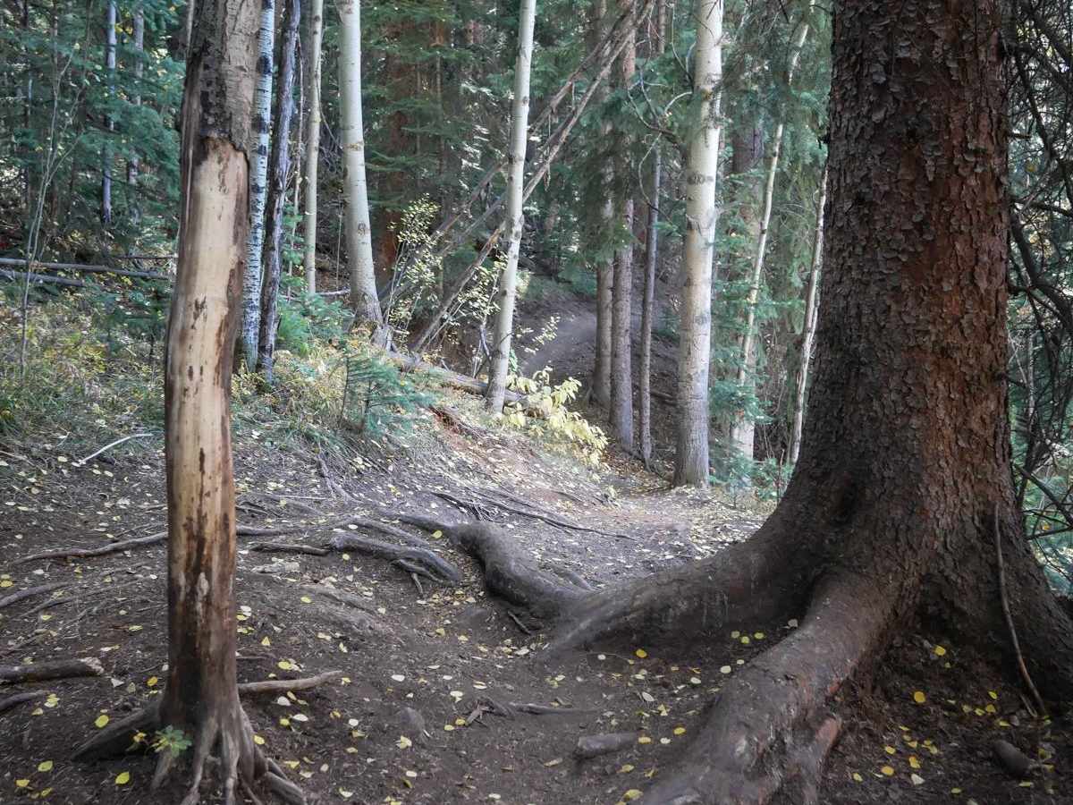
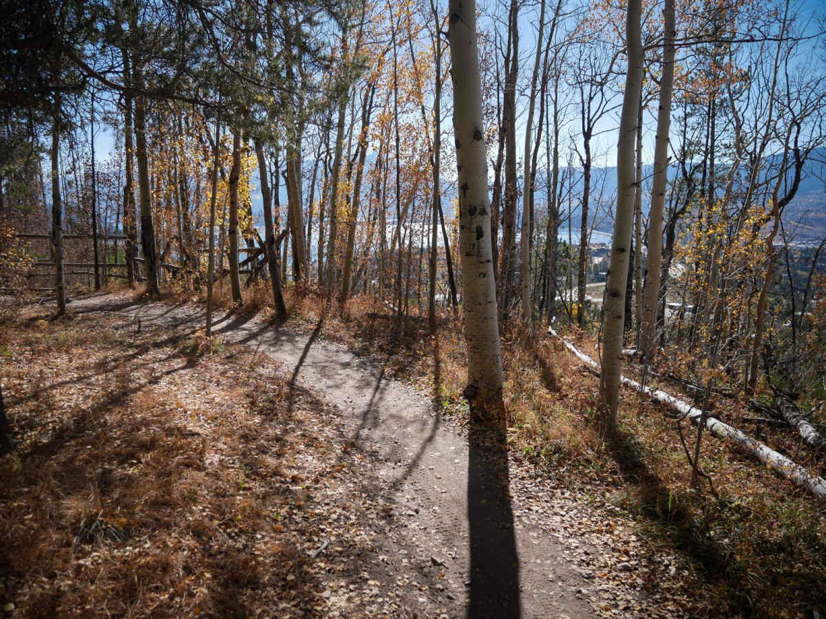
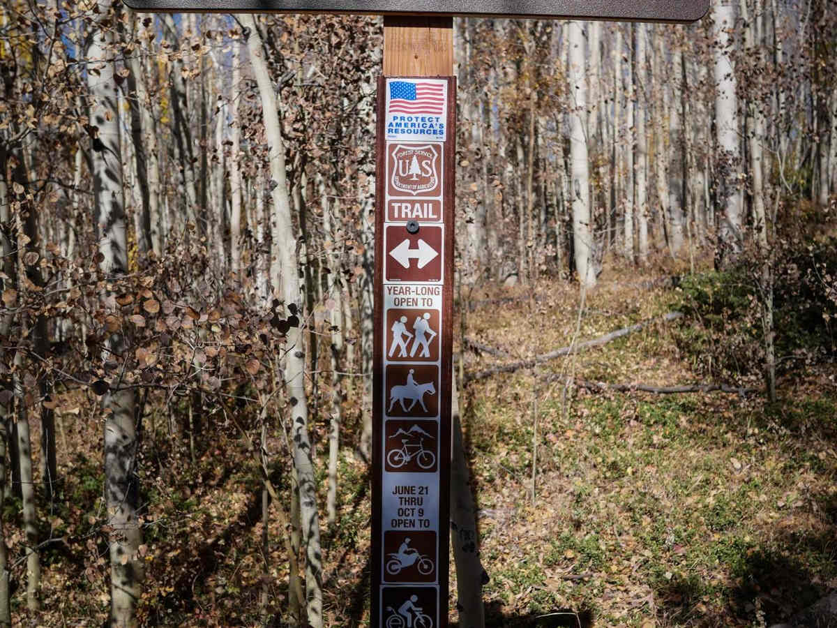
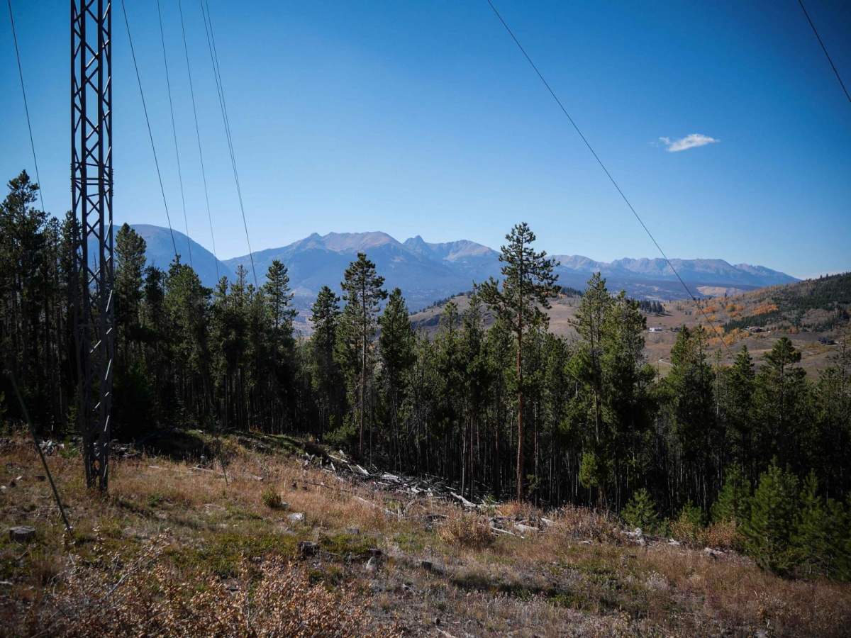
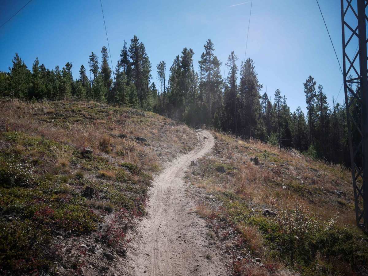
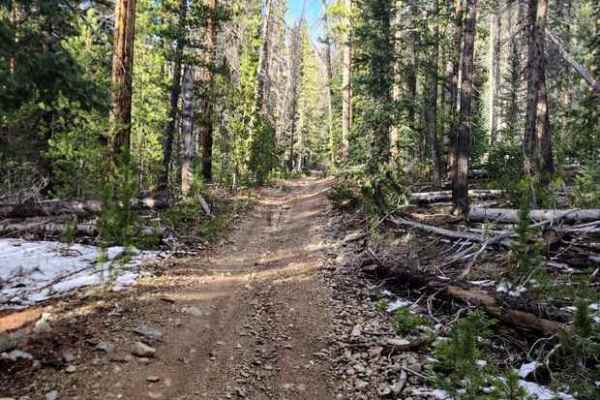
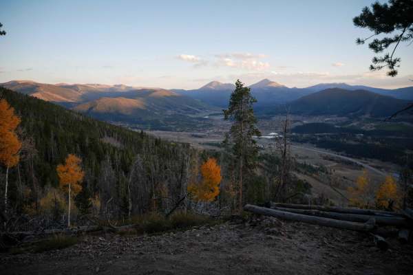
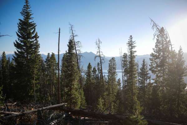
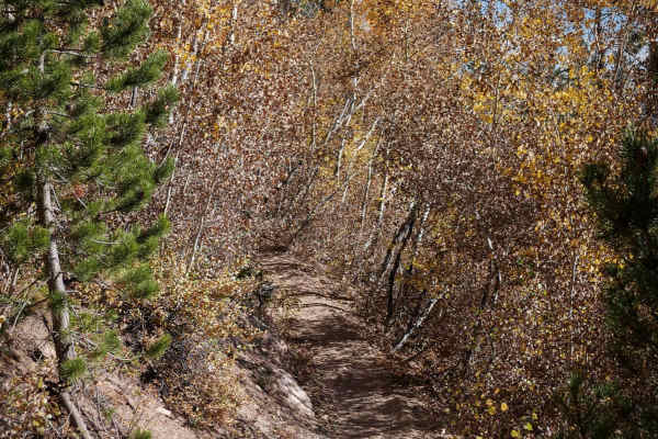
Tenderfoot Mountain is a 6-mile-long easy singletrack. The north end starts on County Road 51. It starts off as a narrow dirt trail at a pinch point. Much of the trail is fast and flowy, through tall skinny aspen trees, with wide sweeping and banked corners, and is very gradual and smooth. There are a few medium-sized roots across the trail that you have to be mindful of, but there are no big ledges and almost no rocks. The trail zig-zags up the hillside with a bunch of sweeping corners, and you can see down to Dillon Reservoir through the trees. It traverses across the hillside and goes under some powerlines. There's a small connector trail, OTB, after half of the zig-zags, that you can take to skip a portion and connect to the east side of the trail. After gaining 1,200 feet, the trail comes to an intersection with Pile Driver and heads north. From the intersection with Pile Driver, this upper section of Tenderfoot Mountain starts out as an old Jeep road that is now a dirt bike-only trail. It's a wide trail steeply climbing up the hillside through tall skinny lodgepole pine trees, covered in a mix of dirt and small loose rocks, with big rollers. It turns back into a single track through the pine trees, which is fast and flowy as it traverses the mountainside, with a few steeper or shelfy spots, but overall still very easy. The trail has several wide gradual switchbacks as it climbs up the mountain. There are almost no rocks on the trail, and any downed logs have been cut. It pops out at a pinch point at the summit of Tenderfoot Mountain and connects to Middle Tenderfoot on a wider track. This trail is open 6/21 - 10/9 to motorcycles and e-bikes.