Trail Overview
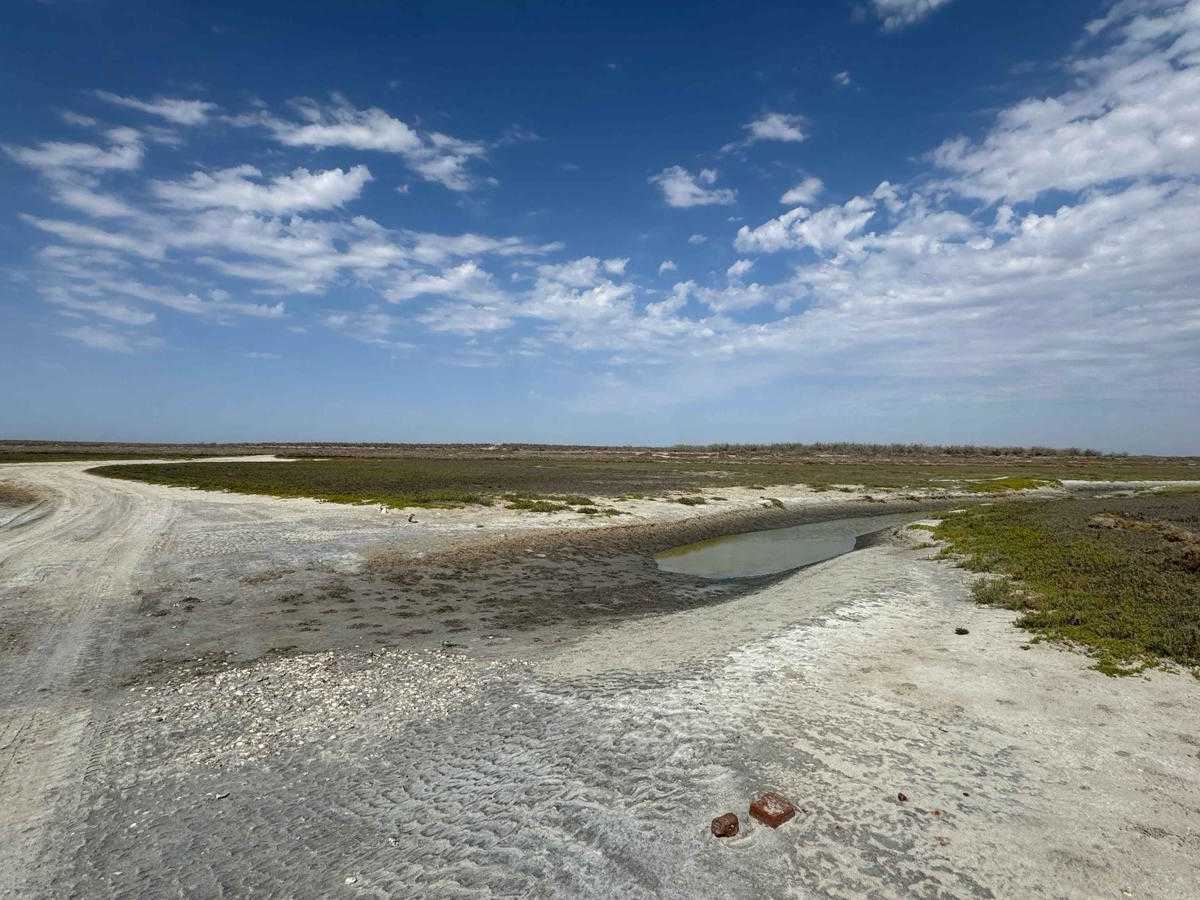
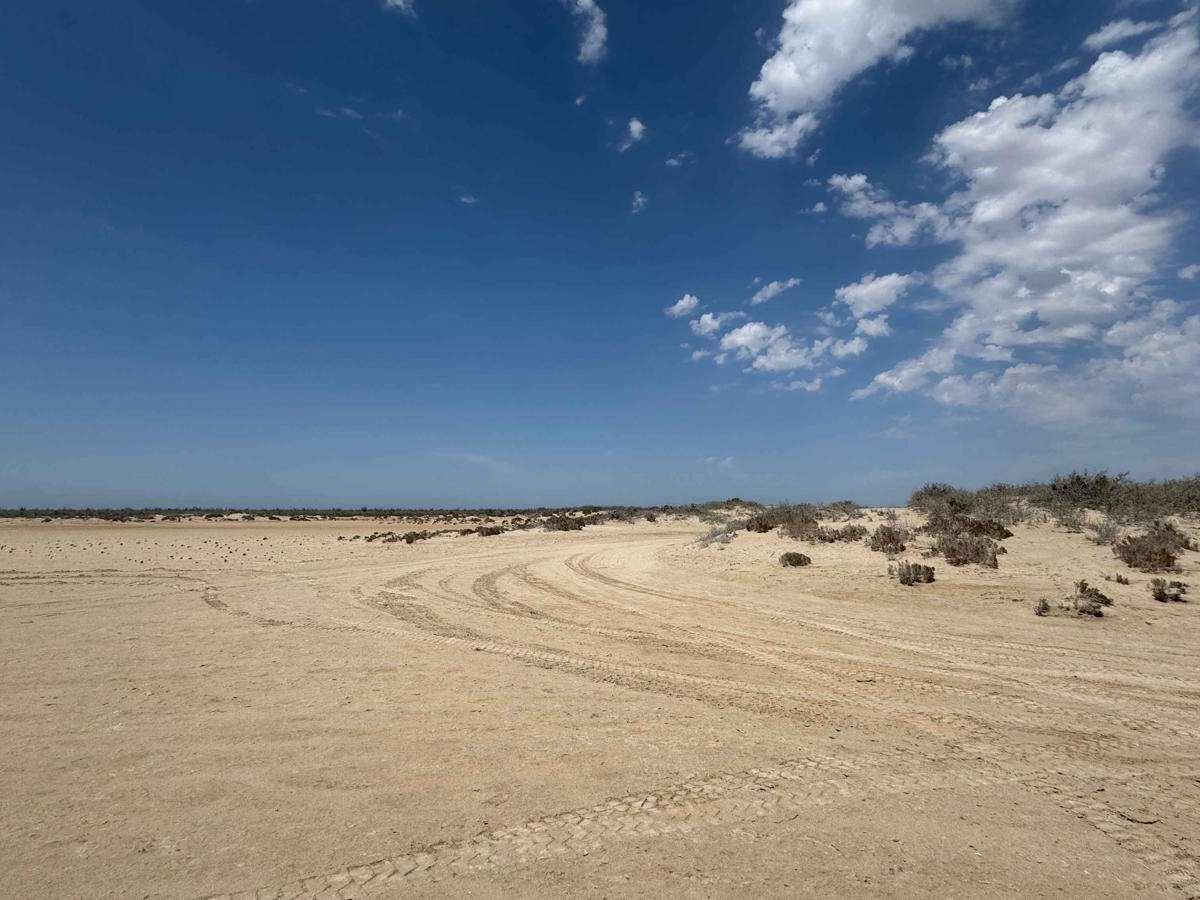
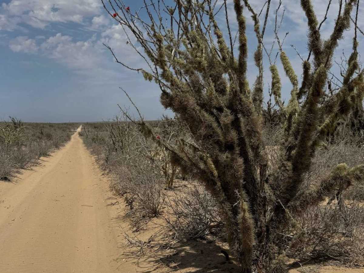
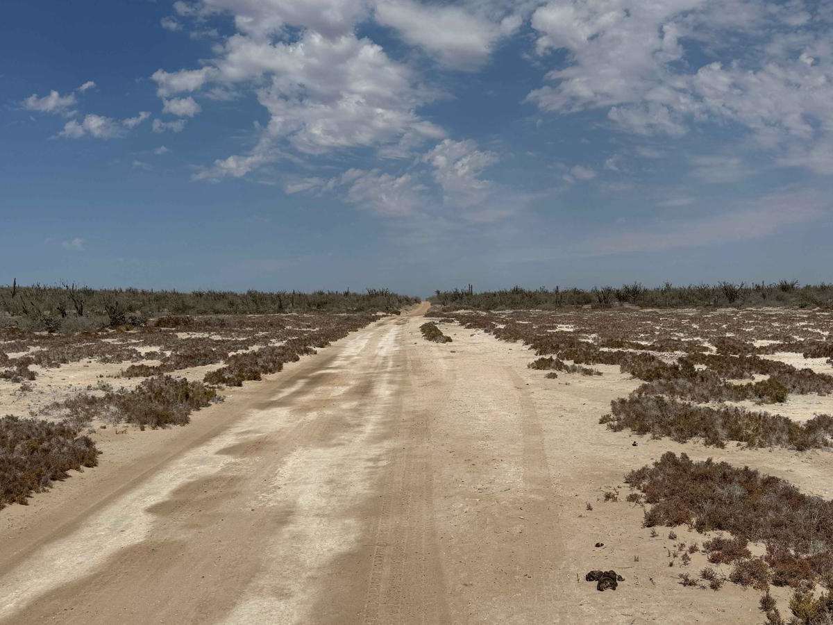
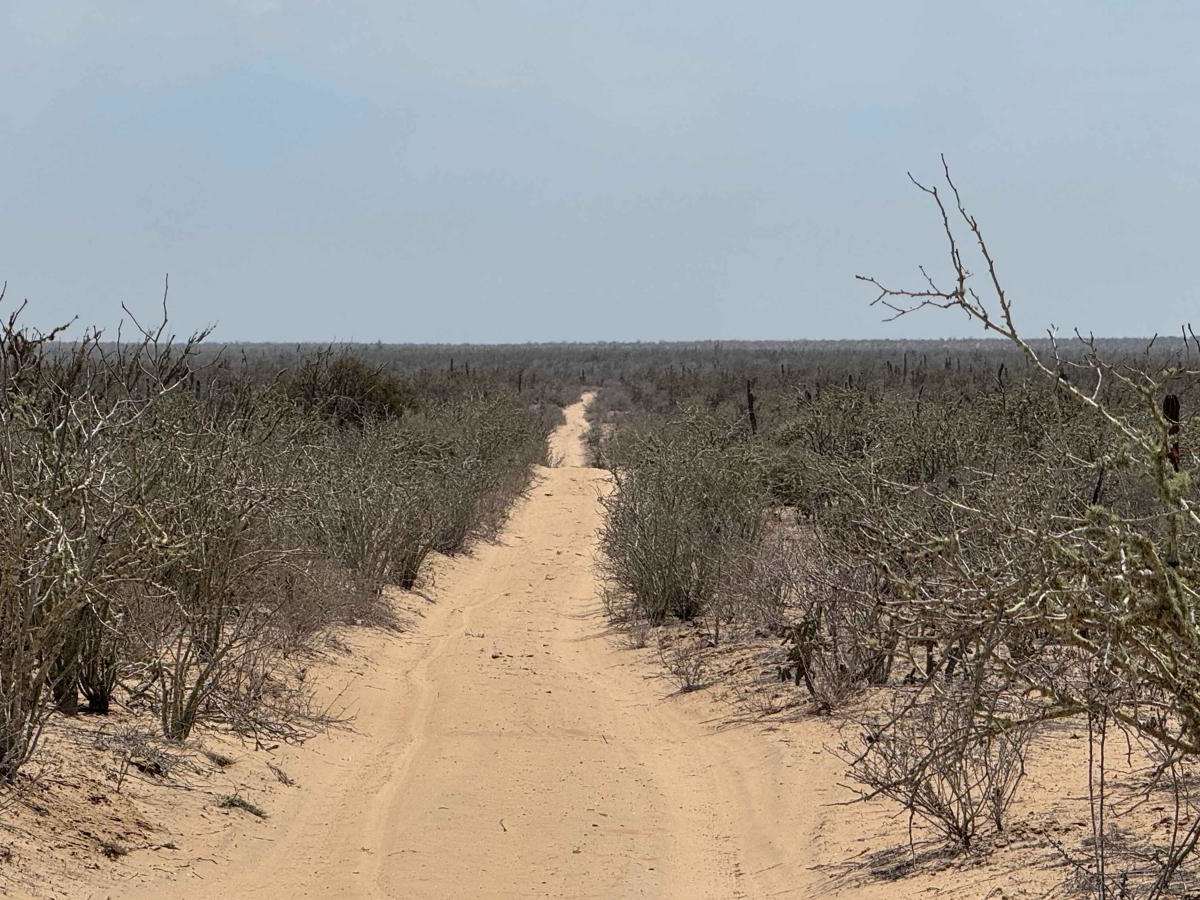
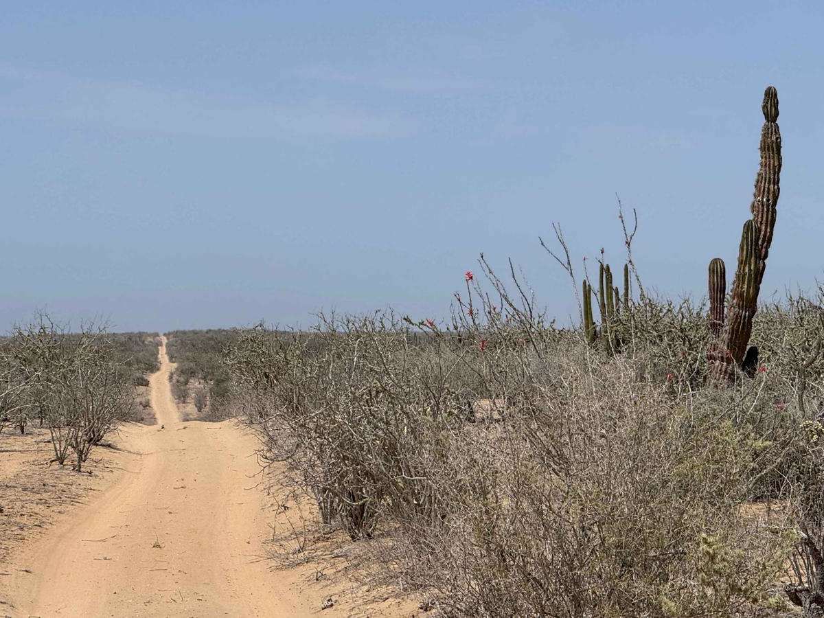
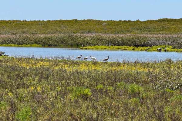
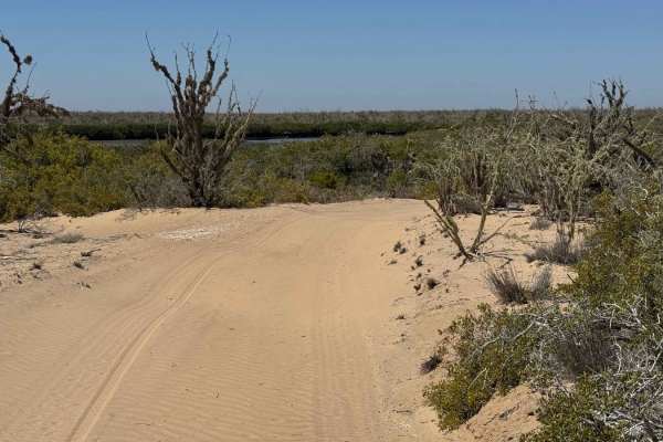
While not the most thrilling trail, this route serves a practical purpose and offers a gradual shift in terrain and atmosphere. Beginning in the east, the first four miles follow a narrow, sandy track through mid-height desert terrain--typically dry and exposed. Around the two-mile mark, just past a right-hand bend, the sand deepens in sections up to five inches, making 4WD and aired-down tires advisable to avoid getting stuck. Beyond mile four, the trail becomes more pleasant as the air cools and freshens, signaling your approach to the coast. The final stretch winds through salt flats and lowland areas that can flood during king tides, so it's crucial to monitor conditions and scout ahead if water appears near or on the trail. The route ultimately connects to another onX trail that hugs the coastal waterway, offering a scenic finish to a modest but worthwhile drive.
Difficulty
This is an easy trail suitable for any vehicle with adequate ground clearance; however, it's essential to check tide charts before entering the lowland section at the end of the route. During high tide, water levels can rise significantly, flooding portions of the road and making travel more difficult or impassable.