Trail Overview
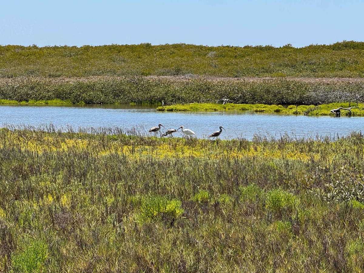
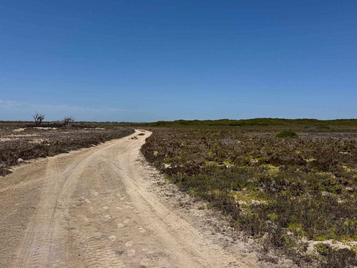
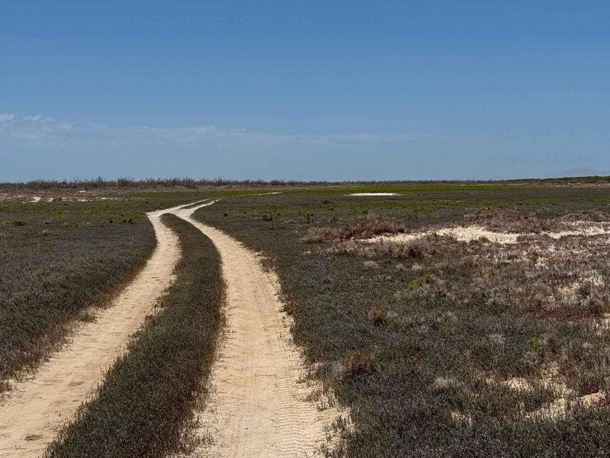
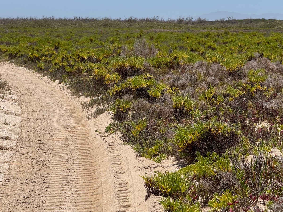
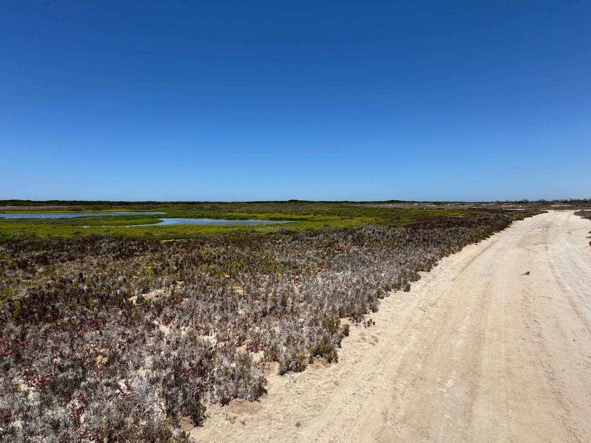
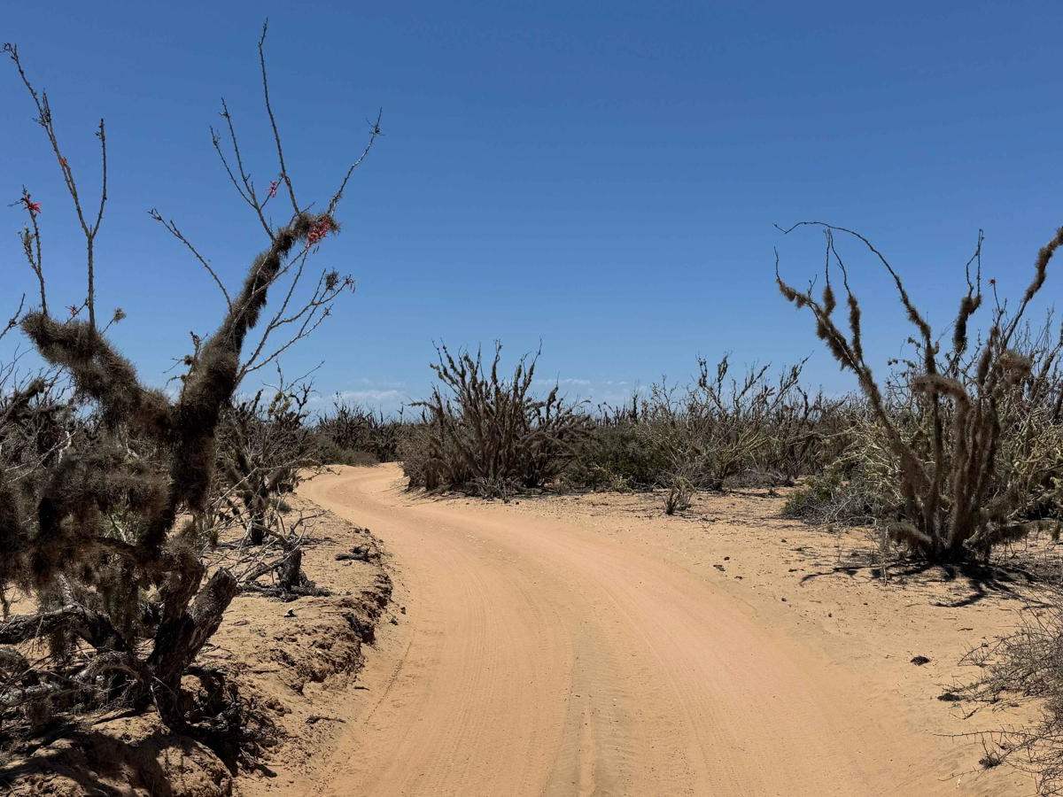
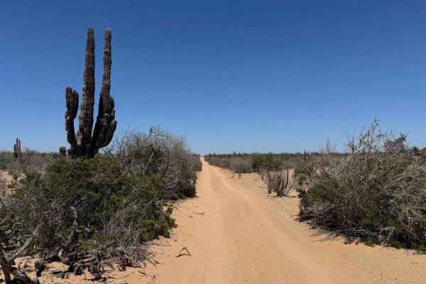
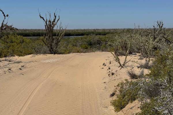
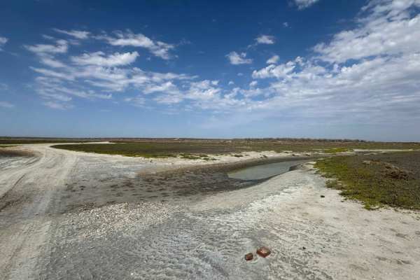
This scenic coastal trail runs north to south, beginning with a straight stretch before curving left and zigzagging through wetlands for approximately six miles, ending in a loop. Throughout the route, you'll typically find lush green mangroves and wetlands to your right, with drier terrain on the left. It's essential to check tide charts in advance, particularly for potential king tides, which can flood large portions of the trail--if you encounter more than a shallow splash across 100 feet or more, consider rerouting. The segments running parallel to the mangroves are especially enjoyable, featuring smooth, slightly moist, and hard-packed surfaces with minimal dust. Wildlife is abundant, with birds gathering near inland waterways and occasional sightings of coyotes and fresh tracks. About two-thirds down the trail, a lesser-used section branches off, where twin tracks weave through dense greenery and intermittently disappear, though they quickly reappear. While most of this trail was mapped on a dirt bike, 2-3 miles was traversed in a large expedition vehicle, making it accessible to most rigs in dry conditions. As the loop nears its end, it forks--one path leads to a fishing camp with scattered structures on the peninsula, while the other continues deeper into the peninsula for further exploration. Continuing on will close the loop and send you back the way you came.
Difficulty
While most of this trail is not technically challenging, it's crucial to consider both tide charts and weather conditions, as the terrain can change significantly when wet. 4WD is highly recommended, as you'll encounter stretches with three to four inches of soft sand, and the area is quite remote--making self-recovery and preparation essential if conditions shift unexpectedly.